리틀 위틀리에서 가장 멋진 7개의 천연기념물
천연기념물을 방문하여 리틀 위틀리의 아름다운 풍경을 만나보세요. 리틀 위틀리에 있는 7
개의 천연기념물과 상세 정보를 살펴본 후에 방문하고 싶은 천연기념물을 다음 모험 계획에 추가해보세요!
마지막 업데이트: 10월 15, 2026

Ankerdine Hill
하이라이트 • 전망대
팁에 의해

이런 장소를 발견하려면 지금 가입하세요
최고의 싱글 트랙, 봉우리 및 다양한 흥미로운 야외 장소에 대한 추천을 받아보세요.
프라이어스 밀과 위어
하이라이트 • 자연 기념물
팁에 의해

설강화가 있는 폭포
하이라이트 • 자연 기념물
팁에 의해

Shavers End Quarry
하이라이트 • 전망대
팁에 의해
무료로 가입하여 리틀 위틀리 주변의 더 많은 자연 기념물을 발견하세요.
이미 komoot 계정이 있나요?
오늘 무료 계정으로 시작하세요
다음 모험이 기다리고 있어요.
커뮤니티 팁

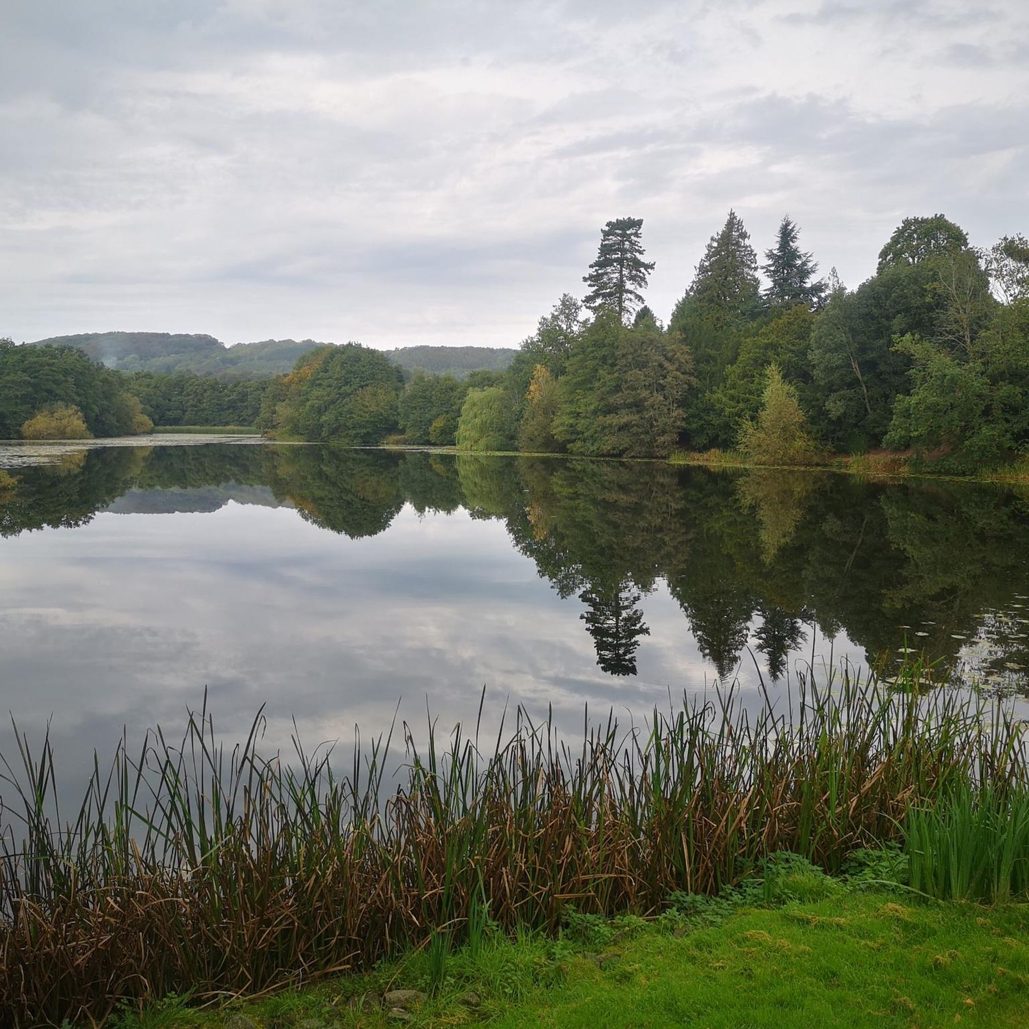
This little man-made waterfall is the overflow from the big lake but is still quite realistic. Best visited in the winter for flow and less foliage to get in the way of the camera shot!|
0
0
A real picturesque old mill, and the Geopark Way affords a really good view of the weir and house from a number of angles.
0
0

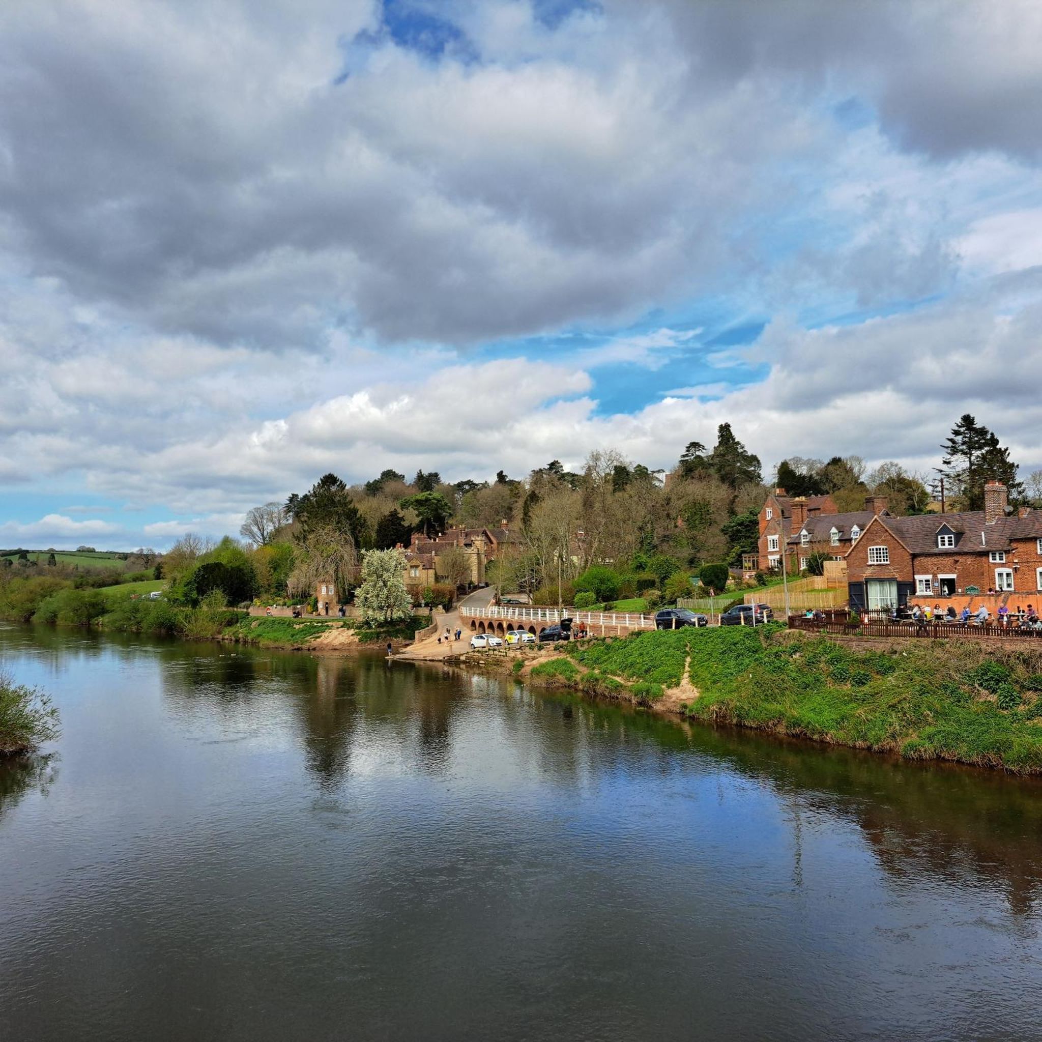
Prior's Mill is a former seventeenth century timber-framed water mill, with twentieth century alterations, and now used as a private residence. Next to it is a very high weir on the Dick Brook. There used to be several mills on this stream long ago.
0
0
Geological overview Just south of Stourport a magnificent river cliff of fine grained red sandstone is seen. Although mainly homogenous in terms of geology, there are white streaks and thin bands of coarse material running throughout the section. The soft sandstone of Redstone Rock is easily carved and there is evidence of human-made habitation in the cliff face since Stone Age times. The caves that can be seen today were mostly made in the 12th century, when a hermitage was established there, conveniently located for the hermits to be on hand to offer blessings and prayers for passers-by in return for alms. It was said to house up to 500 men, who may have also manned the ferry crossing, which was there due to the presence of a ford until the river was dredged. The caves were later used as domestic dwellings and were inhabited almost continuously until the mid twentieth century. Source: Geopark.org
0
0
Shavers End Quarry is one of many quarries in the area located on the Abberley Hills, where the limestone is a sought after material for lime kilns, construction and the aggregates industry. Quarrying activity at Shavers End Quarry has sliced through the North West corner of Abberley Hill, providing a geological cross section for people to study the structure of the area in detail. The scale of the site, partnered with the bare rock faces allows visitors to fully appreciate the complex tectonic history of the area. Within the quarry there are two distinct rock formations exposed; the Lower Ludlow Shales Group and the Aymestry Limestone Formation. The Lower Ludlow Shales Group is the lower of the two units and consists of a series of siltstones and bluish grey mudstones. These rocks can be best seen at the southern end of the quarry, as well as on the eastern banks of the quarry lakes. The Aymestry Limestone is a blue-grey, nodular argillaceous limestone and forms the main rock face that extends along the western side of the quarry. The limestone is shaly and impure and notably contains a thick band of bentonite. Shavers End Quarry sits variably in the hinge zone and on the overturned limb of a large fold. The Lower Ludlow Shales and Aymestry Limestone at this locality are upside-down, suggested by the wrong-way-up orientation of fossils and other sedimentary structures. The age of folding has been the subject of much debate, with many different interpretations; it may have formed during the Variscan Orogeny (~300 million years ago); others suggested that folding occurred during the earlier Caledonian Orogeny (390 million years ago). However it is generally agreed that folding was instigated by thrust faulting on the East Malvern Fault system. This site is part of the Community Earth Heritage Champions Project.
0
0


Just south of Stourport-on-Severn, Redstone Caves are made from Triassic sandstone. Carved out in the 12th century and then home to a hermitage, it seems extraordinary today that once up to 500 men lived here. The Geopark Way, a long-distance footpath specialising in geological marvels in the area, runs unsurprisingly right past these caves.
1
0

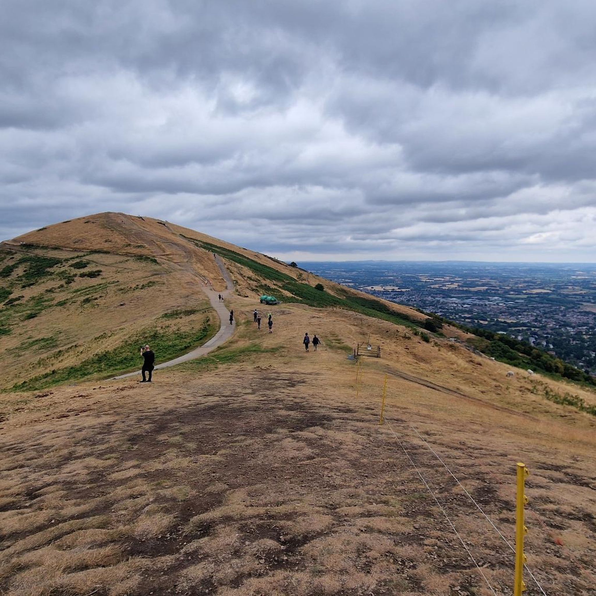
Ankerdine Hill, at 489 feet (149 m), is part of the Abberley Hills ridge in the Abberley and Malvern Hills Geopark. The ridge was formed during the Silurian period and is of considerable geological significance. The River Teme loops around the hill, surrounding it on its western, southern and eastern side, giving it superb views of the Teme Valley. It is most commonly ascended from the village of Knightwick, where the award-winning Talbot pub is a good post-hike option.
0
0
리틀 위틀리 주변에서 가장 인기 있는 경로
리틀 위틀리 주변에서 가장 인기 있는 명소


더 살펴보기
리틀 위틀리 주변의 최고의 동굴을 찾기 위해 이 가이드를 확인해보세요:
