월터스톤에서 가장 멋진 16개의 천연기념물
천연기념물을 방문하여 월터스톤의 아름다운 풍경을 만나보세요. 월터스톤에 있는 16
개의 천연기념물과 상세 정보를 살펴본 후에 방문하고 싶은 천연기념물을 다음 모험 계획에 추가해보세요!
마지막 업데이트: 10월 4, 2026
스키리드 파우어 정상
하이라이트 • 등반
팁에 의해

Sugar Loaf 정상
하이라이트 • 정상
팁에 의해

이런 장소를 발견하려면 지금 가입하세요
최고의 싱글 트랙, 봉우리 및 다양한 흥미로운 야외 장소에 대한 추천을 받아보세요.
캠브리언 웨이의 슈가로프 정상
하이라이트 (구간) • 트레일
팁에 의해

Hatterrall Hill 정상
하이라이트 • 전망대
팁에 의해

무료로 가입하여 월터스톤 주변의 더 많은 자연 기념물을 발견하세요.
이미 komoot 계정이 있나요?
오늘 무료 계정으로 시작하세요
다음 모험이 기다리고 있어요.
커뮤니티 팁

Easy accent if climbing from the side of the national trust carpark. For a more challenging climb, accend from the opposite side.
0
0

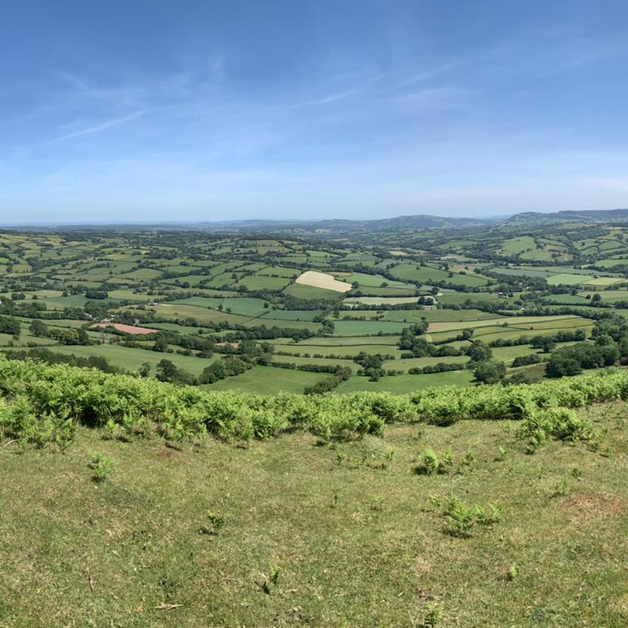
The Cambrian Way is an iconic long-distance footpath that runs 298 miles (480 km) from Cardiff in the south to Conwy in the north. That distance comes with a challenging 22,500m (73,700ft) of height gain. This tough trail passes through some of the most spectacular and beautiful scenery in Wales. It can also be very remote, and in the north you will hit rugged terrain that will include high ridges and challenging mountains. You can do it in more attainable one-day sections, or you can be a purist and do it in a gruelling, continuous three-week hiking odyssey. Here on the southern flanks of the Sugarloaf, the terrain might be more sedate, but it is as equally as beautiful. The hike up from Abergavenny on this Cambrian Way section has good views of the Sugarloaf in front, across to the Blorenge in the south, and Skirrid Mawr to the east. Not for nothing was the Sugarloaf included in the Trail magazine’s Top 100 Britain's Greatest Mountains list.
2
0

Formally known as the Sugar Loaf Mountain and is one of the highest peaks in the heart of the Black Mountains. It stands at 1,955 feet high (596 metres). An iconic peak Its conical shape is reminiscent of a volcano, but the mountain is made of the same old red sandstone as the rest of the Black Mountains.
2
0

The roads leading to the Sugar Loaf mountain are all very narrow, 1 car width. You may meet oncoming traffic and need to reverse 100m or more to a passing point. Do not be put off! The car park is small but does have an overflow area 200m before you get to it. The walk leads you naturally into a steep decline into a valley, possibly 130m lower. It doesn’t sound much but the climb from that position is significantly harder. My advice would be to walk around this valley and follow the alternate path. Namely when you walk from the car park do not aim for the top but go further to the left. So much easier to do. The views are stunning and totally worth the effort. Enjoy komooters😀
2
0

This summit with beautiful views over the Black Mountains on the border between Wales and England, felt like the real start of the Beacon Way.
0
0
Although you can barely walk about 2.5m above the surrounding land on this 12-century-old dike, you still get a nice picture of the area. For those walking the Beacons Way, this is a nice run-up to the hills of Brecon Beacon National Park.
1
0

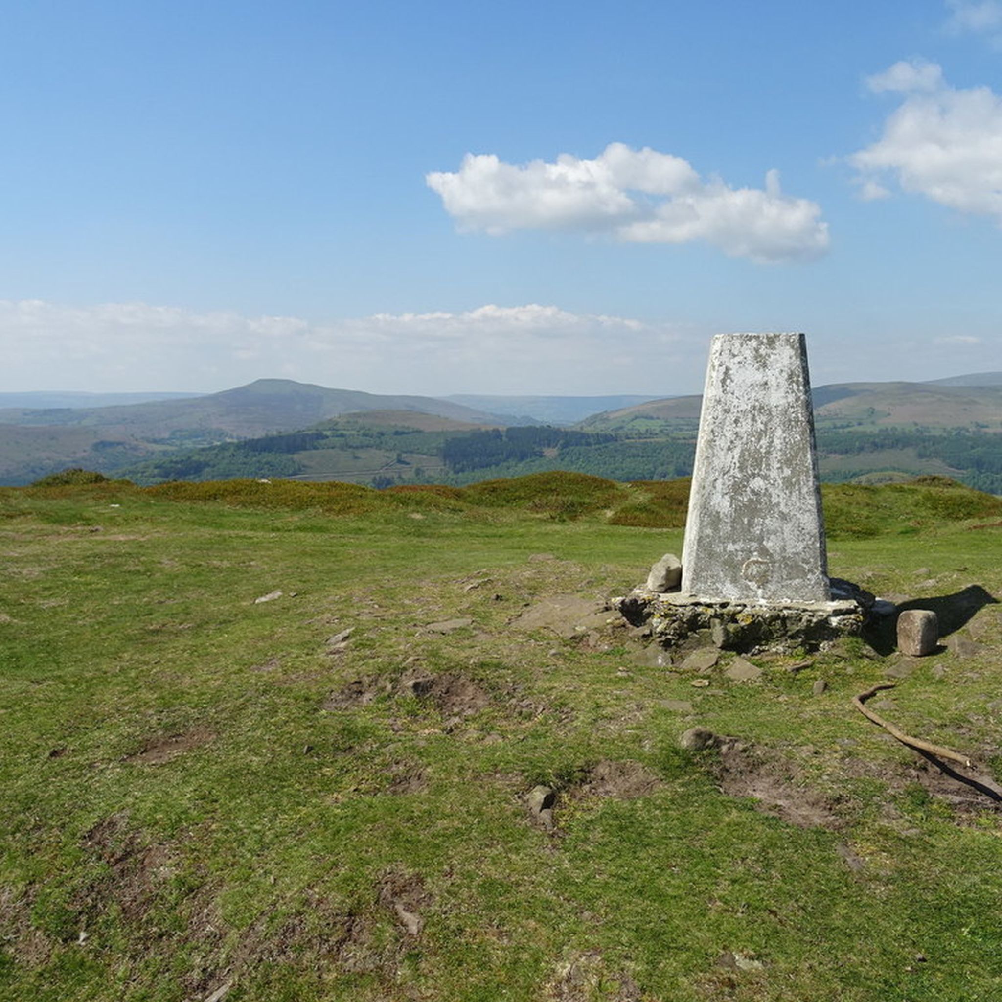
The trig point on Hatterrall Hill stands at 531m. The summit is part of the Hatterrall Ridge which runs north south from Llanvihangel Crucorney up to Hay Bluff. The Offa’s Dyke National Trail follows the ridge path.
0
0
Skirrid (Ysgyryd) Fawr is an outlier of the Bannau Brycheiniog (Brecon Beacons), set within the Black Mountains on the eastern edge of the National Park. The obvious route from the car park makes a great run, heading to the south up the beautiful main ridge. You can drop off the steep side to loop around the mountain, or turn round and speed back down the ridge. The summit at the northern end of the ridge has a trig point standing at 1,595 feet (486 m). The intriguing remnants of both an Iron Age hill fort and mediæval chapel are quite obvious here. Skirrid is also the first (or last) peak on the Beacons Way and the Abergavenny Three Peaks loop.
0
0
월터스톤 주변에서 가장 인기 있는 경로
월터스톤 주변에서 가장 인기 있는 명소


더 살펴보기
월터스톤 주변의 최고의 동굴을 찾기 위해 이 가이드를 확인해보세요:
