란브라다흐에서 가장 멋진 13개의 천연기념물
Llanbradach 주변의 최고의 자연 기념물은 푸른 강 계곡, 광활한 삼림 지대, 완만한 언덕이 특징입니다. 이 지역은 상당한 레크리에이션 및 경관 가치를 제공하며 수많은 걷기 및 하이킹 트레일을 위한 배경을 제공합니다. 자연 환경은 하이킹을 통해 자연과 연결되고 경치 좋은 전망을 즐길 수 있는 기회를 제공합니다. 이 지역에는 자연적 특성으로 인해 높은 평가를 받는 두드러진 언덕과 삼림 지대가 있습니다.
Llanbradach 주변 최고의 자연 기념물
- 가장 인기 있는 자연 기념물은 카디프 바로 외곽에서 탁 트인 전망을 제공하는 전망대인 Garth Summit입니다. 이 언덕은…
마지막 업데이트: 10월 4, 2026
Twmbarlwm 언덕과 철기 시대의 언덕 요새
하이라이트 • 역사적 장소
팁에 의해

Mynydd Machen 정상
하이라이트 • 전망대
팁에 의해
이런 장소를 발견하려면 지금 가입하세요
최고의 싱글 트랙, 봉우리 및 다양한 흥미로운 야외 장소에 대한 추천을 받아보세요.

Radyr Weir
하이라이트 • 구조물
팁에 의해


오늘 무료 계정으로 시작하세요
다음 모험이 기다리고 있어요.
커뮤니티 팁

Nice ascent from Crosskeys, but watch out for very overgrown pathways on the Machen side. Great views from the top!
1
0
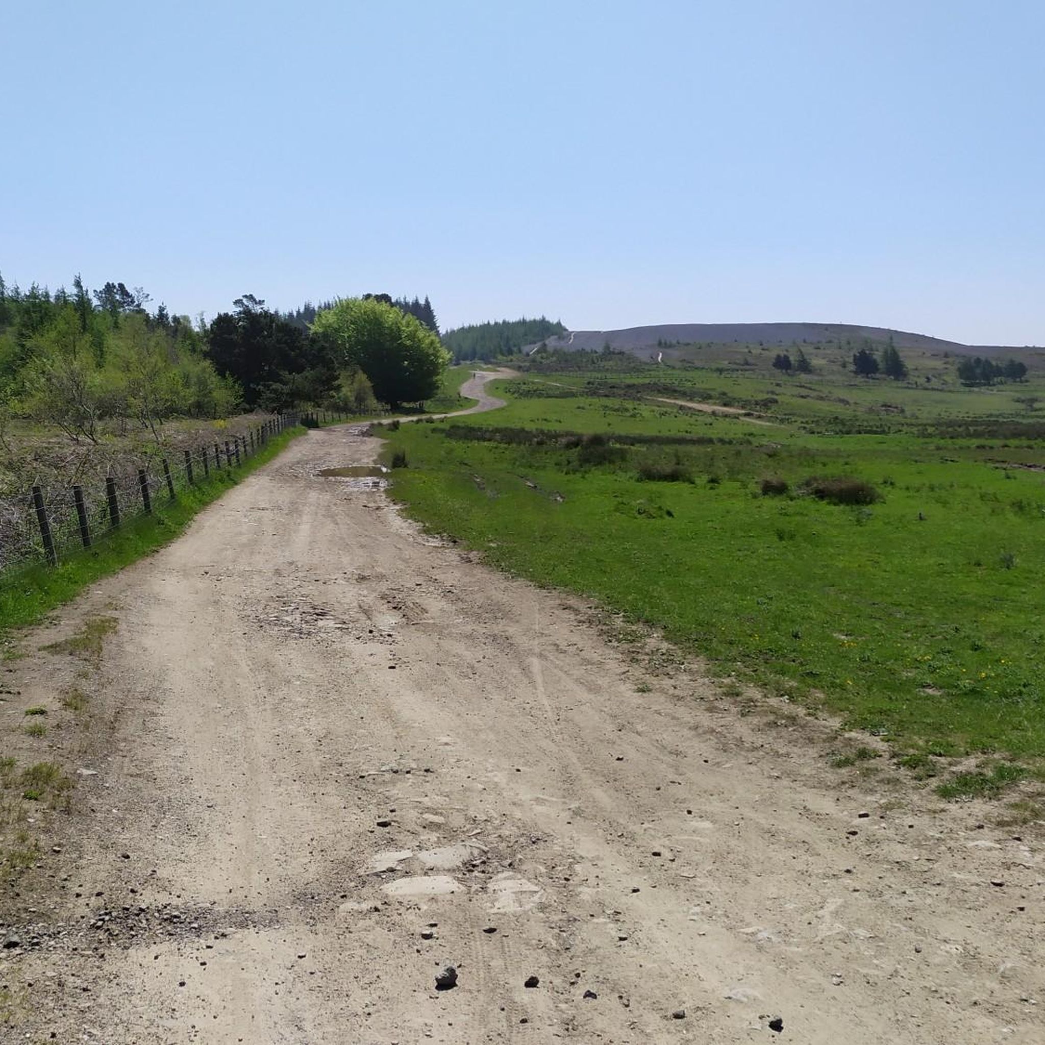
The Garth has a nice flat top with views across the valleys. Lots of sheep grazing too (March). Also a number of mounds provide some cover from the wind if a break is in order
0
0

Twmbarlwm is a prominent hill and archaeological site located near the town of Cwmcarn in South Wales. It is part of the Caerphilly County Borough and is known for both its natural beauty and historical significance. Here are some key points about Twmbarlwm: Key Features: Hillfort: Twmbarlwm is home to the remains of an ancient hillfort, dating back to the Iron Age. The fortifications, which include earthworks and ramparts, suggest it was a significant settlement during that period. Celtic Connections: The name "Twmbarlwm" is thought to derive from Welsh, with "Twm" being a diminutive of "Tudur" and "barlwm" referring to a mound or hill. The site is associated with Celtic history and mythology. Natural Beauty: The hill offers stunning views of the surrounding landscape, including the nearby valleys and mountains. It is a popular destination for walkers, hikers, and outdoor enthusiasts. Archaeological Significance: Twmbarlwm has been the subject of various archaeological studies, which have revealed insights into ancient settlement patterns, defensive strategies, and daily life in prehistoric Wales. Access: The hill is accessible via footpaths, making it a popular spot for local residents and visitors. There are several trails that lead to the summit, offering a rewarding hike. Cultural Heritage: The site is connected to local folklore and legends, contributing to its cultural significance in the region. Visiting: If you plan to visit Twmbarlwm, it’s a good idea to check local resources or hiking guides for specific trails and information about the area. The site is a great way to experience the natural beauty and historical richness of South Wales.
1
0

The weir spans the River Taff, which flows directly through the heart of South Wales. It's a nice place to stop and refuel with picnic benches and a peaceful atmosphere.
1
0

A small summit above Risca. Known locally as the "Twmp" (the hump), the pimple or the nipple, due to the shape of the mound on the summit.
1
0
The pretty Radyr Weir spans over the River Taff and is currently working as a hydropower scheme, providing energy locally. You may find wild salmon and sea trout near the weir, as well as cormorants and grey herons.
1
0

High above the A470 to the north of Quaker’s Yard, the Giant’s Bite is a dramatic gap in the skyline quarried from the ridge top at the former Cefn Glas mine and quarry. ❤️👌 The site was intensively grazed up to the mid-1990s when a large belt of native trees were planted on the lower slopes. These trees are now maturing and have helped to heal the visible mining scares. The shales forming the upper soil horizons support a wide variety of native flowering grassland species including wild strawberry, cowslip, foxglove and wild thyme, and the site is increasingly becoming re-vegetated by scrub species. Incredibly Fine views of the Taff and Cynon valleys are afforded from the summit ridge, while the line of the former Glamorganshire Canal is also discernible.
1
0

plenty of free parking in Machen next to the village hall and library
1
0
란브라다흐 주변에서 가장 인기 있는 명소


더 살펴보기
란브라다흐 주변의 최고의 동굴을 찾기 위해 이 가이드를 확인해보세요:
