휘트본에서 가장 멋진 15개의 천연기념물
천연기념물을 방문하여 휘트본의 아름다운 풍경을 만나보세요. 휘트본에 있는 15
개의 천연기념물과 상세 정보를 살펴본 후에 방문하고 싶은 천연기념물을 다음 모험 계획에 추가해보세요!
마지막 업데이트: 10월 17, 2026

테이블 힐 (375m)
하이라이트 • 자연 기념물
팁에 의해

이런 장소를 발견하려면 지금 가입하세요
최고의 싱글 트랙, 봉우리 및 다양한 흥미로운 야외 장소에 대한 추천을 받아보세요.
Sugarloaf Hill
하이라이트 • 자연 기념물
팁에 의해

로즈 뱅크 가든과 버저드 조각상
하이라이트 • 구조물
팁에 의해
탱크 쿼리 지질 트레일
하이라이트 • 트레일
팁에 의해
무료로 가입하여 휘트본 주변의 더 많은 자연 기념물을 발견하세요.
이미 komoot 계정이 있나요?
오늘 무료 계정으로 시작하세요
다음 모험이 기다리고 있어요.
커뮤니티 팁

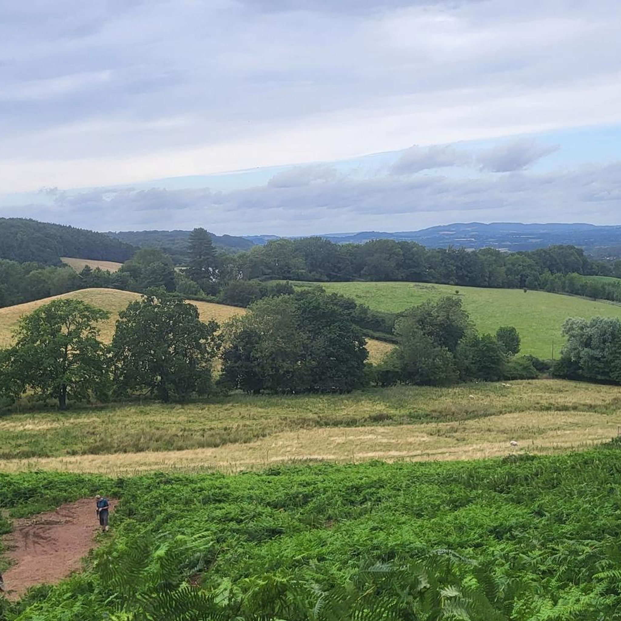
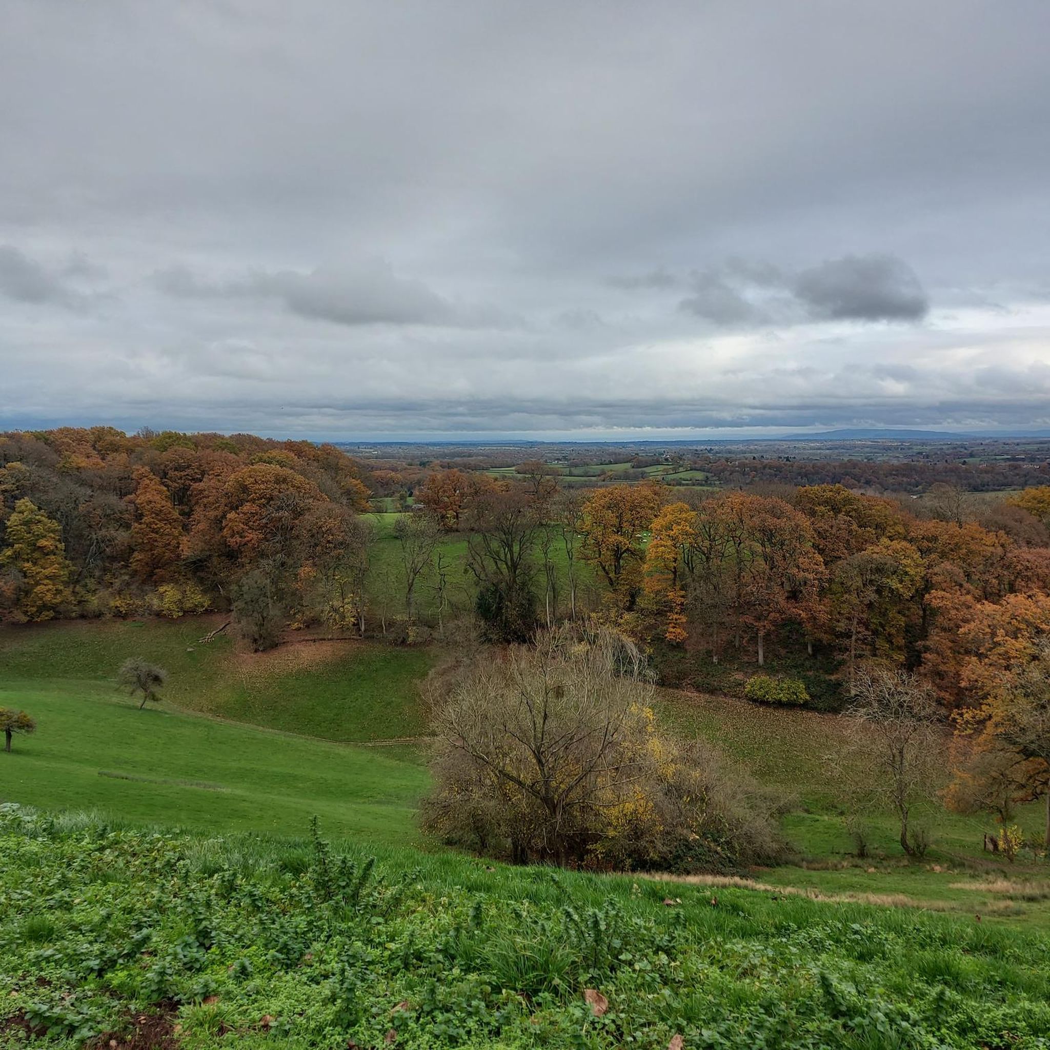
North Hill is a very good viewpoint - but this image was taken on the way up to Table Hill, which is next to North HIll.
0
0
Sugar Loaf hill is to be recommended, but unfortunately the hill in the centre of this picture is North Hill. Sugar Loaf Hill is on the extreme left of the picture, just about in shot.
0
0
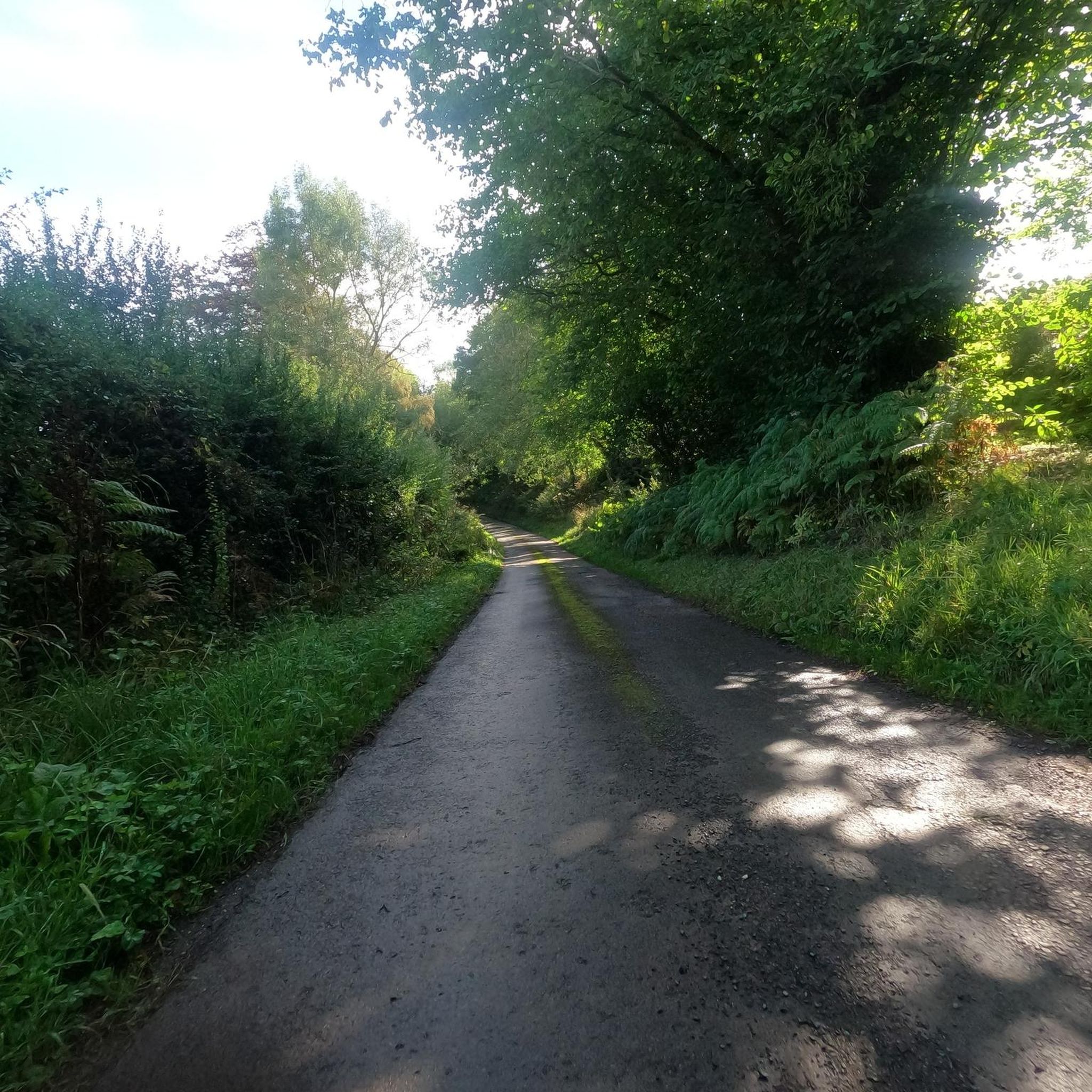
Between North Hill and The Beacon (and Sugar Loaf Hill) this flat topped hill can get overlooked, but it does afford great views of the Beacon, and is photogenic in it's own right when covered in snow.
0
0

North Hill is the second highest point of the range of Malvern Hills that runs about 13 kilometres (8.1 mi) north-south along the Herefordshire-Worcestershire border, although North Hill lies entirely within Worcestershire. It has an elevation of 397 metres (1,302 ft), making it the highest point of the Worcestershire Way. The eastern flank of the hill lies directly behind Worcester road in Great Malvern from where its summit is a brisk 15 – 20 minutes steep walk from the town centre via St Ann's road and Happy Valley. A path from the car park in North Malvern follows the lower contour of North Hill to Happy Valley and St. Ann's Well. Although the flint route from North Wales to Wessex lay to the north of Malvern, there is some evidence to suggest that traders passed over the Malvern Hills. Parts of an arrowhead, scraper and flint flakes have been discovered between the North Hill and Table Hill. A 19th-century guide book describes both a collapsed burial mound on North Hill named the Giant's Grave and a tump on Table Hill. These tumuli may have been connected to the Dobunni settlement in Mathon. A track that runs along North Hill was known as the "Pyx Path" and was used by the priest from Worcestershire when bringing Sacrament to the hermits that lived in Malvern in the 11th Century. It was also referred to as the "Pixie Path", as it was believed to be used by fairies. The Lodge spring can be found at the foot of North Hill, off Worcester road. The ornamental fountain has a small spout and basin that is similar in design to those at St Ann's Well.
1
0
Table Hill is situated in the range of Malvern Hills that runs about 13 kilometres (8 mi) north-south along the Herefordshire - Worcestershire border. It lies between North Hill and Sugarloaf Hill and has an elevation of 373 metres (1,224 ft). Although the flint route from North Wales to Wessex lay to the north of Malvern, there is some evidence to suggest that traders passed over the Malvern Hills. Parts of an arrowhead, a scraper and flint flakes have been discovered between North Hill and Table Hill. A 19th-century guidebook describes a collapsed burial mound on North Hill, named the Giant's Grave, and a tump on Table Hill. These tumuli may have been connected to the Dobunni settlement in Mathon: Upon the Table Hill, you will perceive the figure of a large table, from which the name is derived. In the centre is a cross, of the same size as that by the Giant's Grave, upon North Hill. Source: Wikipedia
0
0
Sugarloaf Hill lies between the Worcestershire Beacon and North Hill in the range of Malvern Hills that runs about 13 kilometres (8 mi) north-south along the Herefordshire - Worcestershire border. The summit of Sugarloaf Hill is 368 metres (1,207 ft) above sea level and is a popular peak usually passed by walkers hiking between the Worcestershire Beacon and North Hill — respectively the highest and second highest Malvern Hills summits.
0
0

Enjoy another excellent view from the top of Sugarloaf Hill, a 368m hilltop located in the beautiful Malvern Hills in Worcestershire.
1
0
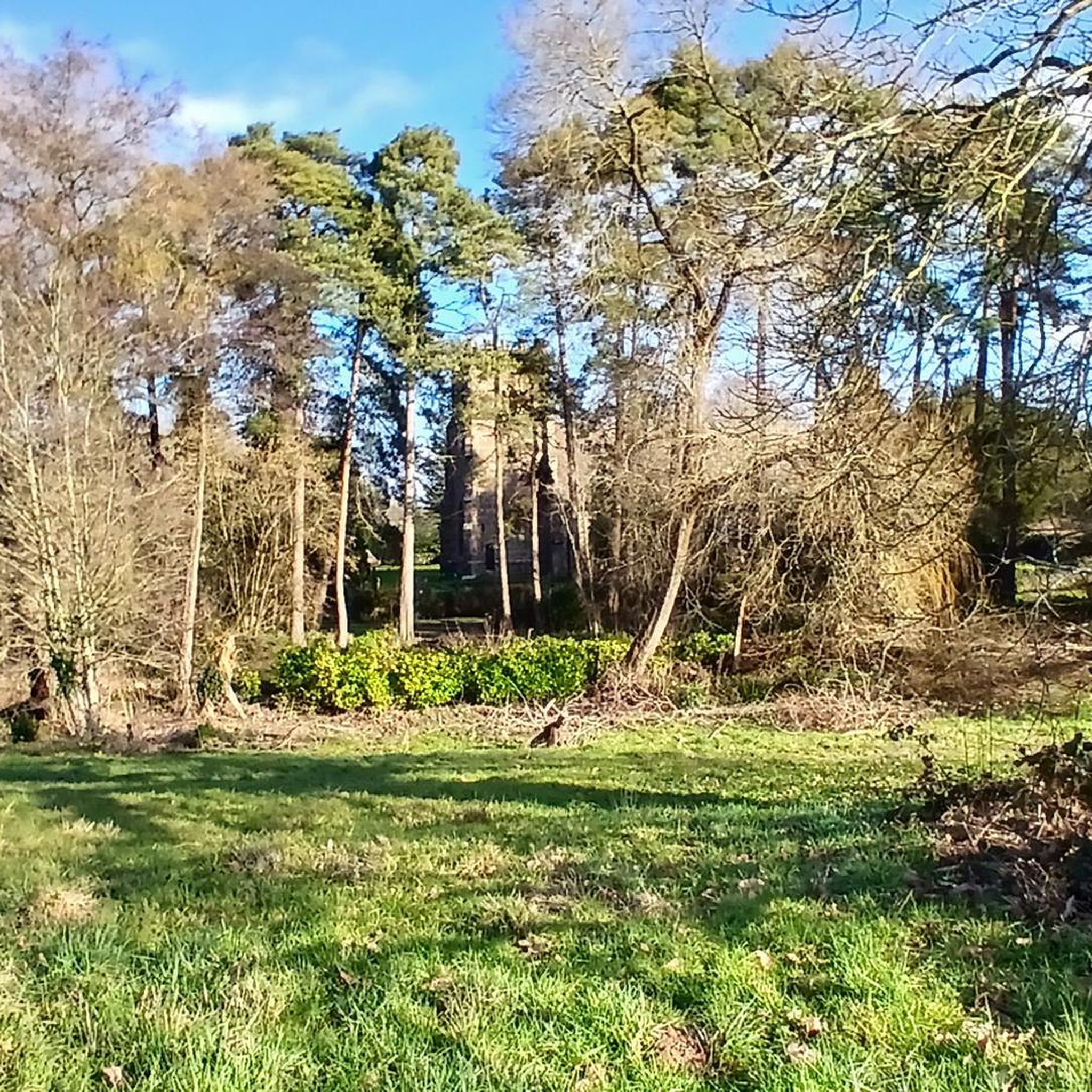
Tank Quarry is one of largest quarries that can be found on the Malvern Hills. Located on the north-eastern side of North Hill, the quarry faces reach approximately 100m in height and are 80m wide at the base. The geology of Tank Quarry dates to the Precambrian, approximately 680 million years ago, which means that these rocks are some of the oldest exposed in England. The clear quarry face enables amateurs and experts to study the complex nature of the igneous and metamorphic geology on display. The quarry itself is not accessible however the rest of this large site has many accessible rock faces, a geology trail, interpretation boards, picnic area, wonderful view across the Worcester plain and a carpark. Tank Quarry is a Community Conservation Champions site. The ‘Champions’ are a loosely knit group of volunteers who are actively involved in the maintenance and public promotion of 19 geological sites spread across the counties of Herefordshire and Worcestershire. They are engaged in a wide range of activities which vary according to the nature of the site. Source: geopark.ork.uk
0
0
휘트본 주변에서 가장 인기 있는 경로
휘트본 주변에서 가장 인기 있는 명소


더 살펴보기
휘트본 주변의 최고의 동굴을 찾기 위해 이 가이드를 확인해보세요:
