이스트너에서 가장 멋진 20개의 천연기념물
천연기념물을 방문하여 이스트너의 아름다운 풍경을 만나보세요. 이스트너에 있는 20
개의 천연기념물과 상세 정보를 살펴본 후에 방문하고 싶은 천연기념물을 다음 모험 계획에 추가해보세요!
마지막 업데이트: 10월 17, 2026
워스터셔 비콘 정상 및 토포스코프
하이라이트 • 자연 기념물
팁에 의해

헤리퍼드셔 비콘(브리티시 캠프)
하이라이트 • 정상
팁에 의해

이런 장소를 발견하려면 지금 가입하세요
최고의 싱글 트랙, 봉우리 및 다양한 흥미로운 야외 장소에 대한 추천을 받아보세요.
미드서머 힐 철기시대 언덕 요새
하이라이트 • 역사적 장소
팁에 의해


무료로 가입하여 이스트너 주변의 더 많은 자연 기념물을 발견하세요.
이미 komoot 계정이 있나요?
오늘 무료 계정으로 시작하세요
다음 모험이 기다리고 있어요.

커뮤니티 팁

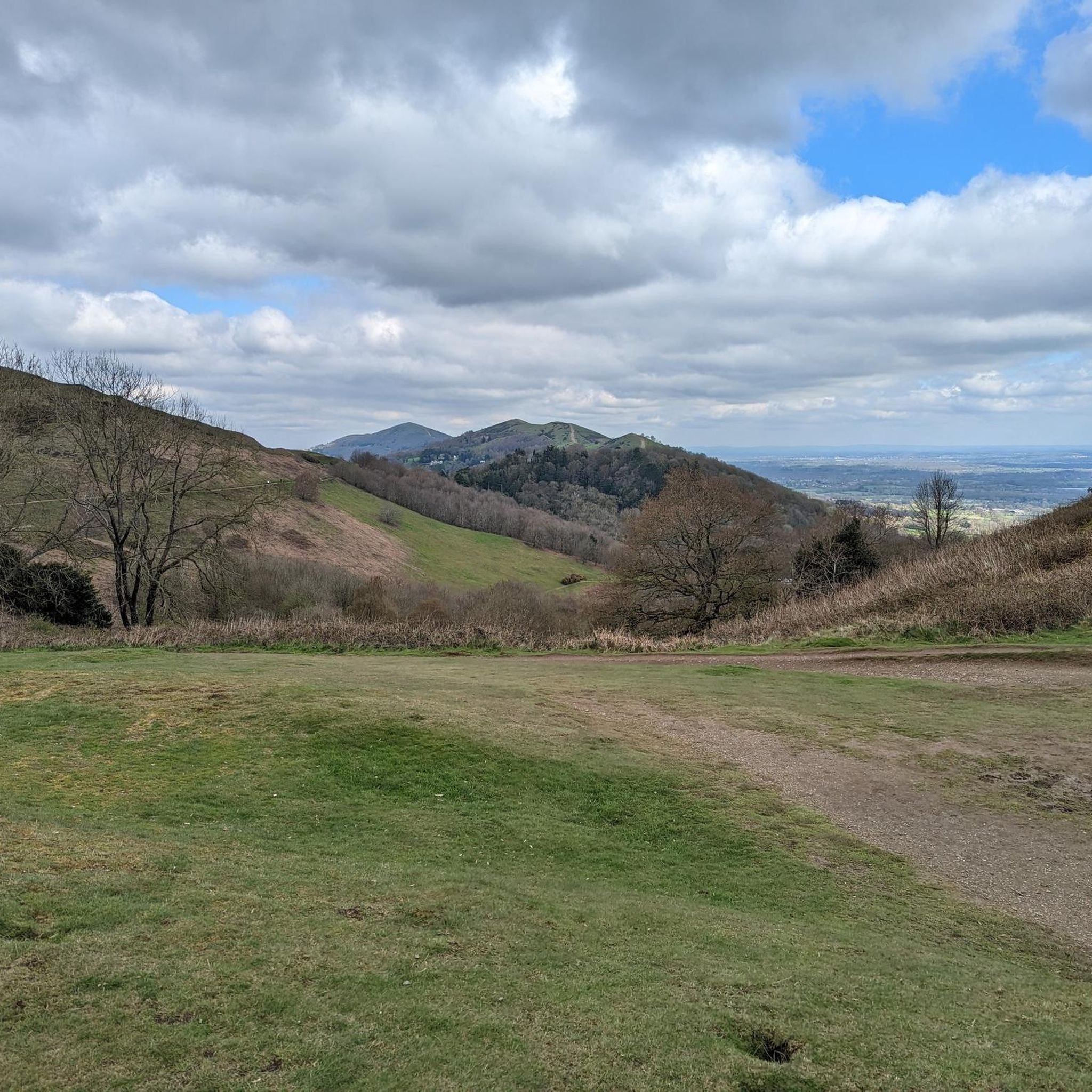
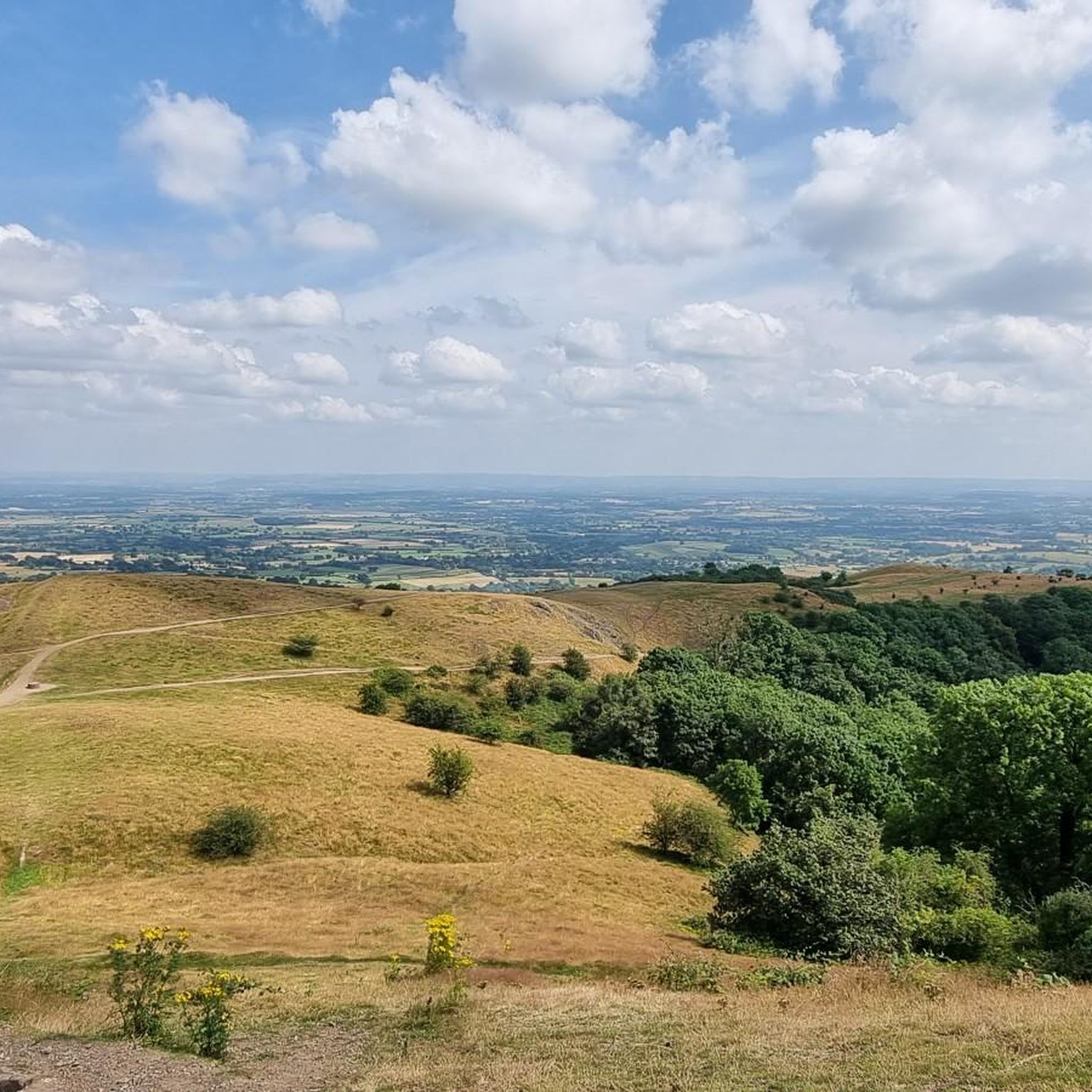
One of the finest hills in the Malverns with it's Iron Age Hillfort (yes another one on the Malverns!), and superb views west across Eastnor Park. It used to be heavily wooded on the Eastern Side, but Ash Die-back disease has caused a huge number of large mature Ash trees to be felled in recent times. This is still a hill to be savoured and you will not see too many people here either.
0
0
North Hill is a very good viewpoint - but this image was taken on the way up to Table Hill, which is next to North HIll.
0
0
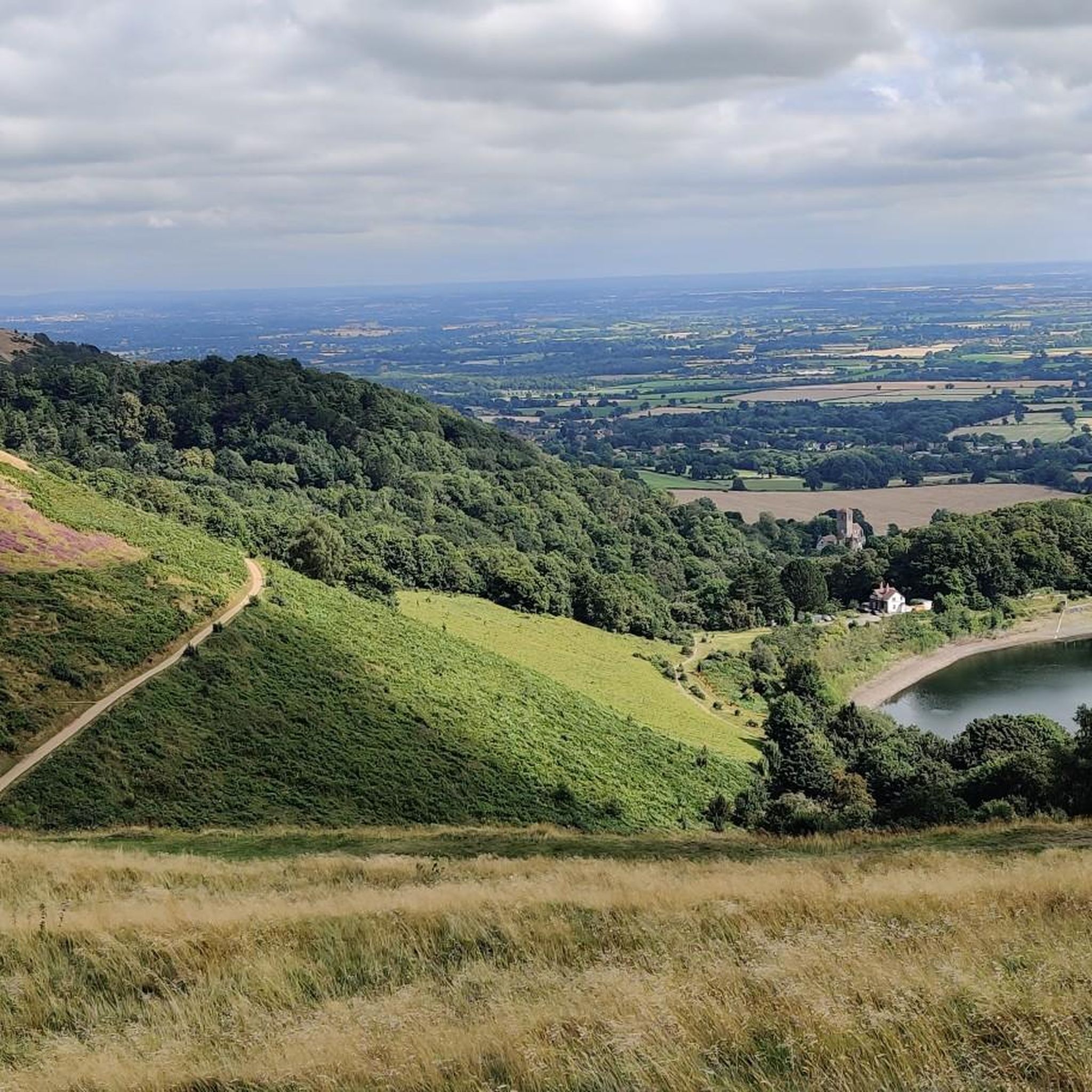
Summer Hill is a bit of a bump in between the Beacon and the Wyche Cutting, however it's steep southern aspect does afford some of the best views along the Malvern Hills ridge, particularly when there is an Inversion happening.
0
0

Midsummer Hill rises in the southern part of the Malvern Hills and is a very worthy objective. Site of a former hillfort, along with neighbouring Hollybush Hill, it provides extensive views, with the impressive Eastnor Castle visible in the Herefordshire countryside. A hike to the top could be combined with Herefordshire Beacon to the north, or a longer outing traversing the entire Malvern ridge.
0
0

North Hill is the second highest point of the range of Malvern Hills that runs about 13 kilometres (8.1 mi) north-south along the Herefordshire-Worcestershire border, although North Hill lies entirely within Worcestershire. It has an elevation of 397 metres (1,302 ft), making it the highest point of the Worcestershire Way. The eastern flank of the hill lies directly behind Worcester road in Great Malvern from where its summit is a brisk 15 – 20 minutes steep walk from the town centre via St Ann's road and Happy Valley. A path from the car park in North Malvern follows the lower contour of North Hill to Happy Valley and St. Ann's Well. Although the flint route from North Wales to Wessex lay to the north of Malvern, there is some evidence to suggest that traders passed over the Malvern Hills. Parts of an arrowhead, scraper and flint flakes have been discovered between the North Hill and Table Hill. A 19th-century guide book describes both a collapsed burial mound on North Hill named the Giant's Grave and a tump on Table Hill. These tumuli may have been connected to the Dobunni settlement in Mathon. A track that runs along North Hill was known as the "Pyx Path" and was used by the priest from Worcestershire when bringing Sacrament to the hermits that lived in Malvern in the 11th Century. It was also referred to as the "Pixie Path", as it was believed to be used by fairies. The Lodge spring can be found at the foot of North Hill, off Worcester road. The ornamental fountain has a small spout and basin that is similar in design to those at St Ann's Well.
1
0
The hill lies to the south of the Worcestershire Beacon, which is Worcestershire's (and the Malvern Hills') highest hill, and Summer Hill's summit, though often overlooked given the grandeur of its neighbour, is a most respectable 1,253 feet above sea level. Source: Wikishire
0
0
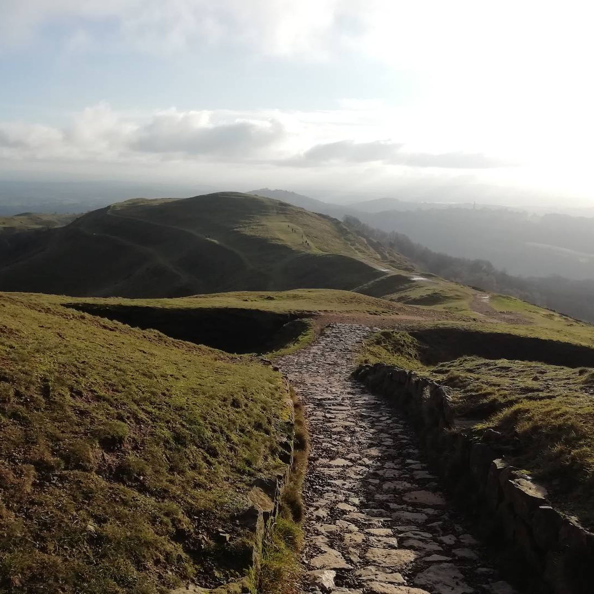
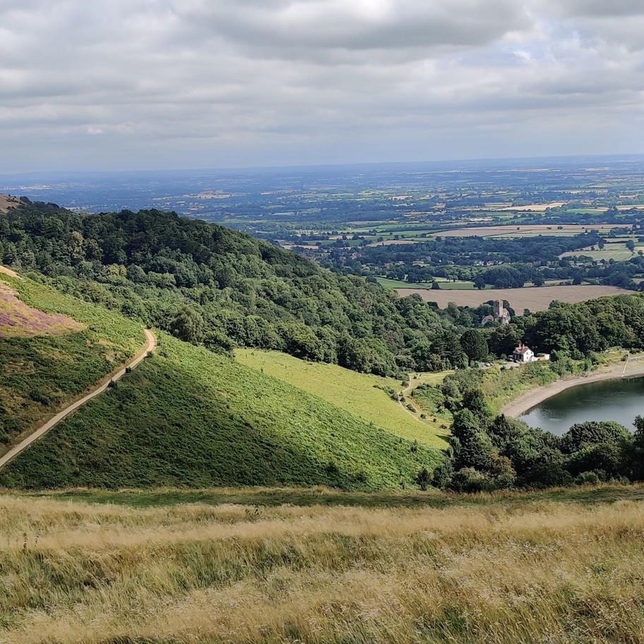
The Herefordshire Beacon is one of the highest peaks of the Malvern Hills. It is surrounded by a British Iron Age hill fort earthwork known as British Camp. The fort subsequently had a ringwork and bailey castle built inside its boundary and there is evidence of 120 huts in the area. British Camp has been a scheduled monument since 1923. On the eastern slope of Herefordshire Beacon, there is a disused reservoir, British Camp Reservoir, which holds approximately 213,000 cubic metres (7,500,000 cu ft) of water. Herefordshire Beacon represents one of the Malvern Hills, 1,109 feet (338 m) high, and is the second highest summit in the hills. It is within the county of Herefordshire, but is directly adjacent to the border with Worcestershire to the east. Atop Herefordshire Beacon, there is an Iron Age hill fort, known as British Camp, and would have held a settlement between 4th century BCE and 1st century CE. A ringwork and bailey castle was built within the site of the hill fort, and there is evidence of 120 huts having been built within the boundaries of the fort. The hill fort received scheduled monument status on 10 August 1923. Nearby to British Camp, on the eastern slope of Herefordshire Beacon, there is a reservoir called British Camp Reservoir. It has a capacity of 213,000 cubic metres (7,500,000 cu ft), although it has not been used for many years. In 2017, Severn Trent proposed to dismantle the treatment plant associated with the reservoir and drain it, leaving an 8,000 cubic metres (280,000 cu ft) pond. source: Wikipedia
0
0
Midsummer Hill is situated in the range of Malvern Hills that runs approximately 13 kilometres (8 mi) north-south along the Herefordshire-Worcestershire border. It lies to the south of Herefordshire Beacon with views to Eastnor Castle. It has an elevation of 284 metres (932 ft). To the north is Swinyard Hill. It is the site of an Iron Age hill fort which spans Midsummer Hill and Hollybush Hill. The hillfort is protected as a Scheduled Ancient Monument and is owned by Natural England. It can be accessed via a footpath which leads south from the car park at British Camp on the A449 or a footpath which heads north from the car park in Hollybush on the A438. The hillfort is very unusual in that the ramparts enclose two hills and the intervening valley. Bowden speculates that the spring within the valley "enhance[s] the position of the hillfort as a site of symbolic value". Source: Wikipedia
0
1
이스트너 주변에서 가장 인기 있는 명소


더 살펴보기
이스트너 주변의 최고의 동굴을 찾기 위해 이 가이드를 확인해보세요:
