이스트 브렌트에서 가장 멋진 8개의 천연기념물
천연기념물을 방문하여 이스트 브렌트의 아름다운 풍경을 만나보세요. 이스트 브렌트에 있는 8
개의 천연기념물과 상세 정보를 살펴본 후에 방문하고 싶은 천연기념물을 다음 모험 계획에 추가해보세요!
마지막 업데이트: 7월 13, 2026


이런 장소를 발견하려면 지금 가입하세요
최고의 싱글 트랙, 봉우리 및 다양한 흥미로운 야외 장소에 대한 추천을 받아보세요.
무료 회원 가입
블랙 다운 정상과 야생 조랑말
하이라이트 • 자연
팁에 의해

웨이버링 다운 삼각점
하이라이트 • 자연 기념물
팁에 의해

Crook Peak
하이라이트 • 자연 기념물
팁에 의해
무료로 가입하여 이스트 브렌트 주변의 더 많은 자연 기념물을 발견하세요.
무료 회원 가입
이미 komoot 계정이 있나요?
오늘 무료 계정으로 시작하세요
다음 모험이 기다리고 있어요.
로그인 또는 가입하기

커뮤니티 팁


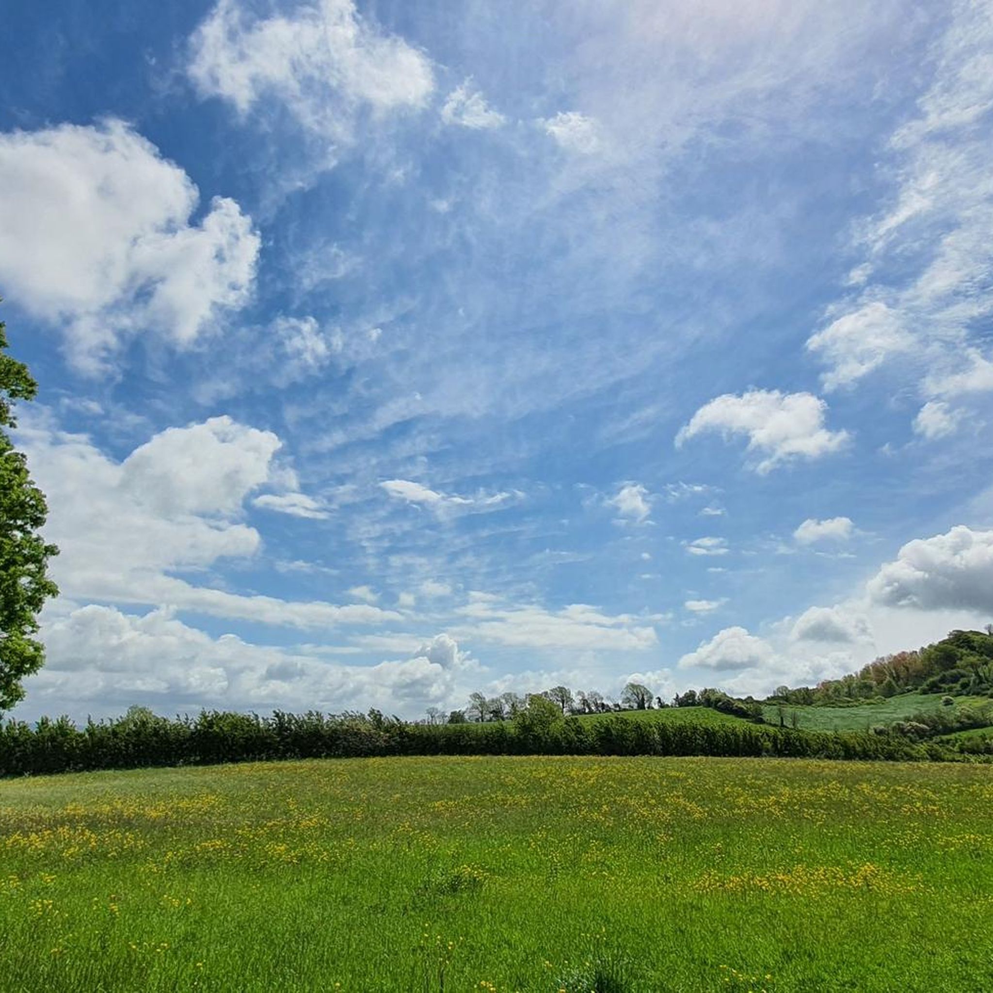
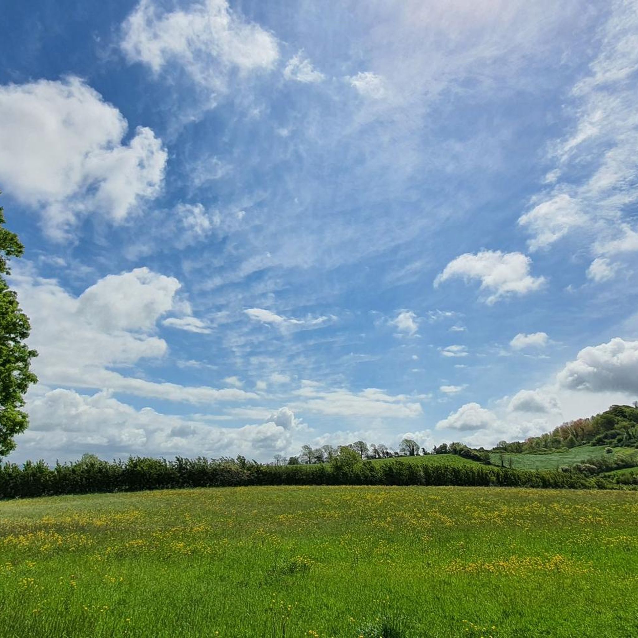
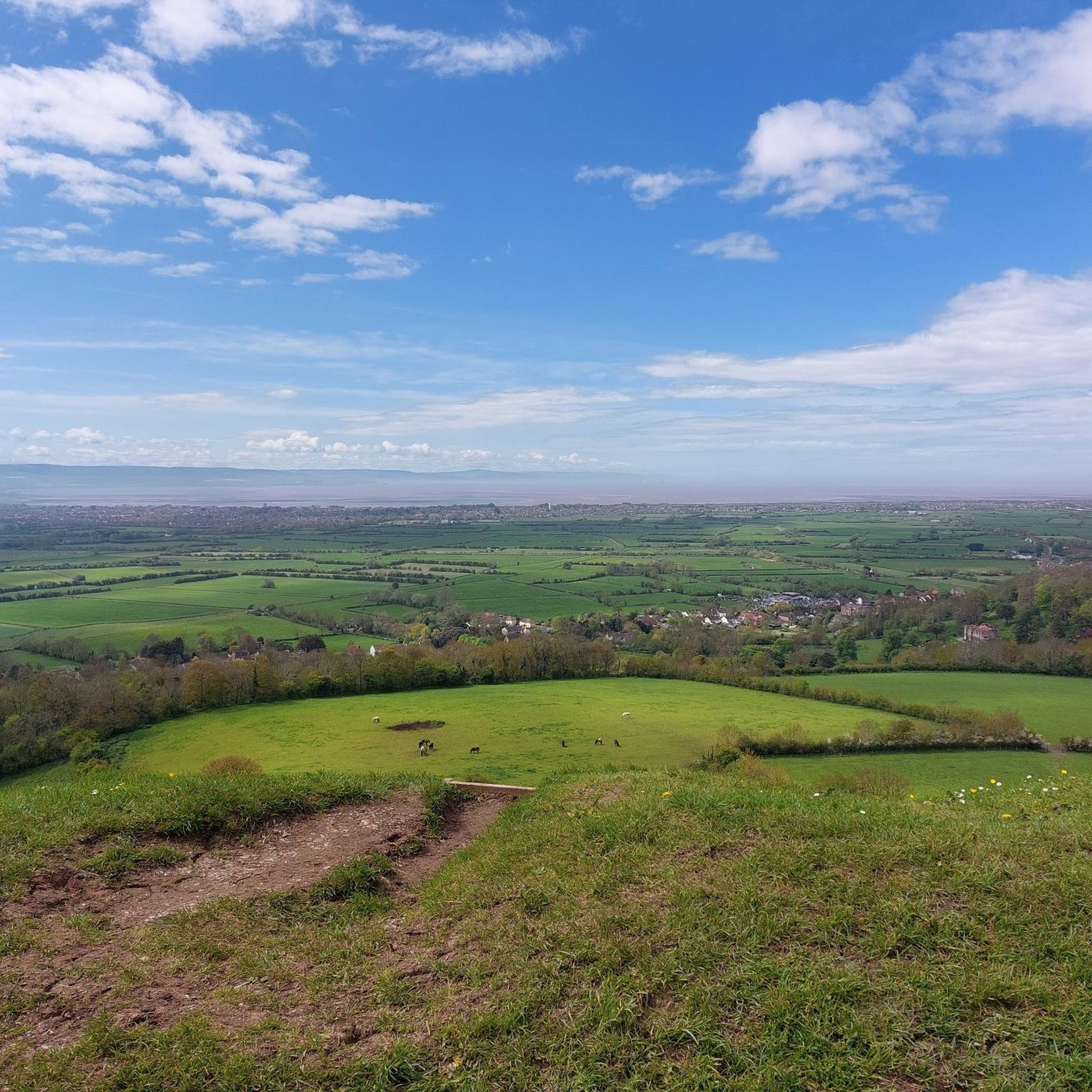
Sticking out from the end from the ridge of rock that runs from the Mendips Crook Peak offers views over from Exmoor too Wales. A particularly great ride from Wavering down back along the ridge.
1
0

Stunning views across the plains of Somerset. can see for absolutely miles on a clear day. Don't be fooled in to thinking it's an easy route I have made. It really isn't. Proper footwear and even poles are recommended. Bring waterproofs as back up shelter, as there are not many places out of the gorge to shelter. Download the route to device also, there is no phone coverage the further in to the gorge you go.
0
0

Excellent summit, run from either the car park below or over the ridge from Weavering Down. The top is rocky with great views over towards the Mendips, out to Weston Super Mare and the sea and down the M5.
0
0


This is a challenging 5 mile (8km) route along paths. Several stiles and kissing gates, rough walking in sections and some steep climbs. It is not advisable to attempt this walk in foggy or very windy weather. Good footwear and fitness is required. Safety in Cheddar Gorge: Please do not stand under cliffs as small rocks may fall at any time. Use only footpaths signed for the gorge walk at the top and bottom of Cheddar Gorge – it is dangerous to depart from these paths. Find the Mendip Hills AONB walking route here https://www.mendiphillsaonb.org.uk/wp-content/uploads/2020/01/121201-Mendip-Hills-Cheddar-Gorge.pdf
1
0
Wavering Down is a part if the large area adjoining to Crook Peak which is a geological and biological Site of Special Scientific Interest near the western end of the Mendip Hills Area of Outstanding Natural Beauty in Somerset. As part of the nature reserve management there are wild ponies and sheep grazing to protect the rare plants and flowers that the grassland supports. It is important to keep your dog under close control and on a lead at all times on Wavering Down and Crook Peak. Most of the site is owned by the National Trust who bought 725 acres (293 ha) in 1985, and much of it has been designated as common land. It was notified as an SSSI by Natural England in 1952. The ecology of the area includes ancient woodland and calcareous grassland which supports nationally rare species including the Cheddar pink. The underlying rocks are Carboniferous Limestone containing phreatic caves at Shute Shelve Cavern and Picken's Hole from which fossils dating from the Middle Devensian have been recovered.
3
2
이스트 브렌트 주변에서 가장 인기 있는 명소


더 살펴보기
이스트 브렌트 주변의 최고의 동굴을 찾기 위해 이 가이드를 확인해보세요:
