미들조이에서 가장 멋진 3개의 천연기념물
천연기념물을 방문하여 미들조이의 아름다운 풍경을 만나보세요. 미들조이에 있는 3
개의 천연기념물과 상세 정보를 살펴본 후에 방문하고 싶은 천연기념물을 다음 모험 계획에 추가해보세요!
마지막 업데이트: 10월 16, 2026
Burrow Mump
하이라이트 • 종교적 장소
팁에 의해

Walton Hill
하이라이트 • 전망대
팁에 의해
이런 장소를 발견하려면 지금 가입하세요
최고의 싱글 트랙, 봉우리 및 다양한 흥미로운 야외 장소에 대한 추천을 받아보세요.
던던 비콘 자연 보호구역
하이라이트 • 자연 기념물
팁에 의해

파렛 강에서 야외 수영하기
하이라이트 • 강
팁에 의해

오늘 무료 계정으로 시작하세요
다음 모험이 기다리고 있어요.



커뮤니티 팁

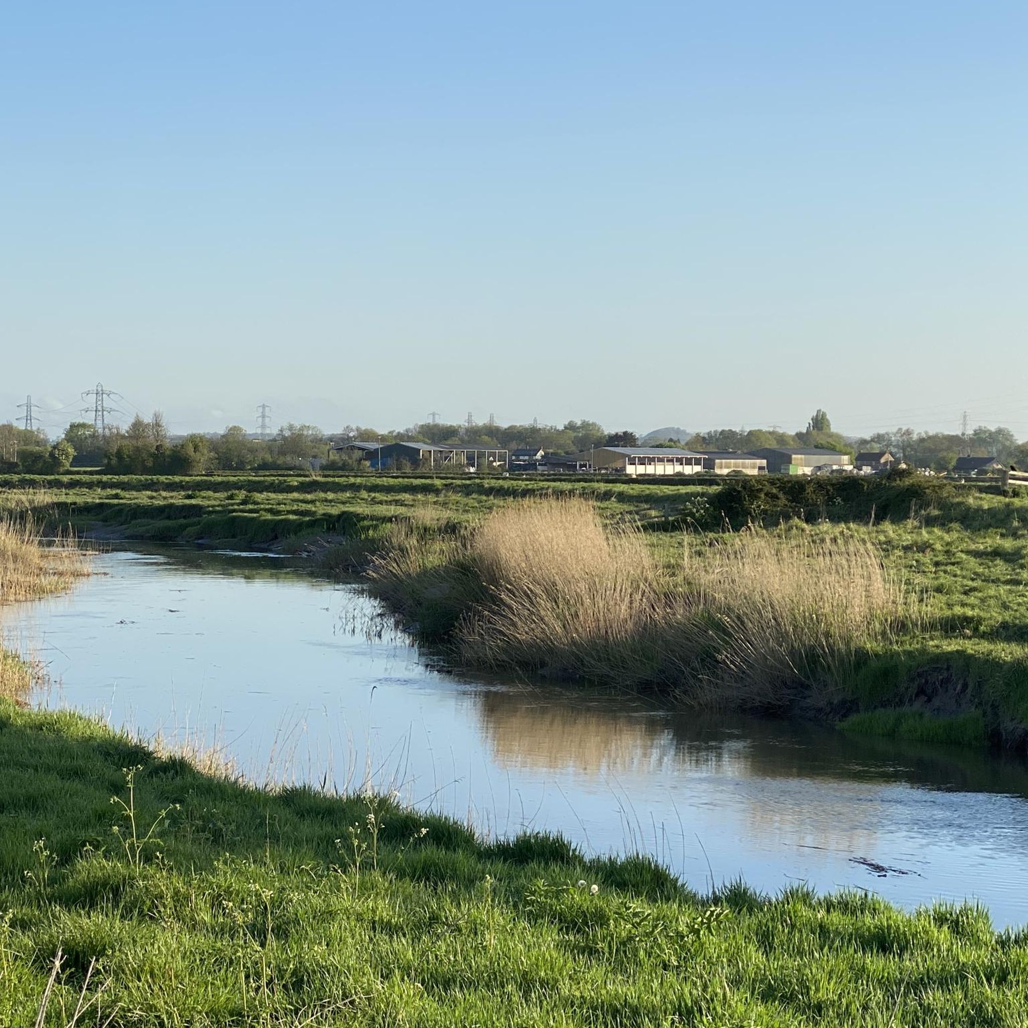
Dip your feet or go all in for some wild swimming in the River Parrett. There are small jetties near the riverside path.
0
0
Dip your feet or go all in for some wild swimming in the River Parrett. There are jetties along the riverside path.
0
0

Dundon Hill or Dundon Beacon is a Iron Age hill fort and nature haven. Managed by the Somerset Wildlife Trust this small area of higher land is ringed by ancient oak woodland and capped with a meadow. The views from the southern end of the plateau are far reaching across the levels where you get a gap in the trees.
0
0

A Site of Special Scientific Interest and owned by the National Trust, Walton Hill was quarried in the middle ages and is now a thriving habitat for butterflies and other plants and wildlife. The hill rises above the relatively flat landscape with a summit at 269 feet (82 m) that offers excellent views. At the western end stands an old windmill, now a private residence.
0
0
Rising above the village of Burrowbridge, this wonderfully named hill is a scheduled monument and is home to a Grade I listed ruined church on its summit. At 79 feet (24 m) high, it stands out from the flat land around and can be seen easily from the River Parrett Trail which passes by. Thanks to the Somerset Levels winter floods, Burrow Mump becomes somewhat of an island, like its cousin, Glastonbury Tor. A Norman motte and bailey castle was originally constructed here, but the only structure that remains is the impressive medieval church.
1
0
미들조이 주변에서 가장 인기 있는 명소


더 살펴보기
미들조이 주변의 최고의 동굴을 찾기 위해 이 가이드를 확인해보세요:
