경로

플래너

기능

업데이트

App

로그인 또는 가입

앱 다운로드

로그인 또는 가입

경로
Places to see
Natural Monuments
영국
영국
사우스 웨스트 잉글랜드
공중제비
세지무어 지구

채플 앨러튼

채플 앨러튼‬에서 가장 멋진 ‪13‬개의 천연기념물


천연기념물을 방문하여 채플 앨러튼의 아름다운 풍경을 만나보세요. 채플 앨러튼에 있는 13
개의 천연기념물과 상세 정보를 살펴본 후에 방문하고 싶은 천연기념물을 다음 모험 계획에 추가해보세요!

마지막 업데이트: 7월 13, 2026

체더 협곡 오르막

하이라이트 (구간) • 등반

Totally achievable iconic climb. The whole thing is about 10km but it’s only steep for the first 1.5km or so. There is one really nasty steep hairpin but once you’re …

에 의해

라이딩 보기

휴대폰으로 전송

저장

체더 협곡

하이라이트 • 협곡

This is a challenging 5 mile (8km) route along paths. Several stiles and kissing gates, rough walking in sections and some steep climbs. It is not advisable to attempt this …

에 의해

저장

이런 장소를 발견하려면 지금 가입하세요

최고의 싱글 트랙, 봉우리 및 다양한 흥미로운 야외 장소에 대한 추천을 받아보세요.

무료 회원 가입

Beacon Batch 정상 삼각점

하이라이트 • 전망대

This special site is designated as a Site of Special Scientific interest for its valuable wildlife habitats and is a nationally important site for its archaeology from the late Stone …

에 의해

저장

Black Down is the highest area of the Mendip Hills and affords wonderful views across the Bristol Channel into Wales, over Weston-super-Mare, the Chew Valley, the Quantocks and beyond. There …

에 의해

저장

웨이버링 다운 삼각점

하이라이트 • 자연 기념물

Owned and managed by the National Trust and part of the same SSSI as Crook Peak, Wavering Down is an impressive hill with even more impressive views. There's a trig …

에 의해

저장

무료로 가입하여 채플 앨러튼 주변의 더 많은 자연 기념물을 발견하세요.

무료 회원 가입

이미 komoot 계정이 있나요?

오늘 무료 계정으로 시작하세요

다음 모험이 기다리고 있어요.
로그인 또는 가입하기

채플 앨러튼 주변 인기 장소

채플 앨러튼 하이킹

채플 앨러튼 MTB 트레일

채플 앨러튼 사이클링

채플 앨러튼 로드 사이클링 경로

채플 앨러튼 러닝 트레일

채플 앨러튼 주변 그래블 라이딩

커뮤니티 팁

Malc027
6월 1, 2025, Wavering Down Trig Point

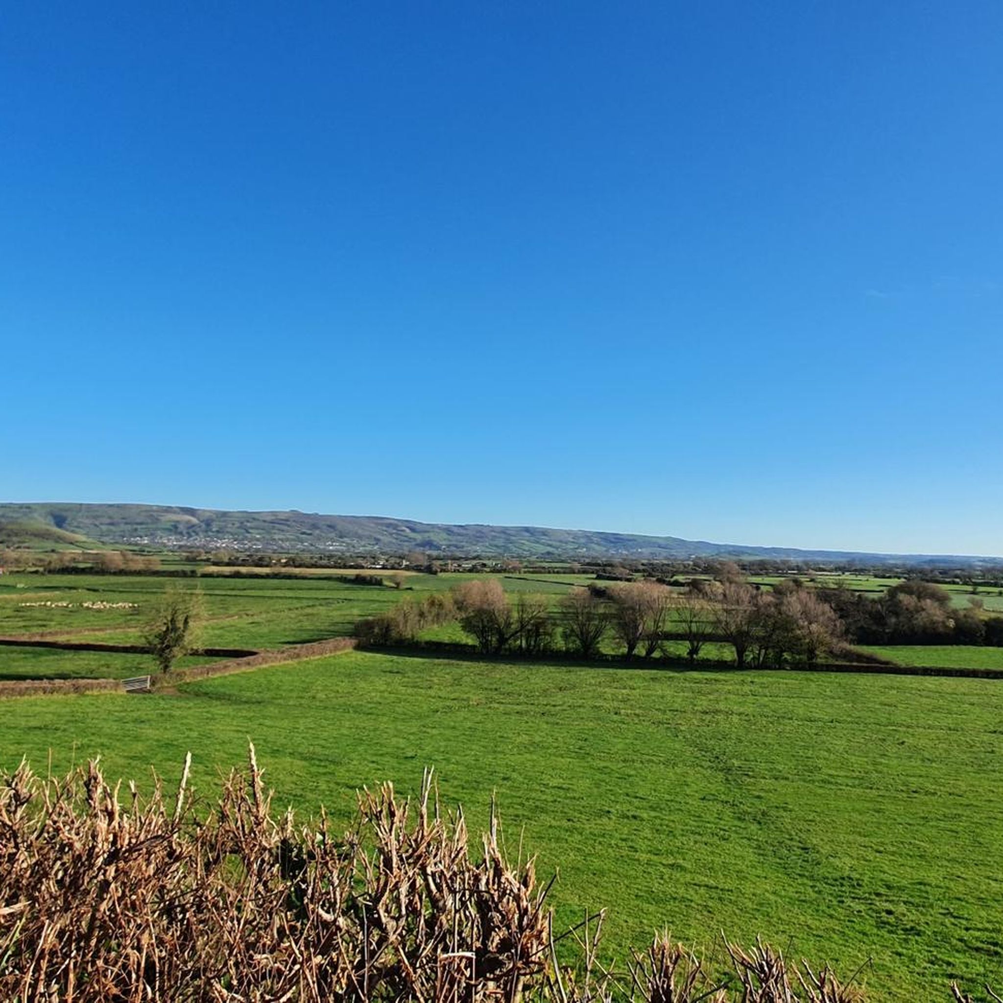
The views across somerset are stunning.

1

0

MCW73
6월 14, 2024, Cheddar Gorge

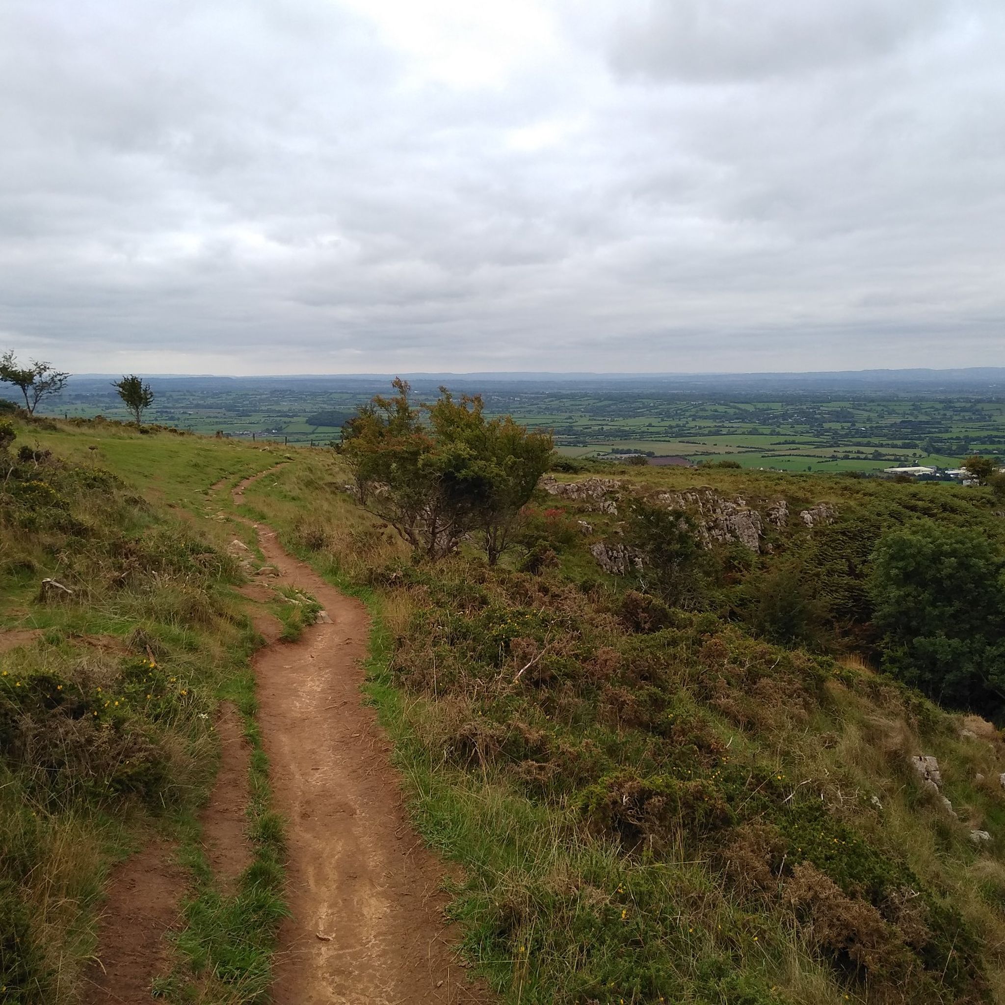
Stunning views across the plains of Somerset. can see for absolutely miles on a clear day. Don't be fooled in to thinking it's an easy route I have made. It really isn't. Proper footwear and even poles are recommended. Bring waterproofs as back up shelter, as there are not many places out of the gorge to shelter. Download the route to device also, there is no phone coverage the further in to the gorge you go.

0

0

Black Down Hill or Beacons Batch is the highest hill in the Mendip Hills at 325m, Somerset, in south-western England. Black Down lies just a few miles eastward of the Bristol Channel at Weston-super-Mare, and provides a view over the Chew Valley. It has a trig pointed summit and is a UK designated Marilyn with a prominence of over 150m.

3

1

This is a challenging 5 mile (8km) route along paths. Several stiles and kissing gates, rough walking in sections and some steep climbs. It is not advisable to attempt this walk in foggy or very windy weather. Good footwear and fitness is required. Safety in Cheddar Gorge: Please do not stand under cliffs as small rocks may fall at any time. Use only footpaths signed for the gorge walk at the top and bottom of Cheddar Gorge – it is dangerous to depart from these paths. Find the Mendip Hills AONB walking route here https://www.mendiphillsaonb.org.uk/wp-content/uploads/2020/01/121201-Mendip-Hills-Cheddar-Gorge.pdf

1

0

Wavering Down is a part if the large area adjoining to Crook Peak which is a geological and biological Site of Special Scientific Interest near the western end of the Mendip Hills Area of Outstanding Natural Beauty in Somerset. As part of the nature reserve management there are wild ponies and sheep grazing to protect the rare plants and flowers that the grassland supports. It is important to keep your dog under close control and on a lead at all times on Wavering Down and Crook Peak. Most of the site is owned by the National Trust who bought 725 acres (293 ha) in 1985, and much of it has been designated as common land. It was notified as an SSSI by Natural England in 1952. The ecology of the area includes ancient woodland and calcareous grassland which supports nationally rare species including the Cheddar pink. The underlying rocks are Carboniferous Limestone containing phreatic caves at Shute Shelve Cavern and Picken's Hole from which fossils dating from the Middle Devensian have been recovered.

3

2

This special site is designated as a Site of Special Scientific interest for its valuable wildlife habitats and is a nationally important site for its archaeology from the late Stone Age and Bronze Age through to the Second World War. Black Down provides the largest area of open access on the Mendip Hills at over 400 ha. Black Down, like most heathlands, is formed through a combination of factors– soil type, rainfall and human activity. The underlying Old Red Sandstone rock together with high rainfall created a waterlogged and acidic soil. The removal of tree cover by our Bronze Age ancestors 2,000 years ago helped to make sure that the soil stayed damp and acid. Only certain plants can survive in this type of ground. The key species include heather or ling, bell heather, bilberry, purple moor grass and European gorse, along with mosses and lichens. Now the bracken is managed by harvesting and grazing by cattle and wild ponies to allow the heathers and grasses to flourish again. Black Down supports a wide variety of birds, mammals, reptiles and invertebrates.

3

0

This special site is designated as a Site of Special Scientific interest for its valuable wildlife habitats and is a nationally important site for its archaeology from the late Stone Age and Bronze Age through to the Second World War. Black Down provides the largest area of open access on the Mendip Hills at over 400 ha. Black Down, like most heathlands, is formed through a combination of factors– soil type, rainfall and human activity. The underlying Old Red Sandstone rock together with high rainfall created a waterlogged and acidic soil. The removal of tree cover by our Bronze Age ancestors 2,000 years ago helped to make sure that the soil stayed damp and acid. Only certain plants can survive in this type of ground. The key species include heather or ling, bell heather, bilberry, purple moor grass and European gorse, along with mosses and lichens. Now the bracken is managed by harvesting and grazing by cattle and wild ponies to allow the heathers and grasses to flourish again. Black Down supports a wide variety of birds, mammals, reptiles and invertebrates.

3

1

Owned and managed by the National Trust and part of the same SSSI as Crook Peak, Wavering Down is an impressive hill with even more impressive views. There's a trig point at the summit and the views include a glimpse of Cheddar reservoir. Half the down is open common land whilst the other half is fields.

4

0

채플 앨러튼 주변에서 가장 인기 있는 경로

채플 앨러튼 하이킹

채플 앨러튼 주변에서 가장 인기 있는 명소

Places to see

Store rating

komoot 모바일 앱으로 영감을 받아보세요

무료 komoot 계정로 끝없는 야외 모험을 손쉽게 찾고, 맞춤 설정하며 길안내할 수 있어요.

또는

지금 komoot에 가입하세요

Store rating

더 살펴보기

채플 앨러튼 주변의 최고의 동굴을 찾기 위해 이 가이드를 확인해보세요:

쉽햄액스브리지콤프턴 비숍우리는웨드모어배그워스체더 치즈이스트 브렌트스토위보다Quantock Hills Aonb피딩턴네더 스토위스팍스톤표시오터햄프턴캐닝턴브룸필드노스 페더턴고트서스트엔모어샵윅덜리애쉬콧스톡랜드 브리스톨베로우설록스톤그린턴브린브렌트 놀림프샴번햄 없이무어린치미들조이

근처 어드벤처 가이드

우리는 즐길거리

background

새로운 정복을 위한 준비를 하세요

무료로 가입하기

탐험하기
경로경로 플래너기능하이킹MTB 트레일로드 사이클링 경로바이크패킹사이트맵
앱 다운로드
소셜 미디어에서 팔로우하기

© komoot GmbH

개인 정보 보호 정책