라밀리에서 가장 멋진 11개의 천연기념물
천연기념물을 방문하여 라밀리의 아름다운 풍경을 만나보세요. 라밀리에 있는 11
개의 천연기념물과 상세 정보를 살펴본 후에 방문하고 싶은 천연기념물을 다음 모험 계획에 추가해보세요!
마지막 업데이트: 10월 15, 2026


이런 장소를 발견하려면 지금 가입하세요
최고의 싱글 트랙, 봉우리 및 다양한 흥미로운 야외 장소에 대한 추천을 받아보세요.
Via Longa (홀레 베그 하스펜하우)
하이라이트 • 트레일
번역자 Google •
팁에 의해

셉 폰텐 자연 보호구역
하이라이트 • 자연 기념물
Today there is a water pumping station and watercress beds are still in use.
번역자 Google •
팁에 의해
오늘 무료 계정으로 시작하세요
다음 모험이 기다리고 있어요.

커뮤니티 팁

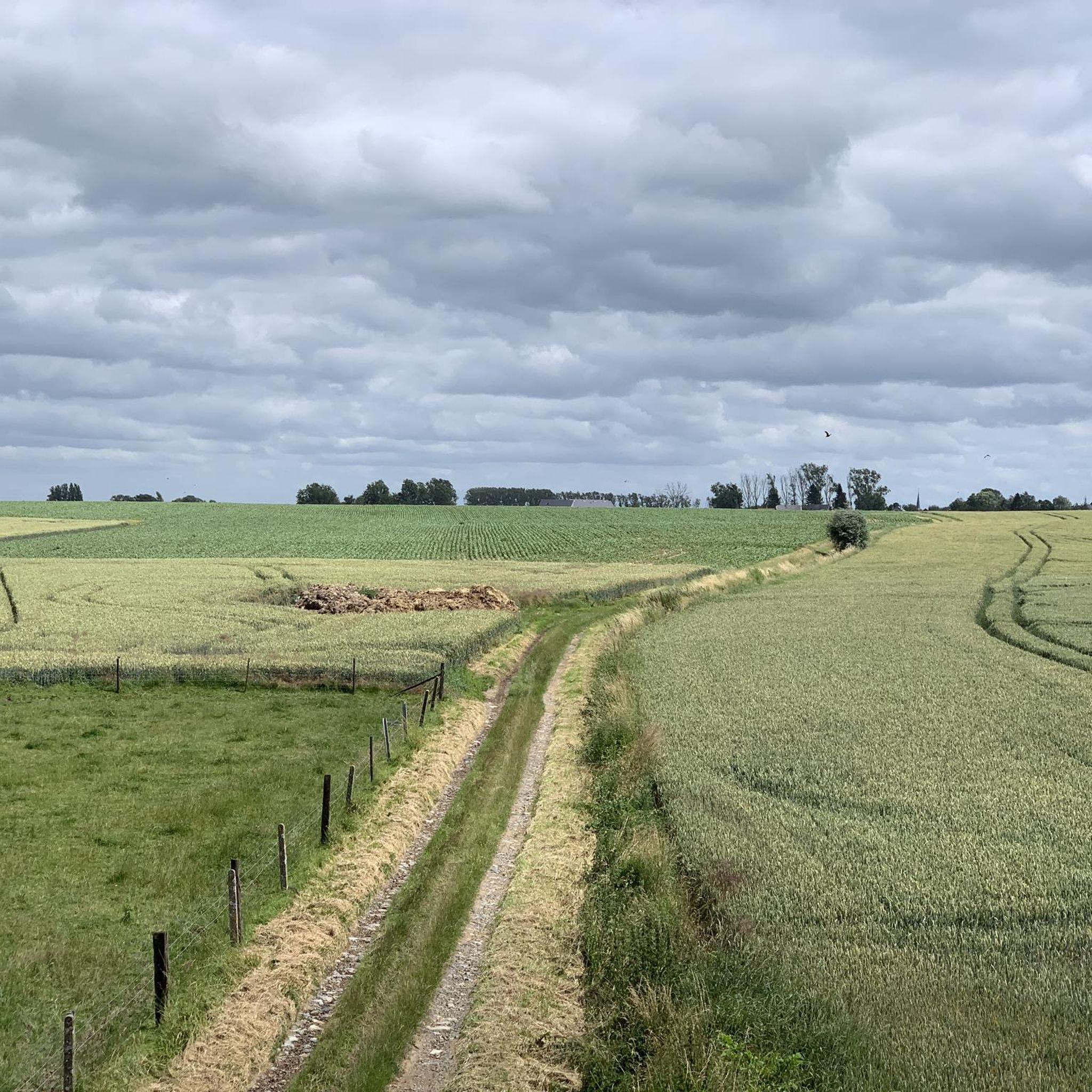
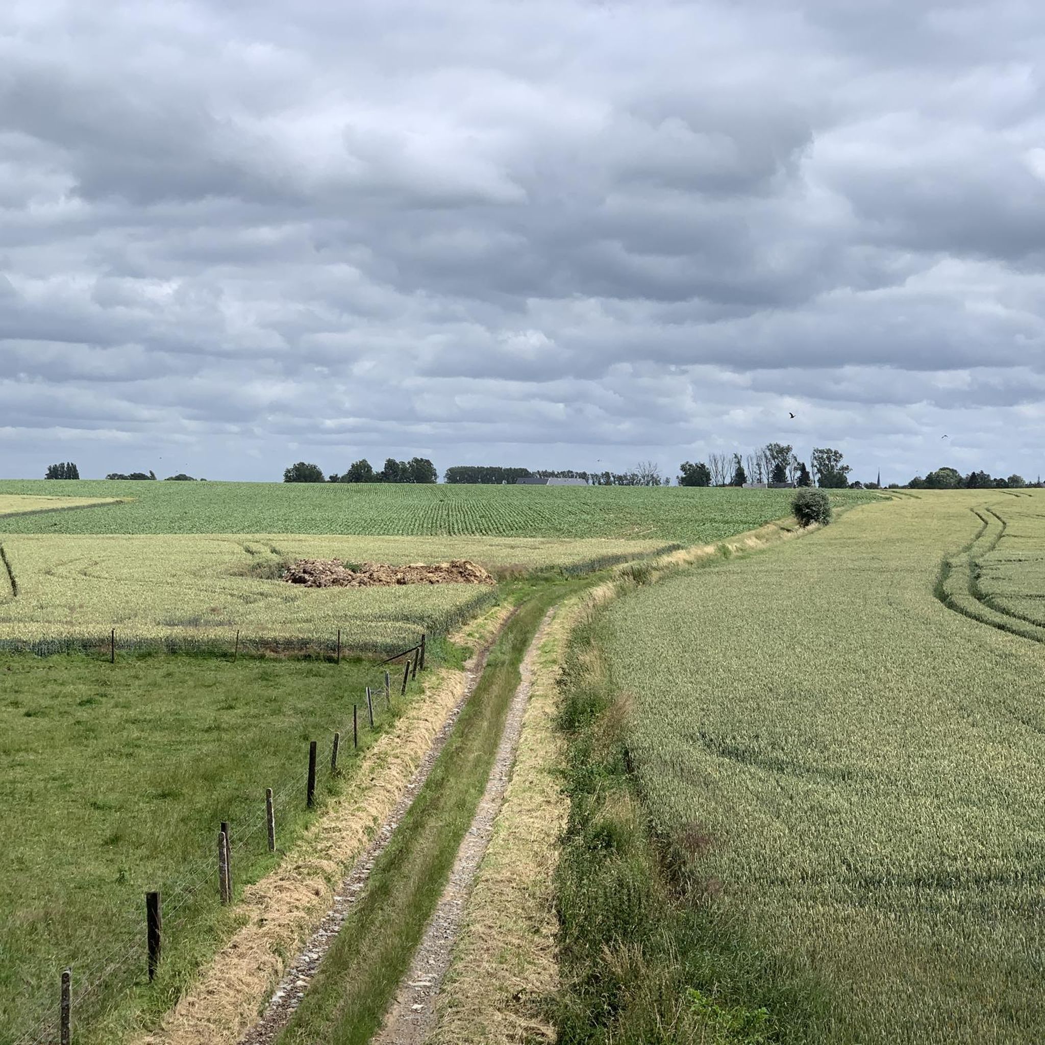
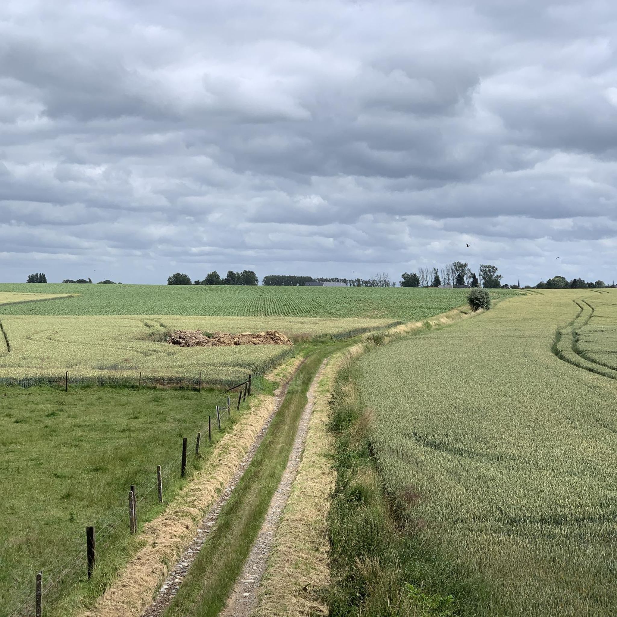
좁은 움푹 들어간 길임은 확실합니다. 하지만 무엇보다도, 움푹 들어간 길에서 흔히 볼 수 있는 포유류와 온갖 종류의 굴 입구와 흔적들이 많이 보이는 이곳을 좋아하는 많은 생명체들에게 특별한 움푹 들어간 길입니다. 즐거움. 그리고 전형적인 Rosdel.
6
0
호에가르덴(그리고 이곳과 같은 지역)의 많은 움푹 들어간 길들은 풍경 속의 귀중한 선을 형성합니다. 이러한 선형 풍경 요소의 보존은 첫 번째 토지 구획 계획에서 크게 논의되었습니다. 목표 지향적인 조치를 통해 Natuurpunt은 포장되지 않은 여러 농로를 보존할 수 있었습니다. 이 녹색 복도는 황새치와 종달새의 서식지입니다. 그리고 당신은 그것을 즐깁니다. 출처: https://www.natuurpunt.be/natuurgebieden/rosdel
6
0
The Henri Fontaine stream rises between Cras-Avernas and Bertrée, then irrigates several villages in the commune of Hannut before crossing the reserve at Grand-Hallet. Its source has long been linked to watercress cultivation, which requires good quality water.
6
0
This marshy area of 21 hectares was already inhabited in prehistoric times and buildings were built in Roman times. Today there is a water pumping station and watercress beds are still in use. The area includes part of the valley of the Henri-Fontaine stream with flora that can no longer be found in the rest of the area. Damp meadows, dense reed land and tall perennial herbaceous plants of 1.5 to 2 meters high, located in alluvial zones on non-acidic and fairly moist soil with pieces of forest with trees that do well on wet soils, such as alders: these are remnants of the typical wet valleys that you often saw before agriculture became increasingly intensive. You cannot enter the nature reserve itself but you can see it quite well and at a certain point (if you follow the path next to it) you come to a beautiful piece of alluvial forest with the stream. Be sure to also walk to the Moulin Dardenne, which is located on the edge of the area on another road and location with the nature reserve behind it and streams that come out of the nature reserve. This is also the start of the path along the nature reserve. On the other side you will also find a start of the path - with information board - at a junction with the Rue du Condroz in Grand-Hallet. You will find it just before the bend behind which the Dardenne watermill is located. Turn left, it rises a little and then you are on the path. More on https://www.hannut.be/wp-content/uploads/2021/06/brochure-7-fontaines-nl.pdf where you will find a full description of a 'seven-sources walk' that of course runs along the nature reserve and many sights around it.
6
0
This path, which you reach after a short, steep climb from the stream, leads you along an inaccessible nature reserve, where you literally walk above an old quarry and caves for a part. At a certain point you literally walk above the entrance to that underground quarry that you can also see below. Part of the path runs between the edge of the valley and fields and on another part you have the nature reserve instead of the fields that was given the name 'Réserve naturelle Natagora des Caves Paheau'. Natagora is the counterpart of Natuurpunt and the quarry and caves are therefore called the 'caves Paheau'.
5
0


A sunken road is a road that is so deeply worn that it lies between two slopes. It is the result of centuries of use and erosion. The most beautiful sunken roads can be found especially in hilly areas with a subsoil that easily forms steep walls, such as in Haspengouw and Hageland.
3
0
라밀리 주변에서 가장 인기 있는 명소


더 살펴보기
라밀리 주변의 최고의 동굴을 찾기 위해 이 가이드를 확인해보세요:
