경로

플래너

기능

업데이트

App

로그인 또는 가입

앱 다운로드

로그인 또는 가입

경로
Places to see
Mountain passes
이탈리아
베네토
벨루노

치에스 달파고

치에스 달파고‬에서 가장 멋진 ‪15‬개의 산길

치에스 달파고에서 가장 멋진 산길을 아래에서 살펴보세요. 풍경을 감상하기에도 좋고, 오르막길/내리막길을 따라 걷기에도 좋은 곳이랍니다. 커뮤니티가 특별 도움을 통해 공유한 콘텐츠인 만큼 믿을 수 있는 정보이니 마음에 드는 산길이 있다면 바로 다음 모험 계획에 추가해서 바로 방문해보세요.

마지막 업데이트: 7월 12, 2026

파달토 고개

하이라이트 • 산악 고개

The saddle of Fadalto is an alpine pass formed following landslides dating back to the last ice age. The pass separates the Alpago area to the north with the Lapisina …

번역자 Google •

에 의해

라이딩 보기

휴대폰으로 전송

저장

Forcella Val Grande

하이라이트 • 산악 고개

The Val Grande fork is located at 1,926 meters above sea level and separates the Val Grande peak from Mount Lastè in the Cavallo di Pordenone group.

From here you …

번역자 Google •

에 의해

저장

이런 장소를 발견하려면 지금 가입하세요

최고의 싱글 트랙, 봉우리 및 다양한 흥미로운 야외 장소에 대한 추천을 받아보세요.

무료 회원 가입

사우크 고개

하이라이트 • 산악 고개

A saddle that well represents the Piancavallo basin, immersed in the greenery of a respectable forest; on one side the hut on the other the town

번역자 Google •

에 의해

저장

콜 델 로보

하이라이트 • 산악 고개

Great area and few bikers

번역자 Google •

에 의해

저장

a panoramic glimpse from the piedmont road between S. Martino and Rif. Carota, at the foot of M. Teverone: the saddle of Passo Fadalto in the centre, with on the …

번역자 Google •

에 의해

저장

무료로 가입하여 치에스 달파고 주변의 더 많은 산악 고개를 발견하세요.

무료 회원 가입

이미 komoot 계정이 있나요?

오늘 무료 계정으로 시작하세요

다음 모험이 기다리고 있어요.
로그인 또는 가입하기

치에스 달파고 주변 인기 장소

이탈리아 파레 산맥의 동화 같은 하이킹 - 알타 비아 델레 돌로미티 7

포리모드 일스타일 오한다 - Alta Via 6

치에스 달파고 하이킹

치에스 달파고 로드 사이클링 경로

치에스 달파고 주변 그래블 라이딩

치에스 달파고 사이클링

치에스 달파고 러닝 트레일

치에스 달파고 MTB 트레일

치에스 달파고 등산

치에스 달파고 주변의 다른 모험

이탈리아 파레 산맥의 동화 같은 하이킹 - 알타 비아 델레 돌로미티 7

하이킹 컬렉션 에 의해

Martina T.🎈

커뮤니티 팁

Sigi/Wildspitz🇨🇭🇮🇹🇨🇵🇬🇷🇪🇦🇭🇷
12월 22, 2024, Col del Lovo

Winter biking is also possible in Piancavallo

번역: Google

0

0

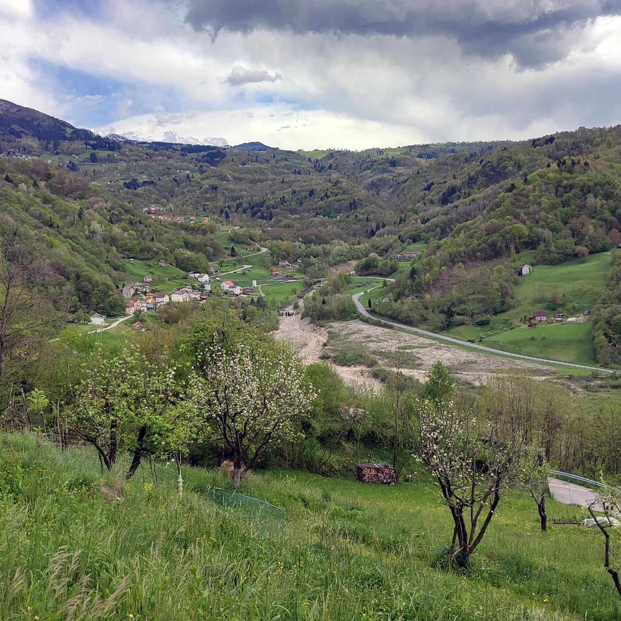
The Sauc saddle divides Mount Sauc from Col Cornier and opens up the panorama over the plain and Piancavallo.

번역: Google

0

0

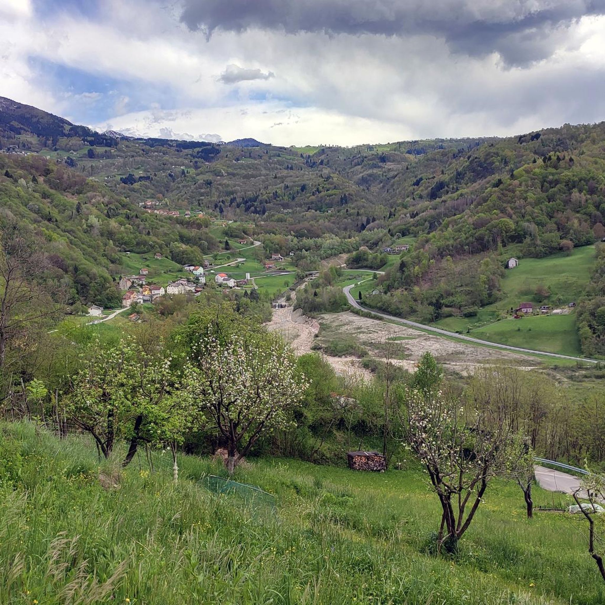
The Fadalto saddle is a pre-Alpine pass that connects Val Lapisina to Alpago, between the provinces of Treviso and Belluno. The pass is narrow between Mount Faverghera on one side and the slopes that border the Cansiglio on the other. The saddle was formed by multiple landslide events that affected its eastern side. The accumulation of material in the valley floor led to the formation of a barrier that interrupted the course of the Piave and formed two barrier basins, Lake Santa Croce on the Belluno side and Lake Morto in the Treviso area. Studies carried out on organic material found in the area have allowed us to place the first events at the end of the last ice age, when with the retreat of the great Piave glacier the counterthrust that supported the rocky walls disappeared. The landslide is still active: on the eastern flank there is still a large detachment niche, approximately 5 km long and 400 m high, subject to periodic collapses. The last one, still clearly visible, dates back to 2017. Until 1995, the year the A27 motorway was built, the Alemagna state road 51 which passes right here was the only connection between the Treviso foothills and Valbelluna.

번역: Google

2

1

Relatively heavy car traffic, many motorbikes, very few trucks, noisy, rather gentle climb

번역: Google

1

2

Traveling alone is simply beautiful

번역: Google

1

0

beautiful naturalistic road Piancavallo

번역: Google

0

0

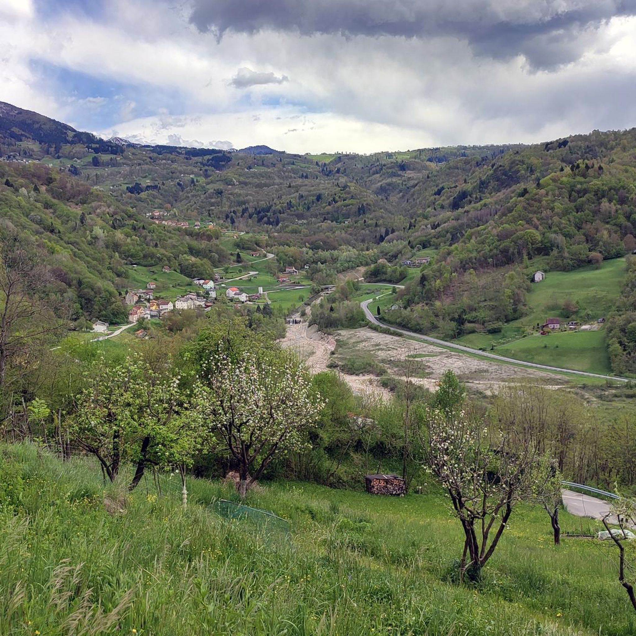
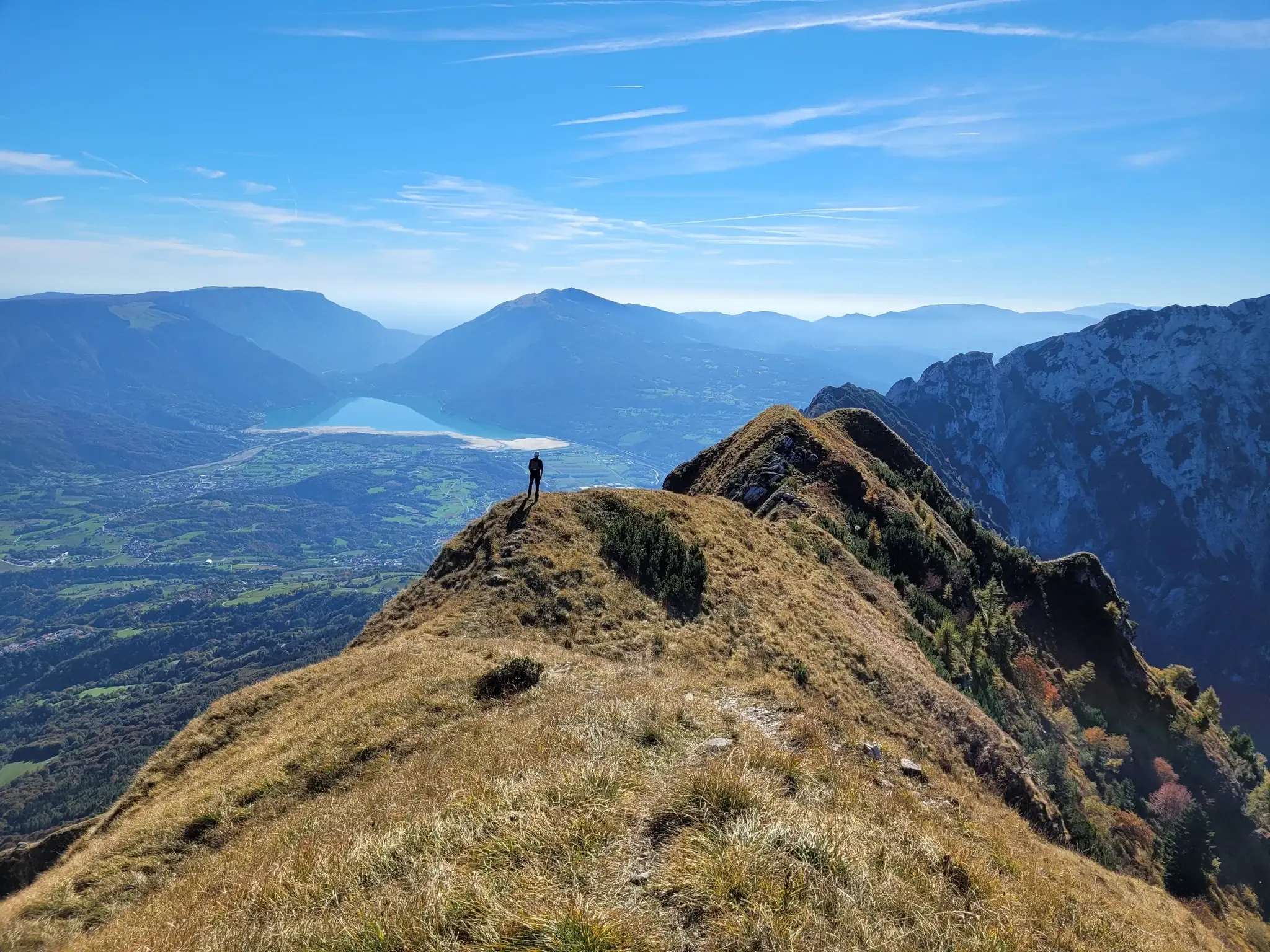
The Val Grande fork is located at 1,926 meters above sea level and separates the Val Grande peak from Mount Lastè in the Cavallo di Pordenone group. From here you can enjoy a 360° panorama. Towards the west, in fact, you can admire the mountain range of the Venetian-Belluno Alps, towards the south the Piancavallo group is clearly recognisable, and for the remaining part, on clear days, you can see a good part of the Julian Alps all the way to the sea.

번역: Google

2

0

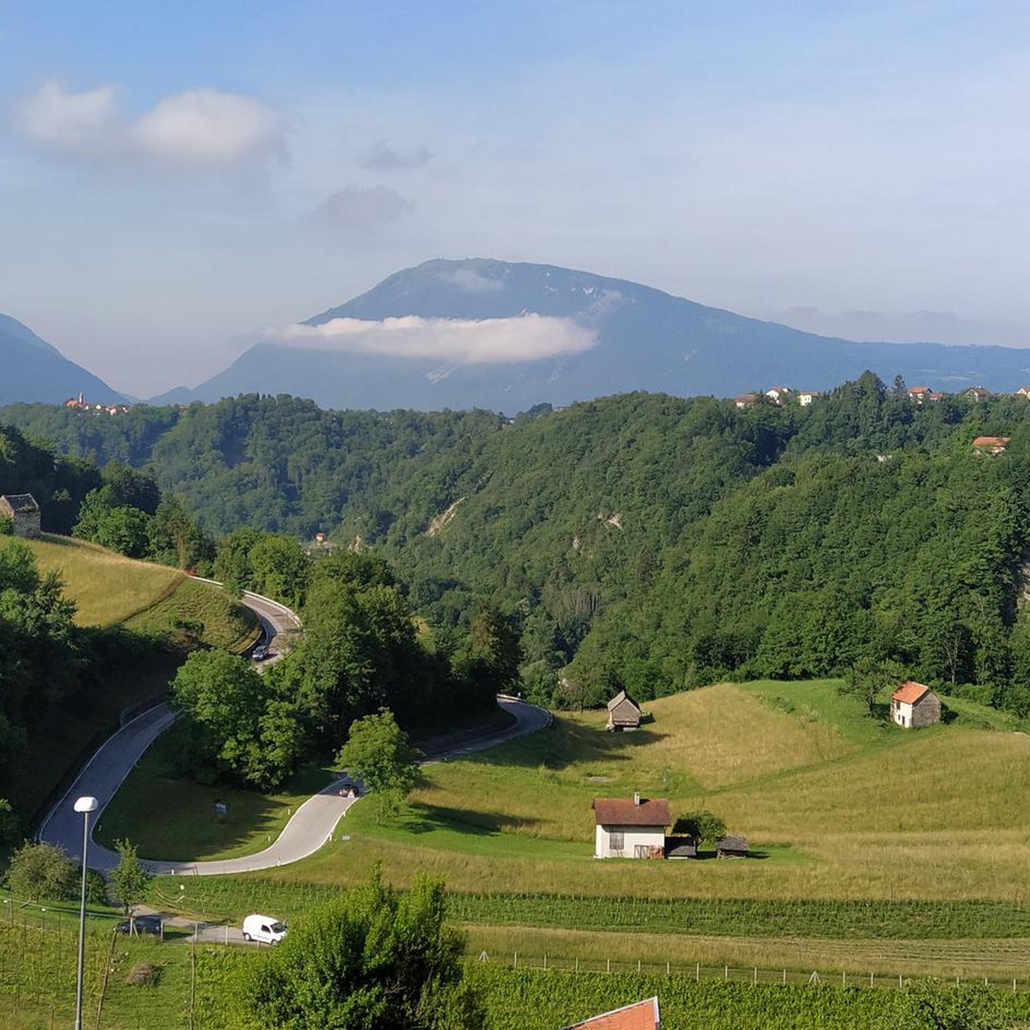
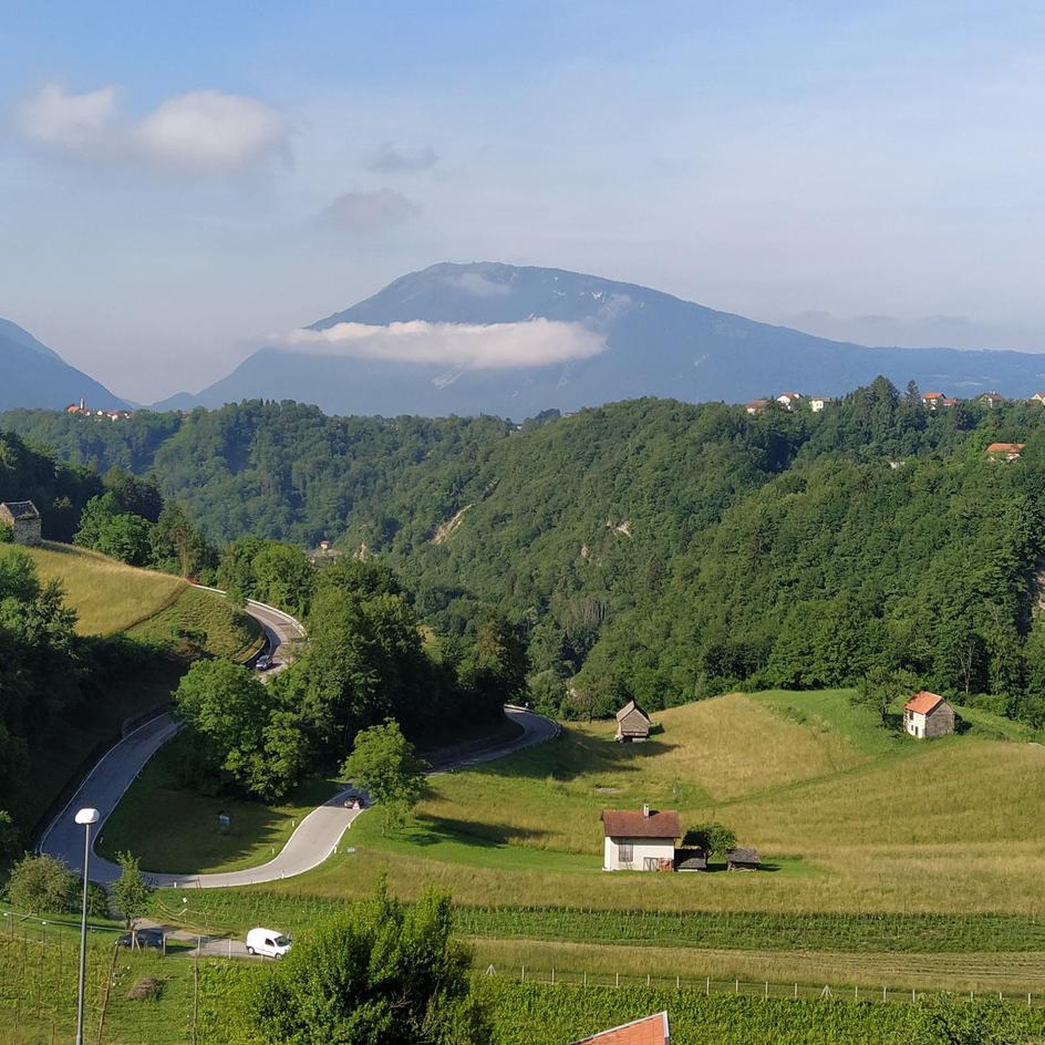
a panoramic glimpse from the piedmont road between S. Martino and Rif. Carota, at the foot of M. Teverone: the saddle of Passo Fadalto in the centre, with on the right. Mount Faverghera, on the left. the Cansiglio plateau and the lake of S. Croce. From this perspective, it is easy to understand how the massive prehistoric landslide of M. Millifret was able to divert the course of the Piave river towards Valbelluna, which in ancient times flowed in Val Lapisina through the Fadalto, determining the formation of the lake of S. Croce

번역: Google

0

0

치에스 달파고 주변에서 가장 인기 있는 경로

치에스 달파고 하이킹

치에스 달파고 주변에서 가장 인기 있는 명소

Places to see

Store rating

komoot 모바일 앱으로 영감을 받아보세요

무료 komoot 계정로 끝없는 야외 모험을 손쉽게 찾고, 맞춤 설정하며 길안내할 수 있어요.

또는

지금 komoot에 가입하세요

Store rating

더 살펴보기

이 가이드를 통해 더 많은 장대한 산악 통과를 확인해보세요 치에스 달파고 주변:

리비날롱고 델 콜 디 라나로카 피에토레코르티나 담페초팔케이드콜레 산타 루시아산 비토 디 카도레카날레 다고르도알레게타이본 아고르디노셀바 디 카도레아우론조 디 카도레발라다 아고디나발 디 졸도산 토마소 아고디노보르카 디 카도레보다 디 카도레조페 디 카도레센세니 아고디노코멜리코 슈페리어아고르도세디코트리키아나리마나산 니콜로 디 코멜리코칼랄조 디 카도레라 발레 아고디나렌티아이볼타고 아고디노산 피에트로 디 카도레라몬피에베 디 카도레아르시에세시오마조레고살도산토 스테파노 디 카도레소브라몬테리바몬테 아고르디노비고 디 카도레소스피롤로세렌 델 그라파알파고폰자소알라노 디 피아베로렌자고 디 카도레도메게 디 카도레발레 디 카도레펠트르사파다 - 플로던로조 디 카도레폰테 넬레 알피단타 디 카도레산타 주스티나Parco Naturale Regionale delle Dolomiti d'Ampezzo탐브레롱가론케로 바스시비아나 디 카도레벨루노 돌로미티 국립공원페라롤로 디 카도레오스피탈레 디 카도레산 그레고리오 넬레 알피소버젠페다베나

근처 어드벤처 가이드

Foresta Regionale Del Prescudin 즐길거리

background

새로운 정복을 위한 준비를 하세요

무료로 가입하기

탐험하기
경로경로 플래너기능하이킹MTB 트레일로드 사이클링 경로바이크패킹사이트맵
앱 다운로드
소셜 미디어에서 팔로우하기

© komoot GmbH

개인 정보 보호 정책