고살도에서 가장 멋진 18개의 산길
고살도에서 가장 멋진 산길을 아래에서 살펴보세요. 풍경을 감상하기에도 좋고, 오르막길/내리막길을 따라 걷기에도 좋은 곳이랍니다. 커뮤니티가 특별 도움을 통해 공유한 콘텐츠인 만큼 믿을 수 있는 정보이니 마음에 드는 산길이 있다면 바로 다음 모험 계획에 추가해서 바로 방문해보세요.
마지막 업데이트: 10월 13, 2026
Rifugio Casèra Ere
하이라이트 • 산장
번역자 Google •
팁에 의해

포르첼라 아우리네 고개
하이라이트 (구간) • 산악 고개
번역자 Google •
팁에 의해

이런 장소를 발견하려면 지금 가입하세요
최고의 싱글 트랙, 봉우리 및 다양한 흥미로운 야외 장소에 대한 추천을 받아보세요.
아고르도에서 파쏘 두란으로 오르는 길
하이라이트 (구간) • 산악 고개
번역자 Google •
팁에 의해


오늘 무료 계정으로 시작하세요
다음 모험이 기다리고 있어요.

커뮤니티 팁

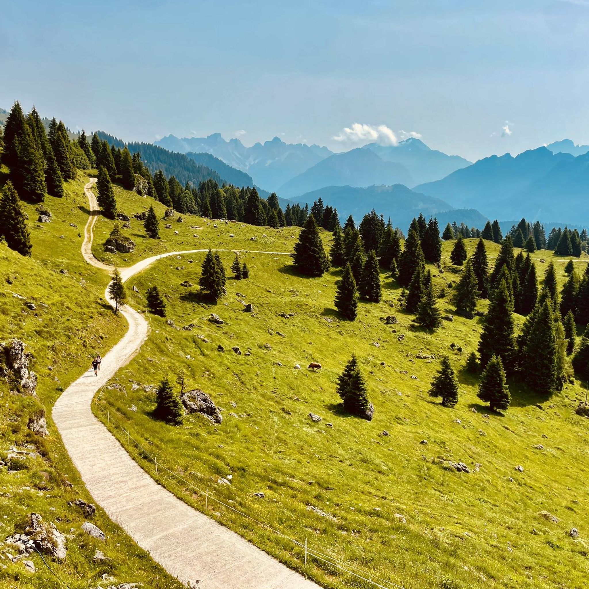
Forcella Aurine 또는 Rifugio Scarpa에서 오는 경우 거의 항상 숲 속으로 이어지는 멋진 길입니다. 오르막은 힘들지만 매우 경치 좋고 노출되지 않습니다. 달의 십자가로 가기로 결정하지 않는 한.
1
0

It can be reached via a comfortable but sometimes very steep road. Stunning views of the Piave Valley.
0
0

This section, which covers the eastern and western slopes of the Cereda Pass along the main road (SS347), is truly spectacular for its views. The climb to the Cereda Pass on the western slope is undoubtedly the toughest, with 7.9 km at an 8.2% gradient and several kilometers above 10%. Its final section, filled with twisters and alpine padrerias, is wonderful. The eastern slope from San Gosaldo has some very steep slopes but is much easier overall. However, if you consider the connection to the Forcella d'Aurine Pass, the climb becomes even more impressive.
0
0
It's a very steady climb and little known among cyclists approaching the Dolomites for the first time. However, it's a completely Dolomite climb, with typical landscapes and the advantage of being less difficult compared to other climbs. The eastern slope is the toughest, starting from the Val Agordina. It's 12.7 km with an average gradient of 5.4%, largely due to a 1 km break 3 km from the summit. If it weren't for this break, the gradient would be constant between 6 and 7%. This climb is closely linked to other climbs nearby: the Cereda Pass and the Forcella Franche Pass. The small valleys between these three climbs are perfect for finding quiet roads where you can discover idyllic places and routes to enjoy in the Bellunesi Dolomites.
0
0
One of the toughest passes in the Dolomites. The numbers on this side are devastating: 12.1 km at an average gradient of 8.2% to overcome an elevation gain of 885 meters. The intermediate section of the pass has a 5 km stretch at an average gradient of 10%. Data provided by @cyclingcols.
0
0

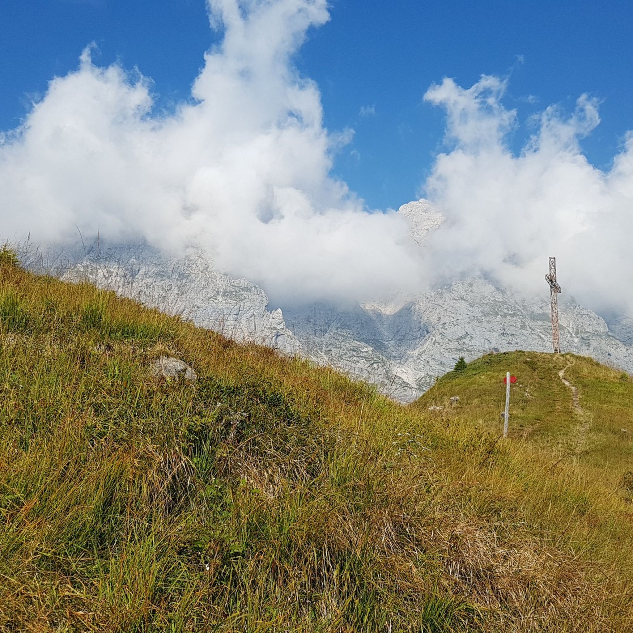
Easily visible from afar thanks to a cross at the summit, Col di Luna is located at an altitude of 1,747 meters and can be reached via paths that climb through the beech forests. From the summit you have a splendid view of the Agordo Valley and peaks such as Civetta and Moiazza.
3
1


고살도 주변에서 가장 인기 있는 명소


더 살펴보기
이 가이드를 통해 더 많은 장대한 산악 통과를 확인해보세요 고살도 주변:
