라구나 산맥 최고의 워킹 & 하이킹 경로
4.8
(519)
5,709
등산객
206
하이킹
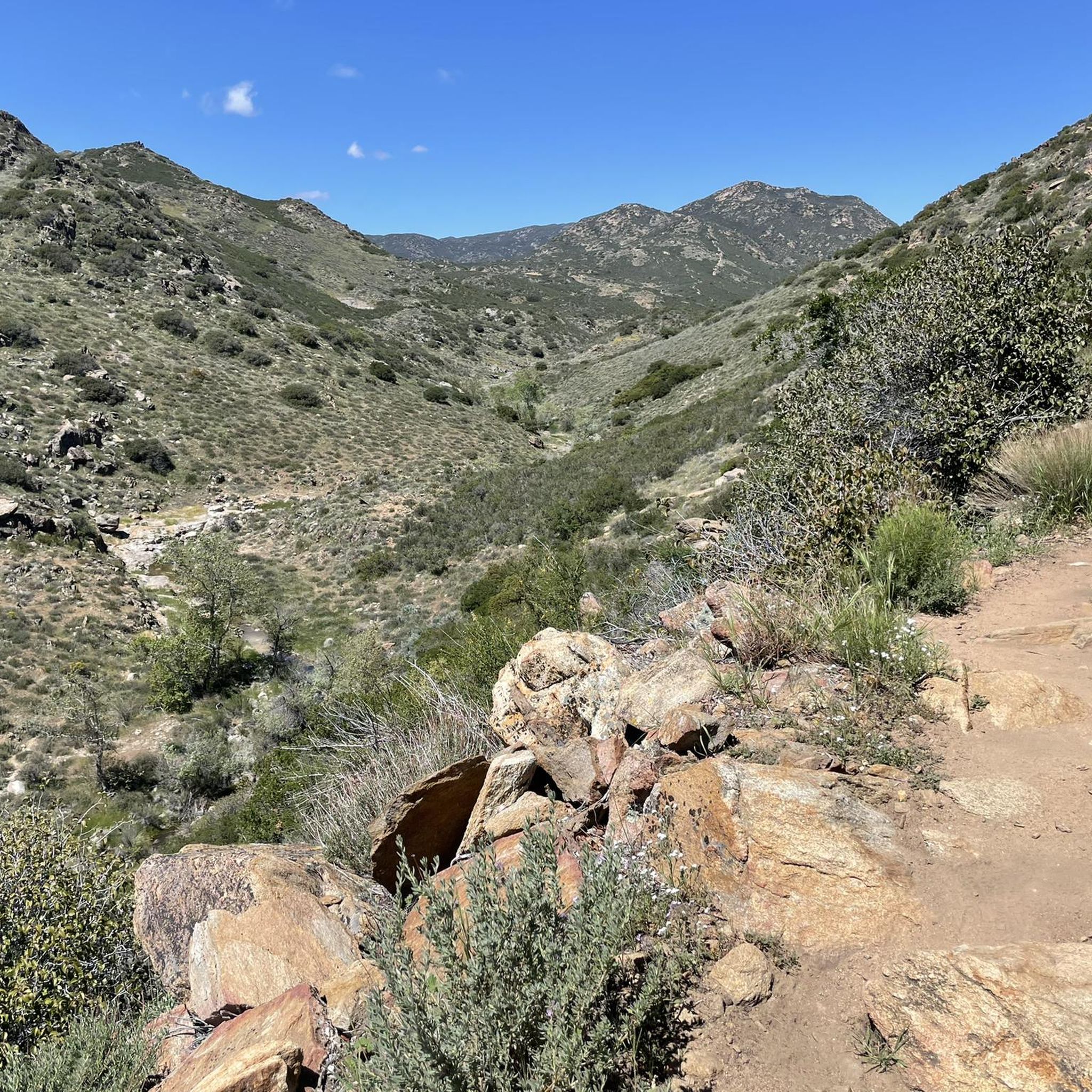
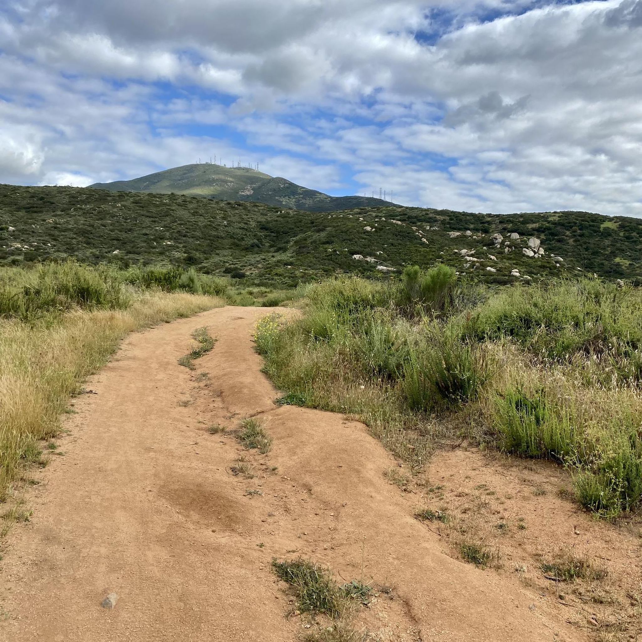
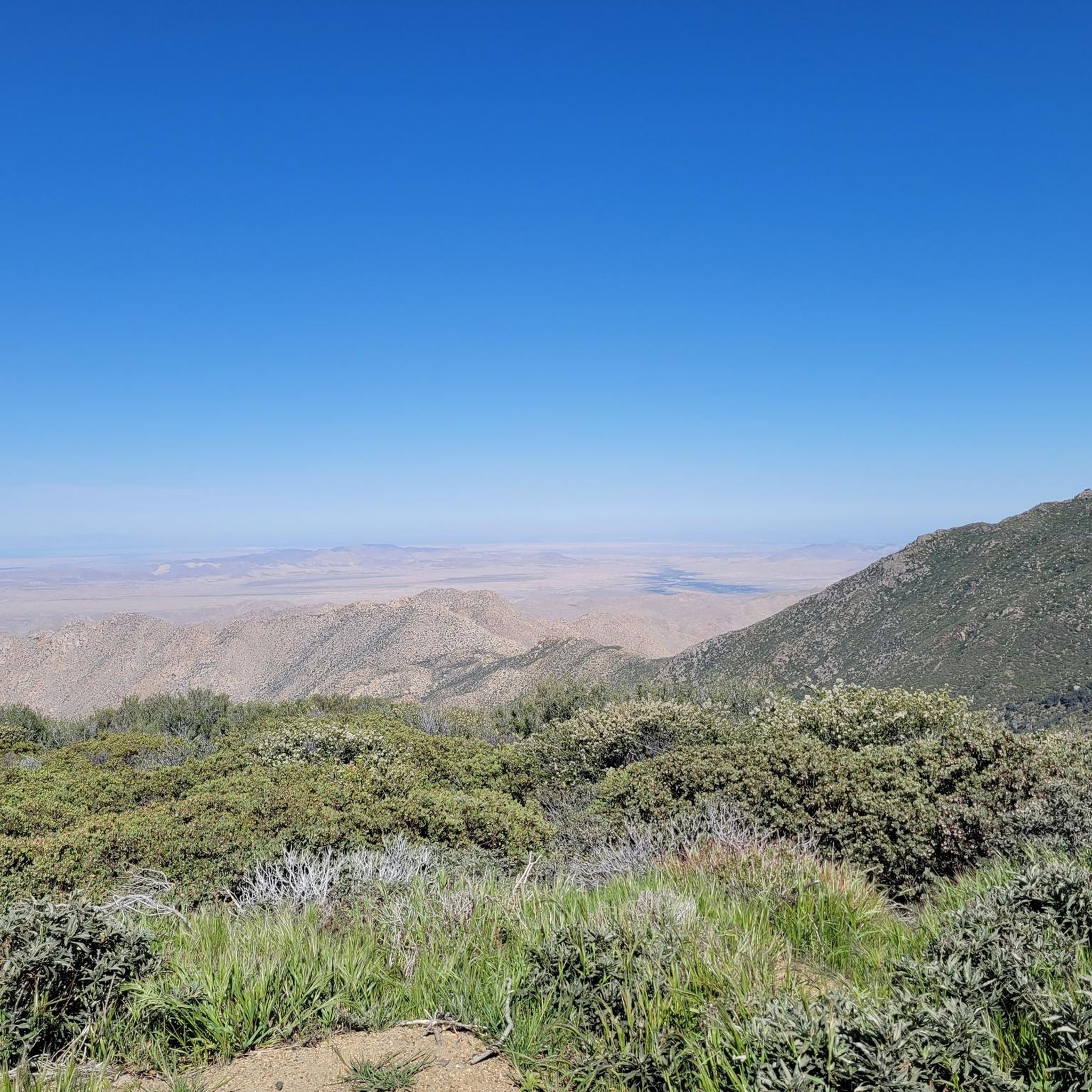
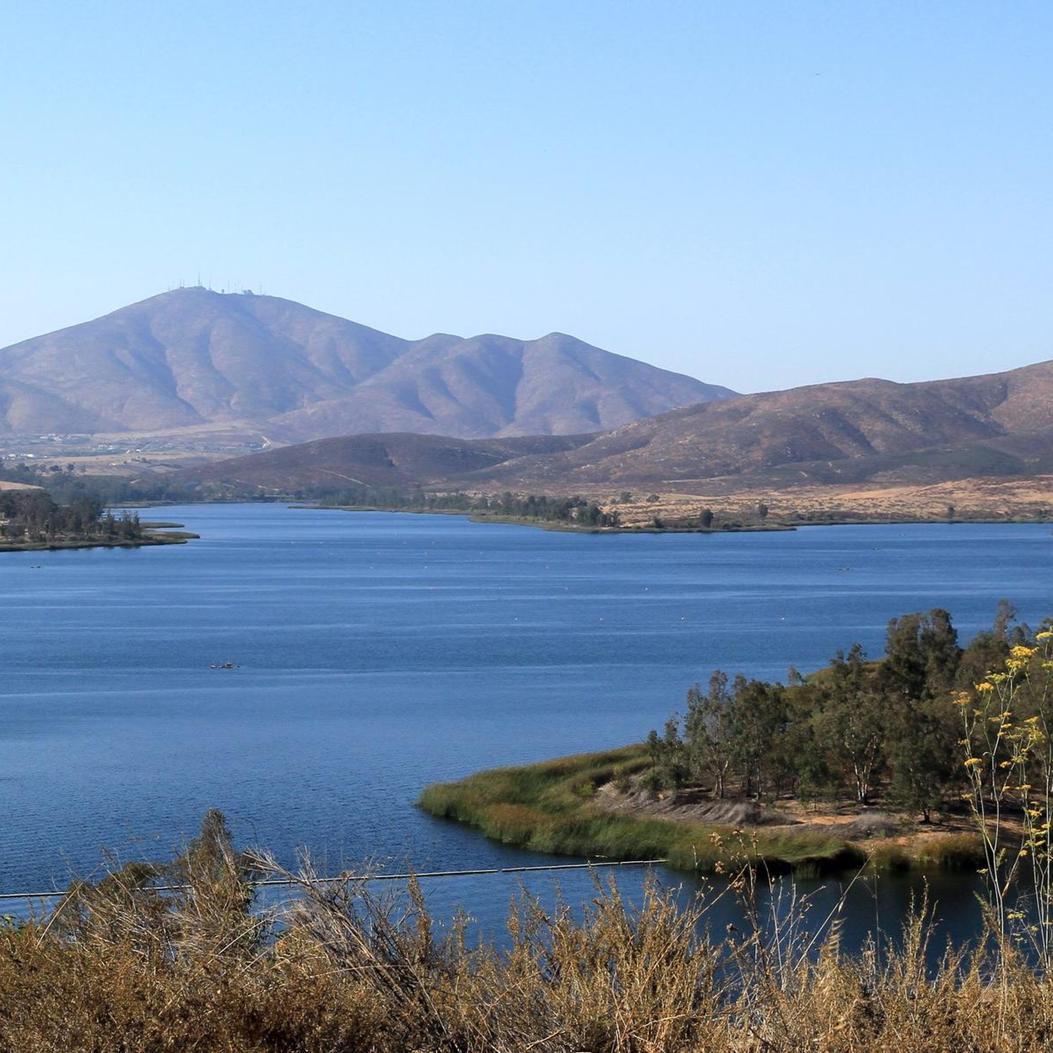
라구나 산맥 하이킹은 울창한 고산 환경에서 안자 보레고 사막으로 이어지는 다양한 풍경을 특징으로 합니다. 고도는 4,000피트에서 6,400피트 사이로, 탁 트인 소나무와 참나무 숲부터 울창한 숲과 광활한 초원에 이르기까지 다양한 지형을 제공합니다. 이 지역에는 가넷 피크(Garnet Peak)와 모뉴먼트 피크(Monument Peak)와 같은 주요 봉우리들이 있으며, 주변 숲과 사막의 탁 트인 전망을 제공합니다.
라구나 산맥 최고의 하이킹 트레일
- 가장 인기 있는 하이킹 코스는 선셋 앤 빅 라구나 트레일 루프(Sunset and Big Laguna Trail Loop)로, 8.3마일(13.3km) 길이이며 완료하는 데 3시간 37분이 소요됩니다. 이…
마지막 업데이트: 9월 14, 2026
5.0
(2)
58
등산객
29.4km
08:08
410m
730m
The Laguna Mountain Ridge via the PCT offers a diverse and rewarding hiking experience, showcasing the dramatic eastern escarpment of the Laguna Mountains. You'll traverse varied terrain from chaparral to…
5.0
(5)
49
등산객
6.67km
01:58
190m
190m
The Garnet Peak via PCT trail offers a taste of the famous Pacific Crest Trail before a dramatic ascent to a commanding summit. You'll start on a gentle, rolling path…

4.0
(2)
45
등산객
13.9km
03:53
110m
580m
The Pacific Crest Trail: Thing Valley to Boulder Oaks offers a fascinating journey through Southern California's diverse backcountry. You'll traverse varied terrain, starting in chaparral and scrub oak before ascending…
19
등산객
13.3km
03:38
210m
200m
Embark on the Sunset and Big Laguna Trail Loop, a moderate hike spanning 8.3 miles (13.3 km) with an elevation gain of 685 feet (209 metres), typically completed in 3…
5.0
(2)
17
등산객
9.59km
02:36
140m
120m
Embark on the Sunset Trail and Big Laguna Trail Loop, a moderate hike spanning 6.0 miles (9.6 km) with an elevation gain of 450 feet (137 metres), typically taking you…
4.0
(2)
17
등산객
8.24km
02:11
100m
70m
Embark on the Big Laguna Lake Loop, a moderate hiking route spanning 5.1 miles (8.2 km) with an elevation gain of 315 feet (96 metres). You can expect to complete…
18
등산객
7.11km
02:08
160m
390m
Embark on the Hauser Canyon Trail, a moderate hike spanning 4.4 miles (7.1 km) with a total elevation gain of 522 feet (159 metres). You can expect to complete this…
5.0
(2)
14
등산객
7.28km
02:04
170m
160m
The Red-Tailed Roost and Agua Dulce Trail Loop offers a refreshing escape into varied terrain, guiding you through dense woodlands and open meadows near San Diego. You'll find yourself immersed…
14
등산객
9.52km
02:39
190m
150m
Embark on the PCT: Lake Morena to Boulder Oaks, a moderate hiking route that covers 5.9 miles (9.5 km) with an elevation gain of 610 feet (186 metres). You can…
8
등산객
14.3km
04:20
480m
480m
The Mother Miguel Mountain and Sweetwater Reservoir Loop offers a moderate hiking experience with varied terrain. You will cover 8.9 miles (14.3 km) and ascend 1574 feet (480 metres), which…
더 다양한 경로와 다른 탐험가들의 추천을 살펴보세요.
이미 komoot 계정이 있나요?
투어 추천은 다른 사람들이 komoot에서 완료한 수천 개의 활동을 바탕으로 구성되어 있습니다.
오늘 무료 계정으로 시작하세요
다음 모험이 기다리고 있어요.




커뮤니티 팁

Route 894 runs from the state park entrance to Campo. If you're planning a day trip on the PCT, you can park your car here at the end of the day. The parking fee is $5.
4
0
During our visit in May 2025, the creek was empty. Reportedly, there had been a little water flowing two days earlier. However, it seems unlikely that you'll find water here. So, plan your first day so you can walk as far as Lake Morena, just in case.
3
0


There is a very small site where you can squeeze your sleeping pad for a night under the stars. Some stacked rocks provide a little shelter from the wind. The view is exceptionally good.
3
0
The Pacific Crest Trail (PCT) leads along the Burnt Rancheria Campground. There are several loops of campsites and each site is equipped with a table and a campfire ring. You can reserve a site via http://www.recreation.gov for $35/Night for single unit. To get to Mount Laguna from the PCT, a popular place to eat and resupply, you can walk across the campground.
3
0
At this junction, the Pacific Crest Trail crosses the Thing Valley Road and Morris Ranch Road. The Star Party Trail – that leads to the Mount Laguna Observatory operated by the San Diego State University Department of Astronomy – branches off the PCT.
3
0
Just off the Pacific Crest Trail, there are some flat open spots to rest or pitch tents. There might be water in Long Canyon Creek.
3
0
Next to some old trees, there is enough room for at least five tents. There is some shade and maybe water in Long Canyon Creek. It is also a nice spot to rest.
3
0
라구나 산맥에서 가장 인기 있는 명소


더 살펴보기
다른 지역의 최고의 하이킹를 살펴보세요.
