라구나 산맥 최고의 사이클링 경로
5.0
(8)
333
자전거 타는 사람
42
라이딩
라구나 산맥에서 하이킹하며 샌디에이고 카운티 구석 부분까지 살펴볼까요? 라구나 산맥에 있는 모든 하이킹 및 워킹 경로 컬렉션 중 가장 멋진 하이킹 경로를 엄선하여 소개해드릴게요. 다른 하이커가 공유한 실제 팁과 사진을 살펴보고 후기를 읽으며 마음에 드는 라구나 산맥 워킹 경로를 찾아보세요.
마지막 업데이트: 9월 13, 2026
1
자전거 타는 사람
44.3km
02:48
600m
880m
The Sunrise National Scenic Byway offers a challenging touring cycling experience through the Cleveland National Forest, delivering some of Southern California's most dramatic mountain and desert views. This difficult 27.5…
29.3km
02:34
590m
590m
The San Diego National Wildlife Refuge loop from Spring Valley offers a truly dynamic touring cycling experience, winding through diverse ecosystems from coastal sage scrub to riparian forests. You'll pedal…

5.0
(1)
27
자전거 타는 사람
24.6km
02:28
440m
440m
보통 자전거 타기. 좋은 체력 필요. 대부분 포장된 지면. 실력과 관계없이 누구나 갈 수 있음.
5.0
(1)
26
자전거 타는 사람
21.3km
01:56
310m
310m
보통 자전거 타기. 좋은 체력 필요. 대부분 포장된 지면. 실력과 관계없이 누구나 갈 수 있음.
5.0
(1)
19
자전거 타는 사람
73.9km
04:58
1,210m
1,210m
어려운 자전거 타기. 우수한 체력 필요. 대부분 포장된 지면. 실력과 관계없이 누구나 갈 수 있음.
15
자전거 타는 사람
26.8km
02:33
450m
450m
보통 자전거 타기. 좋은 체력 필요. 대부분 포장된 지면. 실력과 관계없이 누구나 갈 수 있음.
12
자전거 타는 사람
56.9km
04:15
1,170m
1,170m
어려운 자전거 타기. 우수한 체력 필요. 대부분 포장된 지면. 실력과 관계없이 누구나 갈 수 있음.
10
자전거 타는 사람
50.5km
03:40
1,030m
1,030m
어려운 자전거 타기. 우수한 체력 필요. 대부분 포장된 지면. 실력과 관계없이 누구나 갈 수 있음.
10
자전거 타는 사람
59.6km
03:50
740m
740m
어려운 자전거 타기. 우수한 체력 필요. 대부분 포장된 지면. 실력과 관계없이 누구나 갈 수 있음.
7
자전거 타는 사람
95.4km
06:25
1,580m
1,580m
어려운 자전거 타기. 우수한 체력 필요. 대부분 포장된 지면. 실력과 관계없이 누구나 갈 수 있음.
더 다양한 경로와 다른 탐험가들의 추천을 살펴보세요.
이미 komoot 계정이 있나요?
투어 추천은 다른 사람들이 komoot에서 완료한 수천 개의 활동을 바탕으로 구성되어 있습니다.
오늘 무료 계정으로 시작하세요
다음 모험이 기다리고 있어요.




커뮤니티 팁

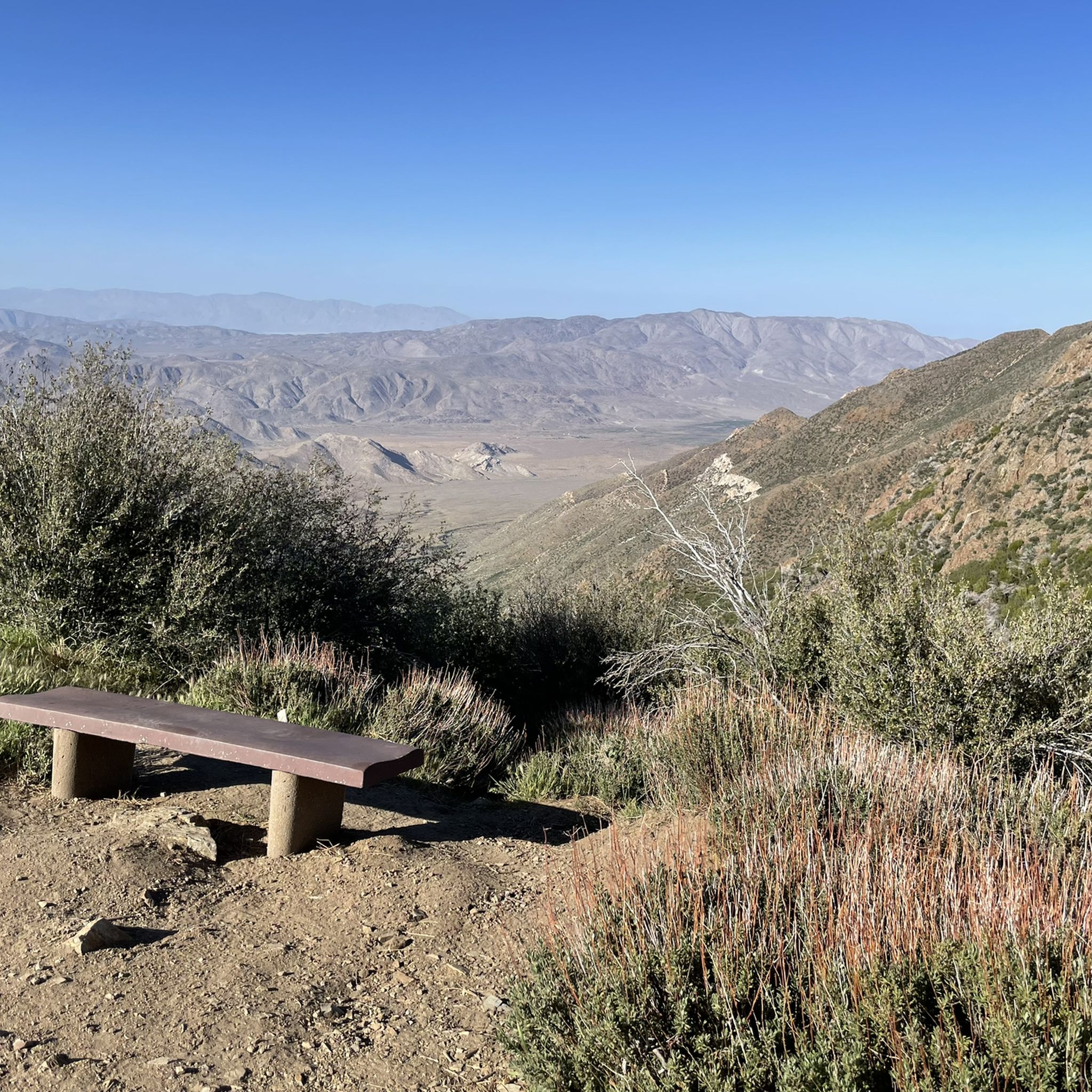
One of the classic photo stops along Sunrise Highway. After the steady climb, this open viewpoint offers wide, unobstructed views over the rolling, vegetation-covered hills. A great place to take a break, refuel, and soak in how far you’ve come.
0
0
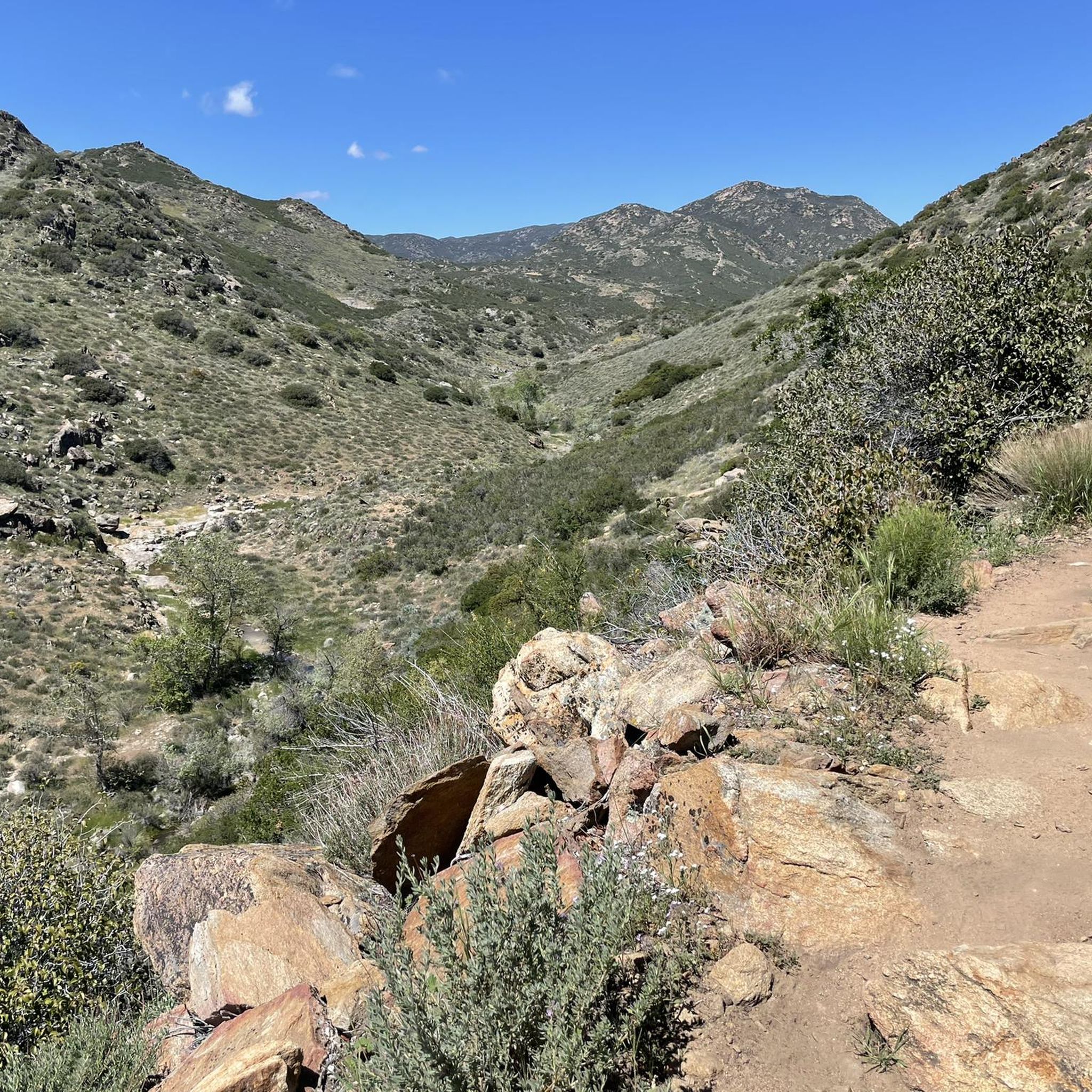
A quiet pull-off spot just off the highway, surrounded by tall pines and cooler air. The pond itself is small but scenic—a nice excuse to stop, stretch your legs, and enjoy a quick breather before continuing the climb. Not much traffic back here, so it feels like a peaceful break from the road.
0
0

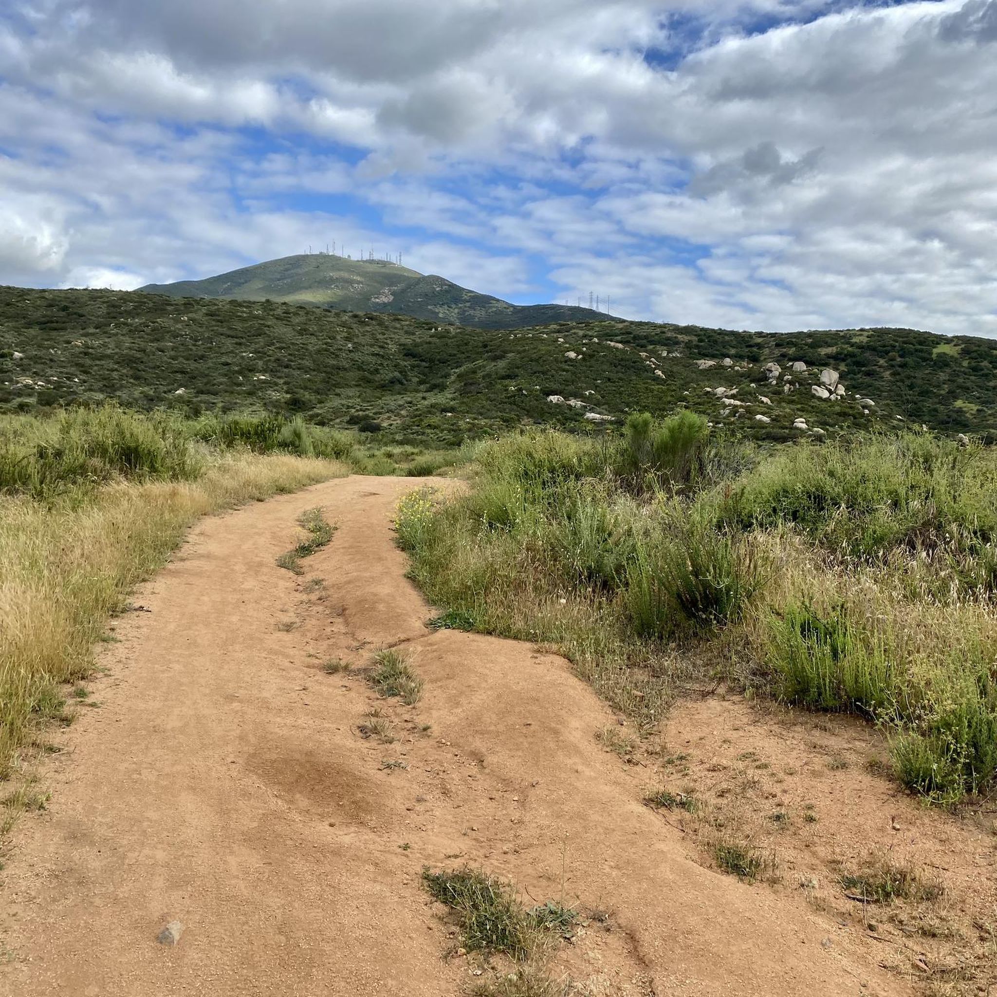
Los Huecos Road is a wide smooth gravel road lined with pine, cedars, and oak trees providing a beautiful shady ride.
0
0
The Sweetwater River is a small year-round stream that flows 55 miles from the Cuyamaca Mountains to the San Diego Bay.
1
0

Agua Dulce Trail's steep gradients and technical sections make it better suited for intermediate to advanced riders. Bring plenty of water and be prepared for both the climb and thrilling descents. The effort is well worth it for the adventure and views!
0
0

The Steele Canyon Bridge, also known as the Sweetwater River Bridge, is a beautiful landmark crossing the Sweetwater River. It is on the National Register of Historic places, and is no longer used for vehicles but is a great hiking, running or biking spot.
0
0

Hollenbeck Canyon Wildlife Area provides a 6,100-acre wildlife corridor between Otay Mountain and the Jamul Mountains. This mainly includes coastal sage scrub, chaparral, oak woodlands, riparian forests, freshwater marshes, and grasslands. The height range hovers between a low of 750' to 2,100'.
0
0

The Sweetwater River flows from Loveland Dam passing through Lake Emma, where the river bends west and runs parallel to Dehesa Road. The lake is fenced off and access is limited. At the western end of the lake is a golf club.
0
0
라구나 산맥에서 가장 인기 있는 명소


더 살펴보기
다른 지역의 최고의 자전거 경로를 살펴보세요.
