할더베르게에서 가장 멋진 14개의 호수
할더베르게에서 가장 멋진 호수를 방문하고 싶나요? 호숫가의 고요한 분위기를 느끼거나 날씨가 따뜻한 날 호수에 발을 살짝 담글 수 있다면 얼마나 좋을까요? Komoot 커뮤니티가 추천한 할더베르게의 주요 호수를 아래에서 살펴보고, 다음 모험 때 직접 찾아가보세요!
마지막 업데이트: 8월 19, 2026
파넨호프 자연보호구역
하이라이트 • 숲
번역자 Google •
팁에 의해

Oeverlanden Hollands Diep 자연보호구역
하이라이트 • 자연
번역자 Google •
팁에 의해

이런 장소를 발견하려면 지금 가입하세요
최고의 싱글 트랙, 봉우리 및 다양한 흥미로운 야외 장소에 대한 추천을 받아보세요.
무료 회원 가입


오늘 무료 계정으로 시작하세요
다음 모험이 기다리고 있어요.
로그인 또는 가입하기
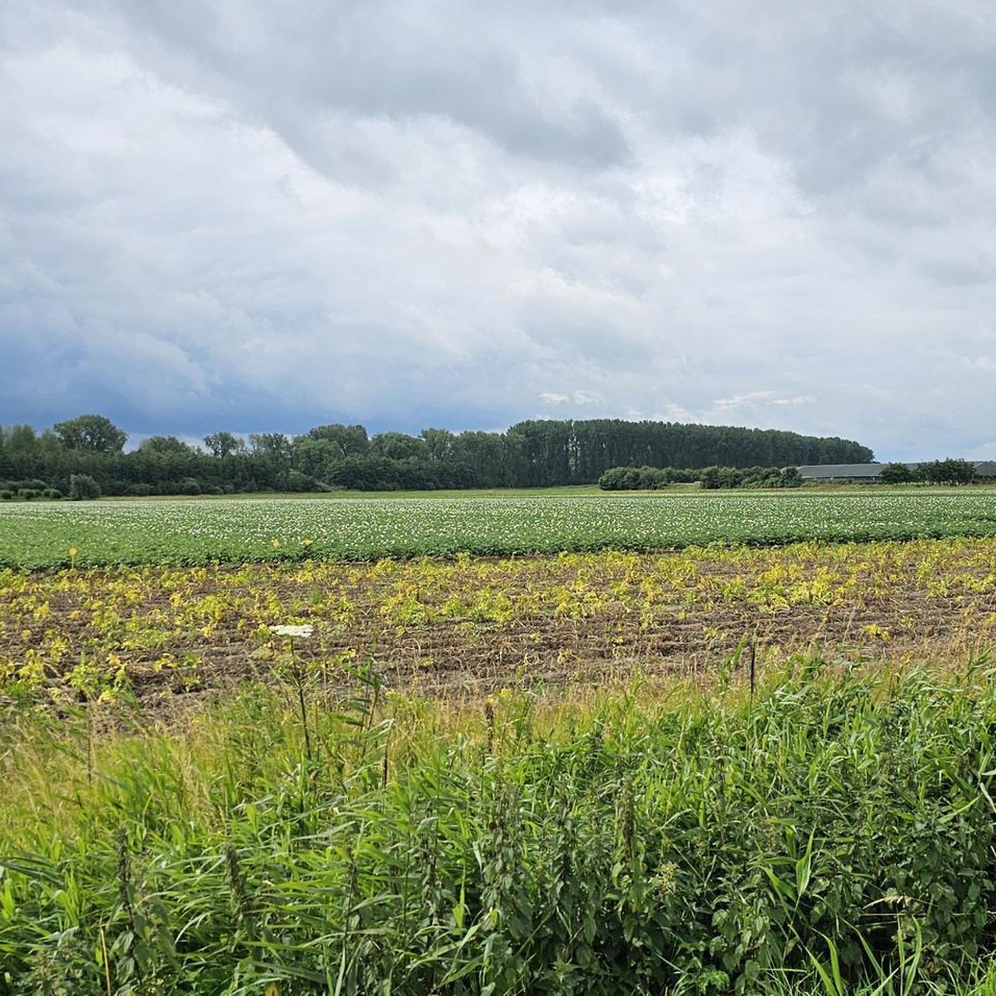

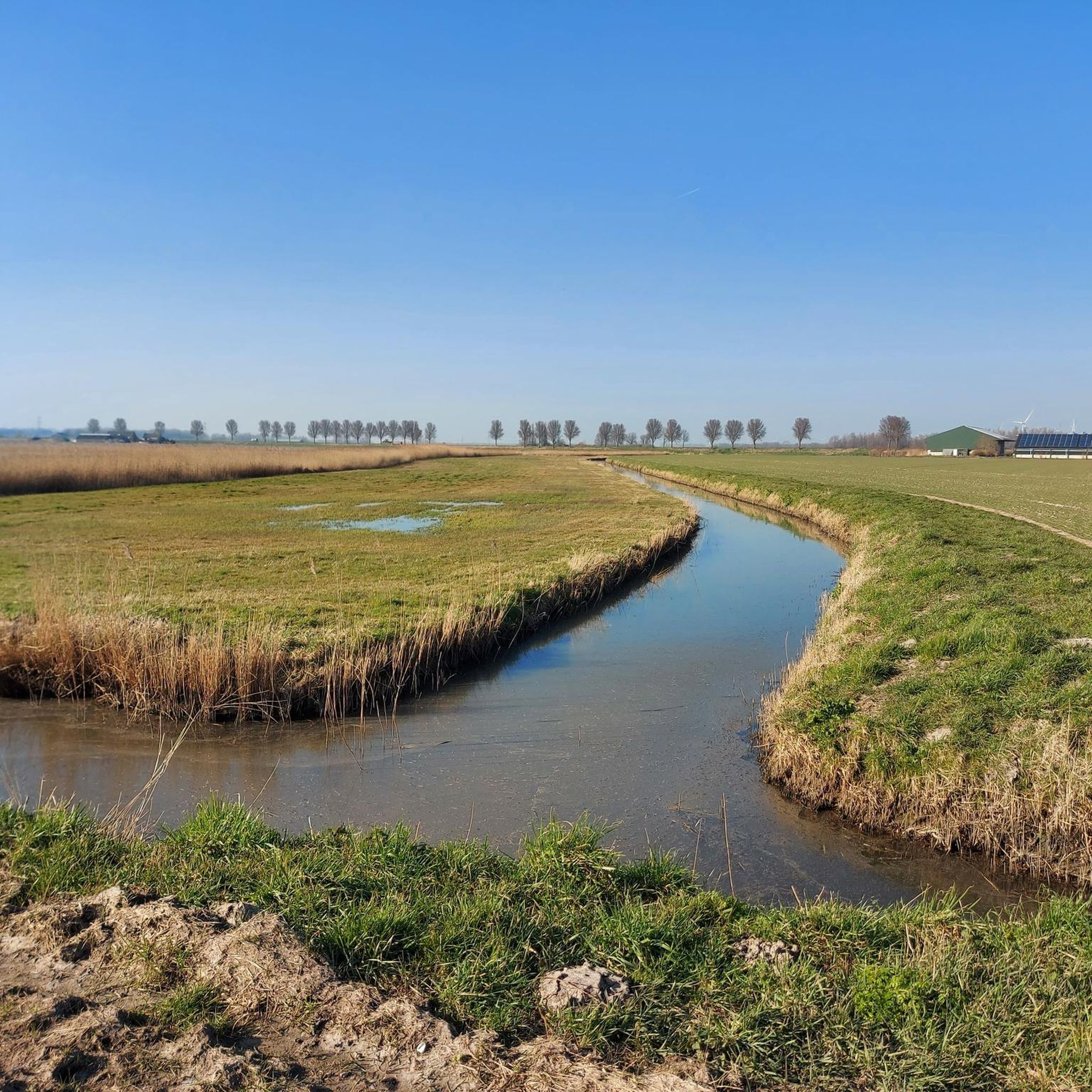
할더베르게 주변의 다른 모험

커뮤니티 팁

Anyone who is a fan of tidal areas will really do themselves a big favor by going for a walk here for a day. Beautiful nature and wonderfully quiet on weekdays. Watch out for the cattle that like to stand in the water when it is warm. Dragonflies, frogs, dozens of species of birds and beautiful flowers! Do bring your own food and drinks because there are no catering facilities or water points here.
2
0

The Volkerak locks, west of Willemstad, were built as part of the Delta Plan. A secondary dam had to be built in the Volkerak to close off the Oosterschelde and the Haringvliet. However, the closing off of the Volkerak, which was planned in 1969, would also block an important shipping route between Rotterdam/Germany and Antwerp/France. It was therefore decided to build a lock complex in the dam to be constructed. The first two inland navigation locks were built in 1964. In 1977, the complex was expanded to the northwest with an additional lock for inland shipping, an inlet lock and finally a separate recreational lock. Bridges had already been built over the newly constructed locks: a fixed bridge and a double movable bascule bridge over the southern lock for commercial shipping. To the south of the locks are various service houses and a workshop and storage area for the emergency power supply and the nuclear shelter below. On the south bank of the Volkerak, at the beginning of the lock, there is a lookout tower, with a storage area for the reserve gates underneath. In addition, a new lock keeper's office was built around 2012; the old lock keeper's house between the eastern and middle locks was demolished shortly afterwards. At some distance from the locks on the south bank, there is another office and a door storage / workshop. In 1988, the complex was mentioned in the Guinness Book of Records as the largest inland shipping object in the world. The commercial shipping locks are each 325 metres long and 24 metres wide. The locks are built of concrete and each has four pairs of steel doors; two pairs for ebb and two pairs for flood.
7
0

The Rozenven is a beautiful resting point on the Visdonk Estate. From the jetty and the boardwalk you can daydream and look out over the water.
3
0
Forest, fens and flowery meadows characterise the Pannenhoef, a beautiful nature reserve between Etten-Leur, Zundert, Rijsbergen and Sprundel, which is no less than 706 hectares in size. Originally, a kind of mini-Peel was located here. The entire peat package was dug away in a few centuries, between 1400 and 1750. In dried form - peat - it went to the cities via peat canals, as fuel for households and breweries. The most famous is the 'Turfvaart' that runs to Breda. What remained was a hilly heath with fens in the hollows. There was little to be gained there and so in the 19th century the area was developed into forest and agricultural land. Walking through varied forest and flowery meadow When Brabants Landschap bought this area in 1970, it was boring with few natural values: fertilised agricultural land, young uniform coniferous forest and no more fens. Little life to be seen. After 40 years, that image has changed completely: attractive mixed forest and no less than 11 fens have been dug up again. With that, rare plants came back, such as the heath serpent and marsh stag's-wort. And amphibians such as the pool and moor frog. The forests are home to mammals, such as the polecat and roe deer and birds such as the green woodpecker and buzzard.
5
0

The Volkerak is a body of water located southeast of the South Holland island of Goeree-Overflakkee. On the east side of the Volkerak are the Volkerak locks to the Hollands Diep; The Krammer is located on the west side. In the south of the Volkerak, the Scheldt-Rhine Canal to Antwerp begins
4
0

The creation of the riparian lands on the Hollands Diep is a fascinating interplay of nature and human effort. The Hollands Diep formed a natural division between areas, with its banks formed by the natural movement of water and sediment. However, with the arrival of humans, the landscape began to change. In the past, residents saw the potential of the fertile banks and started reclaiming pieces of land from the water with the help of dikes and ditches. This marked the beginning of an era of land reclamation and water management. As time and technology advanced, the experimental land reclamation efforts became more ambitious. Engineers designed complex systems of dikes and dams, creating more and more riparian lands. The once wild banks transformed into orderly, fertile lands, where nature and people together form a unique and harmonious landscape along the Hollands Diep. Each piece of land reclaimed became a new chapter in the timeless story of the interaction between land, water and people in the Netherlands.
7
0

A nature reserve that is worth walking in every season.
5
0
Boy Scoutsven, which was dredged and limed in 1989. Since 1996, there has been a moor frog population again and river bank herb and white water crowfoot grow there. You will find round and small sundews, heather serpentine leaves and bell gentian. Due to the drought in recent years, the water level at Padvindersven has fallen sharply.
1
0
할더베르게 주변에서 가장 인기 있는 명소


더 살펴보기
할더베르게 주변에서 완벽한 호수를 아직 못 찾으셨나요? 이 지역의 가이드를 확인하여 더 아름다운 장소를 찾아보세요.
