경로

플래너

기능

업데이트

App

로그인 또는 가입

앱 다운로드

로그인 또는 가입

로그인 또는 가입

경로
Places to see
Lakes
독일
슐레스비히-홀슈타인
북 프리지아

옥홀름

옥홀름‬에서 가장 멋진 ‪14‬개의 호수

옥홀름에서 가장 멋진 호수를 방문하고 싶나요? 호숫가의 고요한 분위기를 느끼거나 날씨가 따뜻한 날 호수에 발을 살짝 담글 수 있다면 얼마나 좋을까요? Komoot 커뮤니티가 추천한 옥홀름의 주요 호수를 아래에서 살펴보고, 다음 모험 때 직접 찾아가보세요!

마지막 업데이트: 5월 15, 2026

Hauke-Haien-Koog 습지와 갯벌

하이라이트 • 자연

March and Watts are Vogelland: In the spring about ten million migratory birds rest in the Wadden Sea and gather strength for their onward journey: Arctic waders, duck birds and …

번역자 Google •

에 의해

하이킹 보기

휴대폰으로 전송

저장

페딩 빗물 연못

하이라이트 • 기념물

Fething (North Frisian: di / jü Feeding) is a special water storage basin on the Halligen and terps in the marshland on the German and Dutch North Sea coasts. Fethinge …

번역자 Google •

에 의해

저장

이런 장소를 발견하려면 지금 가입하세요

최고의 싱글 트랙, 봉우리 및 다양한 흥미로운 야외 장소에 대한 추천을 받아보세요.

무료 회원 가입

뤼트무어제 염수 석호

하이라이트 • 호수

Bird sanctuary. Take binoculars and watch birds.

번역자 Google •

에 의해

저장

Bordelumer Heide is a small lake district with heathland. There is a drive through in this area, which is not registered in the KomootMap ....
see pictures.

번역자 Google •

에 의해

저장

보트슐로터 호수

하이라이트 • 호수

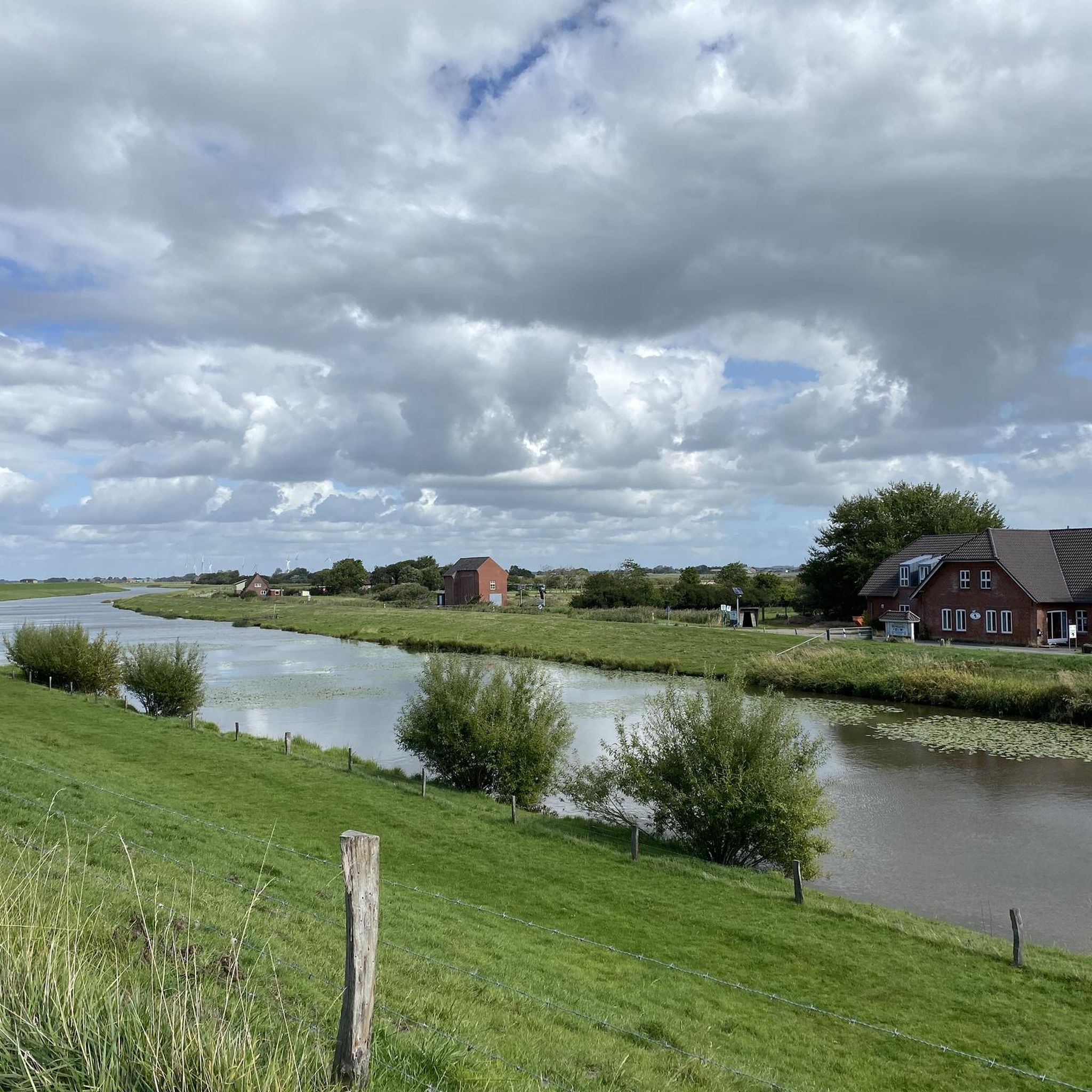
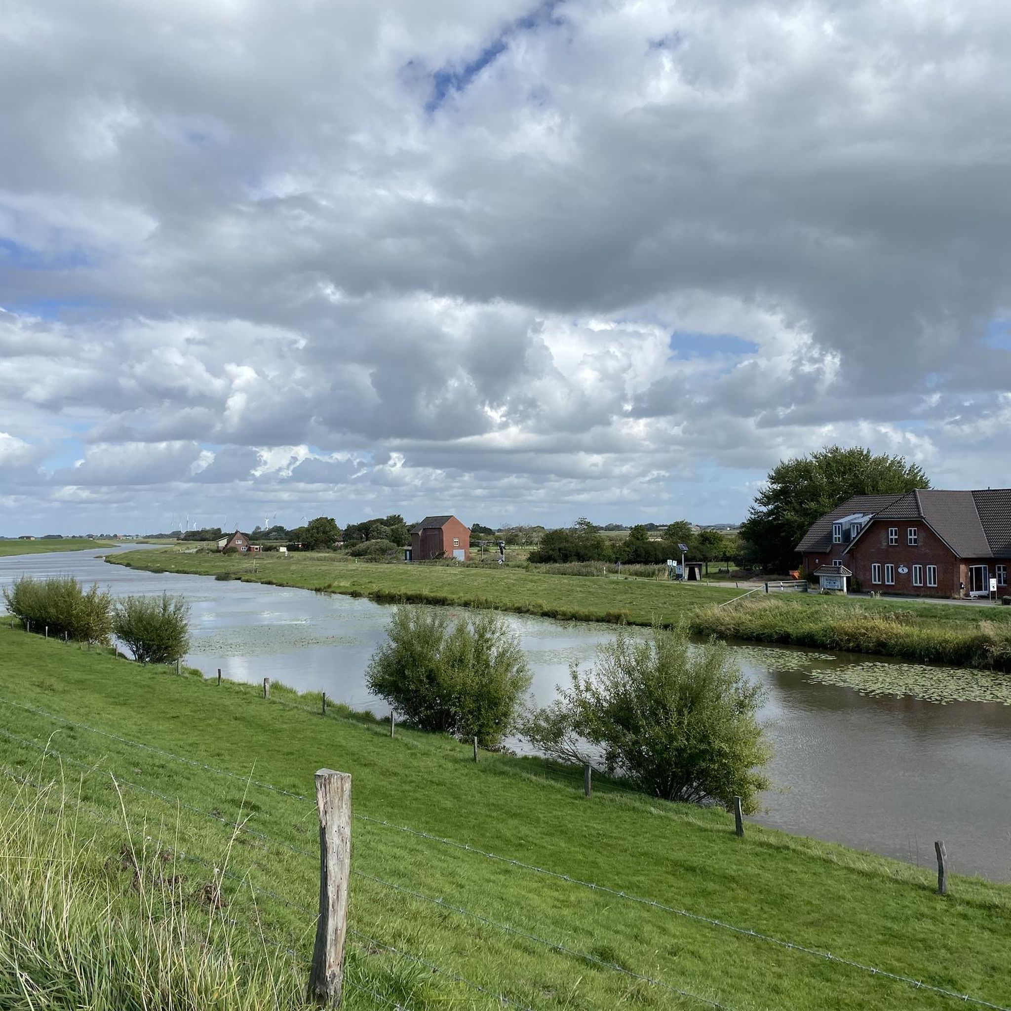
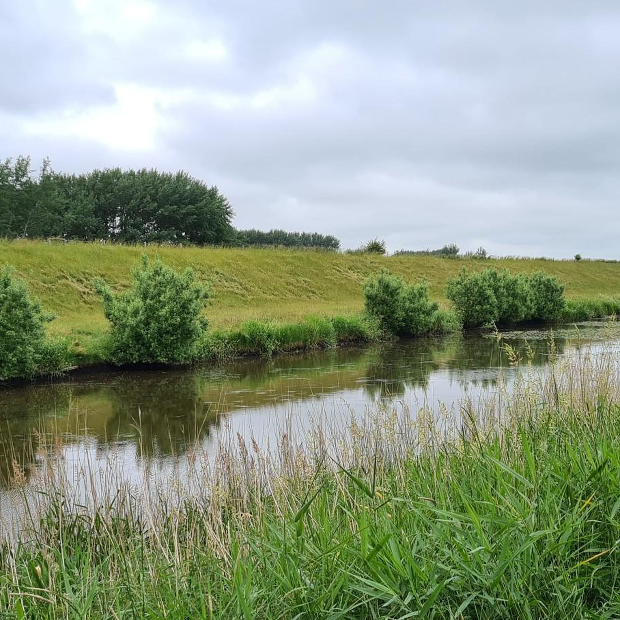
It is only a few kilometers from Dagebüll harbor and you reach a district of Dagebüll: Fahretoft. A lovely place with lots of little thatched-roof houses on mounds. Lots of …

번역자 Google •

에 의해

저장

무료로 가입하여 옥홀름 주변의 더 많은 호수를 발견하세요.

무료 회원 가입

이미 komoot 계정이 있나요?

오늘 무료 계정으로 시작하세요

다음 모험이 기다리고 있어요.
로그인 또는 가입하기

옥홀름 주변 인기 장소

Entdecke die Erlebnisrouten im Mittleren Nordfriesland: Zwischen Küste und Binnenland

옥홀름 사이클링

옥홀름 하이킹

옥홀름 로드 사이클링 경로

옥홀름 MTB 트레일

옥홀름 러닝 트레일

옥홀름 주변의 다른 모험

Entdecke die Erlebnisrouten im Mittleren Nordfriesland: Zwischen Küste und Binnenland

사이클링 컬렉션 에 의해

Nordseeküste Nordfriesland

커뮤니티 팁

D🚶🏻‍➡️ℹ️🚴🇲🇨r🚶🏻‍♂️k
6월 19, 2025, Lüttmoorsee Saltwater Lagoon

https://www.nordseeliebe.de/nordfriesland/ausflugsziele/luettmoorsiel/

0

0

JR56
5월 22, 2024, Bottschlotter See

It is only a few kilometers from Dagebüll harbor and you reach a district of Dagebüll: Fahretoft. A lovely place with lots of little thatched-roof houses on mounds. Lots of nature awaits you and if you drive a little further you will reach the Bottschloter Lake. This little spot on earth is wonderfully recommended for hikes and bike tours. https://www.dagebuell-tourismus.de/vor-ort-umgebung/orte/fahretoft

번역: Google

3

0

Nature lovers will get their money's worth here. Binoculars are recommended for observing the birds.

번역: Google

1

0

This two lane trail still exists and it runs through beautiful moorland. At the Hochstand, follow the small path slightly to the right, which then widens again immediately. The wider path, slightly to the left, ends in the reeds.

번역: Google

1

0

The area around the Hauke-Haien-Koog is a bird sanctuary. There we were able to observe a white-tailed eagle pair on 04.2022.

번역: Google

2

0

Fething (North Frisian: di / jü Feeding) is a special water storage basin on the Halligen and terps in the marshland on the German and Dutch North Sea coasts. Fethinge are rainwater collecting basins that were usually used as cattle troughs and give the impression of a normal pond. Mostly they were created at the highest point, i.e. in the middle of the Hallig or Terft. Since the surface water of the meadows and thus possibly also dung could get into Fethinge, they were usually not suitable as reservoirs for drinking water. For this purpose, a separate cistern, the so-called Sood, was created, in which the rainwater from the roofs could collect. Drinking water was a precious commodity on the Halligen and in the marshland. Due to the island location and the small size of a Hallig, even the groundwater consists of salt water. The Fethinge only lost its task in the middle of the 20th century when the water supply was gradually expanded. In the meantime, the still existing fethings have been placed under monument protection. Source: Wikipedia

번역: Google

4

0

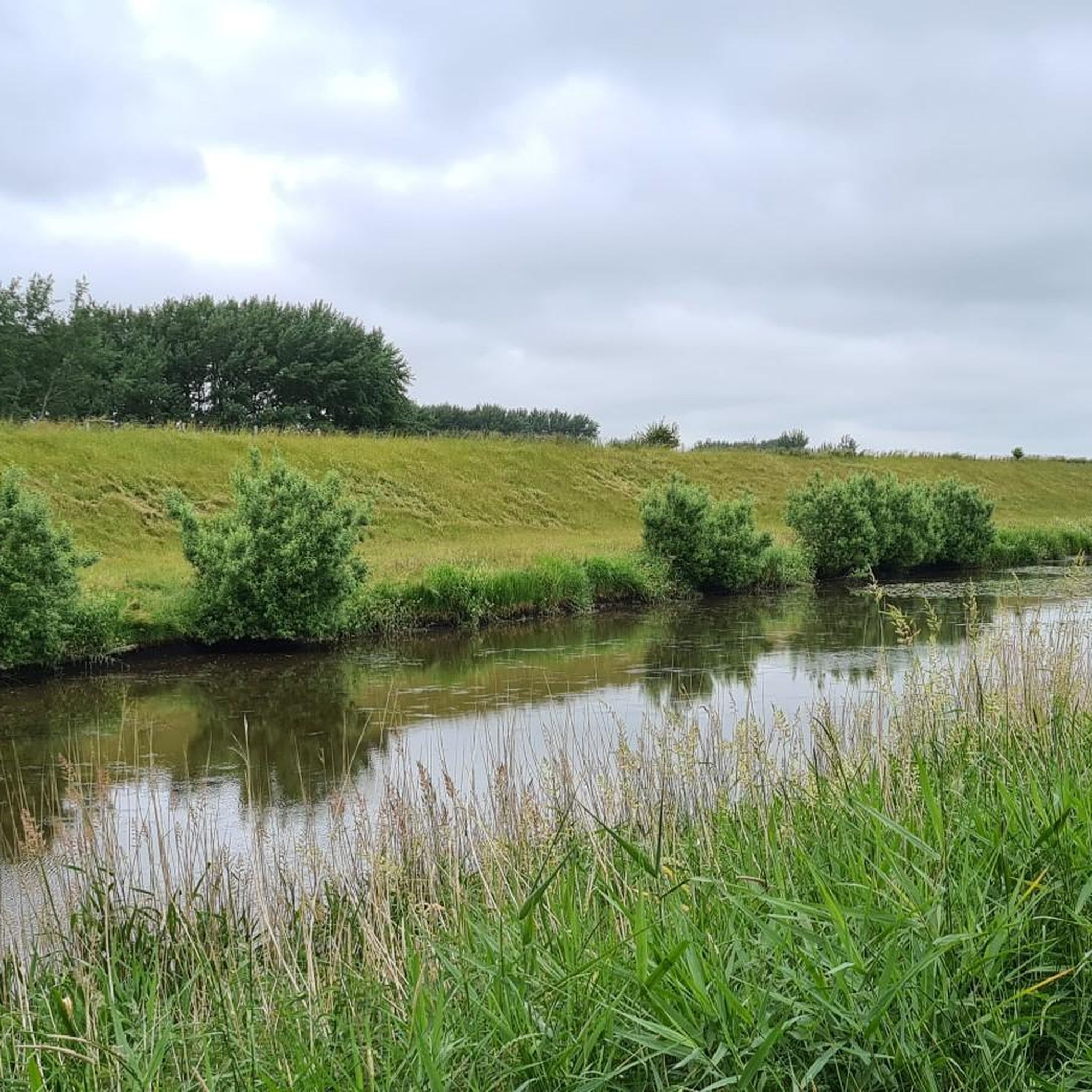
The Lüttmoorsee is a saltwater lagoon in Schleswig-Holstein near Reußenköge. The lake area is 2.75 km² and the mean depth is less than one meter, the deepest point is just 1.7 meters. The Lüttmoorsee has a catchment area of 3.65 km² and is located in the Eider river basin district and in the Beltringharder Koog nature reserve. In 1987, the Lüttmoorsee was created when a coastal protection project created a dike behind which the salt water lagoon was created.

번역: Google

3

0

옥홀름 주변에서 가장 인기 있는 경로

옥홀름 사이클링

옥홀름 주변에서 가장 인기 있는 명소

Places to see

Store rating

komoot 모바일 앱으로 영감을 받아보세요

무료 komoot 계정로 끝없는 야외 모험을 손쉽게 찾고, 맞춤 설정하며 길안내할 수 있어요.

또는

지금 komoot에 가입하세요

Store rating

더 살펴보기

옥홀름 주변에서 완벽한 호수를 아직 못 찾으셨나요? 이 지역의 가이드를 확인하여 더 아름다운 장소를 찾아보세요.

캄펜(실트)실트Wenningstedt-Braderup (Sylt)호르눔(실트)보그섬니블럼엔혼보르델럼갈름스뷜로이센쾨게리섬-린드홀름니뷜스테데샌드다게뷜클릭스뷜Wittdün auf Amrum위섬네벨Norddorf auf Amrum자궁앙상드바검브레클룸스트러쿰브레드스테트티닝스테트렉스가드봄스테트알름도르프회겔뤼첸홀름아크트룹쇠네뷜골드룬드드렐스도르프쥐덜뤼굼경기장랑게네스Hattstedtermarsch라델룬드카룸란툼베켄스프레이크뷜험프트럽볼스테트브라더업Joldelund브람스테트룬트엘회프트목록 auf Sylt아렌쇼프트그뢰데노드스트랜드올섬암룸후숨뢰벤슈테트에멜스뷜-호르스뷜코첸불토닝우푸숨알레와트아벤토프트노르스테트콜커하이데워벤뷜Hattstedt테이팅키르히슈필 가딩그로투센쿠그란툼베켄솔윗골데벡보스뷜올덴스워트웨스터엘리자베스-소피엔-쿠그베렌도르프볼러비크가딩부은 자국캐서린넨헤어드테텐불프리드리히-빌헬름-뤼브케-쿠그올데룹본델럼Südermarsch위츠워트콜덴뷔텔하셀룬드Langenberger Forst비올윅섬Wyk auf Föhr오베넘주데렌데시몬스버그클랑스뷘로데나스슈바브스테트미드룸알케르섬푀르슈베싱아렌비욜펠트아렌비올람스테트위너올더스베크오스텐펠트(후숨)웨스터-오르스테트비트벡오스터 오흐스테트

근처 어드벤처 가이드

보츨로터 호수 즐길거리

background

새로운 정복을 위한 준비를 하세요

무료로 가입하기

탐험하기
경로경로 플래너기능하이킹MTB 트레일로드 사이클링 경로바이크패킹사이트맵
앱 다운로드
소셜 미디어에서 팔로우하기

© komoot GmbH

개인 정보 보호 정책