니더샤이트바일러에서 가장 멋진 18개의 협곡
니더샤이트바일러에 있는 멋진 협곡 18
개를 소개해드릴게요. 아래에서 멋진 협곡을 살펴보고, 다음 니더샤이트바일러 모험에 도움이 될 만한 사진, 팁, 추가 정보를 알아보세요.
마지막 업데이트: 8월 20, 2026
Wolfsschlucht(불카네이펠)
하이라이트 • 협곡
번역자 Google •
팁에 의해

클라이네 킬의 소용돌이 웅덩이
하이라이트 • 자연 기념물
번역자 Google •
팁에 의해

이런 장소를 발견하려면 지금 가입하세요
최고의 싱글 트랙, 봉우리 및 다양한 흥미로운 야외 장소에 대한 추천을 받아보세요.
무료 회원 가입

볼프슐루흐트의 현무암 기둥
하이라이트 • 자연 기념물
번역자 Google •
팁에 의해

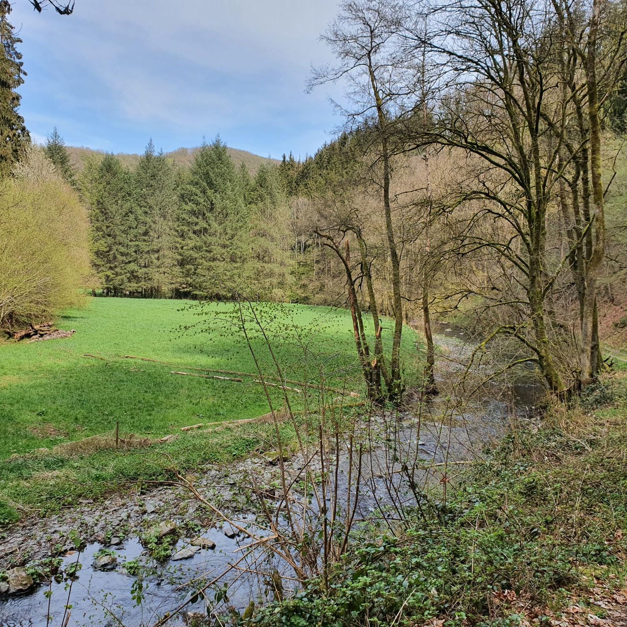
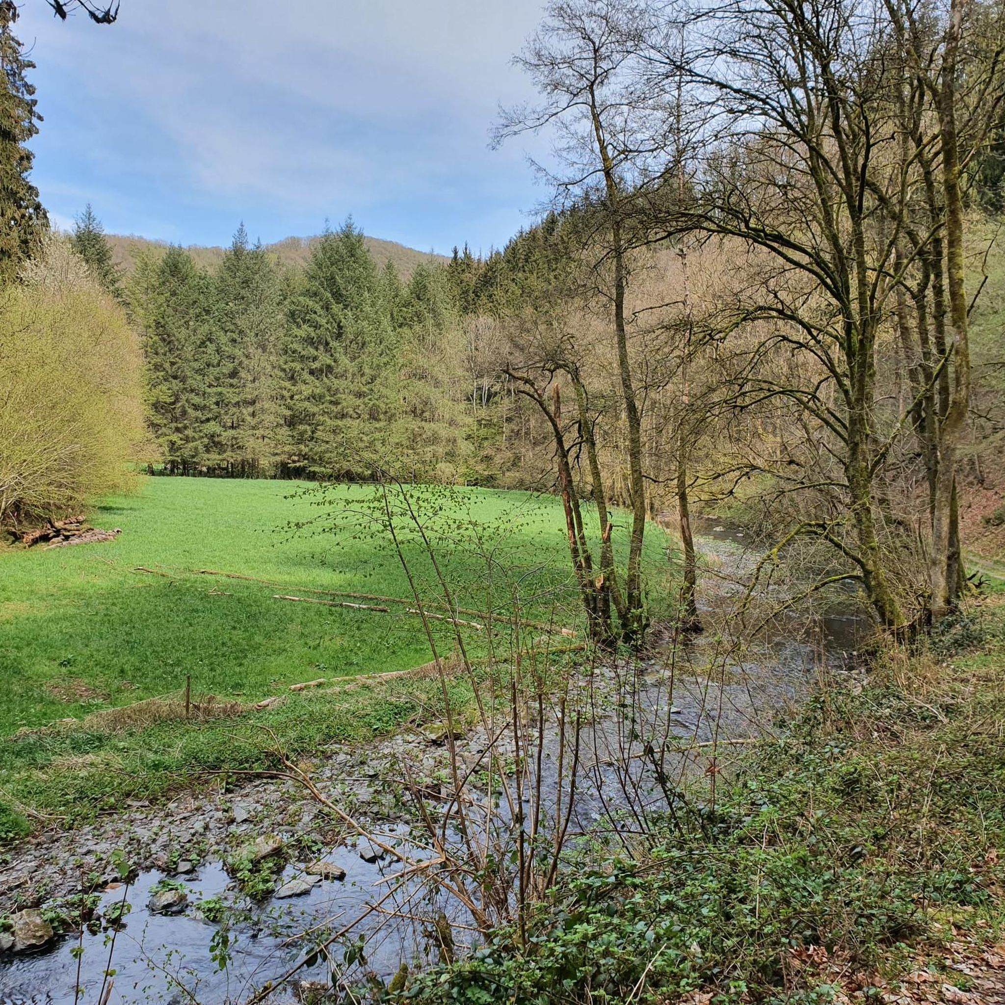
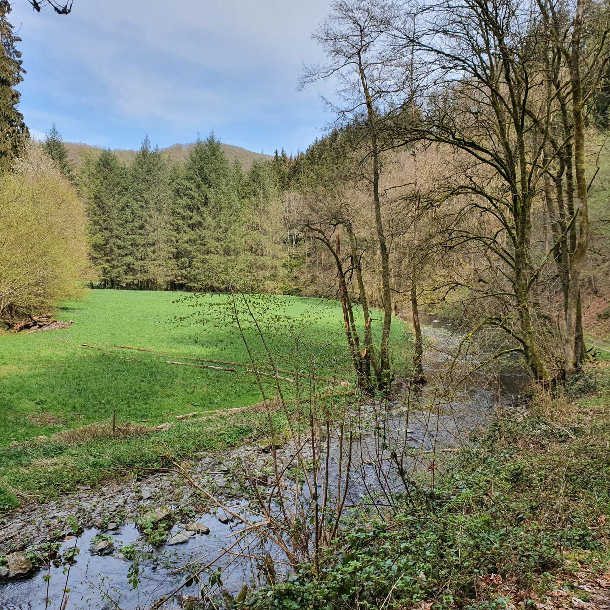
목가적인 알프바흐 계곡
하이라이트 • 협곡
번역자 Google •
팁에 의해

무료로 가입하여 니더샤이트바일러 주변의 더 많은 협곡을 발견하세요.
무료 회원 가입
이미 komoot 계정이 있나요?
오늘 무료 계정으로 시작하세요
다음 모험이 기다리고 있어요.
로그인 또는 가입하기

커뮤니티 팁


Simply experience a wonderful piece of nature.
1
0

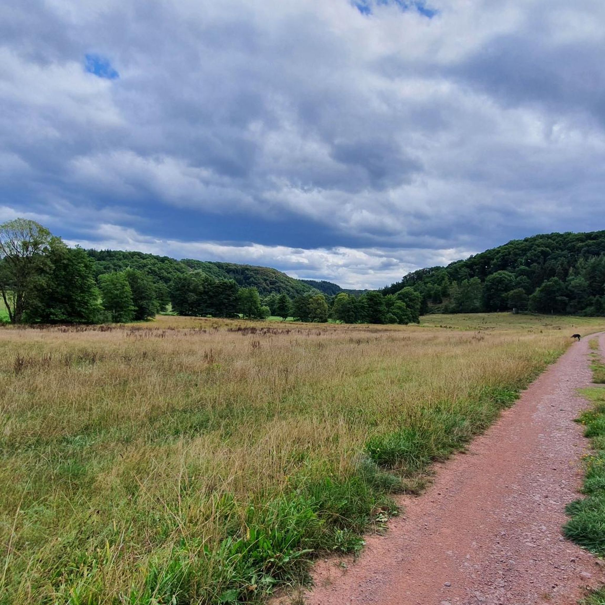
Beautiful valley along the stream. The Alfbach is integrated into the hiking trail "Strohner Schweiz"
1
0
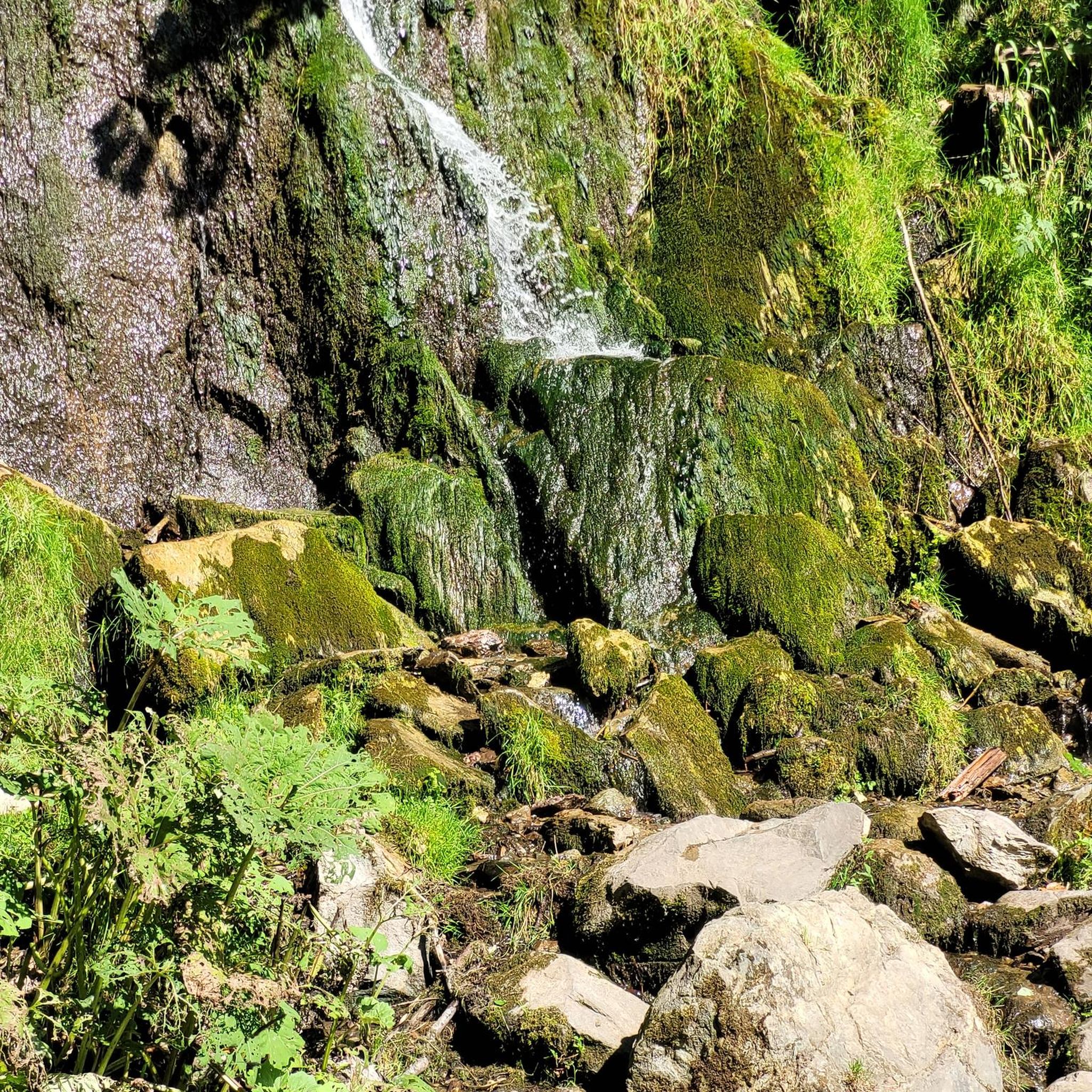
As beautiful as the Wolfsschlucht is, you should always be careful when hiking through it. If it has rained, the rocky path can be very slippery. Sturdy, well-profiled shoes are therefore strongly recommended.
4
0


The Alf (also: "Alfbach") is a nearly 52 km long, orographically left tributary of the Moselle. The Alf rises about 1 km northeast of Hörscheid in the Volcanic Eifel. From its source at 549 m above sea level, the Alf initially flows in a southerly direction. The first town on its route is Darscheid, past whose eastern edge it flows. The next towns directly along its course are Gillenfeld and Strohn. In its upper reaches up to Strohn, the Alf flows for a long time in a wide and broadly gravelled valley, which is followed from near Steiningen to just before Udler, which is also outside the valley basin, briefly by the A 48 motorway and then for a longer period by the A 1 motorway, and a little later, starting at the Mehren industrial estate and ending at Gillenfeld, the Maare-Mosel cycle path, which runs there on the route of the former railway line from Wittlich to Daun. In the following middle section, which continues southwards to Bausendorf, the course of the Alf is quite winding and is more deeply embedded in the Eifel hills; there are only mills on the river. While the direction of the river was predominantly south up to Bausendorf, it turns east there and flows through the towns of Kinderbeuern and Bengel, south of the Kondelwald. Around 3.5 km downstream from Bengel, it abruptly turns north, as the ridge with the Reiler Hals blocks the further route eastwards to the Moselle, which is only 500 m away. After the Alf has taken in the Üßbach from the northwest, by far its largest tributary, whose partial catchment area even exceeds its own up to that point, it breaks its way eastwards for less than three kilometres through the Moselle mountains and then flows into the Moselle from the left in Alf in the Cochem-Zell district at 92 m above sea level. After a 52 km long course with an average bed gradient of 8.8 ‰, the Alf flows into the river 459 meters below its source.
1
0
니더샤이트바일러 주변에서 가장 인기 있는 명소


더 살펴보기
이 지역에서 모든 것을 발견하셨나요? 다음 모험을 위해 니더샤이트바일러 주변의 추가 협곡을 확인해보세요:
