드리스에서 가장 멋진 14개의 호수
마지막 업데이트: 10월 27, 2026
Booser Doppelmaar 습지
하이라이트 • 자연 기념물
번역자 Google •
팁에 의해


이런 장소를 발견하려면 지금 가입하세요
최고의 싱글 트랙, 봉우리 및 다양한 흥미로운 야외 장소에 대한 추천을 받아보세요.
보저 도펠마아르 전경
하이라이트 • 전망대
번역자 Google •
팁에 의해

그뤼너 바이허 (후렌뷔슈-바이허)
하이라이트 • 호수
번역자 Google •
팁에 의해


오늘 무료 계정으로 시작하세요
다음 모험이 기다리고 있어요.
커뮤니티 팁


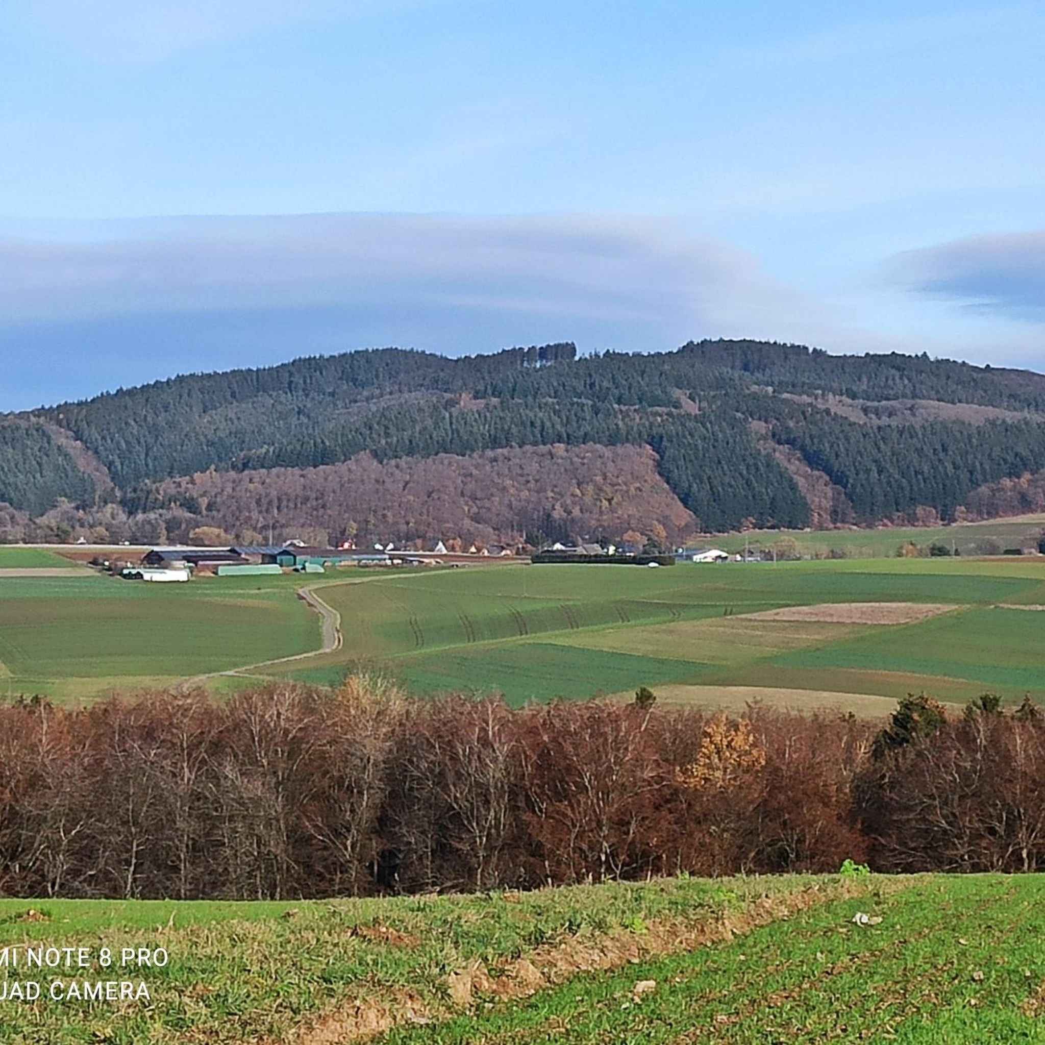
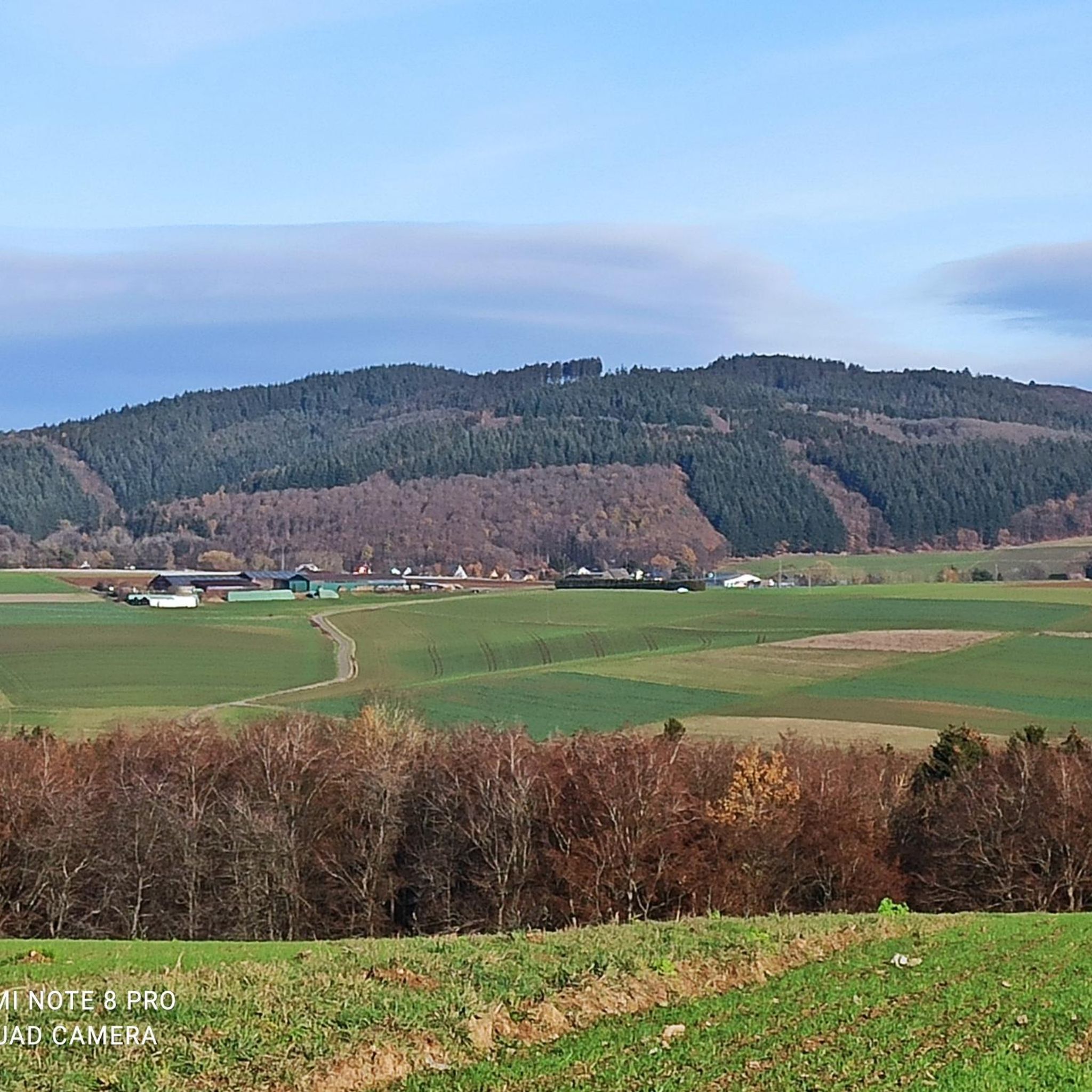
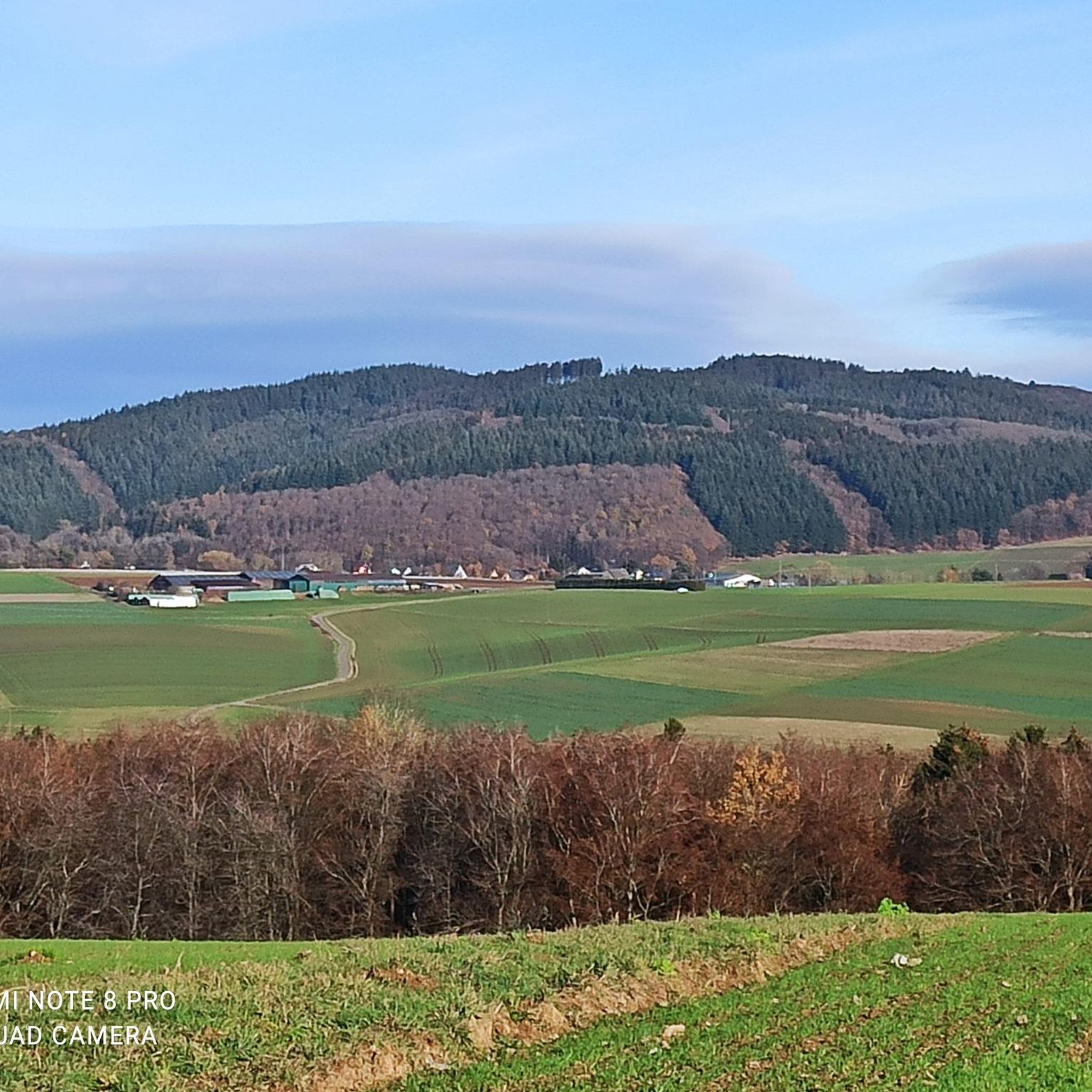
The Boos Double Maar consists of two silted-up maars, which today appear as shallow depressions in the terrain. They are located within the municipality of Boos. The two maars formed between 10,150 and 14,160 years ago and belong to the Quaternary volcanic field of the Volcanic Eifel. The two maars form large, circular basins surrounded by tuff embankments. They lie on a west-southwest-east-northeast trend, thus following the Variscan strike of the subsurface. The west-southwest maar has a diameter of approximately 700 m and a depth of between 30 and 60 m; the east-northeast maar is between 650 and 700 m and a depth of between 50 and 87 m. Both depressions are very humid, so there are still areas that have a permanent water surface. The waters were formerly used as fish ponds, but later silted up and served as meadows and fields. Today, there is once again a fish pond in the west-southwestern part of the maar, the Booser Weiher. In the vicinity of the maars, there are tuff pits where the volcanic tuff formed during the eruption of the maars was mined. Very beautiful nature.
0
0

especially when the sun rays penetrate through the treetops a great sight
0
0

The history of the Volcanic Eifel can be explored at the Booser Doppelmaar. The Booser Doppelmaar consists of two silted-up maars, which today appear as flat hollows in the terrain. The two maars were formed between 10,150 and 14,160 years ago. Viewed from above, the two maars are circular basins. The west-southwest maar has a diameter of around 700 m and is between 30 and 60 m deep, the east-northeast maar is between 650 and 700 m large and has a depth of 50 to 87 m. The two hollows are very wet, so there are still places that have a permanent water surface. The water areas were previously used as fish ponds, but later silted up and served as meadows and fields. Today there is again a fish pond in the west-southwestern maar, the Booser Weiher, see also https://de.wikipedia.org/wiki/Booser_Doppelmaar
1
1
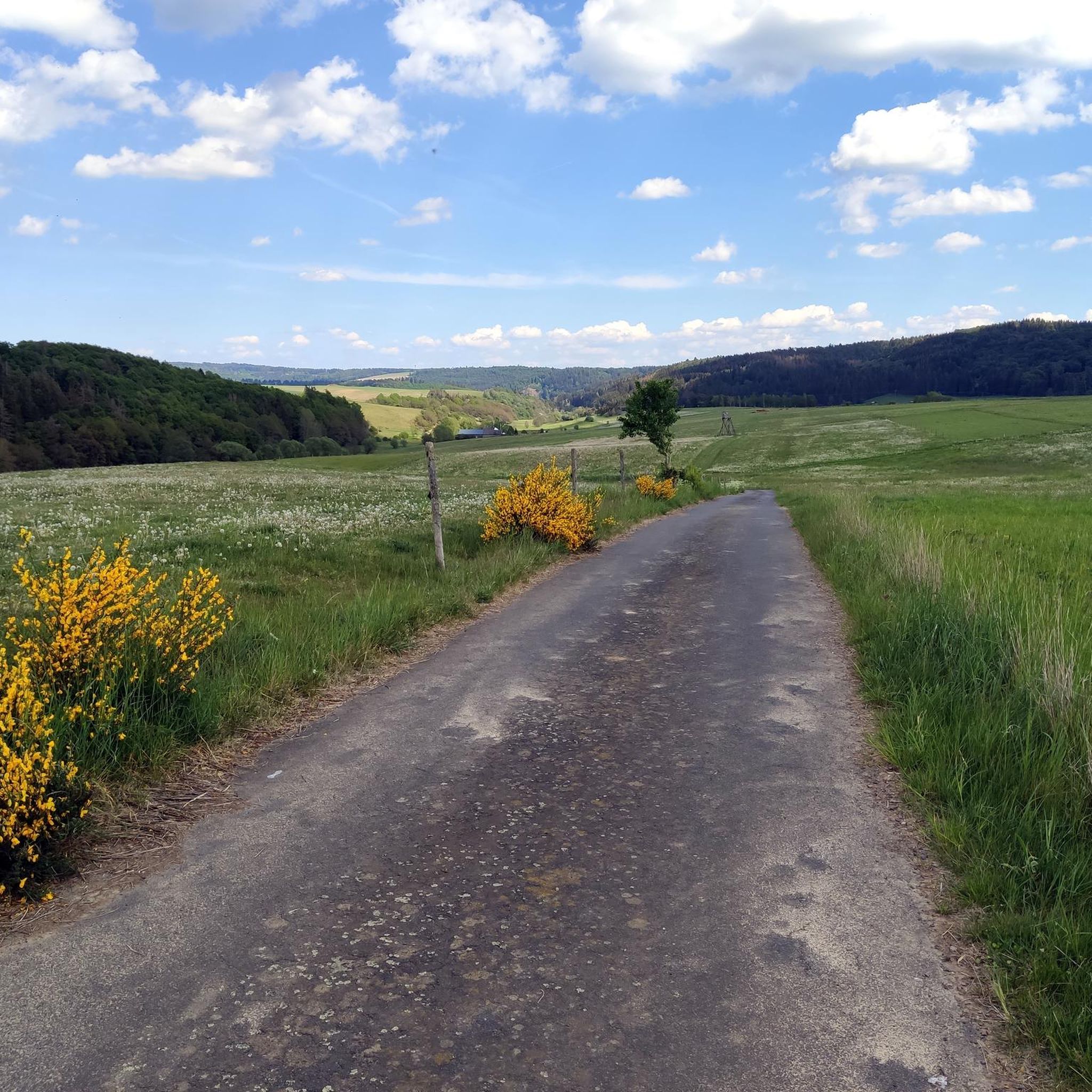
The Booser Doppelmaartour is an Eifel dream trail. It is important that you look in vain for water here, because the two maars are so-called dry maars.
0
0

Here you can spend your holidays on the farm. http://website.meisenthaler-muehle.de
1
0

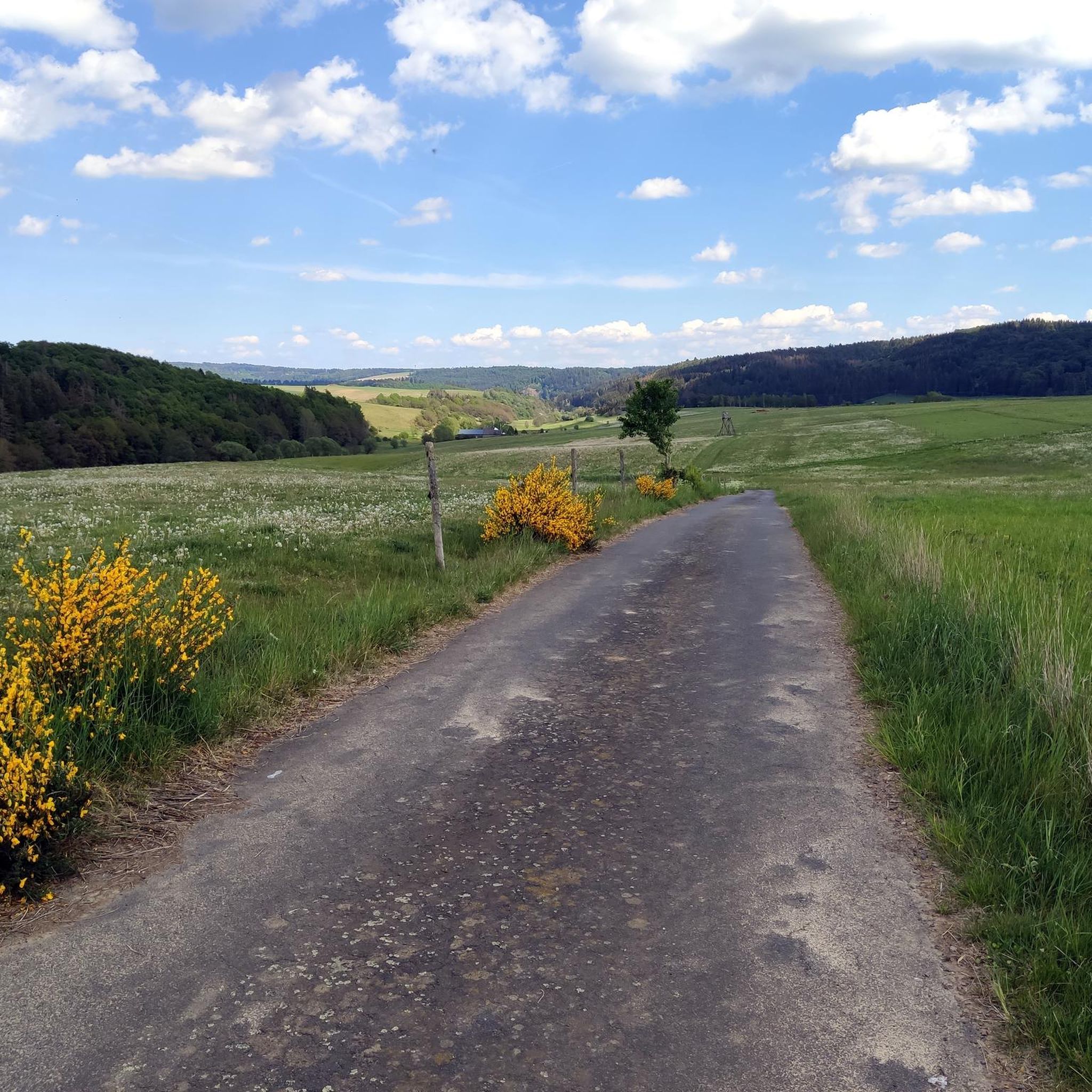
From a wooden bridge there is a wonderful view of the swampy foothills of the rainwater-filled Booser Maar, which is located in the Hohe Acht mountain region and approx. 8 km south of the Hohe Acht. The maar lies in a circular tuff basin, whose tuff walls are covered with swampy meadows and the edge of the bank is overgrown with reeds. Galloways graze in the dry, higher meadows.
1
0
드리스 주변에서 가장 인기 있는 명소


더 살펴보기
드리스 주변에서 완벽한 호수를 아직 못 찾으셨나요? 이 지역의 가이드를 확인하여 더 아름다운 장소를 찾아보세요.
