몬테네그로에서 가장 멋진 20개의 산 정상
몬테네그로의 산 정상에 오르면 이 지역의 아름다운 모습을 제대로 구경할 수 있어요. 다만, 20
곳이나 되는 산 정상 중에서 어떤 곳을 가야 할 지 고민된다는 게 문제죠. 몬테네그로에서 가장 멋진 산 정상을 살펴본 후에 마음에 드는 산 정상을 다음 모험 계획에 추가해보세요.
마지막 업데이트: 9월 15, 2026
로브첸 산의 니예고시 묘소
하이라이트 • 기념물
번역자 Google •
팁에 의해

보보토브 쿠크 정상으로 가는 비아페라타
하이라이트 • 등반
번역자 Google •
팁에 의해

이런 장소를 발견하려면 지금 가입하세요
최고의 싱글 트랙, 봉우리 및 다양한 흥미로운 야외 장소에 대한 추천을 받아보세요.


Crvena Greda 능선, 두르미토르 국립공원
하이라이트 • 정상
팁에 의해

Ćurevac에서 바라본 타라 협곡과 두르미토르 산맥
하이라이트 • 전망대
We hiked with a dog …
팁에 의해

Zla Kolata (2,534m)
하이라이트 • 정상
번역자 Google •
팁에 의해

루미야 정상과 예배당
하이라이트 • 정상
번역자 Google •
팁에 의해

보라 정상 (2106m)
하이라이트 • 정상
번역자 Google •
팁에 의해


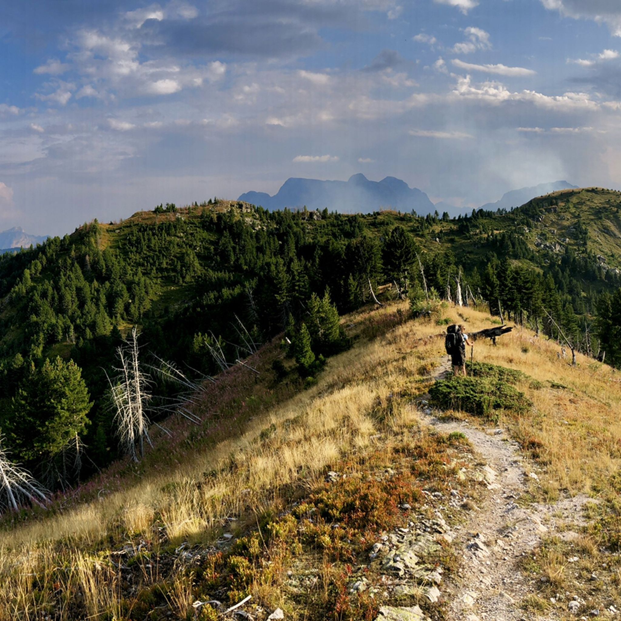
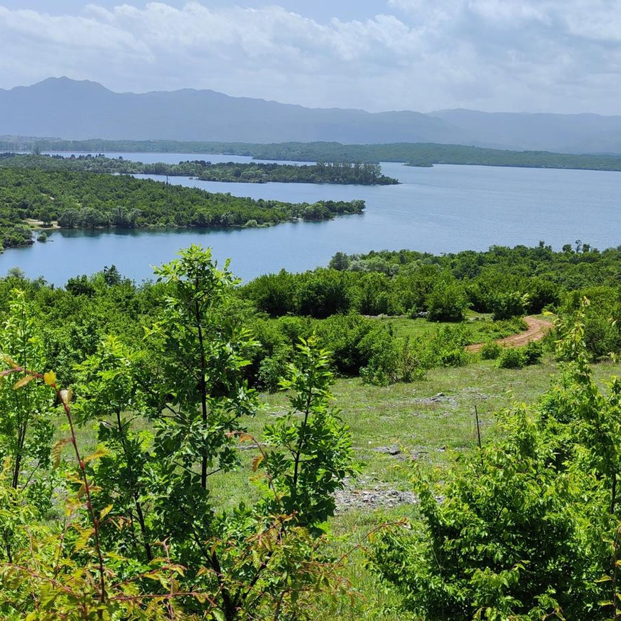
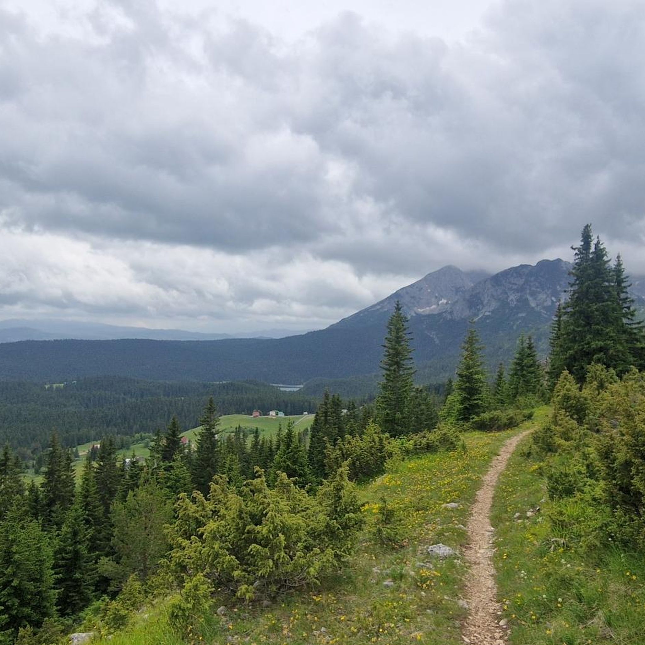



커뮤니티 팁

우리는 전혀 혼자가 아니었지만, 예상했던 것만큼 붐비지도 않았습니다. 그리고 전망은 정말 환상적입니다! 이 멋진 전망을 위해 8유로의 입장료를 지불할 가치가 있습니다.
1
0

정상에서의 멋진 전망! 하지만 서쪽의 Todorov Do에서 오는 경로는 매우 가파르고 좁은 구간과 가파른 절벽이 있어 확실히 어렵습니다. 일부 구간은 등반 경험이 필요하며, 이 길로 하산하는 것은 불가능해 보입니다. 남쪽의 Dobri Do에서 오는 경로는 오르내림 모두 훨씬 더 나은 선택으로 보입니다. Todorov Do 경로는 보통이 아닌 어려움으로 확실히 평가되어야 합니다.
3
0

The accompanying page in the ARD media library for the television series "Treasures of the World – Heritage of Humanity" states: Rugged peaks marked by glaciers and karst formation, high alpine pastures, and primeval forests characterize a mountain landscape in the far north of the Republic of Montenegro: the Durmitor Massif. Nestled in the mountains are glacial lakes and karst gorges, springs and streams, and rivers roar in wild, inaccessible valleys. The name Durmitor likely originates from the Celtic language and means "Mountains of Many Waters." Interested viewers can access the corresponding film via the following link (duration: 15 minutes / language: German) =>> https://www.ardmediathek.de/video/schaetze-der-welt/nationalpark-durmitor-montenegro-folge-367/3sat/Y3JpZDovL3N3ci5kZS82NjM0ODA4
0
0

Not a steep summit, but a rounded knoll at the end of a grassy ridge, yet offering the most beautiful view of the peaks of the Prokletije Mountains! In the center: Kollata (2552 m).
0
0
We just completed this hike in early June. The ascent (via Todorov Do) is very technical and challenging for inexperienced hikers (30/40 degree slope, rocky and unstable terrain, some climbing, etc.). The descent (which is actually the ascent to the summit of the other side, which is another hike - a loop with a lake viewpoint, starting from the Dobri Do parking lot) is much simpler. Note that the end of the hike in the plain to return to the car is not at all signposted, the path is not easily visible, and the GPS track does not always match; you are mostly off-piste.
3
3

Beware of clouds and wind which greatly change the difficulty
0
1

The highest peak in Montenegro. When you're there, you can really enjoy the view and the nature. In my case, there weren't many people on the way and it was quiet. I don't find the route strenuous. Only the last hour requires a bit of climbing and walking on steep rocks. In wet weather, there are places that could be slippery and dangerous.
7
0
The ascent via Todorov do is difficult, scree then climbing passages follow one another before reaching the summit. We left the road which comes from Zabljak a few kilometers before this departure. It joins hill 2100, Prutaski do, and the path which goes up to Prutas. This route is much easier. On the other hand, we went down the path that leads to Todorov do. Very uneven route, but which is done with great attention and caution. Around 4h30 with breaks.
2
1


더 살펴보기
이 가이드를 통해 몬테네그로의 더 놀라운 정상들을 확인해보세요:
