티미스터-클레르몽에서 가장 멋진 7개의 산 정상
티미스터-클레르몽의 산 정상에 오르면 이 지역의 아름다운 모습을 제대로 구경할 수 있어요. 다만, 7
곳이나 되는 산 정상 중에서 어떤 곳을 가야 할 지 고민된다는 게 문제죠. 티미스터-클레르몽에서 가장 멋진 산 정상을 살펴본 후에 마음에 드는 산 정상을 다음 모험 계획에 추가해보세요.
마지막 업데이트: 9월 13, 2026
Vaalserberg 오르막 (Route des Trois Bornes 경유)
하이라이트 (구간) • 등반
번역자 Google •
팁에 의해

하켄베르흐 - 252m
하이라이트 • 정상
번역자 Google •
팁에 의해

이런 장소를 발견하려면 지금 가입하세요
최고의 싱글 트랙, 봉우리 및 다양한 흥미로운 야외 장소에 대한 추천을 받아보세요.
Kattenroth 정상 (209m)
하이라이트 • 정상
번역자 Google •
팁에 의해

발디외에서 시작하는 코트 데 와이드
하이라이트 (구간) • 등반
Nice climb over good and bad asphalt. And a tough last 500 meters.
번역자 Google •
팁에 의해

Voeren(푸롱) 자전거길
하이라이트 (구간) • 자전거 도로
번역자 Google •
팁에 의해

무료로 가입하여 티미스터-클레르몽 주변의 더 많은 봉우리를 발견하세요.
이미 komoot 계정이 있나요?
오늘 무료 계정으로 시작하세요
다음 모험이 기다리고 있어요.

커뮤니티 팁


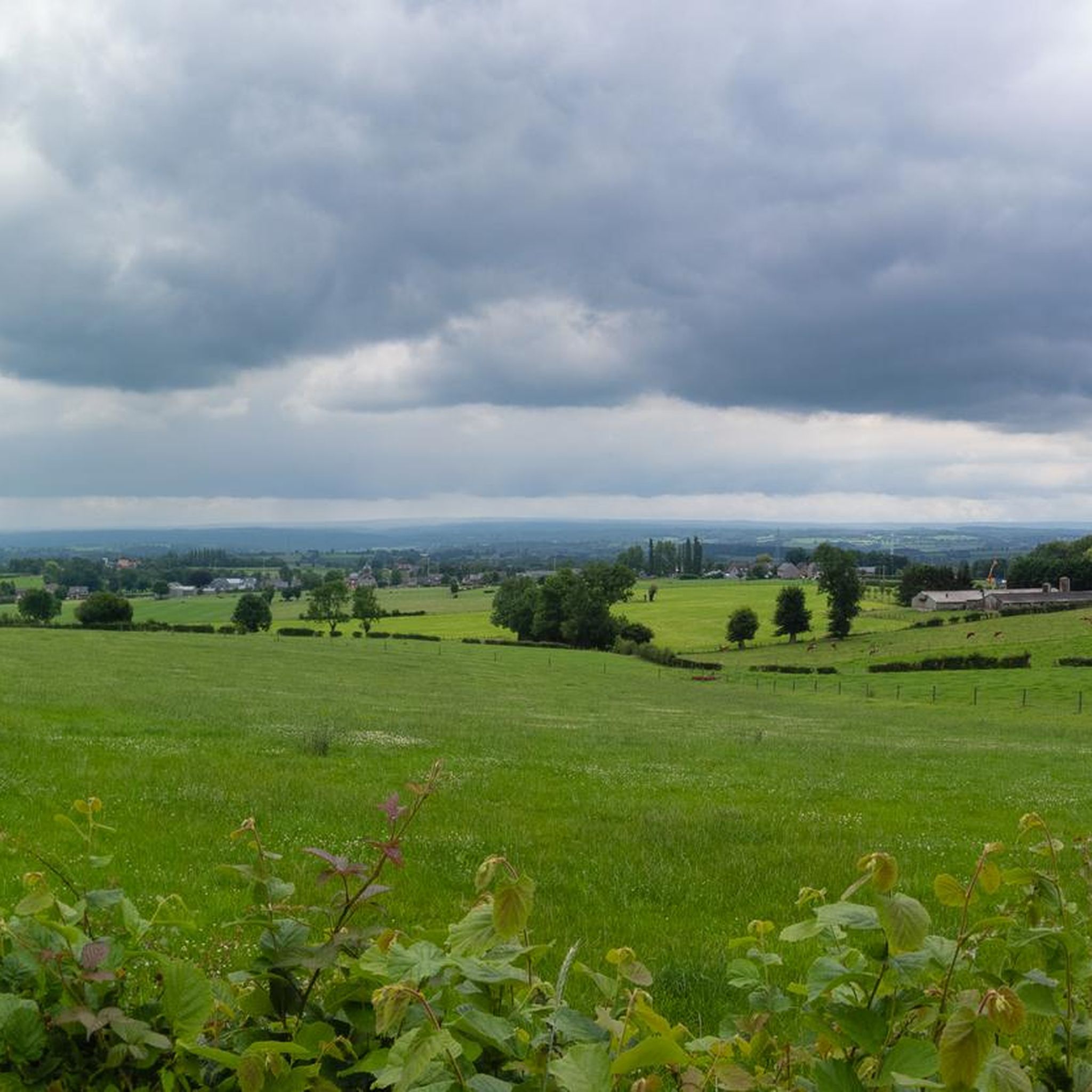
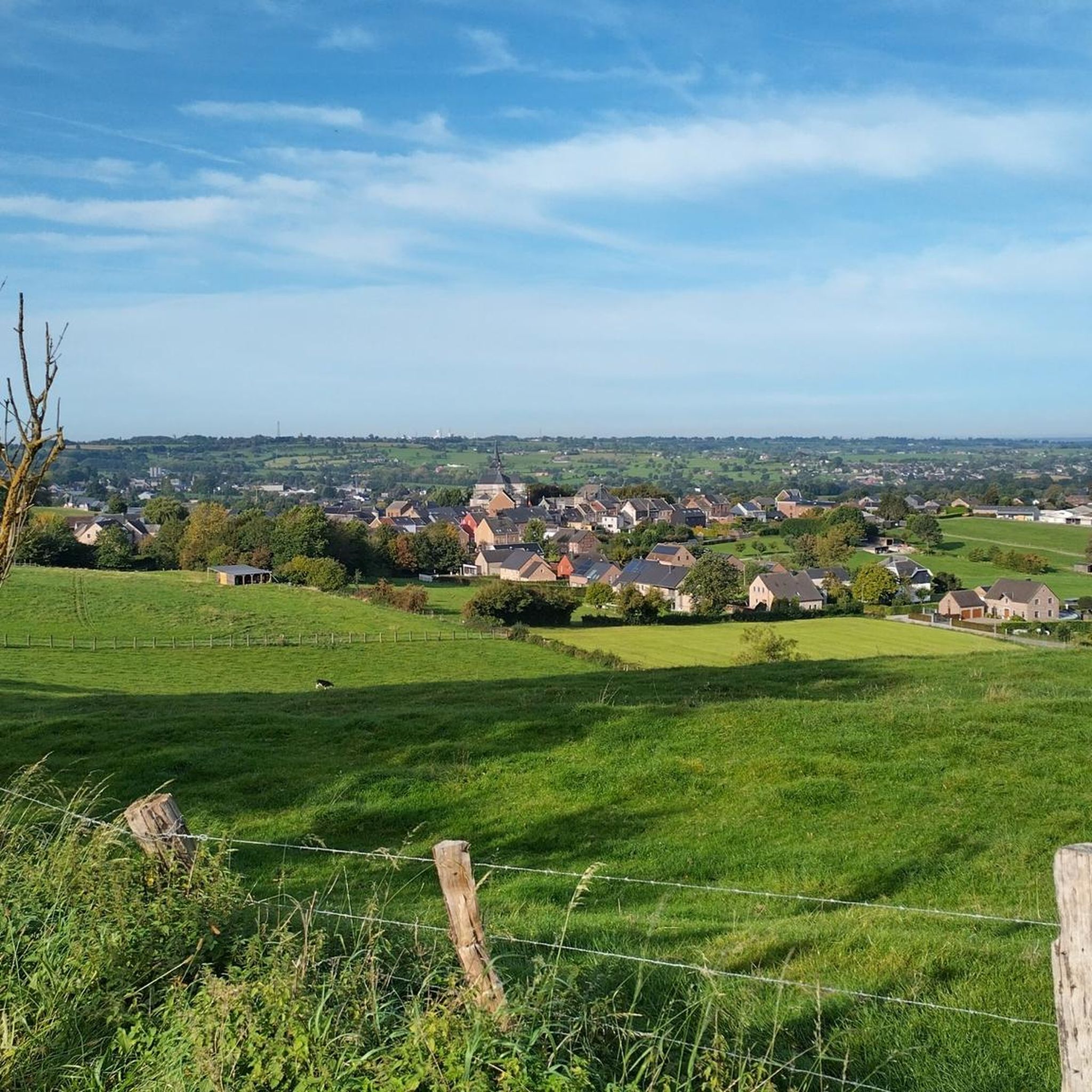
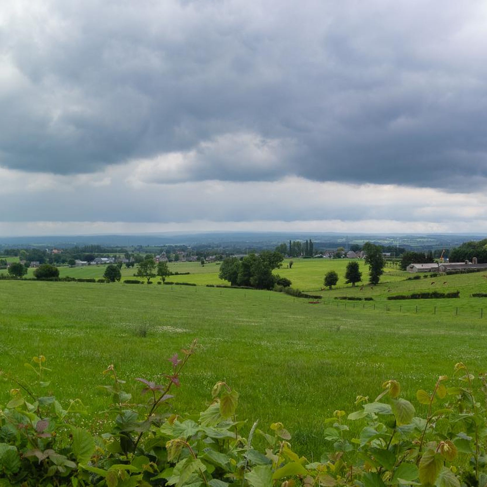
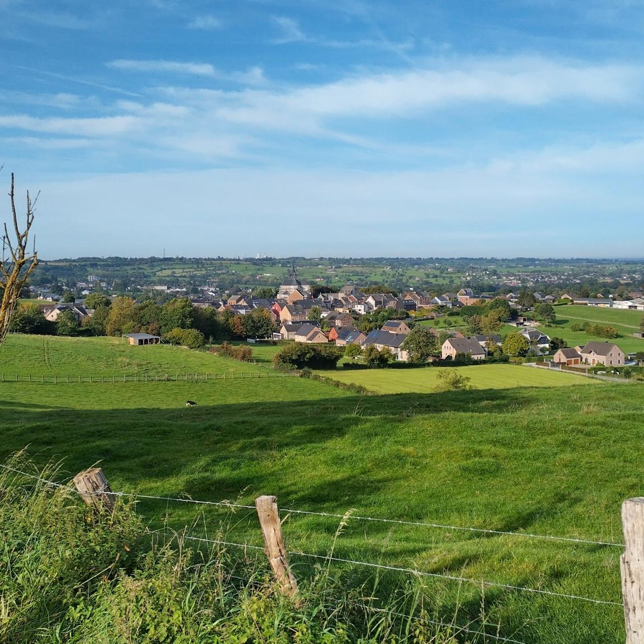
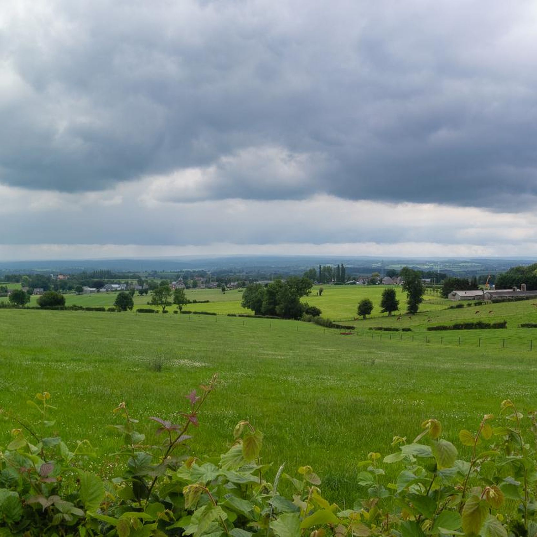
At 209 meters above sea level, the Kattenroth is one of the highest points in the Voer region. From the summit, you have a panoramic view of the rolling Limburg hills, the surrounding meadows, forest edges, and picturesque villages such as Sint-Martens-Voeren and Ulvend. The hill is popular with hikers and nature lovers because the area offers a combination of tranquility and beautiful vistas. Along the paths, you'll encounter wooded banks, old field paths, and the occasional field cross, adding to the charm of this landscape. The Kattenroth is not only a place for views and relaxation but also a landmark in the Voeren landscape.
3
0
The Hakkenberg is one of the higher points in the Limburg hills, at an altitude of 252 meters. From here, you have a beautiful view of the surrounding rolling fields, forests, and villages that reflect the character of South Limburg.
2
0

The highest point of Kattenrothberg is 209 meters. It lies between the Netherlands (Noorbeek) and Belgium (Sint-Maartens Voeren). Info: https://www.peakbagger.com/peak.aspx?pid=-138260
3
0

Or a nice descent (depending on which direction you come from)
1
0
Here you can walk (coming from the right direction)
1
0
티미스터-클레르몽 주변에서 가장 인기 있는 명소


더 살펴보기
이 가이드를 통해 티미스터-클레르몽 주변의 더 놀라운 정상들을 확인해보세요:
