20의 솜가지 명소 & 주요 장소
솜에는 둘러볼 만한 장소가 많답니다. 하이킹 또는 사이클링을 좋아한다면 솜에 숨겨진 20
가지 보석을 만날 수 있을 거예요. 이 지역의 주요 명소를 살펴보면서 다음 모험을 계획해보세요.
마지막 업데이트: 8월 30, 2026
솜므 만의 흰색 경로
하이라이트 (구간) • 자전거 도로
번역문 보기
팁에 의해


이런 장소를 발견하려면 지금 가입하세요
최고의 싱글 트랙, 봉우리 및 다양한 흥미로운 야외 장소에 대한 추천을 받아보세요.
무료 회원 가입

메르 레 뱅 벨 에포크 양식의 집
하이라이트 • 역사적 장소
번역문 보기
팁에 의해

Hourdel 블록하우스
하이라이트 • 구조물
번역문 보기
팁에 의해

생 마르탱 교회
하이라이트 • 기타
번역자 Google •
팁에 의해
노트르담 드 아미앵 대성당
하이라이트 • 역사적 장소
The cathedrals of Chartres, Reims and Notre-Dame de Paris are also among these marvelous religious buildings …
번역자 Google •
팁에 의해
블록하우스 뒤 우르델
하이라이트 • 기념물
번역자 Google •
팁에 의해

무료로 가입하여 솜의 더 많은 명소를 발견하세요.
무료 회원 가입
이미 komoot 계정이 있나요?
오늘 무료 계정으로 시작하세요
다음 모험이 기다리고 있어요.
로그인 또는 가입하기
솜 주변 인기 장소
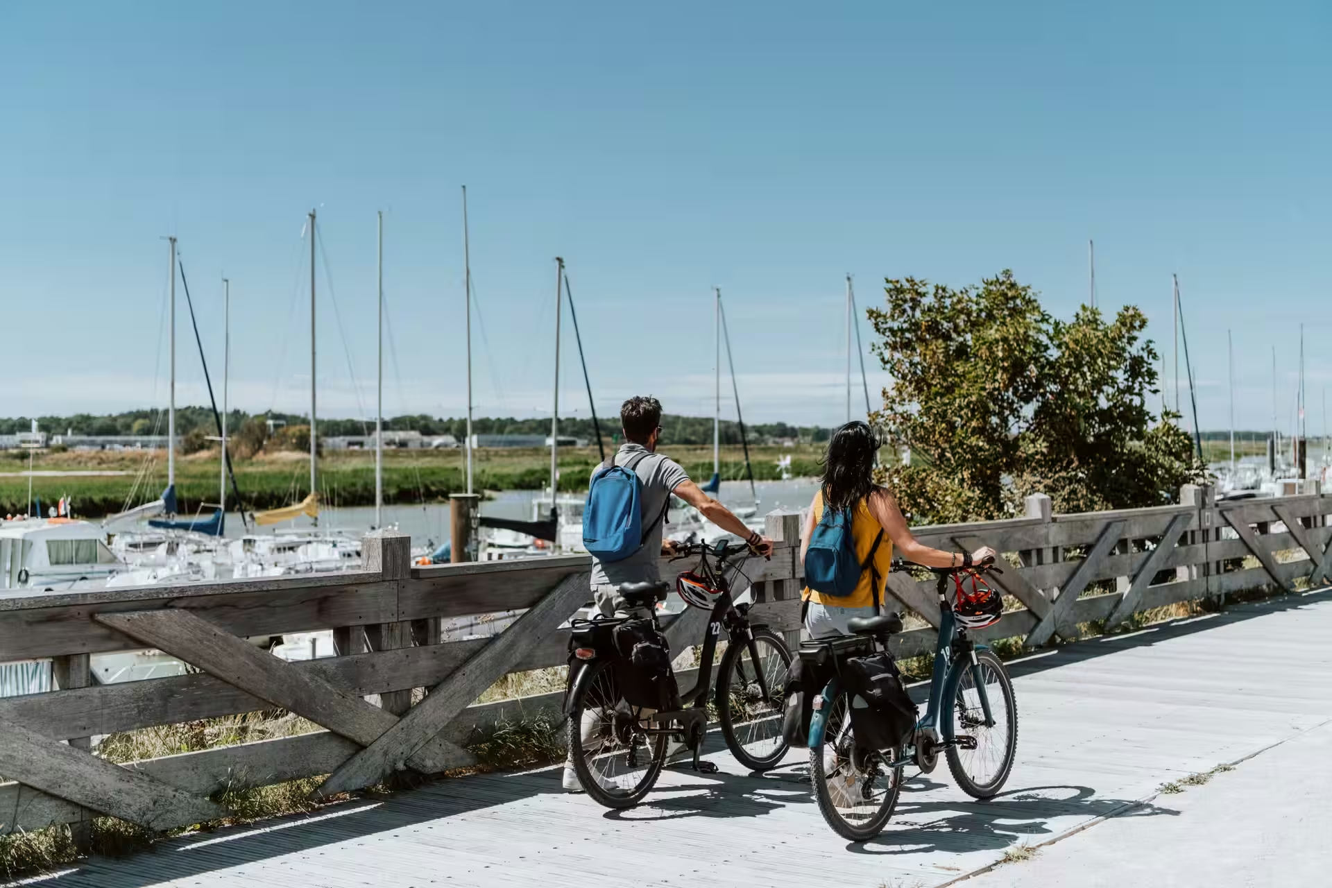
Routes in Hauts-de-France for cycling enthusiasts
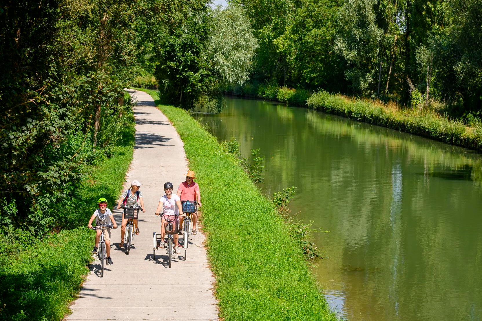
Cycling routes in Hauts-de-France for beginners and families
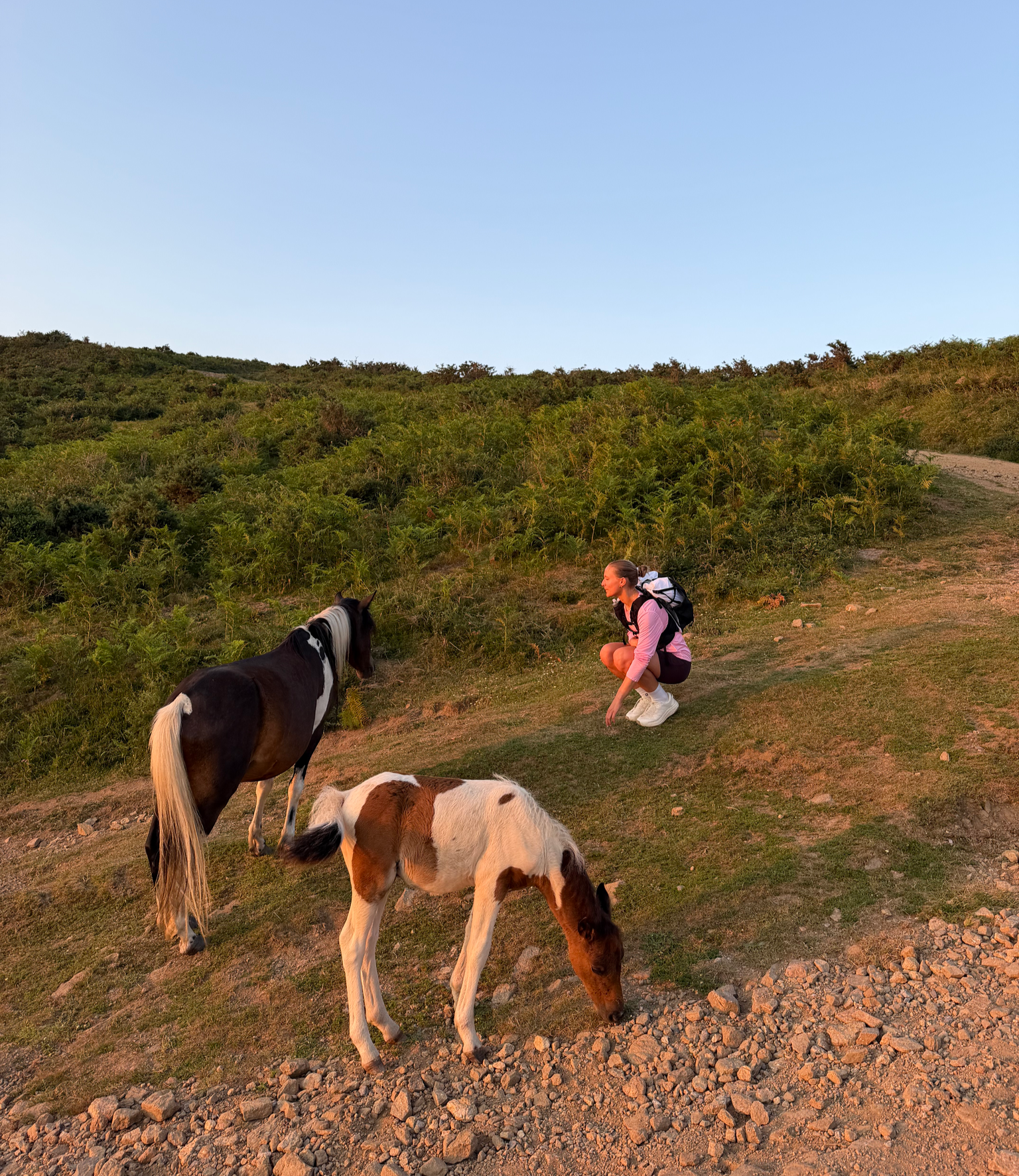
France’s Best Sunrise & Sunset Hikes
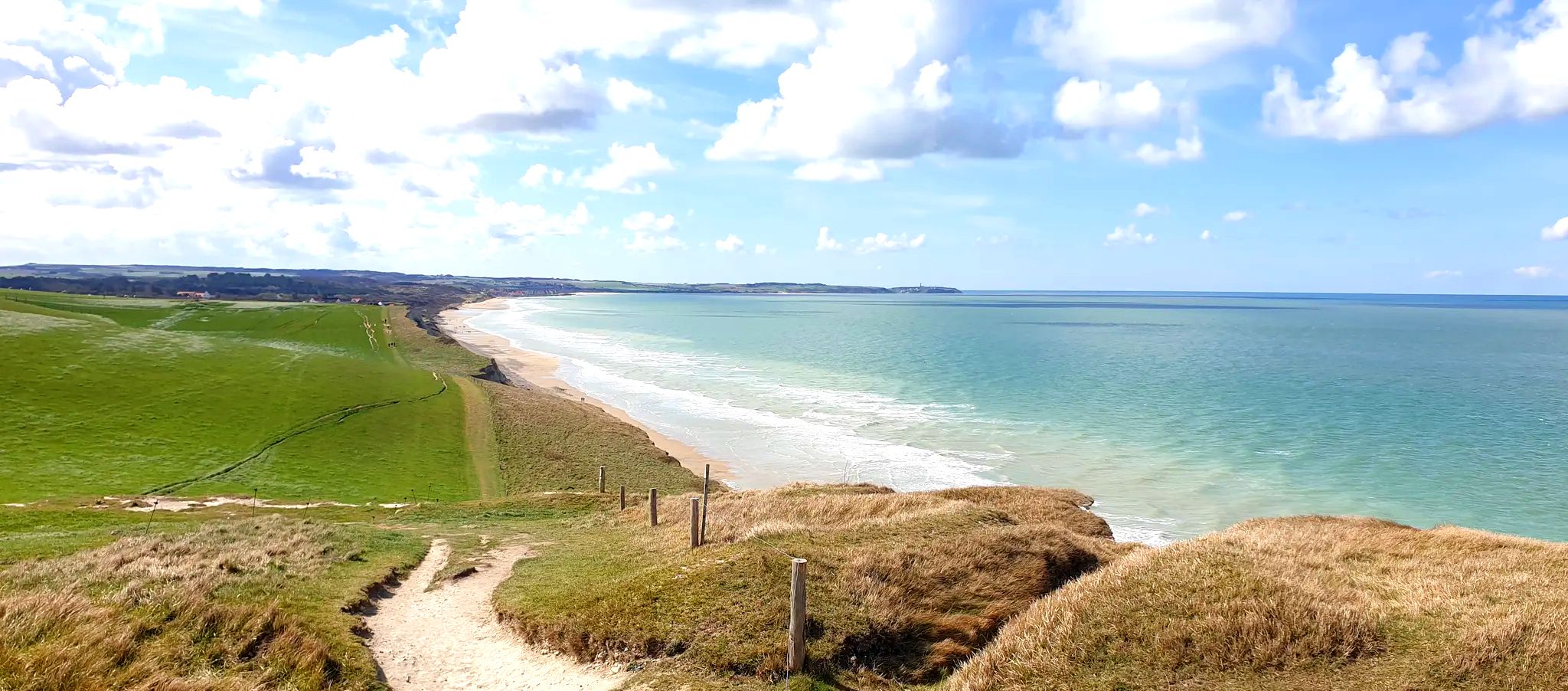
플랑드르에서 솜멜로 - GR 120 해안 트레일
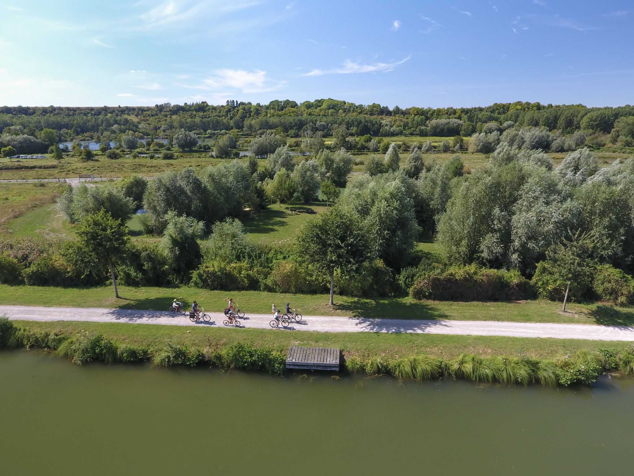
강을 따라 — 솜 계곡 자전거 도로 V30
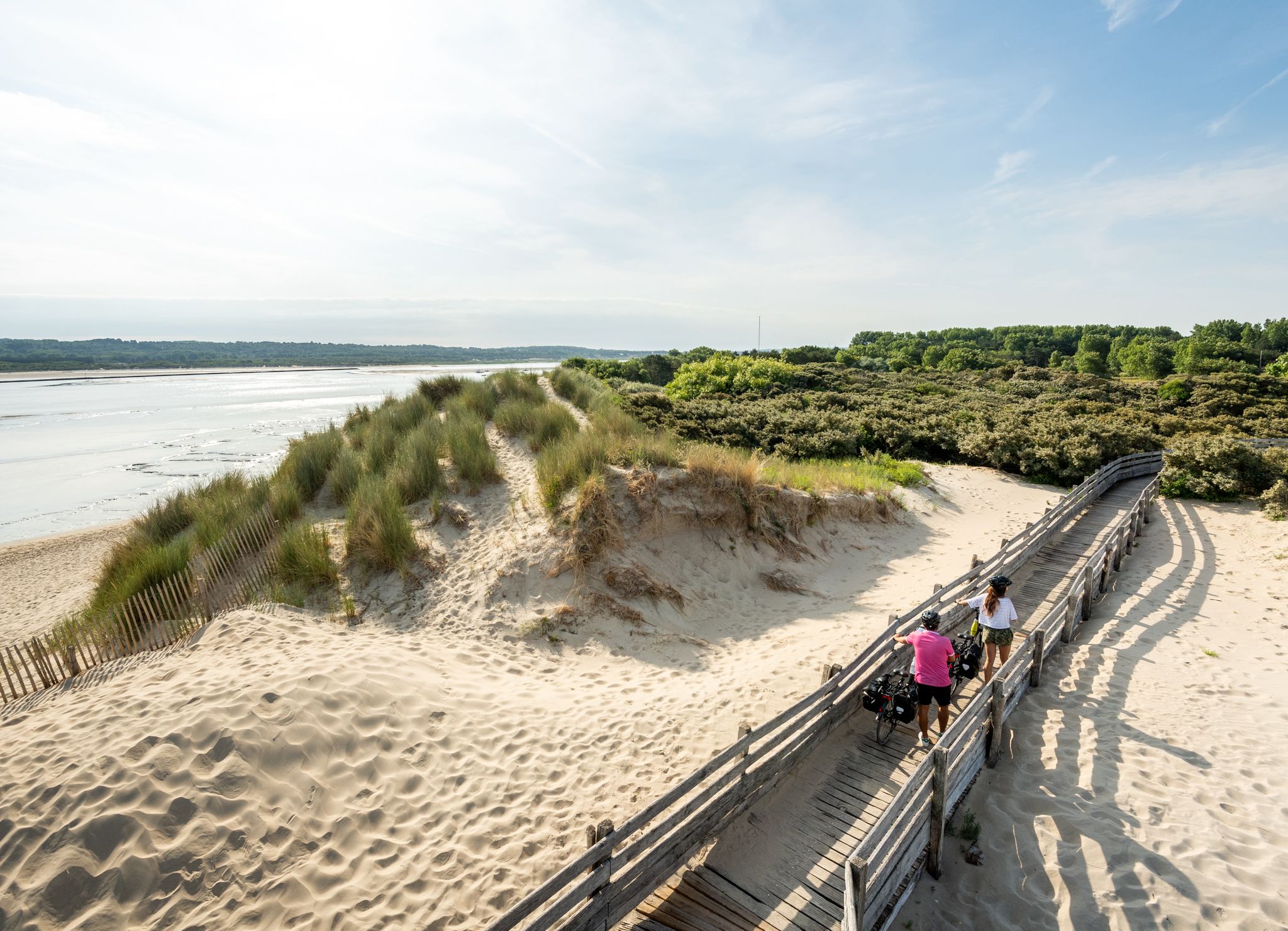
La Vélomaritime — 5 jours dans le Pas-de-Calais
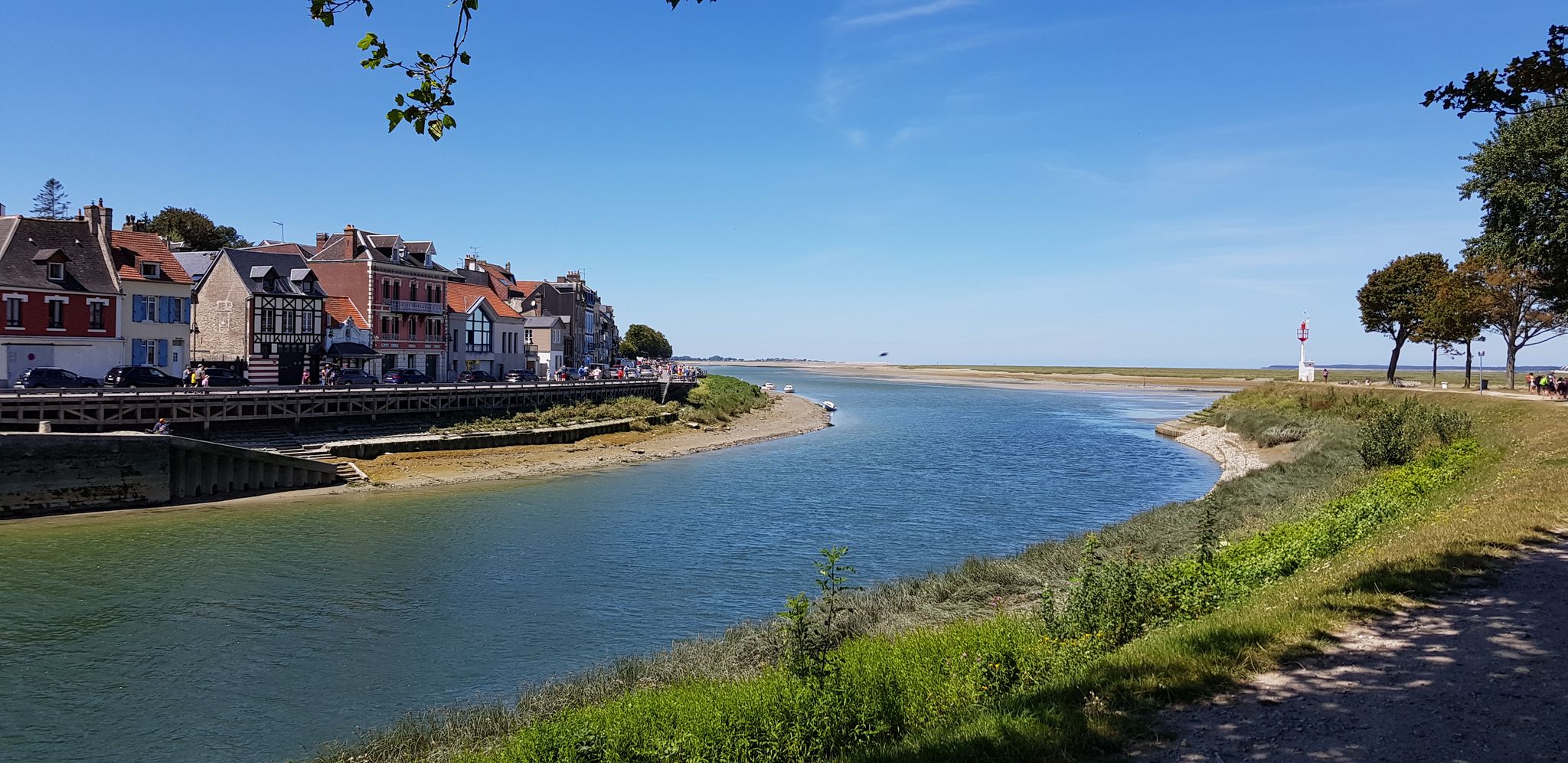
포리니다 화를 일스타일 지원일 스타일 제목 시작
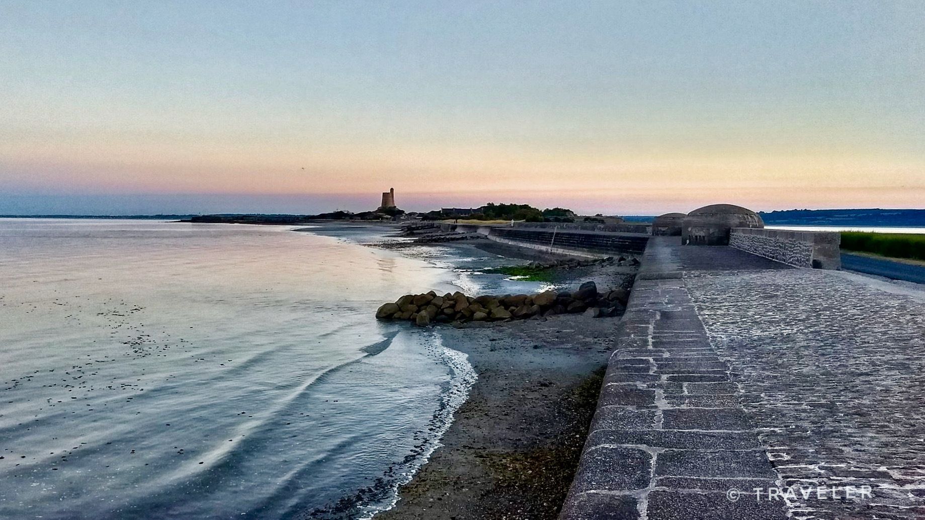
핑크 그라나이트에서 오팔 해안까지 - 프랑스의 la Vélomaritime를 자전거로 타세요
솜 하이킹
솜 사이클링
솜의 다른 모험


커뮤니티 팁


The traces of the Second World War are still omnipresent, even after 80 years.
0
0

The current church, built in 1928 in the Romanesque-Byzantine style, is located in the oldest quarter of the city. It has a Latin cross plan, oriented northwest and southwest. The roof is slate, and the nave is covered with long sides and open gables. It features flamboyant stained-glass windows, a listed 17th-century altarpiece, and a Saint Martin's effigy.
0
0

Hourdel Lighthouse is a lighthouse on the common Cayeux-sur-Mer, it is built on the south side of the Bay of Somme, at the end of the point of Hourdel.
4
0

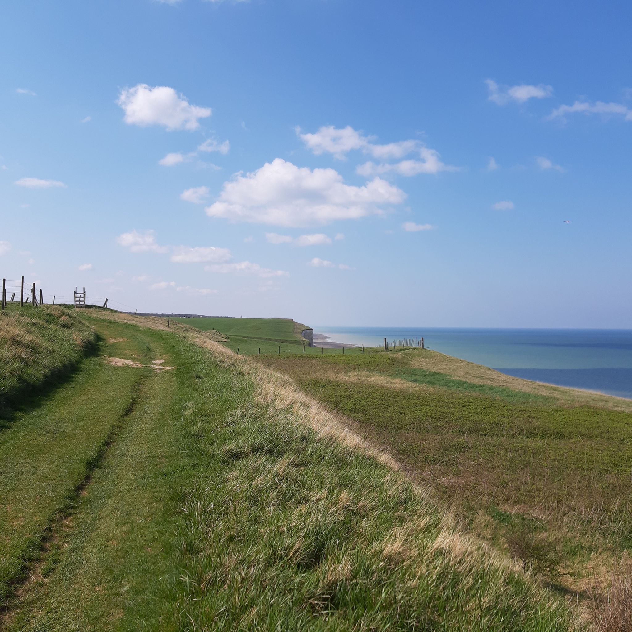
The cliffs are made of chalk and are impressive to look at.
3
0
The church is located in the oldest part of the city. From here, you can enjoy a magnificent view of the city.
4
0
Walk along the canal, enjoy the view from the benches
6
0

The cliffs around the beach of Ault are composed of chalk from the Upper Cretaceous, more precisely from the Turonian and Coniacian (around 83 million years ago to 90 million years ago). They are strewn with flint nodules which highlight the subhorizontal stratification planes (the formation of flint has already been discussed in Discovery of the geology of the cliffs of Étretat, presentation of an excursion from the beach of Tilleul (Antifer) to the Porte d'Amont (Étretat Nord)). The relative proportion of chalk and flint is around 90-95% chalk to 5-10% flint. Flint horizons are stratigraphic markers. On the cliffs of Ault, the regular flint band called Seven Sisters is recognizable and characterizes the boundary between the Middle Coniacian and the Upper Coniacian (around 87 million years ago). The boundary between the lower and middle Coniacian is marked by the Shoreham 2 marl level, which is more difficult to identify. These lithostratigraphic markings allow in particular the correlation of distant deposits, such as between the Normandy and Picardy coasts, or between the French and English coasts.
2
0
솜에서 가장 인기 있는 명소


더 살펴보기
찾고 있는 하이라이트를 아직 못 찾으셨나요? 다른 지역의 주요 명소 가이드를 확인해보세요:
