시브리 쉬르 뫼즈 최고의 MTB 라이딩 경로
5.0
(3)
17
자전거 타는 사람
7
라이딩
시브리쉬르뫼즈(Sivry-Sur-Meuse)의 산악자전거 코스는 아르덴(Ardennes) 지역과 접경하는 뫼즈(Meuse) 계곡에 자리 잡고 있으며, 야외 활동을 위한 다양한 풍경을 제공합니다. 이 지역은 광활한 숲과 아름다운 뫼즈 강이 특징이며, 산악자전거를 타기에 다양한 지형을 제공합니다. 언덕 지형과 울창한 숲이 이 지역을 특징지으며, 도전적인 오르막과 짜릿한 내리막 모두를 위한 기회를 만듭니다. 이러한 자연 환경은 두 바퀴로 탐험하기에 적합합니다.
시브리쉬르뫼즈 주변 최고의 산악자전거 코스
마지막 업데이트: 10월 7, 2026
5.0
(2)
8
자전거 타는 사람
30.1km
01:54
60m
60m
초급용 산악자전거 라이딩. 모든 체력 수준에 적합. 실력과 관계없이 누구나 갈 수 있음.
1
자전거 타는 사람
19.4km
01:40
360m
360m
보통 산악 자전거 타기. 좋은 체력 필요. 실력과 관계없이 누구나 갈 수 있음.

1
자전거 타는 사람
48.0km
03:43
680m
680m
어려운 산악 자전거 타기. 좋은 체력 필요. 뛰어난 라이딩 실력이 필요함. 투어 중 자전거를 끌고 가야 하는 구간이 있을 수 있음.
5.0
(1)
3
자전거 타는 사람
40.9km
03:12
540m
540m
보통 산악 자전거 타기. 좋은 체력 필요. 뛰어난 라이딩 실력이 필요함.
1
자전거 타는 사람
41.6km
03:01
340m
340m
보통 산악 자전거 타기. 좋은 체력 필요. 실력과 관계없이 누구나 갈 수 있음.
더 다양한 경로와 다른 탐험가들의 추천을 살펴보세요.
이미 komoot 계정이 있나요?
투어 추천은 다른 사람들이 komoot에서 완료한 수천 개의 활동을 바탕으로 구성되어 있습니다.
오늘 무료 계정으로 시작하세요
다음 모험이 기다리고 있어요.



커뮤니티 팁

Tussen Bras-sur-Meuse in Vacherauville
0
0

Nice gravel along the Maas side. You will find here now and then a bank and now and then a lock. Also striking how much higher the water of the canal is compared to the water of the stream.
5
1
The Ossuary of Douaumont is an impressive memorial that holds the remains of more than 130,000 unknown French and German soldiers who died during the Battle of Verdun (1916). The bones are visible through small windows in the base – a confronting reminder of the horrors of war. In front of the ossuary is the Nécropole nationale de Douaumont, the largest French military cemetery of the First World War, with 16,142 graves, including a Muslim and Jewish plot. The complex was recognized as a UNESCO World Heritage Site in 2023.
8
0
The Mémorial de Verdun, located near the ruined village of Fleury-devant-Douaumont, is a leading museum and commemoration site for the Battle of Verdun (1916). The museum displays more than 2,000 objects and uses authentic objects, photographs and audiovisual installations to show how French and German soldiers experienced this battle – in the exact same place where they fought.
8
3

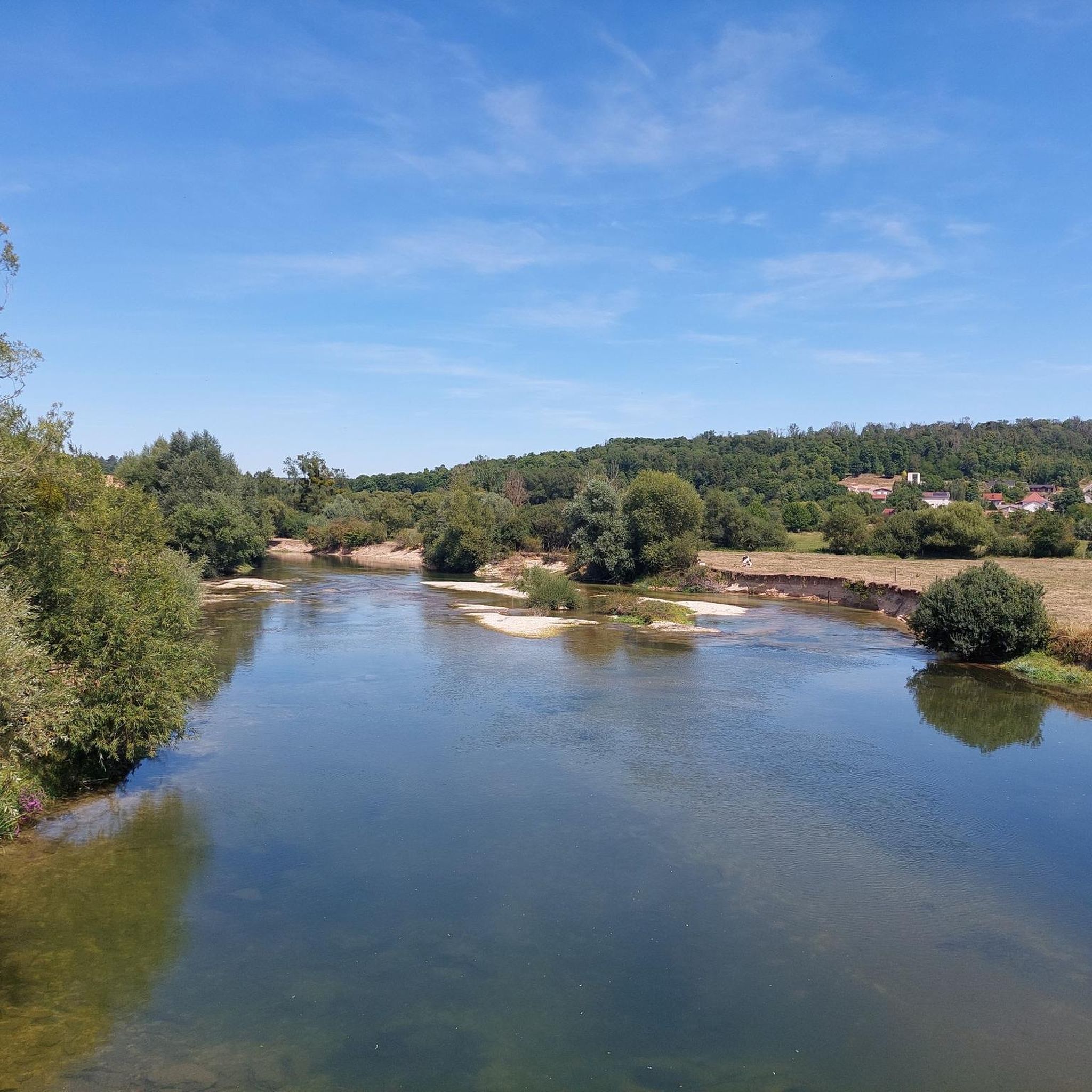
The Maas Canal, with its pleasant relaxing gravel strips, is the guideline for enjoying a peaceful landscape.
5
1
At this location on the waterfront of the Maas Canal you have a beautiful view of the village of Champneuville with its special church tower without a spire.
3
0

Take a moment to pause between the ossuary and this stone garden; tranquility reigns here. Don't forget to thank our brave soldiers for their ultimate sacrifice.
1
0

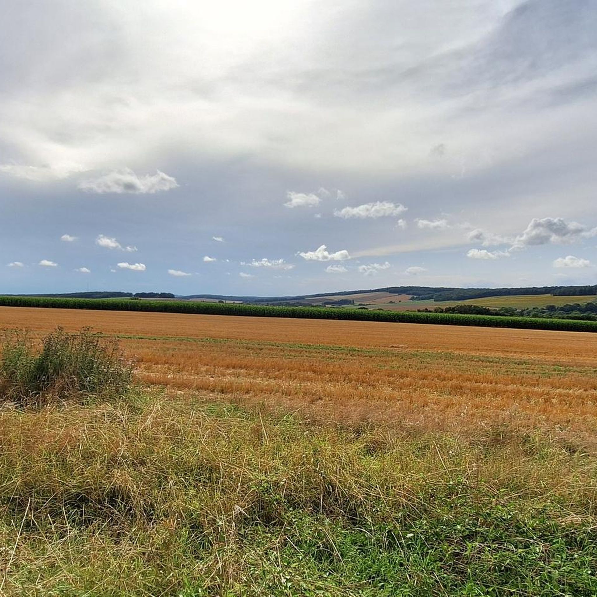
A landscape marked by the madness of destruction and even scarred by WW1
1
0
자주 묻는 질문
Sivry-sur-Meuse 주변에서 산악 자전거를 탈 때 어떤 종류의 지형을 예상할 수 있나요?
이 지역은 그림 같은 뫼즈 강 계곡과 광활한 아르덴 숲으로 특징지어지는 다양한 풍경을 제공합니다. 언덕 지형, 울창한 숲, 포장된 구간과 비포장 구간을 포함한 다양한 지형을 만나게 될 것이며, 도전적인 오르막과 짜릿한 내리막을 경험할 기회를 제공합니다.
Sivry-sur-Meuse에 초보자에게 적합한 산악 자전거 코스가 있나요?
이 지역은 다양한 지형으로 유명하지만, 대부분의 코스는 보통에서 어려운 수준입니다. 뫼즈 강 계곡을 탐험하는 보통 수준의 경험을 원하시면, 약 30km 길이의 Brabant-sur-Meuse 출발 산악 자전거 루프를 고려해 보세요. 또 다른 보통 수준의 옵션은 약 19km를 커버하는 Fontaines-Saint-Clair 출발 Menhir dit la Hotte du Diable 루프입니다.
이 지역에서 더 길거나 더 도전적인 산악 자전거 코스는 무엇이 있나요?
도전을 추구하는 숙련된 산악 자전거 이용자들을 위해 이 지역은 여러 어려운 코스를 제공합니다. Beaumont-en-Verdunois 출발 Douaumont Ossuary – La Ferme de Thiaumont 루프는 상당한 고도 변화가 있는 38km 길이의 힘든 코스입니다. 또 다른 도전적인 옵션은 약 48km에 달하는 Lissey 출발 Au Cornillat 루프입니다.
Sivry-sur-Meuse의 산악 자전거 코스를 따라 무엇을 볼 수 있나요?
많은 코스가 역사적 랜드마크와 자연적 특징을 지나갑니다. Cumières-le-Mort-Homme와 Mort-Homme 기념비와 같은 장소를 탐험할 수 있으며, 야외 활동과 역사적 성찰을 결합한 경험을 제공합니다. 뫼즈 운하를 따라가는 자전거 도로 또한 아름다운 경치를 제공합니다.
순환 산악 자전거 코스가 있나요?
네, Sivry-sur-Meuse 지역의 많은 산악 자전거 코스는 루프 형태로 설계되었습니다. 예를 들어 Brabant-sur-Meuse 출발 산악 자전거 루프와 Fontaines-Saint-Clair 출발 Menhir dit la Hotte du Diable 루프가 있으며, 같은 지점에서 시작하고 끝낼 수 있습니다.
Sivry-sur-Meuse에서 산악 자전거를 타기 가장 좋은 시기는 언제인가요?
이 광범위한 지역에서 산악 자전거를 타기 가장 좋은 계절은 일반적으로 봄(4월-5월)과 가을(9월-11월)입니다. 이 기간은 야외 활동에 이상적인 온화한 기온을 제공하며, 뫼즈 강 계곡과 아르덴 숲의 자연 경관이 특히 아름답습니다.
다른 산악 자전거 이용자들은 Sivry-sur-Meuse에서의 산악 자전거 타기에 대해 가장 무엇을 즐기나요?
이 지역은 komoot 커뮤니티에서 평균 별점 5.0점으로 매우 높은 평가를 받고 있습니다. 리뷰어들은 종종 다양한 지형, 울창한 숲, 그리고 그림 같은 뫼즈 강 계곡을 칭찬하며, 이 모든 것이 산악 자전거 이용자들에게 매력적이고 다채로운 경험을 선사합니다.
특별히 주목할 만한 자연 지형이나 전망대가 있나요?
뫼즈 강 자체는 중심적인 자연 특징으로, 강둑을 따라 그림 같은 코스를 제공합니다. 아르덴 숲은 울창한 환경과 구불구불한 언덕을 제공하며, 다양한 지형과 자연의 아름다움에 기여합니다. 특정 전망대가 자세히 설명되어 있지는 않지만, 이 지역 전반의 언덕 지형은 자연스럽게 주변 풍경의 높은 곳에서의 시야를 제공합니다.
Sivry-sur-Meuse에 산악 자전거 코스가 몇 개 있나요?
Sivry-sur-Meuse 지역에는 8개의 산악 자전거 코스가 있으며, 보통에서 어려운 수준까지 다양한 기술 수준을 만족시킵니다.
Sivry-sur-Meuse 외에 근처에 다른 야외 활동이나 명소가 있나요?
네, 산악 자전거 외에도 이 지역은 다른 야외 활동을 제공합니다. Sivry-sur-Meuse에 있는 Forêt'vasion parc de loisirs accrobranche는 야외 레저 공원 경험을 제공합니다. 근처에는 Fumay의 Terraltitude와 같은 어드벤처 파크에서 나무 위 모험과 짚라인을 즐길 수 있으며, Agimont Adventure는 페인트볼과 트리 클라이밍과 같은 활동을 제공합니다. Saint-Rouin Hermitage는 숲과 언덕 꼭대기의 전망을 제공합니다.
더 넓은 아르덴 지역의 산악 자전거 타기에 대한 더 많은 정보는 어디에서 찾을 수 있나요?
더 넓은 아르덴 지역의 산악 자전거 기회에 대한 자세한 정보와 잘 표시된 광범위한 코스 네트워크를 포함하여, Visit Ardenne 웹사이트를 방문할 수 있습니다.
시브리 쉬르 뫼즈 주변에서 가장 인기 있는 명소


더 살펴보기
다른 지역의 최고의 MTB 트레일를 살펴보세요.
