불포드 최고의 러닝 경로
4.8
(13)
1,164
달리기 하는 사람
18
러닝
불포드에서 하이킹하며 사우스 웨스트 잉글랜드 구석 부분까지 살펴볼까요? 불포드에 있는 모든 하이킹 및 워킹 경로 컬렉션 중 가장 멋진 하이킹 경로를 엄선하여 소개해드릴게요. 다른 하이커가 공유한 실제 팁과 사진을 살펴보고 후기를 읽으며 마음에 드는 불포드 워킹 경로를 찾아보세요.
마지막 업데이트: 10월 16, 2026
78
달리기 하는 사람
12.1km
01:20
140m
140m
보통 조깅. 좋은 체력 필요. 대부분 포장된 지면. 실력과 관계없이 누구나 갈 수 있음.
14
달리기 하는 사람
7.48km
00:47
60m
60m
보통 조깅. 좋은 체력 필요. 대부분 포장된 지면. 실력과 관계없이 누구나 갈 수 있음.

13
달리기 하는 사람
10.7km
01:13
130m
130m
보통 조깅. 좋은 체력 필요. 대부분 포장된 지면. 실력과 관계없이 누구나 갈 수 있음.
9
달리기 하는 사람
3.90km
00:25
30m
30m
초급용 러닝. 모든 체력 수준에 적합. 대부분 포장된 지면. 실력과 관계없이 누구나 갈 수 있음.
4
달리기 하는 사람
20.3km
02:16
180m
180m
어려운 조깅. 우수한 체력 필요. 대부분 포장된 지면. 실력과 관계없이 누구나 갈 수 있음.
더 다양한 경로와 다른 탐험가들의 추천을 살펴보세요.
이미 komoot 계정이 있나요?
투어 추천은 다른 사람들이 komoot에서 완료한 수천 개의 활동을 바탕으로 구성되어 있습니다.
오늘 무료 계정으로 시작하세요
다음 모험이 기다리고 있어요.

불포드 주변의 다른 모험

커뮤니티 팁

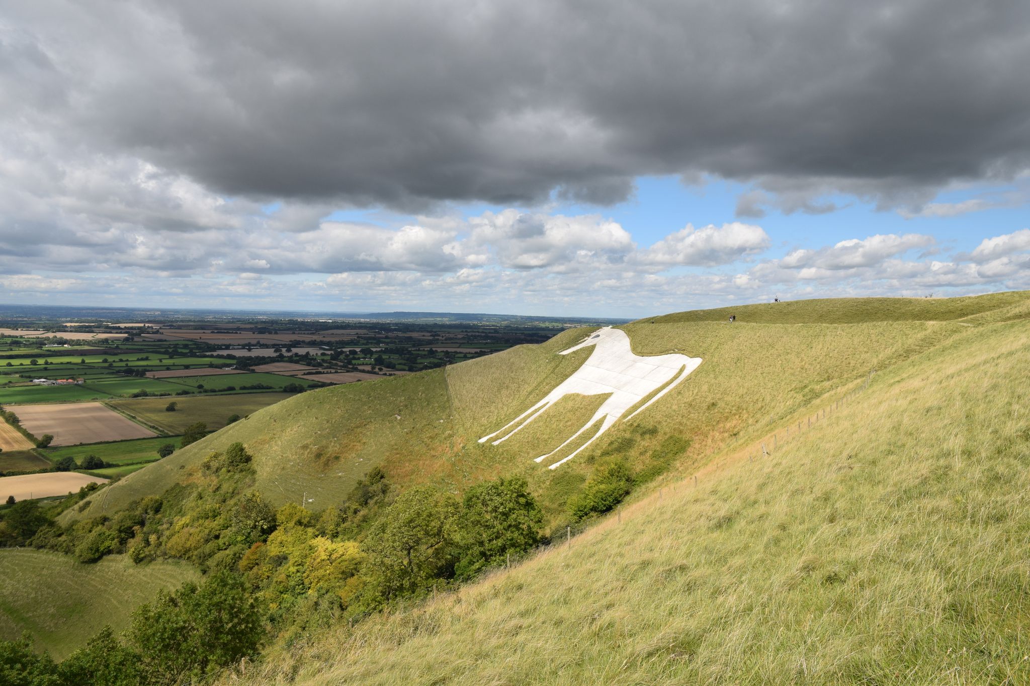
불퍼드 키위는 영국 윌트셔주 솔즈베리 평원에 있는 군사 도시 불퍼드 위의 비컨 힐에 초크로 새겨진 큰 키위 형상입니다. 이것은 제1차 세계 대전 종전 후 송환을 기다리던 뉴질랜드 원정군 병사들이 1919년에 만들었습니다. 이것은 윌트셔에 있는 몇 안 되는 언덕 형상 중 하나로, 흰색 말이나 군대 휘장도 아닙니다.
0
0

Collingbourne woods is nowhere near this point, I rode all the way from Shrewton to check this out and then found out Collingbourne woods is miles away from here.
0
0

Collingbourne Wood doesn't have a lot of trails in fact it's only got one, but it's a still a ice place to go for a pedal about and the trail thats there is good. Look out for wooden shelter for the start.
0
0

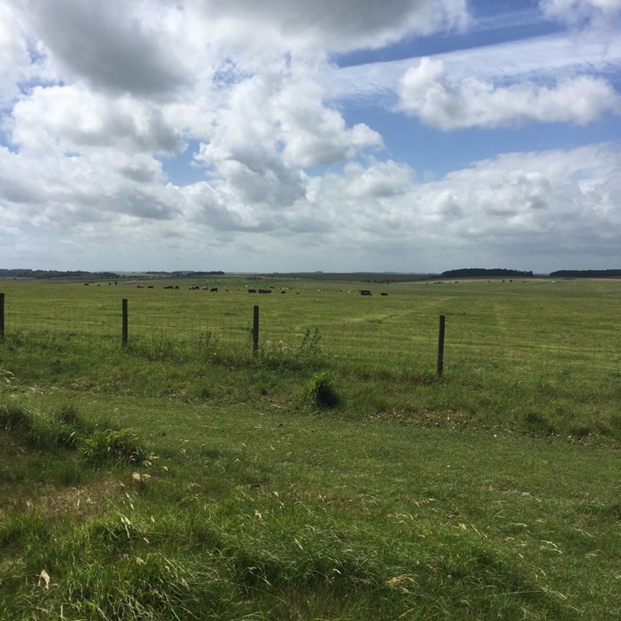
Standing on top of Bulford Down, you can look north over miles of military firing ranges. You might see tanks lumbering about in the distance or perhaps the landscape will be shrouded in quiet. The Bulford chalk kiwi carving lies just west of here.
0
0
This charming and little-known chalk hill carving was crafted by New Zealand soldiers in 1919, whilst waiting for transport to take them home after the First World War. For months they were trapped in Bulford Camp, which lies just below the kiwi's hill, as transport ships were unavailable. To alleviate the increasing unrest in the camp, the men's commanding officers set them about carving a giant kiwi into the chalk hillside, leaving their mark. The kiwi covers 1.5 acres (6,100 m sq) and is hard to see, as the military camp takes up much of the land below the hill. There is a good viewing point from the Bulford Droveway whilst you'll find an information board here, at the top of the kiwi's head.
0
0

불포드 주변에서 가장 인기 있는 명소


더 살펴보기
다른 지역의 최고의 러닝 트레일 & 경로를 살펴보세요.
