쉬운 블랑켄슈타인 주변 하이킹 및 워킹 코스
4.6
(8092)
29,265
등산객
934
하이킹
도보로 블랑켄슈타인 주변을 탐험하며 자연과 하나 되는 경이로운 경험을 해보세요. 모험을 온전히 즐길 수 있도록 쉬운 난이도로 엄선한 블랑켄슈타인 주변 최고의 하이킹과 워킹 경로를 살펴보세요. 가벼운 하이킹, 자녀와 함께하는 탐험, 가족이 함께하기 좋은 야외 활동을 위한 완벽한 선택. 모두를 위한 경로가 준비되어 있답니다.
마지막 업데이트: 8월 24, 2026
4.9
(24)
84
등산객
5.47km
01:33
120m
120m
초급용 하이킹. 모든 체력 수준에 적합. 실력과 관계없이 누구나 쉽게 갈 수 있는 길.
5.0
(5)
33
등산객
3.34km
00:54
50m
50m
초급용 하이킹. 모든 체력 수준에 적합. 실력과 관계없이 누구나 쉽게 갈 수 있는 길.

무료 회원 가입
4.9
(13)
45
등산객
4.33km
01:17
120m
120m
초급용 하이킹. 모든 체력 수준에 적합. 실력과 관계없이 누구나 쉽게 갈 수 있는 길.
4.6
(16)
47
등산객
4.51km
01:11
30m
30m
초급용 하이킹. 모든 체력 수준에 적합. 실력과 관계없이 누구나 쉽게 갈 수 있는 길.
4.6
(26)
85
등산객
6.00km
01:39
100m
100m
초급용 하이킹. 모든 체력 수준에 적합. 실력과 관계없이 누구나 쉽게 갈 수 있는 길.
더 다양한 경로와 다른 탐험가들의 추천을 살펴보세요.
무료 회원 가입
이미 komoot 계정이 있나요?
투어 추천은 다른 사람들이 komoot에서 완료한 수천 개의 활동을 바탕으로 구성되어 있습니다.
오늘 무료 계정으로 시작하세요
다음 모험이 기다리고 있어요.
로그인 또는 가입하기
블랑켄슈타인 주변 인기 장소
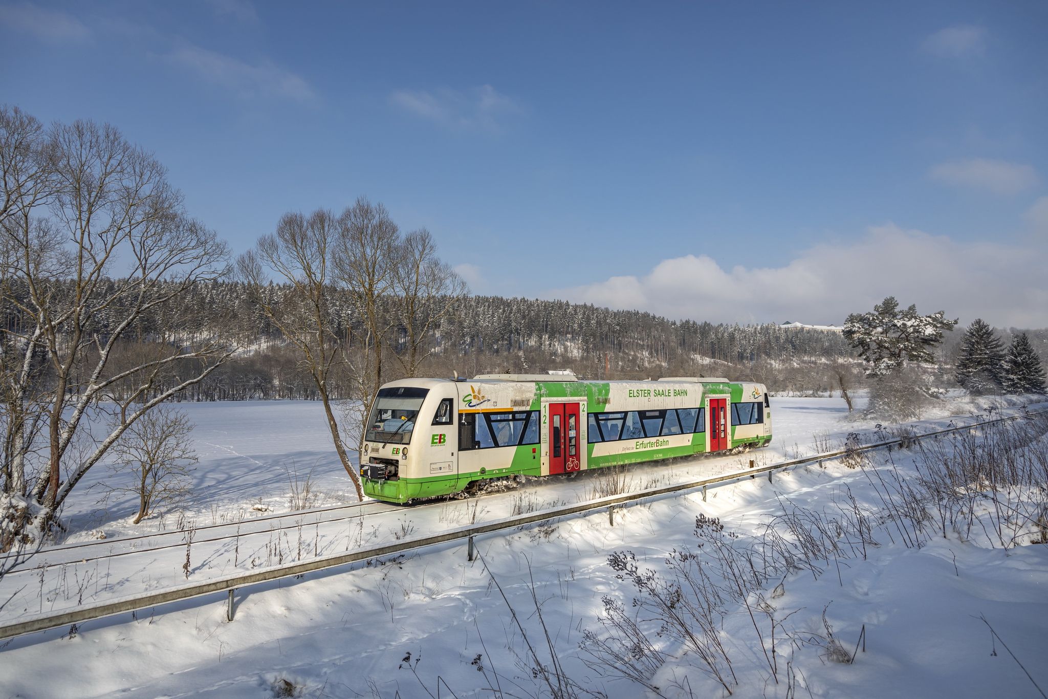
Discover Thuringia – winter hiking with the Erfurter Bahn

프랑코니안 트레일 - 24단계에 걸친 다양한 하이킹의 꿈
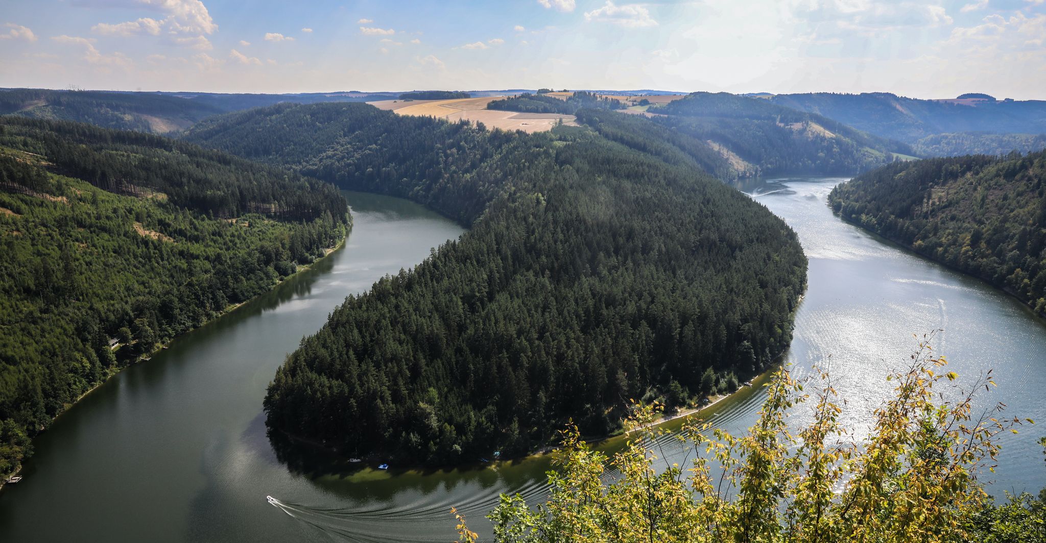
Saale Cycle Path part 1 – 튀링겐 숲을 지나는 네 개의 스포티한 구간
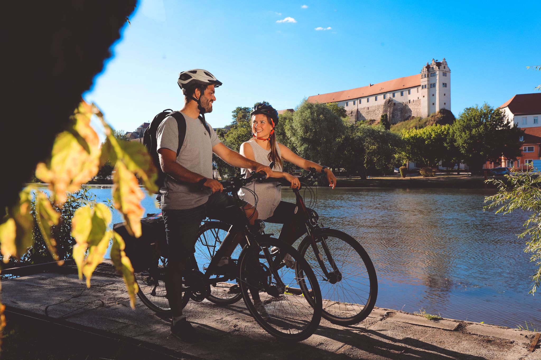
Saale Cycle Path — 9 단계 사알레 원천에서 엘베까지
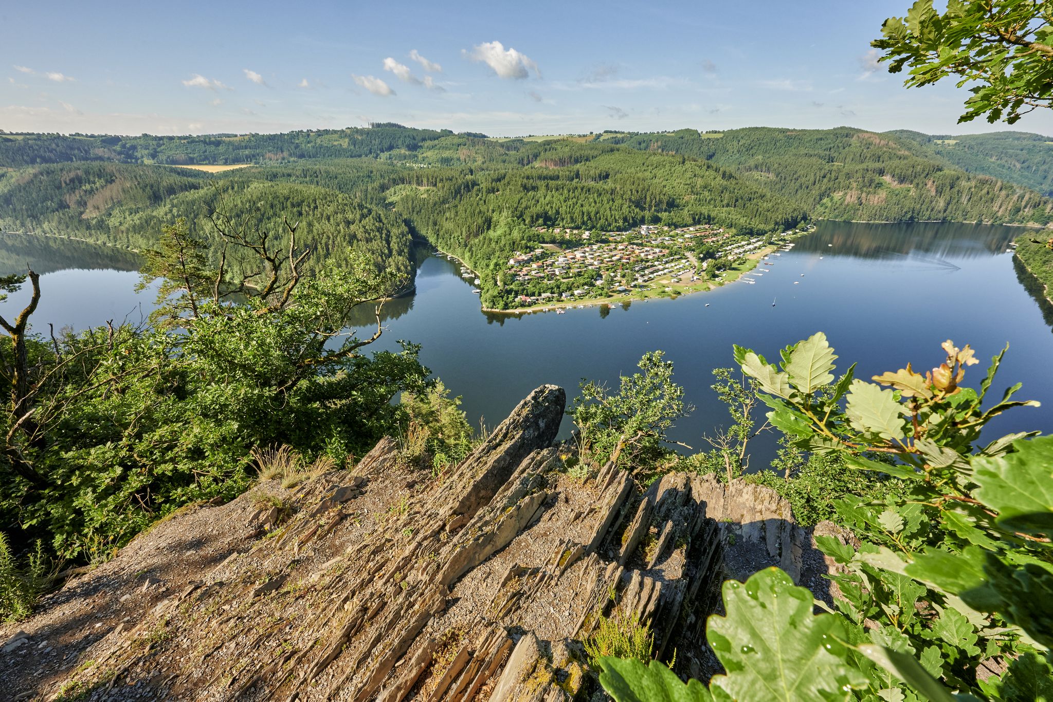
성을 바라보는 페달 트랙 - 튀링겐의 잘레라트베크
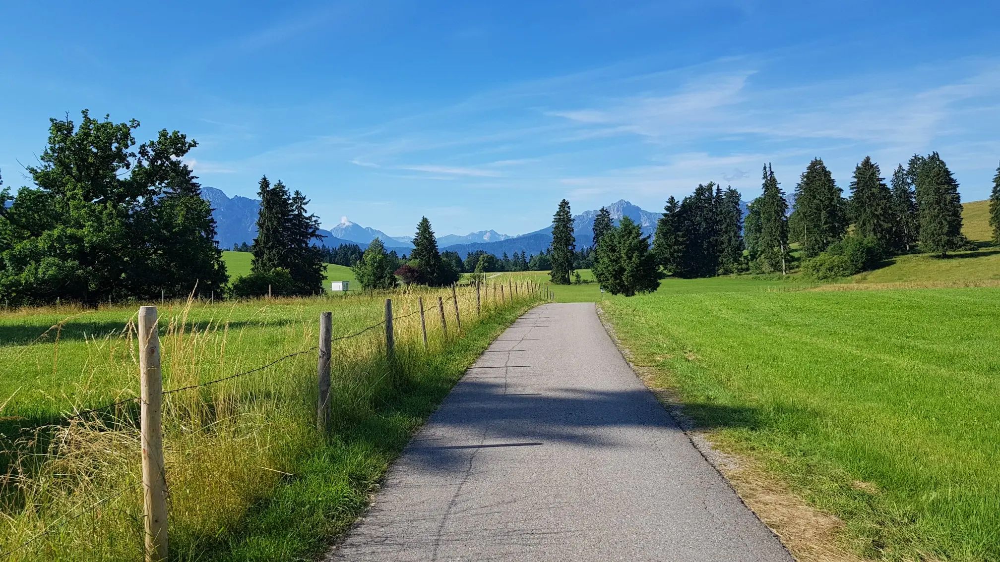
Transbavaria - 바이에른의 북쪽에서 남쪽으로
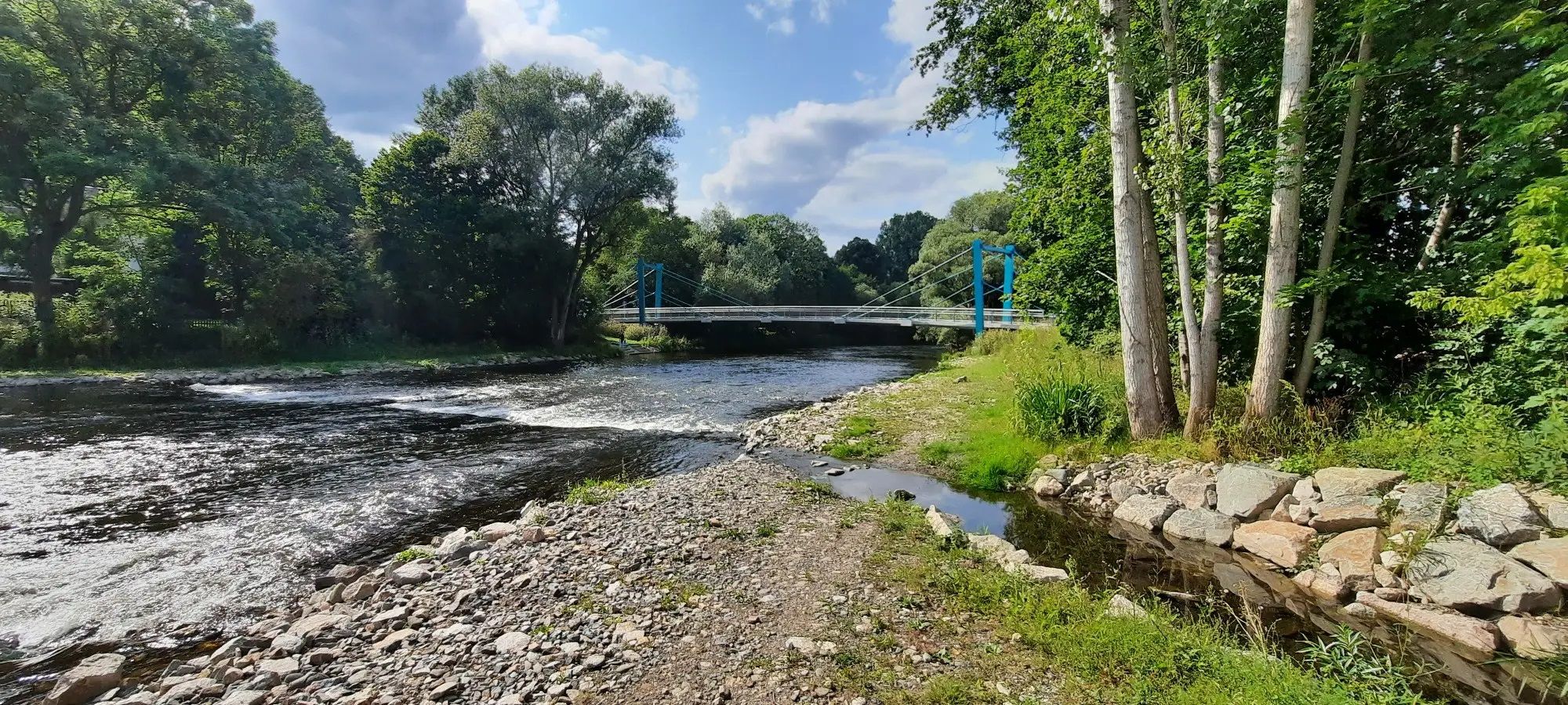
D-Route 11 – Baltic Sea - Upper Bavaria
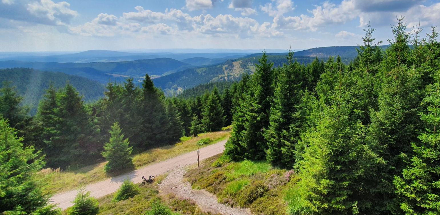
MTB 독일 중부를 통과 — 렌슈타이크에서 3일
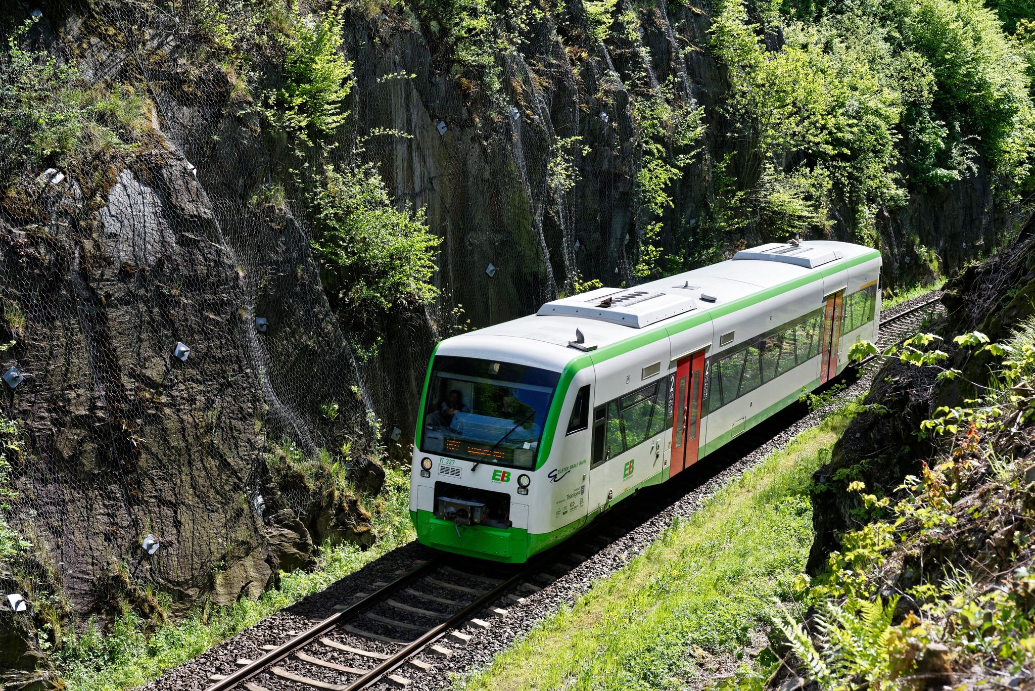
Nächster Halt: Natur – Wandern mit der Erfurter Bahn
블랑켄슈타인 주변의 다른 모험


커뮤니티 팁

Parking area for hikers with an information center, an old train, and a place to stop for refreshments nearby.
0
0

You walk along the rocky path: great wild hiking trail over hill and dale, lots of views, lots of rock
0
0
You walk along the rock path here, a wonderful, wild hiking trail with lots of views and lots of rocks. Very beautiful!
0
0
Very nice facility: an old train station on the line through the Höllental valley has been converted into a parking lot. A top starting point.
0
0

In 1933, a wood mill was converted into the current hydroelectric power plant. Along the right bank of the Selbitz River, the 1.60-meter-high pipes run 1,855 meters in length, with a drop of 37.4 meters, carrying water from the weir to the water tower and from there into the power plant. During the summer months, on Sundays and public holidays, and when the water level is sufficient, a 28-meter-high water fountain can be seen at the power plant, delighting hikers.
15
0
The arched bridge of the Höllentalbahn, which ran between Triptis and Marxgrün, was in use from 1895 to 1945. After that, the railway line leading to Thuringia was discontinued. The Selbitz Viaduct is now a lost place.
12
0
In 1887, the local railway line from Hof via Naila to Marxgrün was opened and extended to Bad Steben in 1898. As early as 1897, Blankenstein received a railway connection via Lobenstein to Triptis. Due to the industrialization of the Franconian Forest, particularly the Rosenthal paper mill, an extension of the line through the Höllental Valley to Marxgrün was planned. From 1900 to 1901, 250 workers built the 6.3-kilometer-long Höllental Railway from Marxgrün via Hölle, through the valley, and via Blechschmidtenhammer to Blankenstein. On August 14, 1901, the first train ran through the Höllental Valley. In April 1945, the last train ran on the Höllental Railway. The inner-German border marked the end of the connection between Bavaria and Thuringia. In 1971, freight traffic to Blechschmidtenhammer ended on the Bavarian side. Around ten years later, the German Federal Railway had the tracks in the Höllental Valley torn out. The old train station building in Blechschmidtenhammer has been preserved and is now the information center of the Franconian Forest Nature Park.
11
0

블랑켄슈타인 주변에서 가장 인기 있는 명소


더 살펴보기
다른 지역의 최고의 하이킹를 살펴보세요.
