미네소타에서 가장 멋진 12개의 산 정상
미네소타의 산 정상에 오르면 이 지역의 아름다운 모습을 제대로 구경할 수 있어요. 다만, 12
곳이나 되는 산 정상 중에서 어떤 곳을 가야 할 지 고민된다는 게 문제죠. 미네소타에서 가장 멋진 산 정상을 살펴본 후에 마음에 드는 산 정상을 다음 모험 계획에 추가해보세요.
마지막 업데이트: 8월 24, 2026
코요테 포인트 전망대
하이라이트 • 전망대
팁에 의해


이런 장소를 발견하려면 지금 가입하세요
최고의 싱글 트랙, 봉우리 및 다양한 흥미로운 야외 장소에 대한 추천을 받아보세요.
무료 회원 가입
Hill of Three Oaks
하이라이트 • 정상
번역문 보기
팁에 의해

Chimney Rock 보행자 다리
하이라이트 • 다리
팁에 의해

Ely's Peak
하이라이트 • 정상
팁에 의해


오버그 산에서 바라본 슈피리어 호수와 오버그 호수 전망
하이라이트 • 전망대
팁에 의해
무료로 가입하여 미네소타의 더 많은 봉우리를 발견하세요.
무료 회원 가입
이미 komoot 계정이 있나요?
오늘 무료 계정으로 시작하세요
다음 모험이 기다리고 있어요.
로그인 또는 가입하기
미네소타 주변 인기 장소

North Country Trail – 4,800 Miles along the edge of northern U.S.
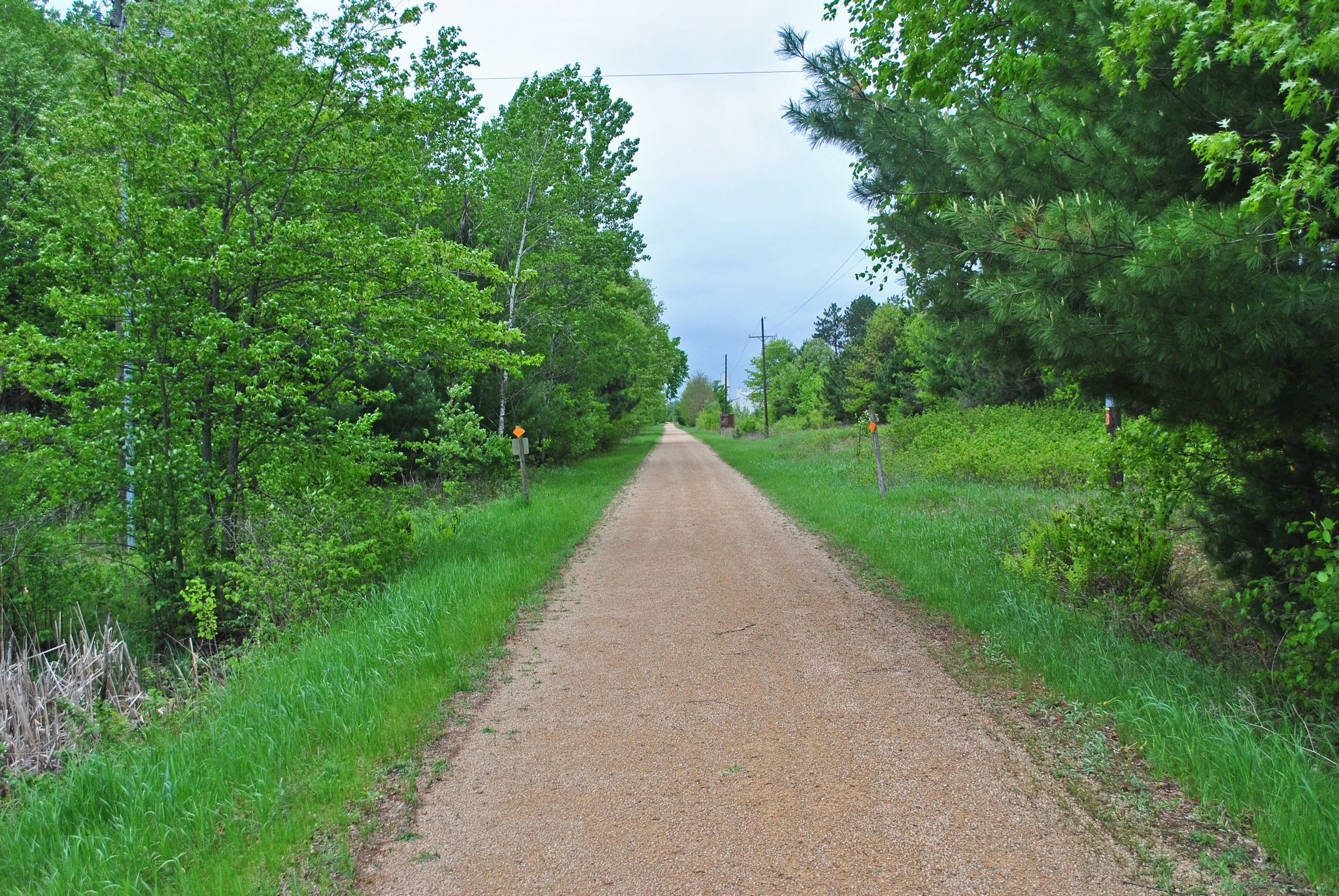
Gandy Dancer State Trail — 철도 노동자의 발자취를
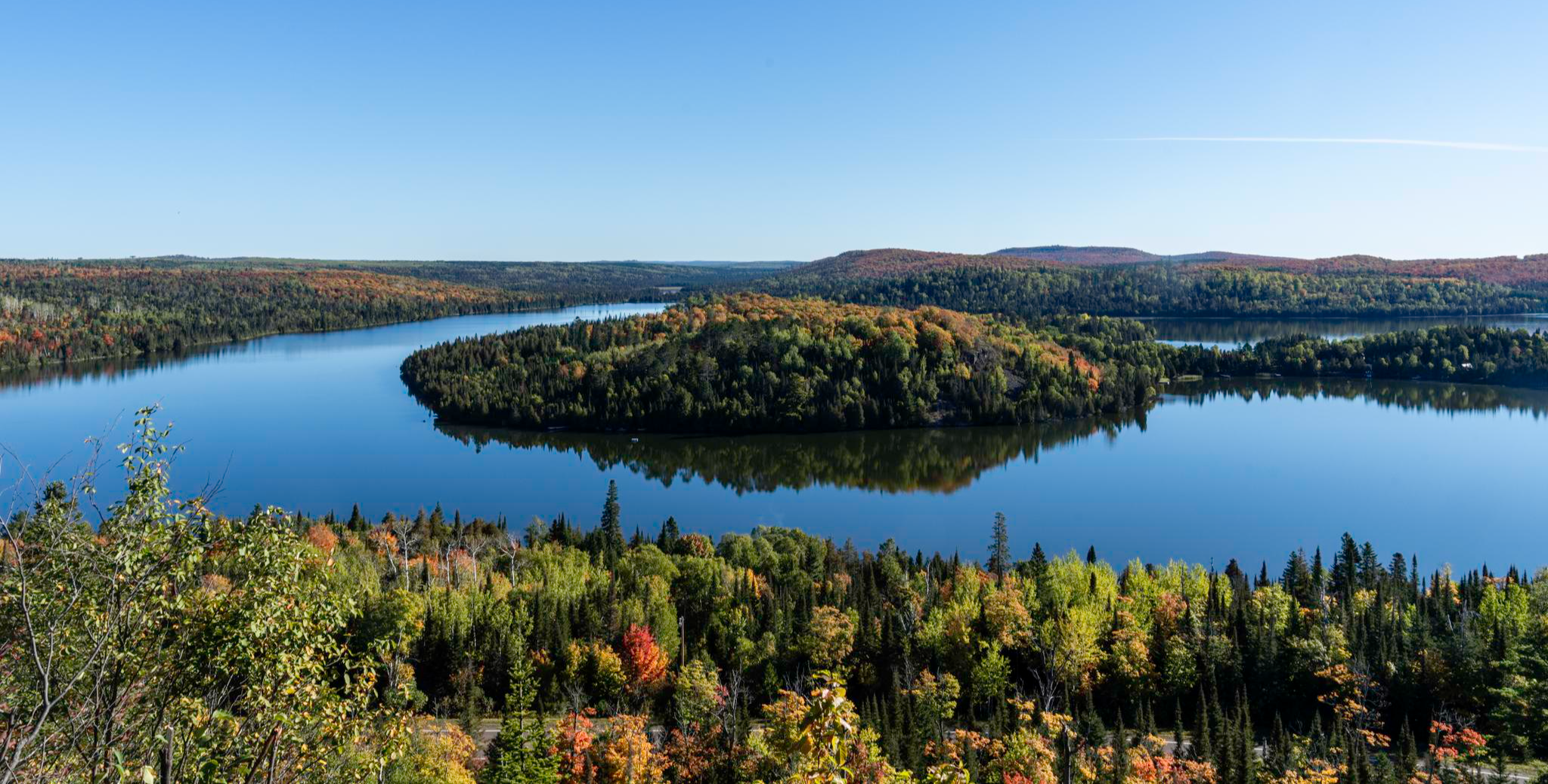
Superior Hiking Trail — 숲이 호수를 만나는 곳

오화리스타 80일 시작스
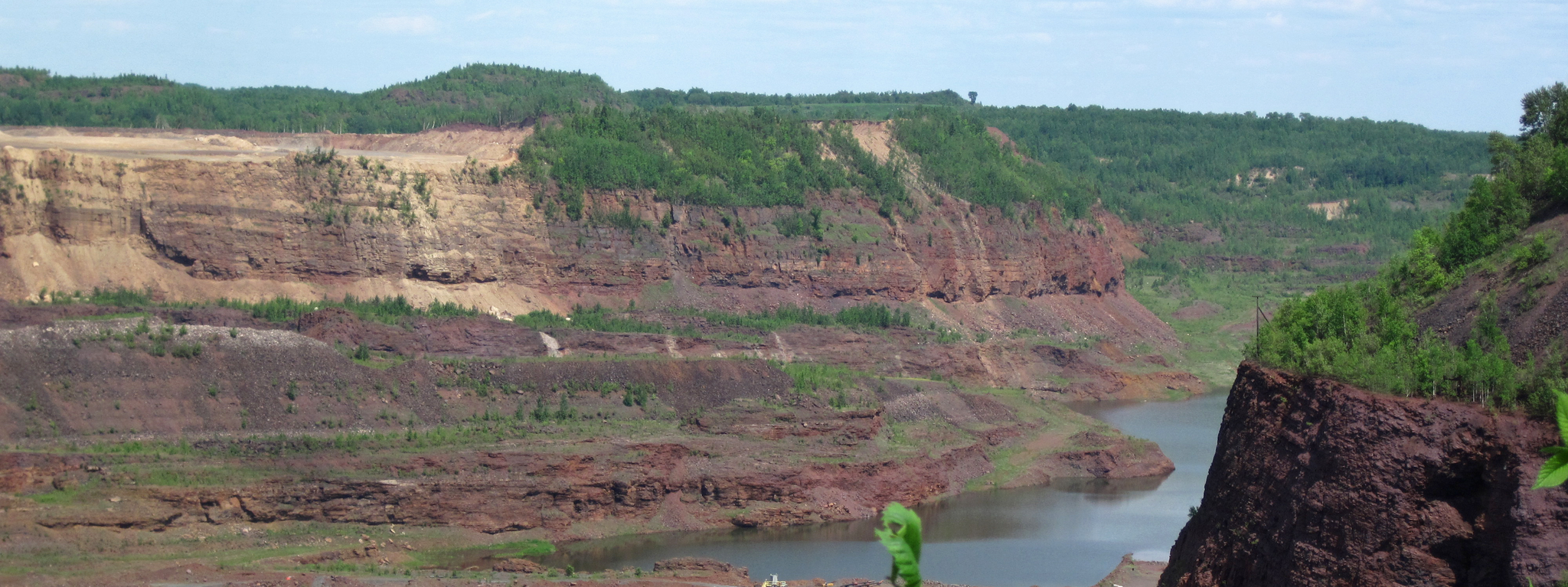
Mesabi Trail — Riding Minnesota’s Iron Range
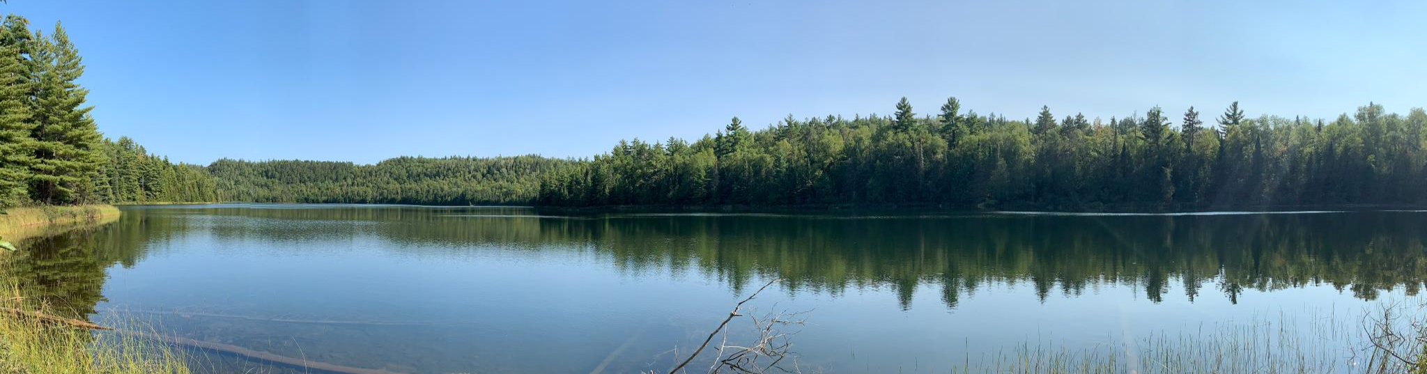
Border Route Trail —북쪽 숲 속 오지 배낭여행의 도전
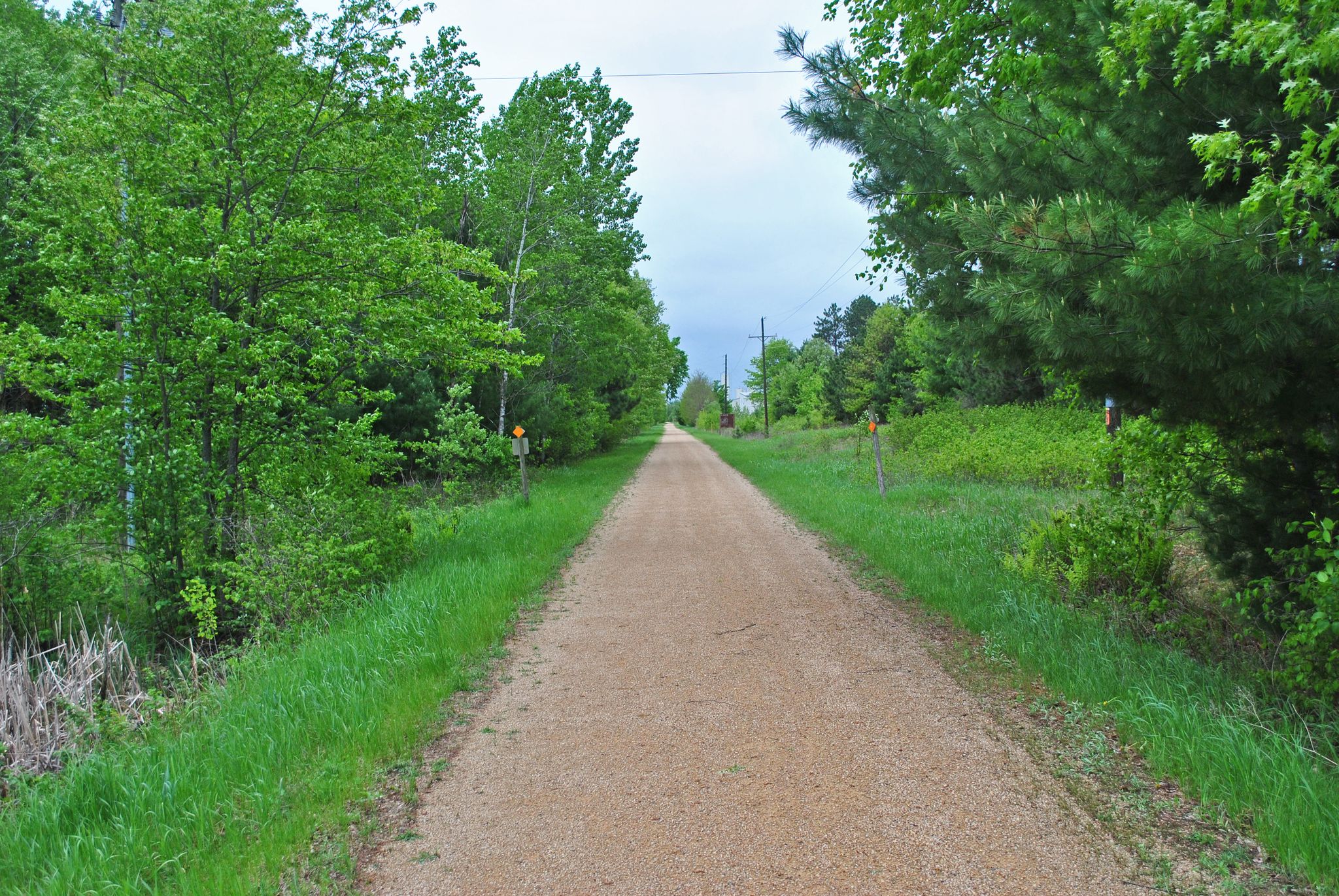
Gandy Dancer Trail — 98마일의 철도 역사

The rhythms of the river – road trip along the Mississippi

On the shores of the Great Lakes
하늘 색 물 - 미시시피 강 트레일
미네소타의 다른 모험


커뮤니티 팁

이 장소는 라이스 카운티에서 유일한 코무트 봉우리였기 때문에 처음 제 관심을 끌었습니다. 지질학적으로 이 언덕은 위스콘신 빙하기인 미네소타의 마지막 빙하 후퇴의 산물입니다. 라이스 카운티의 특징인 구불구불한 빙하 퇴적 지형의 일부이며, 유럽 정착 이전에는 참나무 사바나와 키 큰 풀 초원을 지탱했던 빙퇴석과 배수가 잘 되는 고지대 토양을 가지고 있습니다. 언덕 뒤편의 고고학적 현장 조사에서 19세기 농가의 유적이 발견되었으며, 여기에는 흩어진 벽돌, 도자기, 유리 및 금속 기반 시설이 포함되었습니다. 근처에는 노스필드 최초의 정착지 기념물이 서 있으며, 이 농가일 가능성이 높습니다. 세 참나무 언덕은 1963년 칼턴 학생 그룹이 대학의 의무 종교 예배 참석 요건에 대한 가볍고 창의적인 항의로 설립한 북미 개혁 드루이드교의 발상지이기도 합니다. 그들은 1963년 4월 17일 언덕 꼭대기에서 첫 번째 의식을 거행했습니다. 이 운동은 예상치 못하게 전국적인 신드루이드 계보로 발전했으며, 오늘날까지도 언덕에는 돌 제단이 남아 있습니다. 마지막으로, 이 언덕은 캠퍼스 내 몇 안 되는 지정된 화덕 중 하나로 사용되어 학생들의 모닥불, 별 관측 및 심야 모임 장소로 인기가 많습니다.
0
0
Mount Gilboa is recognized as the highest named “point of natural land” in Hennepin County, standing 1,017 feet above sea level. It is located at 44.84023, -93.36716, within the Hyland Lake Park Reserve in Bloomington, Minnesota. The highest “surveyed elevation” in Hennepin County is slightly higher, at 1,130 feet above sea level. This point lies at 44.91980, -93.45980, in a suburban neighborhood of Hopkins, situated south of Highway 7 and between Woodhill Road and Interstate 494. Mount Gilboa is a glacial moraine, formed by an accumulation of unconsolidated glacial debris, known as till, transported and deposited by ancient glaciers during the last Ice Age. While it is likely that the indigenous peoples of this area originally named the hill, the present name, Mount Gilboa, appears to have been given by early settlers. These settlers named it after Mount Gilboa, a mountain range in Israel mentioned in the Old Testament. Today, Mount Gilboa is best known for its ski slope and attracts 'high pointers' as well as hikers who are interested in hill climbing. The trail to the top of Mount Gilboa, which is included on a komoot ready-made route, is seasonally closed for the skiing season.
0
0

Great bridge, part of my memories of hiking here every year.
0
0
I love this big climb up the stairs and then into ladders. Would much rather climb it then descend it, so I usually park by the Nature Store, then you just hut across the road and up you go.
0
0
The top of Oberberg Mountain indeed provides multiple spectacular views of Lake Superior, Oberg Lake, and the surrounding forests. However, as it happens, the only view at the specific location of this highlight is of a beautiful wooded forest trail. I have included several photos of the trail at this location. I have also created a new highlight with an excellent view of Oberg Lake in the distance. I have named that highlight View of Oberg Lake from Oberg Mountain.
0
0


Chimney Rock Footbridge is a historical bridge designed by N. Averill and built in 1935 by the Civilian Conservation Corps. It crosses Middle Fork Whitewater River.
0
0
미네소타에서 가장 인기 있는 명소


더 살펴보기
이 가이드를 통해 미네소타의 더 놀라운 정상들을 확인해보세요:
