마옌-코블렌츠에서 가장 멋진 20개의 호수
마옌-코블렌츠에서 가장 멋진 호수를 방문하고 싶나요? 호숫가의 고요한 분위기를 느끼거나 날씨가 따뜻한 날 호수에 발을 살짝 담글 수 있다면 얼마나 좋을까요? Komoot 커뮤니티가 추천한 마옌-코블렌츠의 주요 호수를 아래에서 살펴보고, 다음 모험 때 직접 찾아가보세요!
마지막 업데이트: 9월 27, 2026

라하허제(Laacher See) 호숫가 산책로
하이라이트 • 트레일
번역자 Google •
팁에 의해

이런 장소를 발견하려면 지금 가입하세요
최고의 싱글 트랙, 봉우리 및 다양한 흥미로운 야외 장소에 대한 추천을 받아보세요.

라하허제(Laacher See) 전망이 보이는 호숫가 트레일
하이라이트 • 호수
번역자 Google •
팁에 의해

라아허 호수의 부글거리는 기포(모페텐)
하이라이트 • 자연 기념물
In the morning the Maria Laach Abbey shines in the first …
번역자 Google •
팁에 의해


Booser Doppelmaar 습지
하이라이트 • 자연 기념물
번역자 Google •
팁에 의해

보저 도펠마아르 전경
하이라이트 • 전망대
번역자 Google •
팁에 의해

아이테르바흐바이어와 쉼터
하이라이트 • 호수
번역자 Google •
팁에 의해
무료로 가입하여 마옌-코블렌츠의 더 많은 호수를 발견하세요.
이미 komoot 계정이 있나요?
오늘 무료 계정으로 시작하세요
다음 모험이 기다리고 있어요.
마옌-코블렌츠 주변 인기 장소
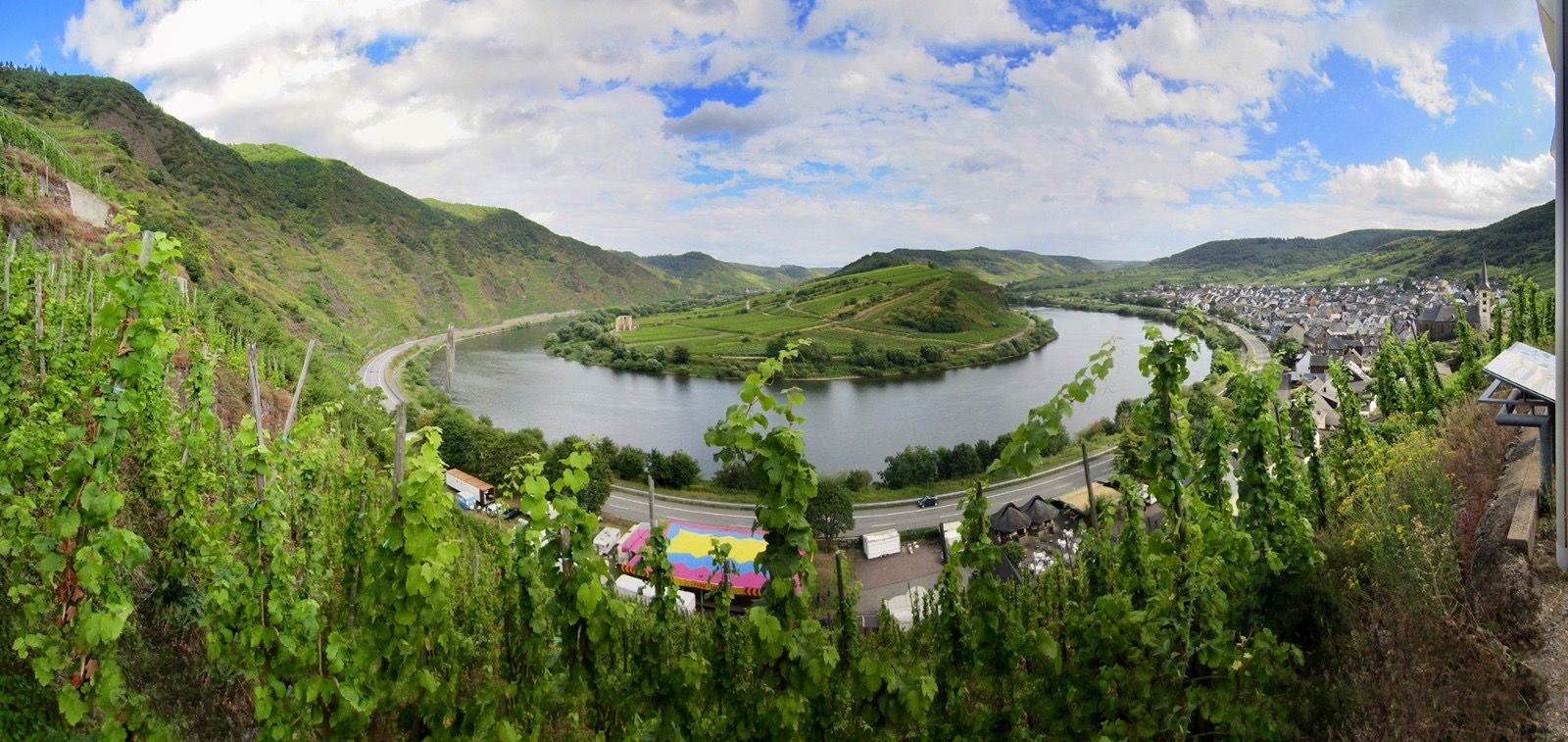
Moselle 사이클로 탐방로 — Vosges에서 Rhine까지 18 구간
트리어에서 코블렌츠까지 — 모셀크로스
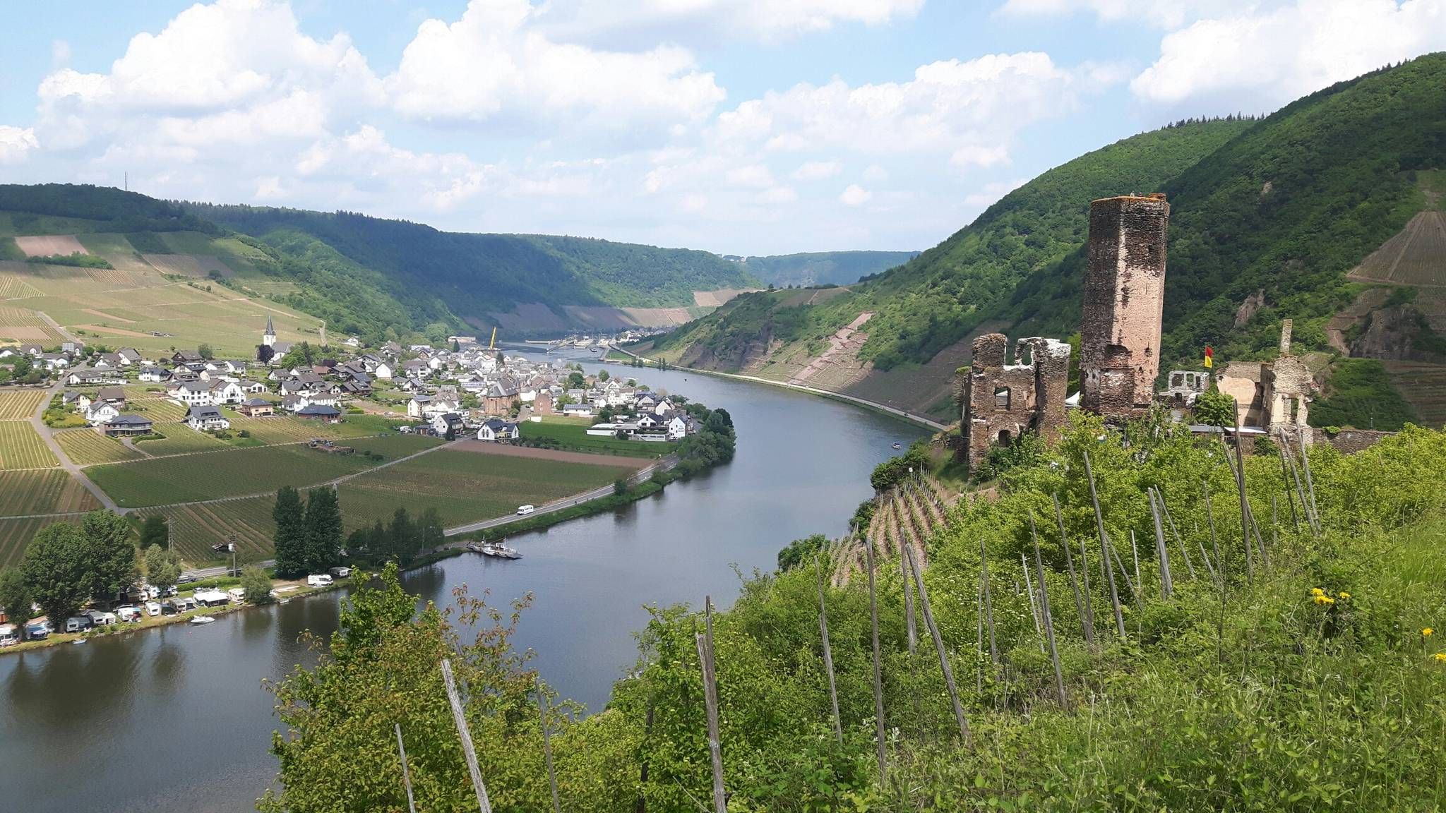
모젤스타이그 트레일 - 맑은 모젤 계곡의 24 구간
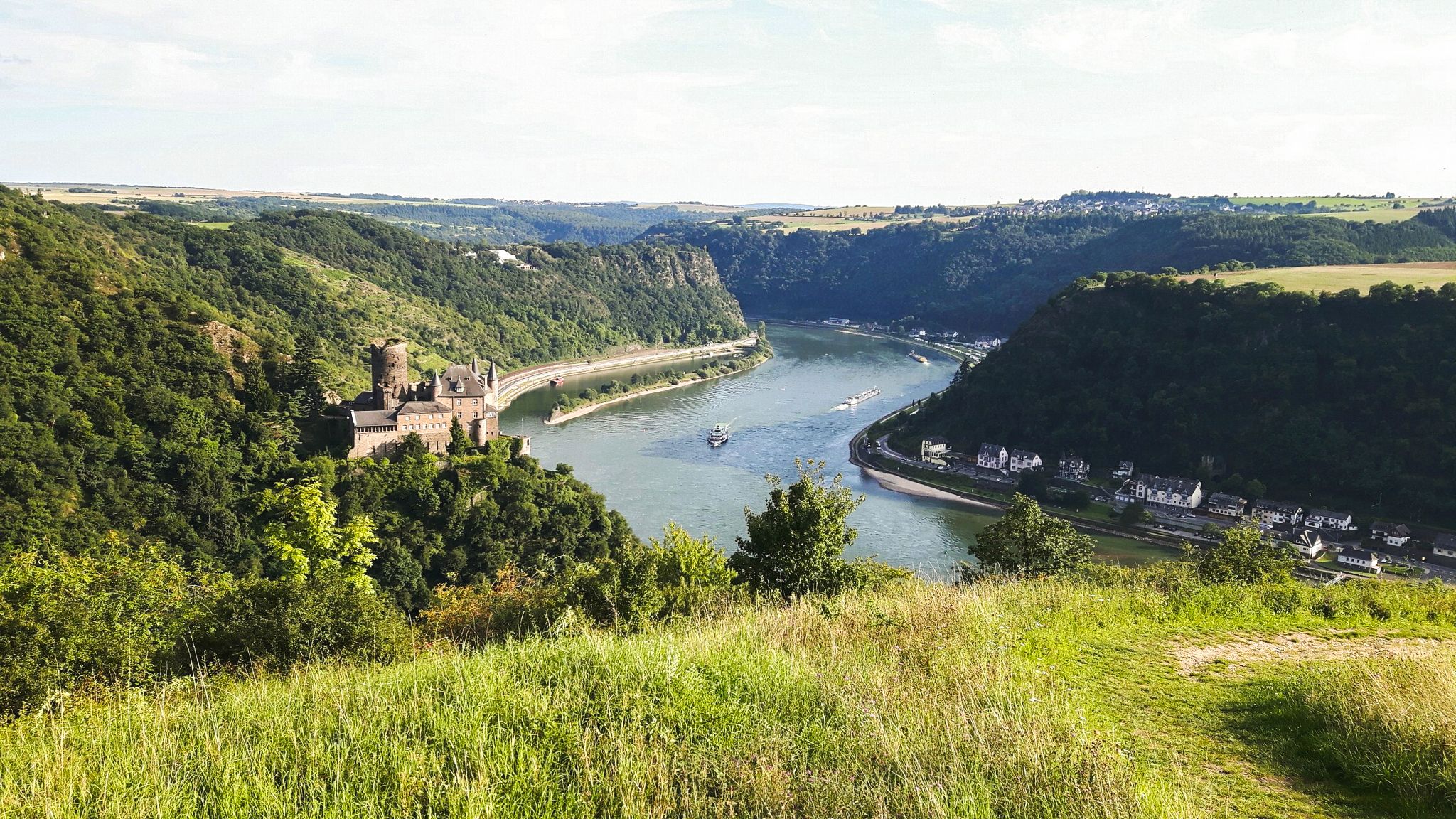
라인슈타이크 트레일의 21개 구간 - 라인 강을 따라
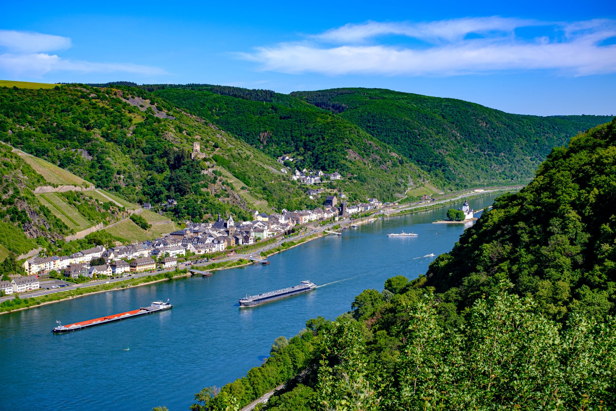
라인 성 트레일 – 순수한 라인 낭만주의의 13단계
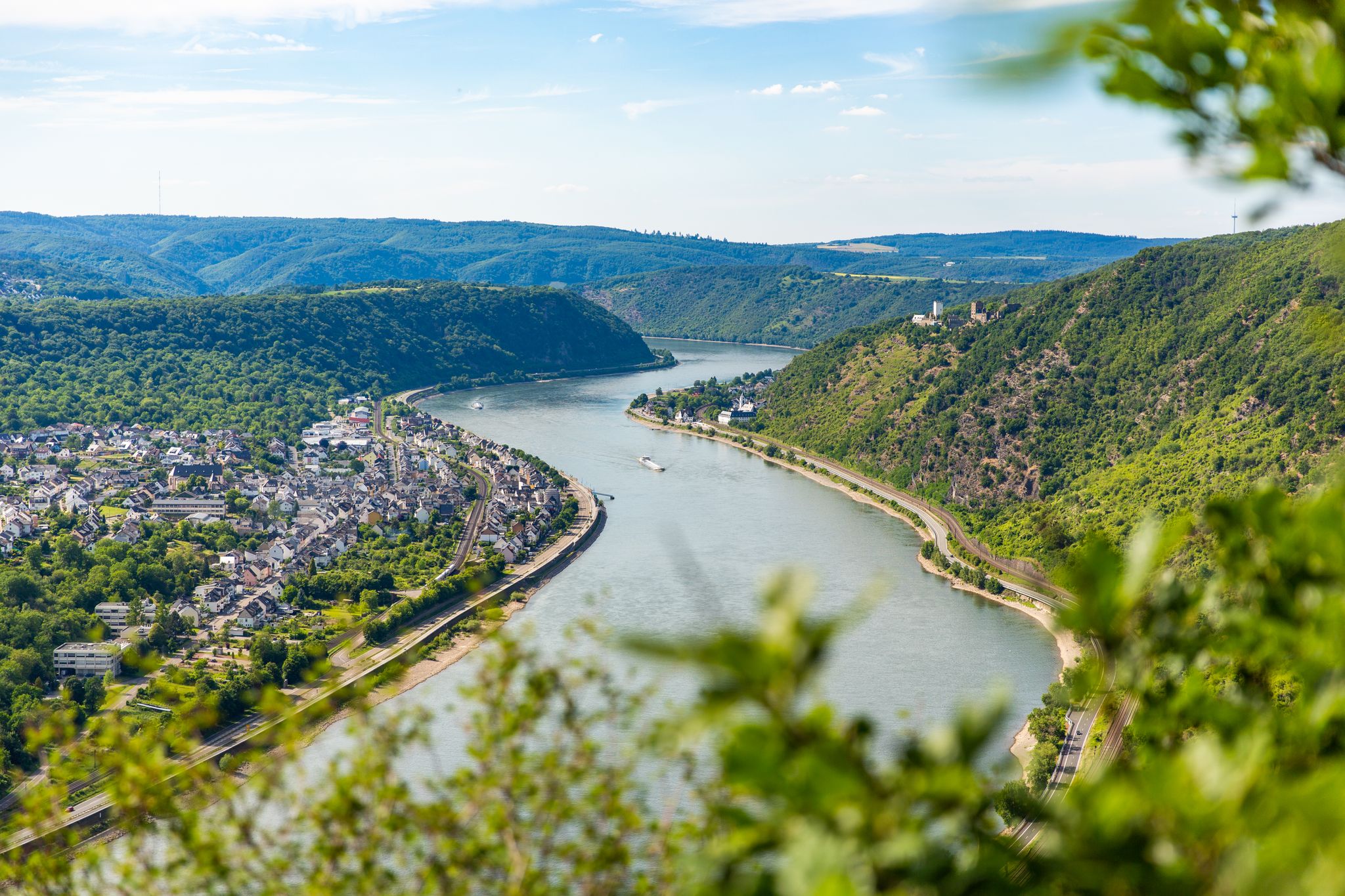
Up and down along the Rhine – adventure on the Rheinsteig

Dream Trails in the Rhine-Mosel-Eifel Region – Small Trails, Great Nature
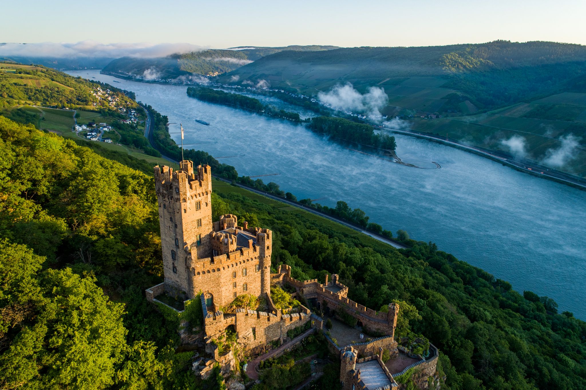
Stunningly beautiful – hiking on the RheinBurgenWeg
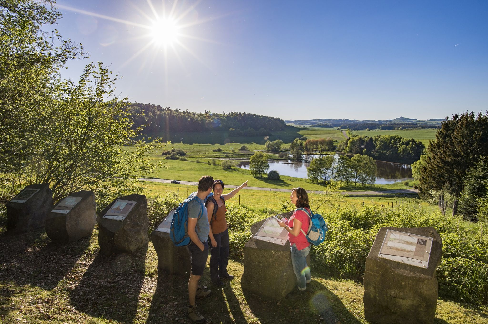
Traumpfade – dreamy, varied hiking trails in Rhein-Mosel-Eifel-Land
Moselsteig Partner Trails – nature, culture and views
마옌-코블렌츠의 다른 모험


커뮤니티 팁

The Luisenplatz Hut is picturesquely situated above Mayen, nestled in the city forest and the gentle hills of the Eifel region. It is considered one of the most beautiful viewpoints in the area and invites hikers to rest and enjoy the breathtaking panoramic views. On the popular "Förstersteig" (Forester's Trail) hiking route, this spot is described as a highlight of the tour – offering a "stunning panoramic view over Mayen, the Maifeld region, and all the way to the Rhine." Just a few steps from the hut is a trigonometric survey point, which underscores the unique topographical location of the site. This prominent point was once used for geodetic measurements.
1
0
The Eiterbachweiher pond is located near Kürrenberg (a district of Mayen) in the Vorderwald or Vorderer Stadtwald of Mayen, nestled in the so-called Eiterbach valley.
1
0

Mofettes at Lake Laach demonstrate: The Laacher See volcano, Europe's youngest, didn't go extinct 13,000 years ago; it's just dormant. That's what volcanologists say. And indeed, on the eastern shore of the lake, it's bubbling like a glass of mineral water. Mass amounts of CO2 bubbles rise here, and there's a faint smell of sulfur. Source: https://www.meineeifel.de/mofetten-am-laacher-see/
5
0

The Boos Double Maar consists of two silted-up maars, which today appear as shallow depressions in the terrain. They are located within the municipality of Boos. The two maars formed between 10,150 and 14,160 years ago and belong to the Quaternary volcanic field of the Volcanic Eifel. The two maars form large, circular basins surrounded by tuff embankments. They lie on a west-southwest-east-northeast trend, thus following the Variscan strike of the subsurface. The west-southwest maar has a diameter of approximately 700 m and a depth of between 30 and 60 m; the east-northeast maar is between 650 and 700 m and a depth of between 50 and 87 m. Both depressions are very humid, so there are still areas that have a permanent water surface. The waters were formerly used as fish ponds, but later silted up and served as meadows and fields. Today, there is once again a fish pond in the west-southwestern part of the maar, the Booser Weiher. In the vicinity of the maars, there are tuff pits where the volcanic tuff formed during the eruption of the maars was mined. Very beautiful nature.
0
0


The history of the Volcanic Eifel can be explored at the Booser Doppelmaar. The Booser Doppelmaar consists of two silted-up maars, which today appear as flat hollows in the terrain. The two maars were formed between 10,150 and 14,160 years ago. Viewed from above, the two maars are circular basins. The west-southwest maar has a diameter of around 700 m and is between 30 and 60 m deep, the east-northeast maar is between 650 and 700 m large and has a depth of 50 to 87 m. The two hollows are very wet, so there are still places that have a permanent water surface. The water areas were previously used as fish ponds, but later silted up and served as meadows and fields. Today there is again a fish pond in the west-southwestern maar, the Booser Weiher, see also https://de.wikipedia.org/wiki/Booser_Doppelmaar
1
1
The Booser Doppelmaartour is an Eifel dream trail. It is important that you look in vain for water here, because the two maars are so-called dry maars.
0
0

Simply beautiful here at the lake
6
0


찾고 계신 것을 찾지 못하셨나요?
마옌-코블렌츠의 최고의 호수를 지역별로 찾아보세요:
더 살펴보기
마옌-코블렌츠에서 완벽한 호수를 아직 못 찾으셨나요? 이 지역의 가이드를 확인하여 더 아름다운 장소를 찾아보세요.
