경로

플래너

기능

업데이트

App

로그인 또는 가입

앱 다운로드

로그인 또는 가입

경로
Places to see
Mountain Peaks
스위스
티치노

블레니오

블레니오‬에서 가장 멋진 ‪20‬개의 산 정상


블레니오의 산 정상에 오르면 이 지역의 아름다운 모습을 제대로 구경할 수 있어요. 다만, 20
곳이나 되는 산 정상 중에서 어떤 곳을 가야 할 지 고민된다는 게 문제죠. 블레니오에서 가장 멋진 산 정상을 살펴본 후에 마음에 드는 산 정상을 다음 모험 계획에 추가해보세요.

마지막 업데이트: 8월 16, 2026

루크마니에르 패스 정상

하이라이트 • 산악 고개

Lukmanier Pass
When the Disentis monastery was founded around 720, the Lukmanier Pass, which could be crossed without great difficulty and was also considerably lower than the other passes in …

번역자 Google •

에 의해

라이딩 보기

휴대폰으로 전송

저장

파소 디 가나 네그라(블랙 록스 패스)

하이라이트 • 산악 고개

The natural wonder there are the graphite-black boulders in the middle of the dominant light-colored carbon rocks. As if the giant forces of prehistoric times had hurled them there. They …

번역자 Google •

에 의해

저장

이런 장소를 발견하려면 지금 가입하세요

최고의 싱글 트랙, 봉우리 및 다양한 흥미로운 야외 장소에 대한 추천을 받아보세요.

무료 회원 가입

라고 디 루초네와 루초네 댐

하이라이트 • 호수

Lake Luzzone is located in the upper Blenio valley at 1590 meters above sea level. It is an artificial basin originating from a 225 meter high dam and completed in 1963.

번역자 Google •

에 의해

저장

아쿠아로사 온천

하이라이트 • 자연 기념물

The town is of Etruscan origin and dates back to the mid-7th century BC. The current name derives from the nearby iron-rich water source.

번역자 Google •

에 의해

저장

그레이나 고개

하이라이트 • 산악 고개

The Greinapass has been the border between Graubünden and Ticino since 1858. The terrain there is geologically interesting: on the north side, the mountains are made up of crystalline rocks …

번역자 Google •

에 의해

저장

Matro 정상 및 통신탑

하이라이트 • 정상

Magnificent views of Mount Matro and the Leventina and Blenio Valleys.

번역자 Google •

에 의해

저장

Leontica

하이라이트 • 정착지

Mountain village with a magnificent view, fountain and restaurant.

번역자 Google •

에 의해

저장

Crap la Crusc

하이라이트 • 자연 기념물

Crap la Crusc, the cross-rock, forms the center of the Greina. It symbolically unites earth and sky and is the only significant human intervention in this Nordic-style high valley.
Crap …

번역자 Google •

에 의해

저장

카판나 고르다

하이라이트 • 산장

The Gorda hut is an alpine refuge at almost 1800 m above sea level. It is a perfect place for a regenerating break during a walk.

번역자 Google •

에 의해

저장

피초 로세토

하이라이트 • 정상

Although rather immodest as a mountain, the Pizzo Rossetto is often visited - on the one hand because of its landscape characterized by sparse larch forest, on the other hand …

번역자 Google •

에 의해

저장

무료로 가입하여 블레니오의 더 많은 봉우리를 발견하세요.

무료 회원 가입

이미 komoot 계정이 있나요?

오늘 무료 계정으로 시작하세요

다음 모험이 기다리고 있어요.

로그인 또는 가입하기

블레니오 주변 인기 장소

Alpejski Passes Trail - 완로이 대리스타일 아습니다.

정상의 즐거움 34단계 - 스위스의 알프스 해안 트레일 하이킹
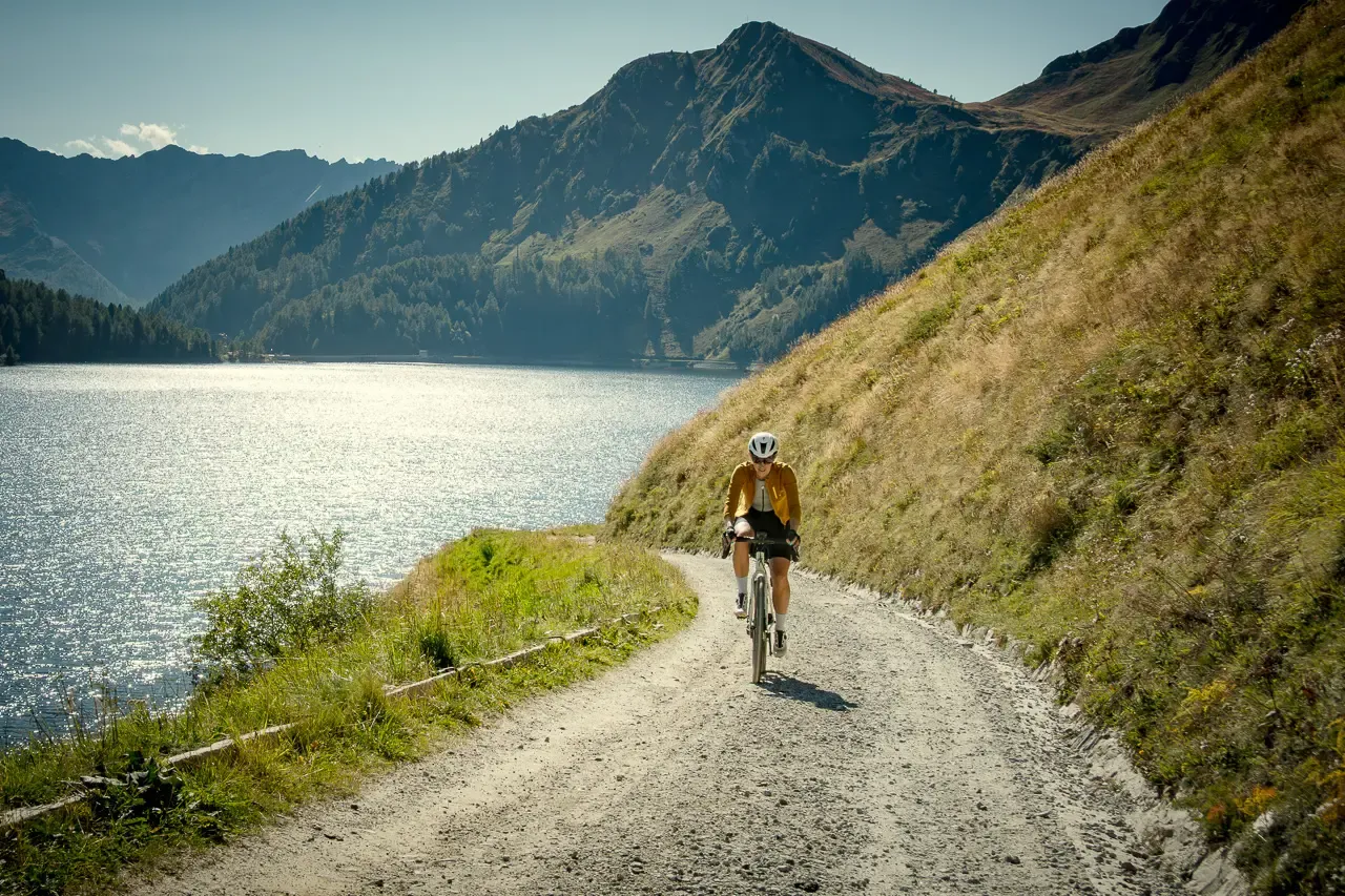
Ticino hut-to-hut: a 3-day alpine gravel escape
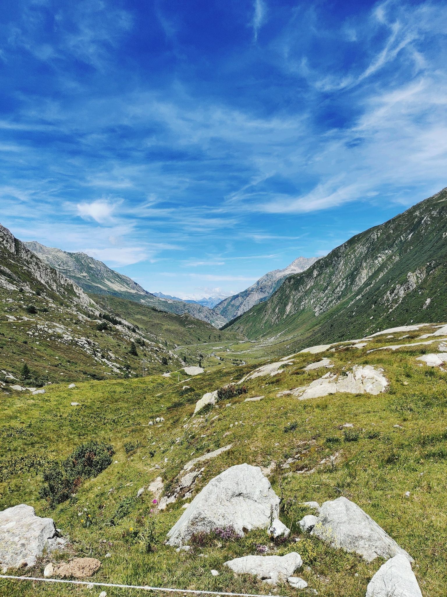
알프스의 전설적인 교차 - 고타르도 자전거 루트
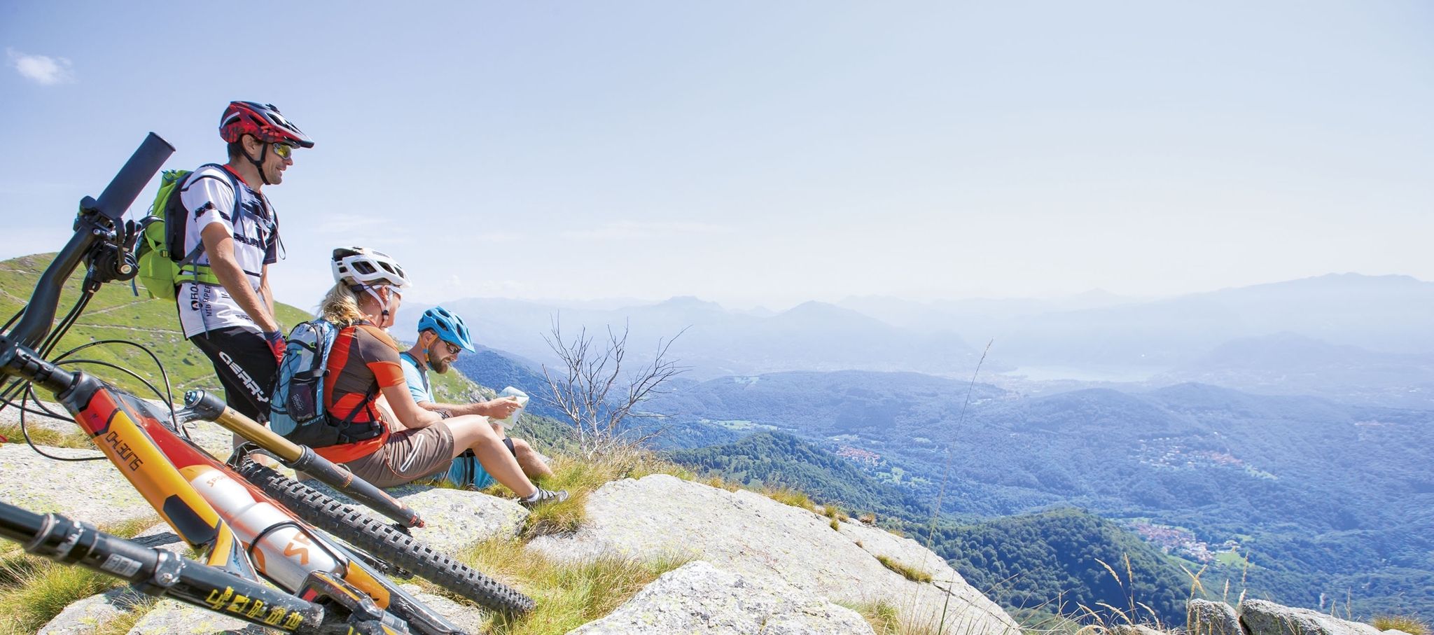
Ride together – the komoot MTB relay through Ticino in Switzerland
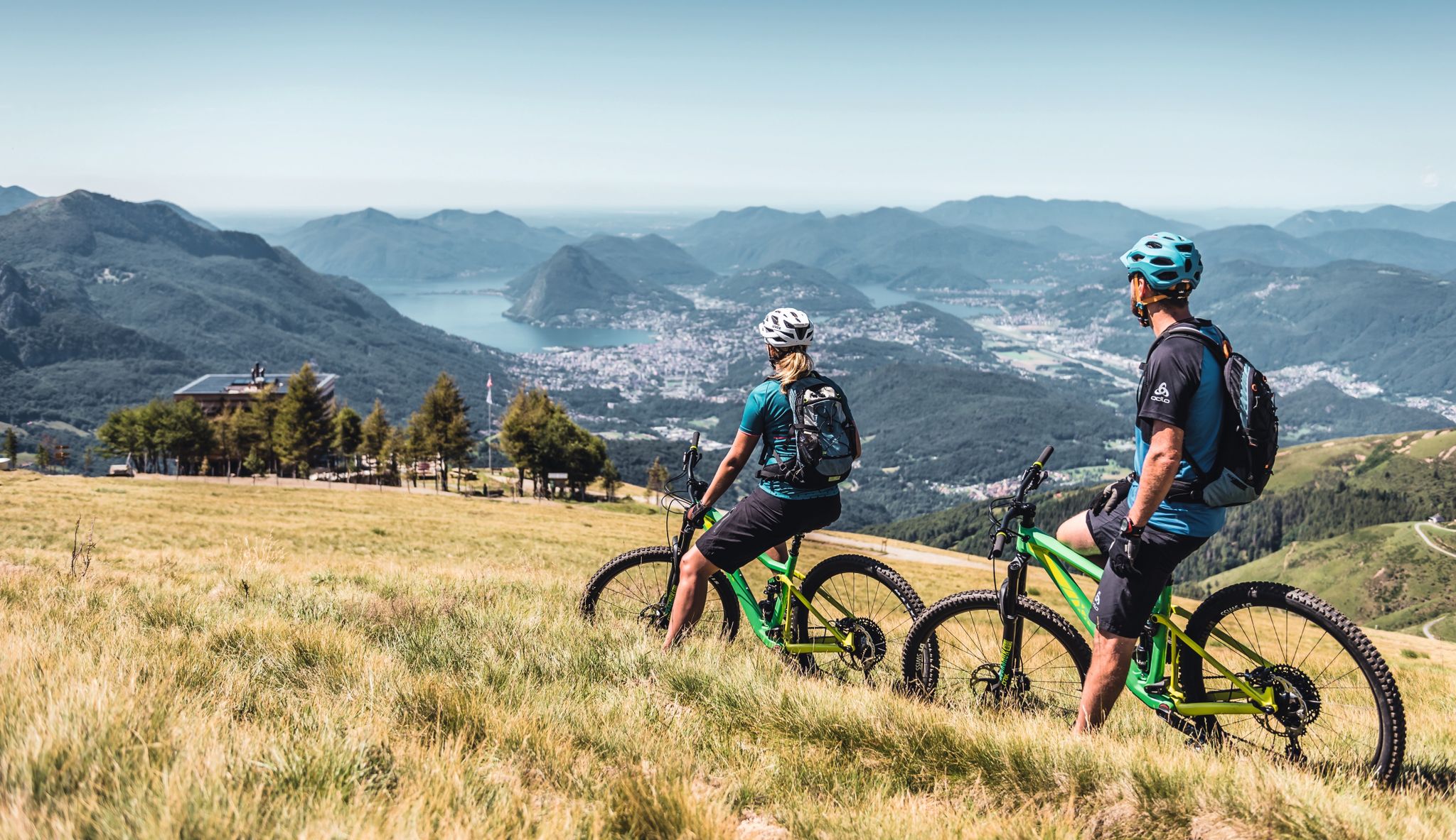
Wine, mountains & lakes – six top MTB Tours in Ticino in Switzerland
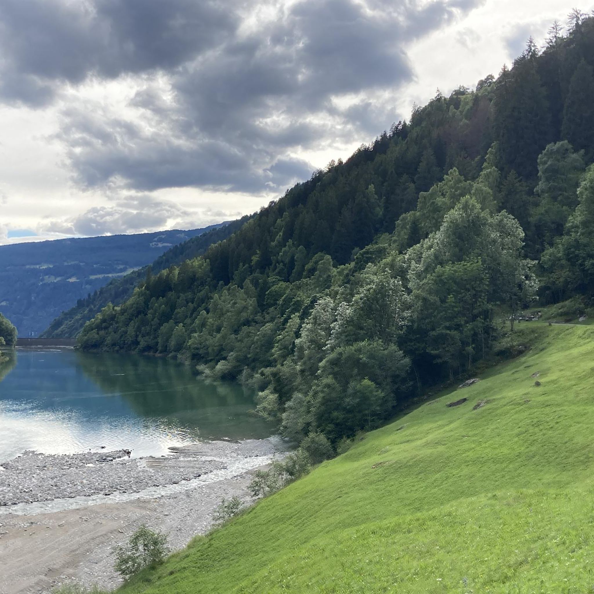
블레니오 하이킹
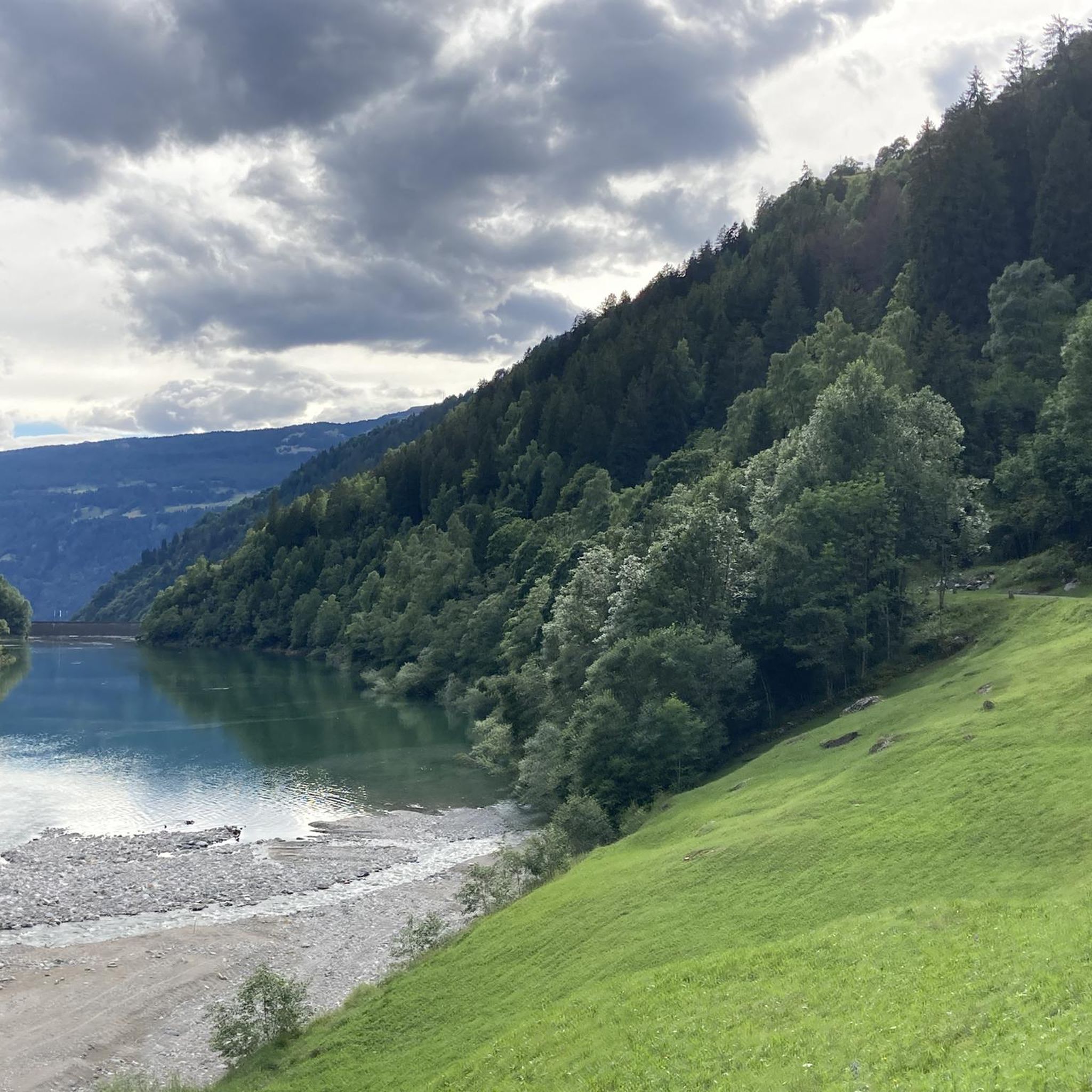
블레니오 MTB 트레일
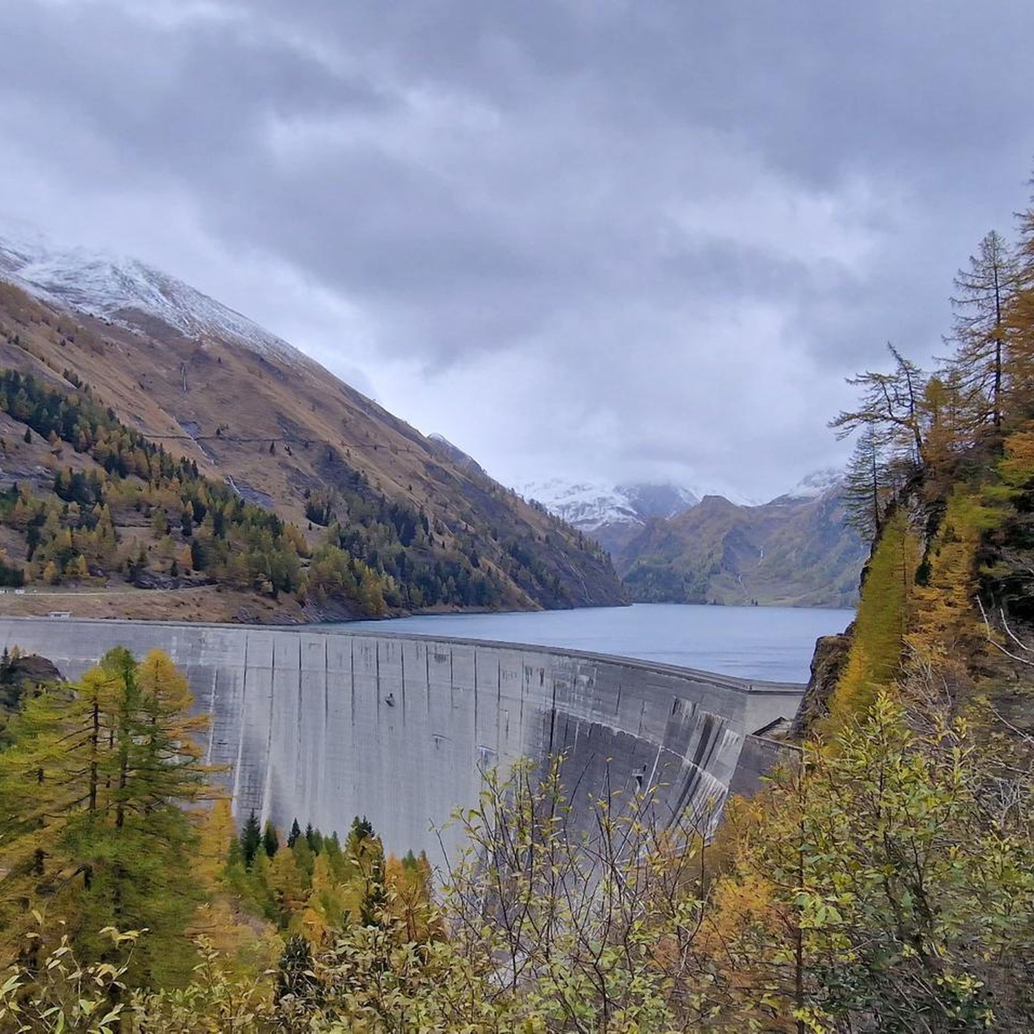
블레니오 사이클링
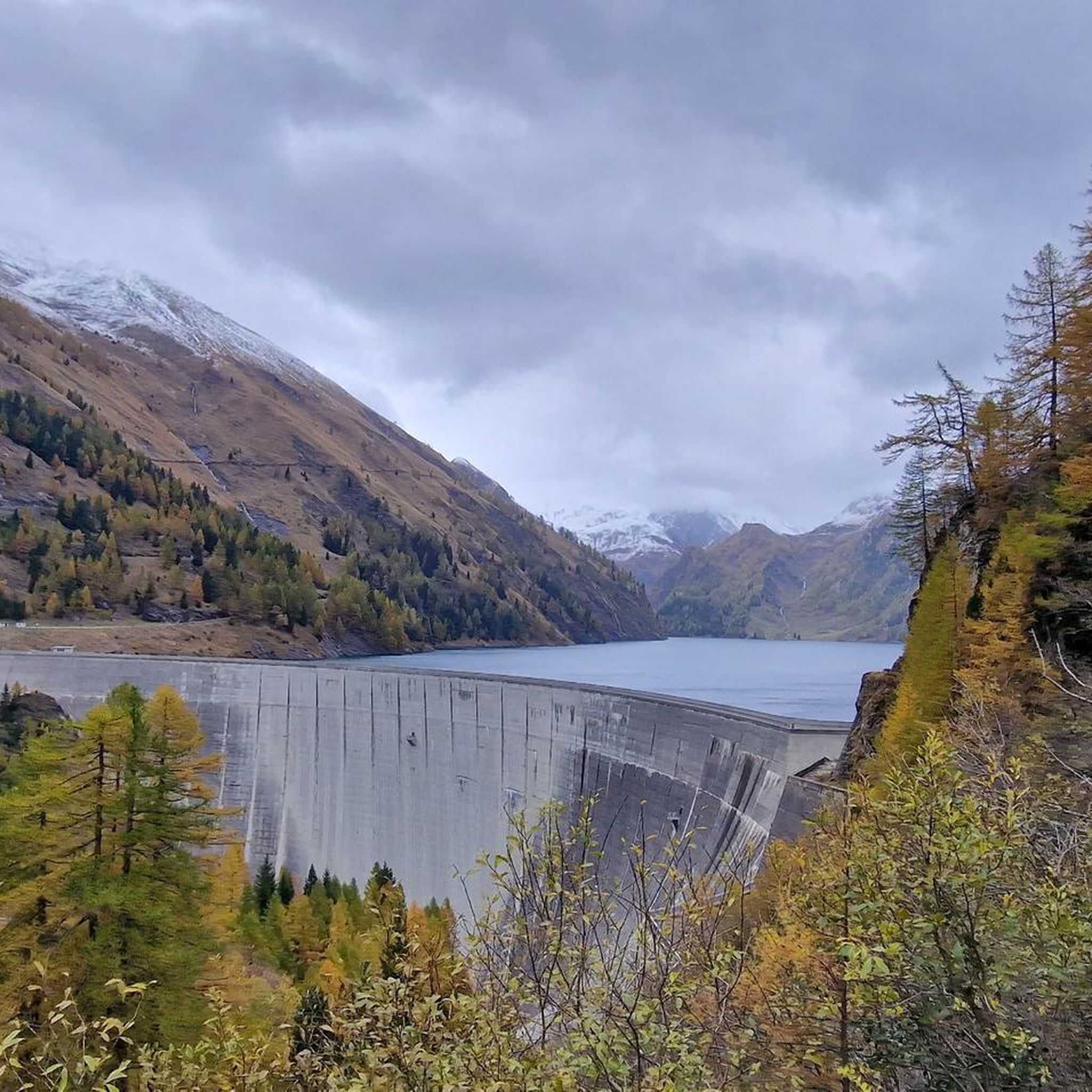
블레니오 러닝 트레일

블레니오의 다른 모험

Alpejski Passes Trail - 완로이 대리스타일 아습니다.

하이킹 컬렉션 에 의해

Adventurer Nic

커뮤니티 팁

Associazione BlenioBike
4월 24, 2026, Acquarossa Thermal Springs

Acquarossa는 Blenio 계곡 중심부에 위치하며, 모든 취향에 맞는 멋진 산악자전거 코스가 가득한 곳입니다. komoot www.komoot.com/it-it/collection/3576744/-blenio-bike-28-tour-mtb-in-valle-di-blenio-la-valle-del-sole 또는 협회 공식 웹사이트 www.bleniobike.ch에서 확인해 보세요.

번역: Google

0

0

멋진 산악 마을, MTB 또는 하이킹을 위한 훌륭한 출발점입니다. 자세한 내용은 www.bleniobike.ch 웹사이트 또는 komoot의 공식 루트 컬렉션을 방문하세요: https://www.komoot.com/it-it/collection/3576744/-blenio-bike-28-tour-mtb-in-valle-di-blenio-la-valle-del-sole

번역: Google

0

0

The black rocks are really wonderful to look at. Was one of the highlights of my tour.

번역: Google

2

0

Lukmanier Pass When the Disentis monastery was founded around 720, the Lukmanier Pass, which could be crossed without great difficulty and was also considerably lower than the other passes in the Alps, became very important. During the Staufer period, it was considered the most important north-south connection to Italy. However, it quickly lost this role to the Gotthard and Splügen passes. In 1374, the Disentis monastery built the "Hospezi S. Maria" with a chapel on the top of the pass. Both had to make way for the construction of the reservoir in 1964. The new hospice at the current location was inaugurated on August 1, 1965 and the chapel in 1967. The Lukmanier Pass played an important role in the choice of the route of an Alpine railway at times, because the planners assumed that it would be possible to build it without an expensive summit tunnel. In 1869, however, the decision was made in favor of the Gotthard railway. Between 1872 and 1877, a modern road was built over the Lukmanier. With the construction of the "Lai da Sontga Maria" reservoir in the 1960s, the road on the Graubünden side had to be relocated to a gallery. The importance of a supra-regional transport axis ended with the opening of the motorway tunnel through the Gotthard. Tourism in the Surselva began to suffer greatly as a result, especially as the pass was closed during the winter from 1980 onwards. On the initiative of the municipality of Disentis and the Surselva mountain railways in particular, the "Pro Lucmagn" association was founded, which has been responsible for ensuring that the Lukmanier pass remains open for as long as possible in winter since 2005. The canton, district, municipalities and tourism in both Graubünden and Ticino provide the finances. The five-year trial phase was positive. This project has been secured for the long term since 2011. Clearly to the benefit of tourism in the Surselva as well as in the Blenio Valley. Text / Source: Interest Group for Alpine Passes IAP, PO Box 11, 6491 Realp https://www.alpen-paesse.ch/de/alpenpaesse/lukmanierpass/

번역: Google

12

2

The Gorda hut is an alpine refuge at almost 1800 m above sea level. It's a perfect place for a regenerating break during a run.

번역: Google

1

0

Here you run on a narrow path that crosses soft green meadows and fragile sharp rocks.

번역: Google

1

0

Lake Luzzone is located in the upper Blenio valley at 1590 meters above sea level. It is an artificial basin originating from a 225 meter high dam and completed in 1963.

번역: Google

2

0

The town is of Etruscan origin and dates back to the mid-7th century BC. The current name derives from the nearby iron-rich water source.

번역: Google

1

0

블레니오에서 가장 인기 있는 경로

블레니오 하이킹

블레니오에서 가장 인기 있는 명소

Places to see

Store rating

komoot 모바일 앱으로 영감을 받아보세요

무료 komoot 계정로 끝없는 야외 모험을 손쉽게 찾고, 맞춤 설정하며 길안내할 수 있어요.

또는

지금 komoot에 가입하세요

Store rating

찾고 계신 것을 찾지 못하셨나요?

블레니오의 최고의 봉우리와 정상들을 지역별로 발견해보세요:

세라발레아쿠아로사

근처 어드벤처 가이드

아쿠아로사 즐길거리

background

새로운 정복을 위한 준비를 하세요

무료로 가입하기

탐험하기
경로경로 플래너기능바우처 사용하이킹MTB 트레일로드 사이클링 경로바이크패킹사이트맵
앱 다운로드
소셜 미디어에서 팔로우하기

© komoot GmbH

개인 정보 보호 정책
