세비오에서 가장 멋진 20개의 산 정상
세비오의 산 정상에 오르면 이 지역의 아름다운 모습을 제대로 구경할 수 있어요. 다만, 20
곳이나 되는 산 정상 중에서 어떤 곳을 가야 할 지 고민된다는 게 문제죠. 세비오에서 가장 멋진 산 정상을 살펴본 후에 마음에 드는 산 정상을 다음 모험 계획에 추가해보세요.
마지막 업데이트: 9월 26, 2026
카판나 코르노 그리예스
하이라이트 • 산장
번역자 Google •
팁에 의해


이런 장소를 발견하려면 지금 가입하세요
최고의 싱글 트랙, 봉우리 및 다양한 흥미로운 야외 장소에 대한 추천을 받아보세요.




커뮤니티 팁

성 고트하르트 고개는 스위스에서 가장 유명하고 역사적인 알프스 고개 중 하나입니다. 레폰틴 알프스에 해발 2,106미터 높이에 위치하며 중앙 유럽과 남부 유럽을 연결합니다. 구체적으로는 티치노주(아롤로)와 우리주(호스펜탈)를 직접 연결하는 도로 역할을 합니다. 정상과 산괴는 여행의 필요에 따라 여러 가지 방법으로 넘을 수 있습니다: 신 고트하르트 고개 도로: 여름철에 경치 좋고 원활한 현대식 아스팔트 도로입니다. 트레몰라: 24개의 포르피리 석판으로 포장된 구불구불한 길로 유명한 역사적인 남쪽 경사면으로, 자전거 타는 사람, 오토바이 타는 사람, 향수를 느끼는 사람들이 매우 좋아합니다. 도로 터널(A2): 연중 개방되는 16.9km 길이의 고속도로 터널로 빠르지만 교통 체증과 줄이 자주 발생합니다. 철도 터널: 1882년의 선구적인 터널과 현대적인 성 고트하르트 베이스 터널을 포함하여 초고속입니다.
2
0

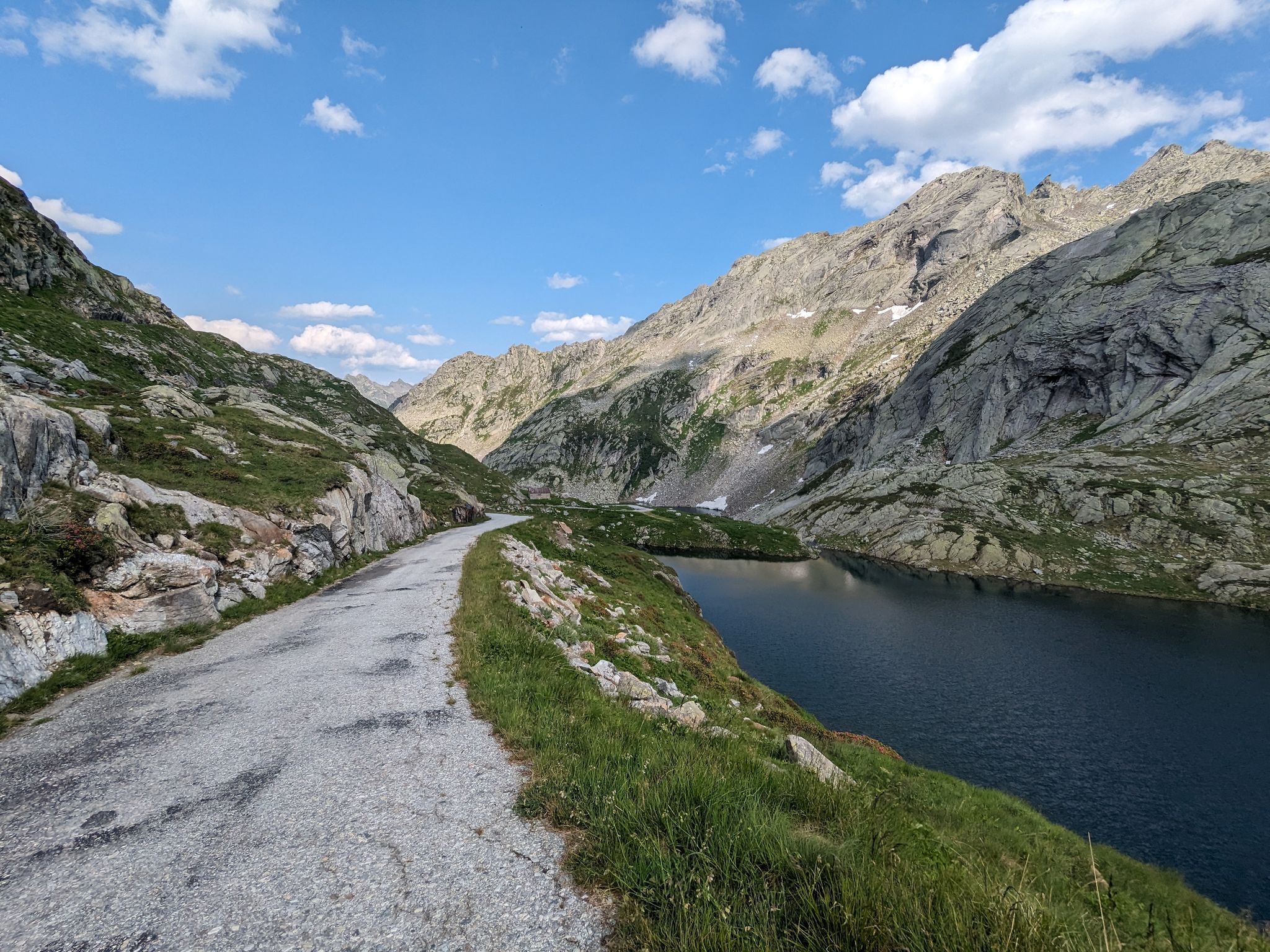
The pass between Italy and Switzerland. From the Maria Luisa Refuge, the route is easy and can also be used by mountain bikers.
1
1

Border Excursion 🇮🇹🇨🇭 to the San Giacomo Pass 🚴
1
0

Good CAS hut at the westernmost tip of Ticino.
2
0

Good mountain hut, nice team. Too few toilets for the number of beds.
4
0


The BICIGRILL is a very recent architectural structure (as of 09/28/2023 the structure was completed externally but all parts of the finishes and furnishings are missing inside) created with the aim of being a place of refreshment for cyclists and hikers but also shelter for the night. It is located on the Riale-Bedretto cycle route established by the INTERREG project which began work on creating and rebuilding paths in 2019. This structure was built on the foundations of the old Guardia di Finanza barracks which, given the state in which it was located, was demolished. The San Giacomo pass has a strong symbolic value for the area in which it is located, in fact it can be considered an umbilical cord of intense cultural and commercial exchanges between the two regions. Today, even more so, with a view to leisure and sport. The project we have involves the construction of a rest point for cyclists with some beds that will serve as support on a hiking route which will be even more popular with the development of the cycle path. The new cycle route corresponds to the missing link of a route that from Airolo, at the foot of the Gotthard Pass, will reach Lake Maggiore from where numerous other connections can be opened. The route will be marked with signs for around eighty kilometers and on the Italian side it will wind from Formazza along the Antigorio valley to Domodossola.
1
2

Brilliant transition from Val Formazza to Bedretto Valley. Can be done excellently with a gravel bike. To descend into the Bedretto Valley, it is best to take the traverse towards the Gorno Gries hut and then push down onto the Nufenen pass road.
0
0


더 살펴보기
이 가이드를 통해 세비오 주변의 더 놀라운 정상들을 확인해보세요:
