카를스루에 최고의 워킹 & 하이킹 경로
4.6
(21130)
88,046
등산객
4,696
하이킹
카를스루에에서 하이킹하며 카를스루에 지구 구석 부분까지 살펴볼까요? 카를스루에에 있는 모든 하이킹 및 워킹 경로 컬렉션 중 가장 멋진 하이킹 경로를 엄선하여 소개해드릴게요. 다른 하이커가 공유한 실제 팁과 사진을 살펴보고 후기를 읽으며 마음에 드는 카를스루에 워킹 경로를 찾아보세요.
마지막 업데이트: 10월 1, 2026
4.8
(293)
853
등산객
7.74km
02:09
140m
140m
보통 하이킹. 좋은 체력 필요. 대부분 갈 수 있는 길. 미끄러지지 않게 조심해야 함.
4.8
(205)
663
등산객
13.2km
03:35
190m
190m
보통 하이킹. 좋은 체력 필요. 대부분 갈 수 있는 길. 미끄러지지 않게 조심해야 함.

4.7
(191)
646
등산객
9.21km
02:36
190m
190m
보통 하이킹. 좋은 체력 필요. 실력과 관계없이 누구나 쉽게 갈 수 있는 길.
4.5
(125)
379
등산객
6.99km
02:01
180m
180m
보통 하이킹. 좋은 체력 필요. 실력과 관계없이 누구나 쉽게 갈 수 있는 길.
4.5
(123)
389
등산객
7.38km
02:06
160m
160m
보통 하이킹. 좋은 체력 필요. 실력과 관계없이 누구나 쉽게 갈 수 있는 길.
4.6
(126)
328
등산객
11.0km
02:59
150m
160m
보통 하이킹. 좋은 체력 필요. 대부분 갈 수 있는 길. 미끄러지지 않게 조심해야 함.
4.8
(102)
389
등산객
4.09km
01:06
50m
60m
초급용 하이킹. 모든 체력 수준에 적합. 실력과 관계없이 누구나 쉽게 갈 수 있는 길.
4.7
(79)
277
등산객
5.74km
01:36
110m
110m
초급용 하이킹. 모든 체력 수준에 적합. 실력과 관계없이 누구나 쉽게 갈 수 있는 길.
4.5
(70)
234
등산객
14.3km
03:55
220m
220m
보통 하이킹. 좋은 체력 필요. 대부분 갈 수 있는 길. 미끄러지지 않게 조심해야 함.
4.8
(50)
161
등산객
16.4km
04:33
280m
280m
보통 하이킹. 좋은 체력 필요. 실력과 관계없이 누구나 쉽게 갈 수 있는 길.
더 다양한 경로와 다른 탐험가들의 추천을 살펴보세요.
이미 komoot 계정이 있나요?
투어 추천은 다른 사람들이 komoot에서 완료한 수천 개의 활동을 바탕으로 구성되어 있습니다.
오늘 무료 계정으로 시작하세요
다음 모험이 기다리고 있어요.
카를스루에의 다른 모험


커뮤니티 팁

분수는 16세기에 만들어졌으며, 조각상은 지역 및 도시 문장을 들고 있습니다. 분수는 수세기에 걸쳐 여러 번 이전되었으며 현재는 알프 강변 산책로에 아름다운 자리를 잡았습니다. 조각상은 복제품이며 원본은 박물관에 있습니다.
3
0
이페핑거 라인(Eppinger Linie)의 역사적인 장소와 관련된, 살아 움직이는 두 개의 실물 크기보다 큰 거울이 있는 흥미로운 설치물입니다(금속판에 정보 제공).
4
0

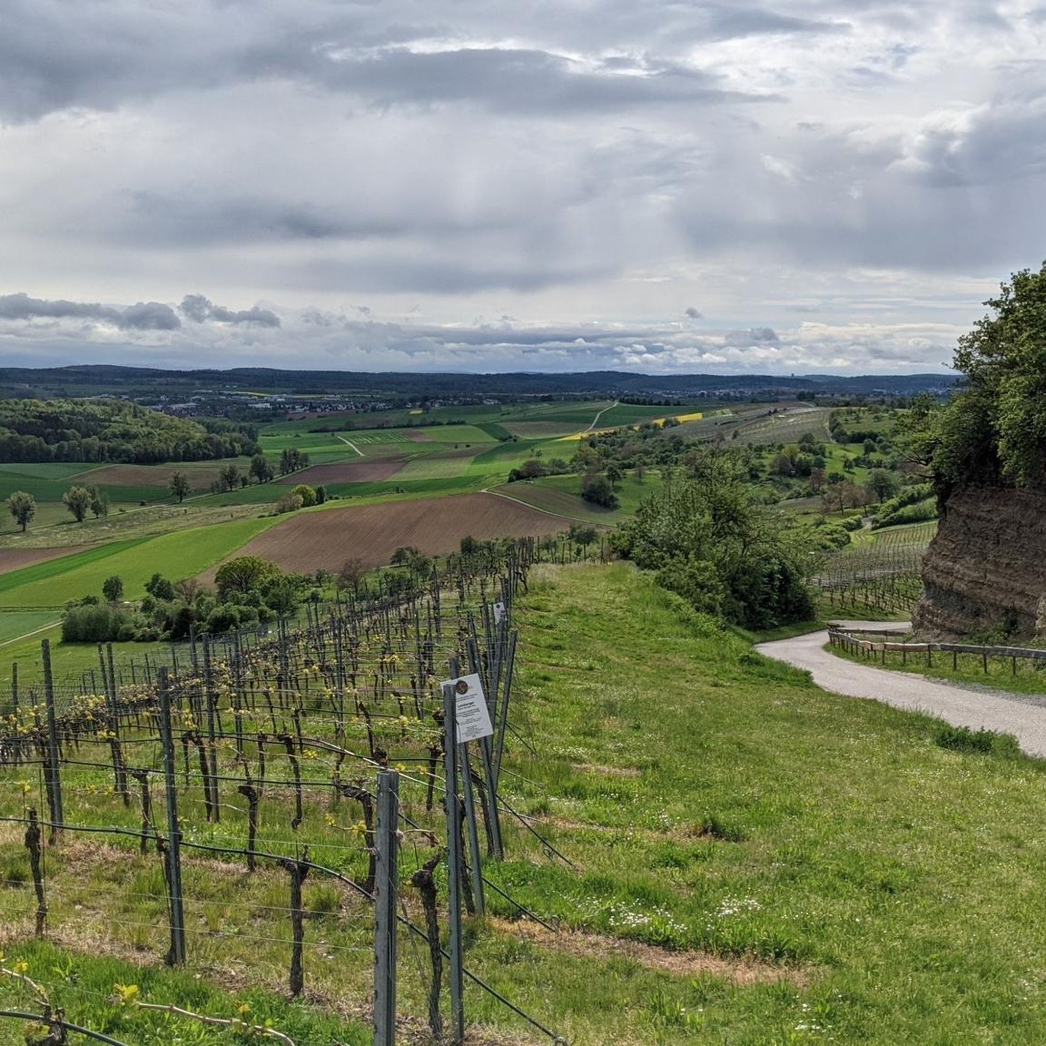
해발 287미터에 위치한 Derdinger Horn의 고개는 포도밭과 숲 사이에 있는 Oberderdingen 위에 자리 잡고 있으며, Kraichgau를 멀리 내다볼 수 있습니다. 고개 표지판 앞에서 셀카를 찍어 Wall of Fame에 업로드하세요 (고개 표지판의 QR 코드를 이용하거나 www.imsuedenganzoben.de/kraichgau-stromberg/de/huegel-paesse 웹사이트를 통해).
0
0

포도밭 위쪽의 좌석 공간으로, 13세기 수도사들이 조성한 아래쪽의 Bernhardsweiher와 주변 풍경을 조망할 수 있습니다.
3
0

Beautiful view over Sulzfeld
0
0
The memorial by Ettlingen sculptor Volker Erhard, also known as Voré, was erected in 1969 by order of the municipality of Ruit to commemorate the victims of the wars. Unfortunately, the memorial has been increasingly vandalized in recent years, so that it is now secured by a construction fence.
4
0
The Ruiter observation tower stands within the boundaries of the town of Knittlingen (formerly Kleinvillars), but on a field belonging to the town of Bretten, acquired by a family from Ruiter. Before the land consolidation in the 1970s and 80s, the site was part of Ruiter's territory; afterwards, it was part of Kleinvillars', because the boundary line was adjusted to follow the field paths. Previously, the border, which was also the state border between Baden and Württemberg, ran right through the newly created plots. On the other side of the district road is Brettener territory, formerly part of Ruiter's. That's where the tower was originally intended to be. However, the field belongs to someone from Kleinvillars, and he didn't want to sell! (His right.) Building the tower on the Ruiter side of the field path that crosses the district road wasn't possible either, because that area is still designated as a village reserve by the nature park. There would have been no subsidy for the tower there. So, the only remaining option for the Badener tower was the site in Swabia. Now borders unite! The coats of arms of the participating towns and villages, as well as the state, adorning the tower are a symbol of unity after all the divisions of past centuries, and a thank you to everyone involved. On a clear day, from the tower you can see the Palatinate Forest and the Phillipsburg nuclear power plant to the northwest, Ravensburg Castle and the Derdinger Horn hill to the northeast, and the Stromberg hills to the east.
6
0


찾고 계신 것을 찾지 못하셨나요?
카를스루에에서 더 많은 하이킹를 확인하고 목적지에서 완벽한 경로를 찾아보세요.
더 살펴보기
다른 지역의 최고의 하이킹를 살펴보세요.
