비렌바흐에서 가장 멋진 10개의 산 정상
비렌바흐의 산 정상에 오르면 이 지역의 아름다운 모습을 제대로 구경할 수 있어요. 다만, 10
곳이나 되는 산 정상 중에서 어떤 곳을 가야 할 지 고민된다는 게 문제죠. 비렌바흐에서 가장 멋진 산 정상을 살펴본 후에 마음에 드는 산 정상을 다음 모험 계획에 추가해보세요.
마지막 업데이트: 10월 23, 2026
호헨슈타우펜 성터와 전망대
하이라이트 • 성
번역자 Google •
팁에 의해

호헨레흐베르크 성모 마리아 순례교회
하이라이트 • 종교적 장소
번역자 Google •
팁에 의해

이런 장소를 발견하려면 지금 가입하세요
최고의 싱글 트랙, 봉우리 및 다양한 흥미로운 야외 장소에 대한 추천을 받아보세요.

호흐베르크 정상 (498m)
하이라이트 • 정상
번역자 Google •
팁에 의해


오늘 무료 계정으로 시작하세요
다음 모험이 기다리고 있어요.

커뮤니티 팁

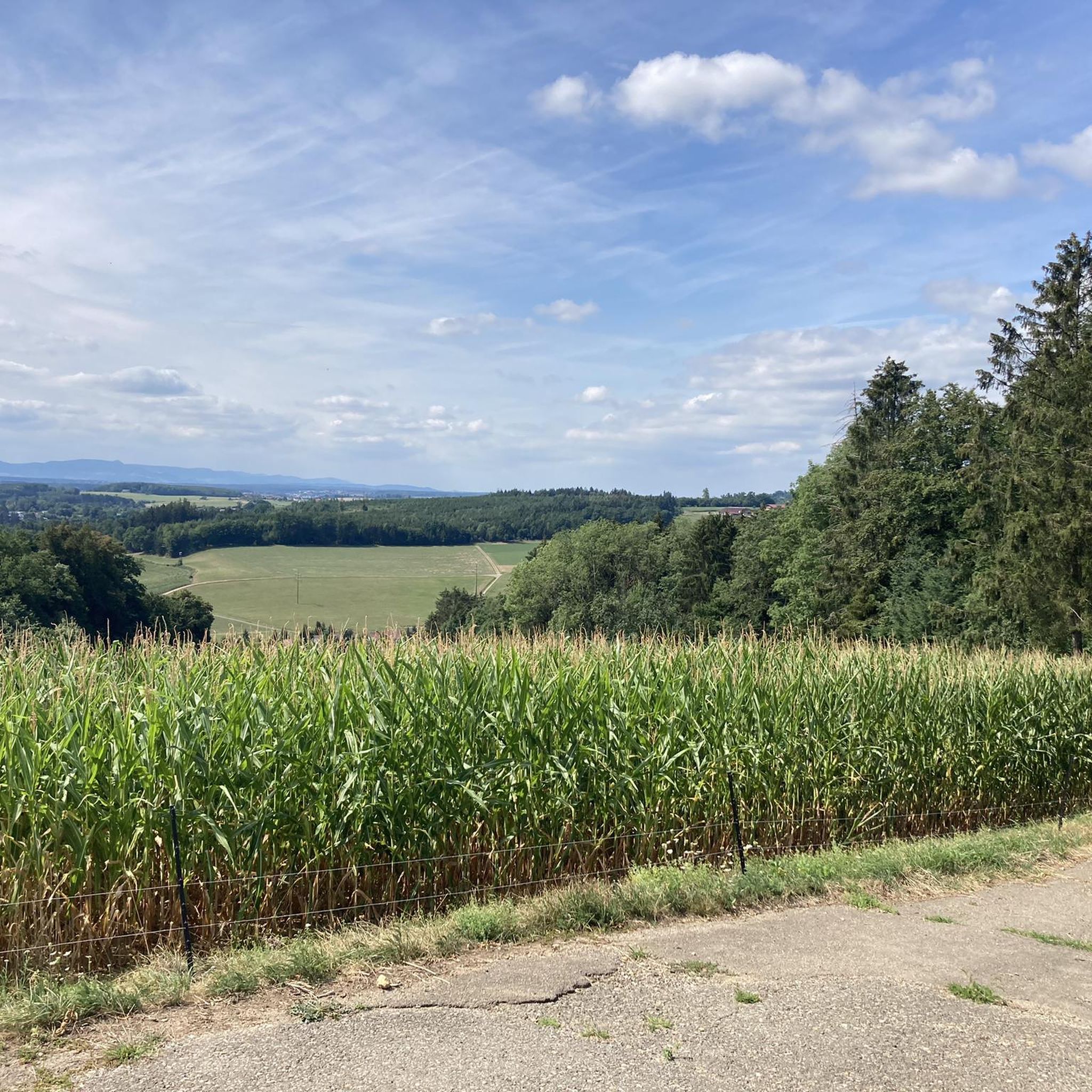
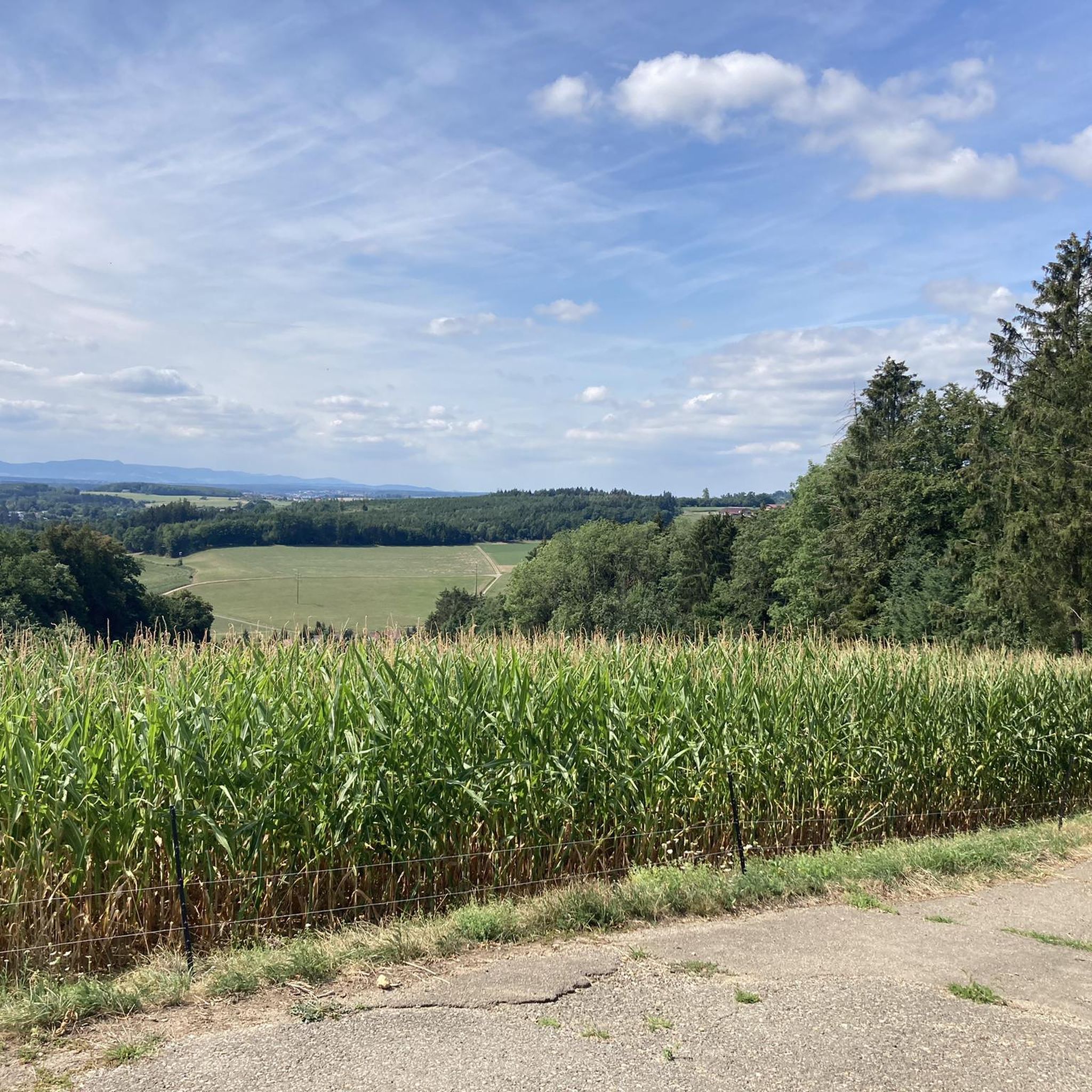
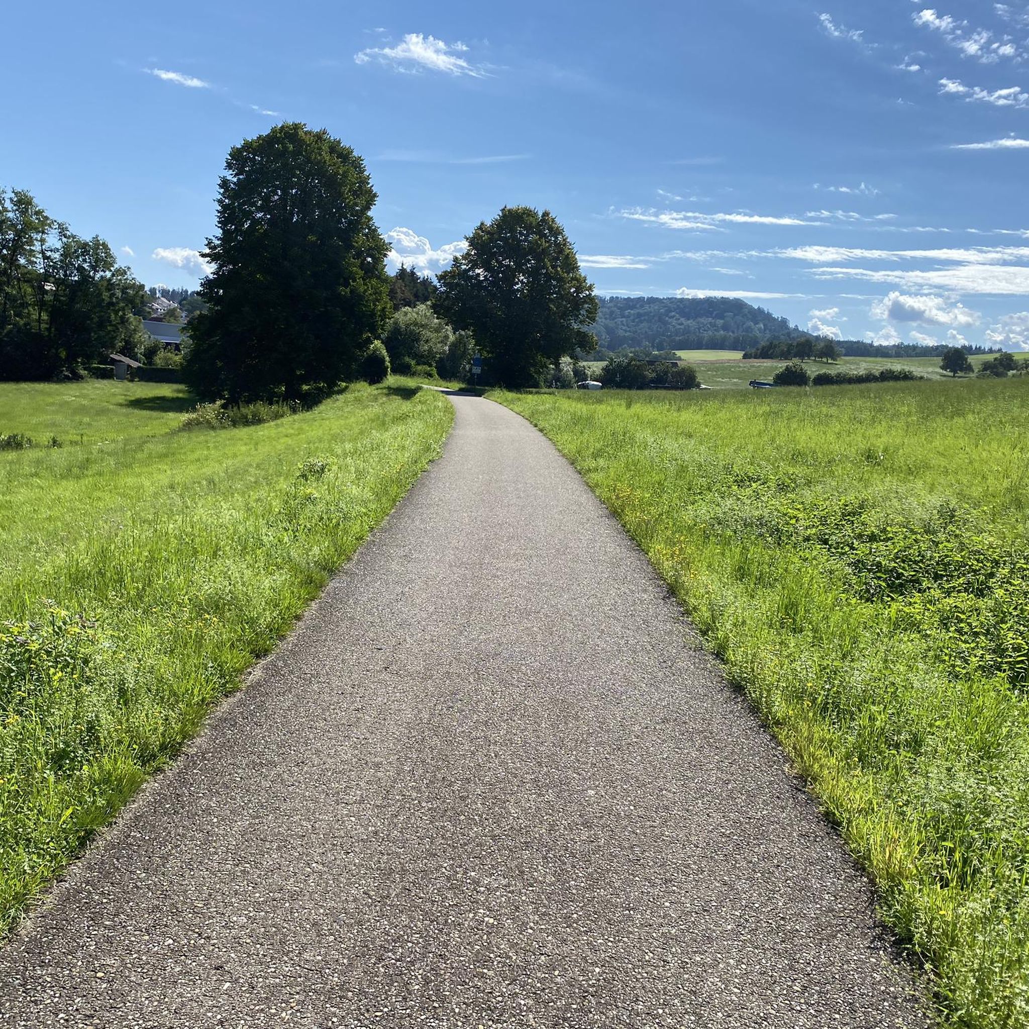
The Hohe Rechberg from the back, otherwise I always see it from the south.
4
0

A great route from the Hölltal in Schwäisch Gmünd up via Metlangen and then the Rechberg to the Schurrenhof with great views.
2
0


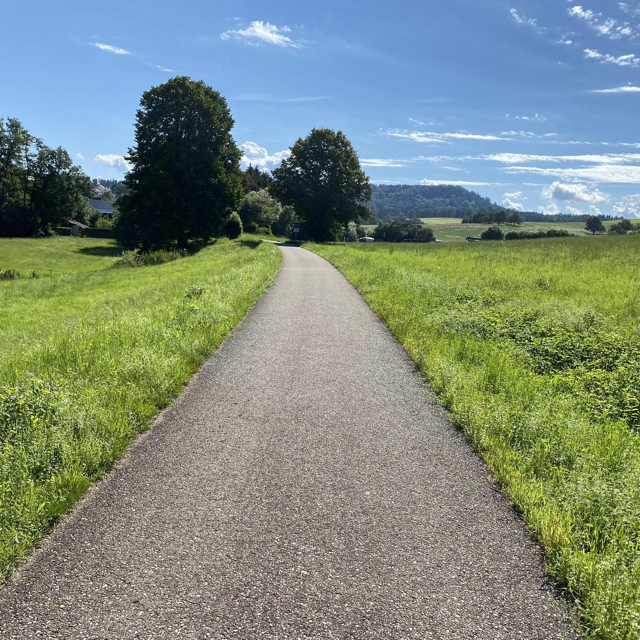
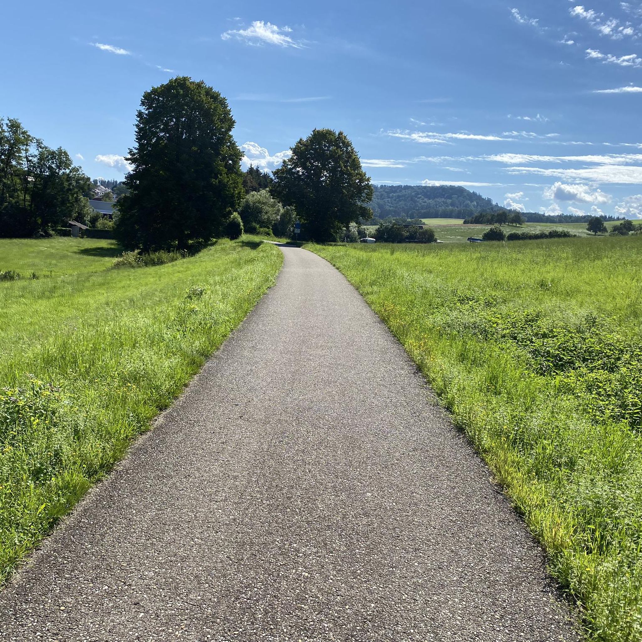
The railway line is great to drive with many such views
4
0

Very nice to ride the bike 🚴🏿 ♀️ great hm you can do it
1
0

The 498 meter high Hohberg does not offer a view, but at its highest point there is a hut and a summit cross.
1
0

The Hohenstaufen is a 684 m above sea level. NHN[1] high witness mountain near Göppingen in front of the Swabian Jura. Its cone is visible from afar and is a striking element of the landscape silhouette around Göppingen. In addition to the Stuifen and the Rechberg, the Hohenstaufen is the westernmost of the three Kaiserberge mountains, which are close together and lie between the Rems valley in the north and the Lauter and Fils valleys in the south. The part of the name staufen corresponds to the old name Stauf for a pointed, cone-shaped mountain (derived from the West Germanic adjective *staupa- meaning "steep").[2] On the mountain are the ruins of the ancestral castle of the Staufer noble family, the former Hohenstaufen Castle. A panel on the summit explains the panorama. Since June 1, 2002, a Staufer stele has stood on the mountain to commemorate the Staufer period.[3] There is also a small excursion restaurant. The summit can only be reached on foot, the shortest way from the Göppingen district of Hohenstaufen. On the south-west slope is the so-called Spielburg, a group of limestone rocks that have slipped from the White Jura rocks.
1
0
비렌바흐 주변에서 가장 인기 있는 명소


더 살펴보기
이 가이드를 통해 비렌바흐 주변의 더 놀라운 정상들을 확인해보세요:
