완젤 주변 최고의 그래블 라이딩 코스
4.5
(46)
364
자전거 타는 사람
55
라이딩
자갈길 라이딩은 완만한 언덕, 울창한 숲, 높은 지점으로 이어지는 상당한 오르막길이 특징인 풍경을 자랑합니다. 지형은 숲길과 탁 트인 구간이 혼합되어 있으며, 종종 탁 트인 전망으로 이어집니다. 일부 코스에서는 고도가 600미터를 초과할 수 있어 자갈길 사이클리스트에게 도전적인 환경임을 나타냅니다. 이 지역은 자갈길 자전거에 적합한 다양한 노면을 제공합니다.
Wanzel 주변 최고의 자갈길 코스
- 가장 인기 있는 자갈길 코스는 킨츠하임 출발 오-쾨니히스부르크 성 오르막길 빅 오크 루프로, 18.8마일(30.3km) 길이이며 완료하는 데 2시간 14분이 걸립니다. 이 코스는 역사적인 랜드마크를 향한 상당한 오르막길을 특징으로…
마지막 업데이트: 9월 9, 2026
4.5
(2)
13
자전거 타는 사람
26.0km
02:04
470m
470m
어려운 자갈길 타기. 우수한 체력 필요. 대부분 포장된 지면. 실력과 관계없이 누구나 갈 수 있음.
4.5
(2)
44
자전거 타는 사람
84.3km
05:17
890m
890m
어려운 자갈길 타기. 우수한 체력 필요. 대부분 포장된 지면. 실력과 관계없이 누구나 갈 수 있음.

4.7
(3)
27
자전거 타는 사람
61.7km
04:09
840m
850m
어려운 자갈길 타기. 우수한 체력 필요. 대부분 포장된 지면. 실력과 관계없이 누구나 갈 수 있음.
5.0
(1)
6
자전거 타는 사람
48.3km
03:59
980m
980m
어려운 자갈길 타기. 우수한 체력 필요. 투어 중 자전거를 끌고 가야 하는 구간이 있을 수 있음.
5.0
(1)
24
자전거 타는 사람
46.8km
02:44
390m
390m
보통 자갈길 타기. 좋은 체력 필요. 대부분 포장된 지면. 실력과 관계없이 누구나 갈 수 있음.
더 다양한 경로와 다른 탐험가들의 추천을 살펴보세요.
이미 komoot 계정이 있나요?
투어 추천은 다른 사람들이 komoot에서 완료한 수천 개의 활동을 바탕으로 구성되어 있습니다.
오늘 무료 계정으로 시작하세요
다음 모험이 기다리고 있어요.
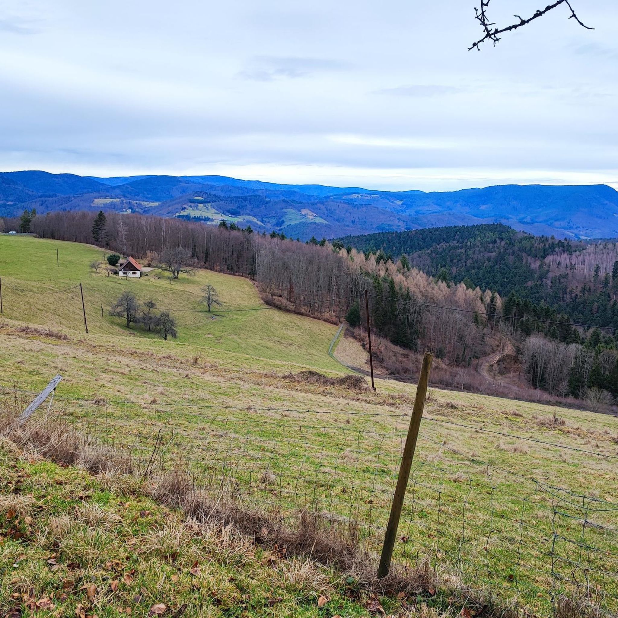
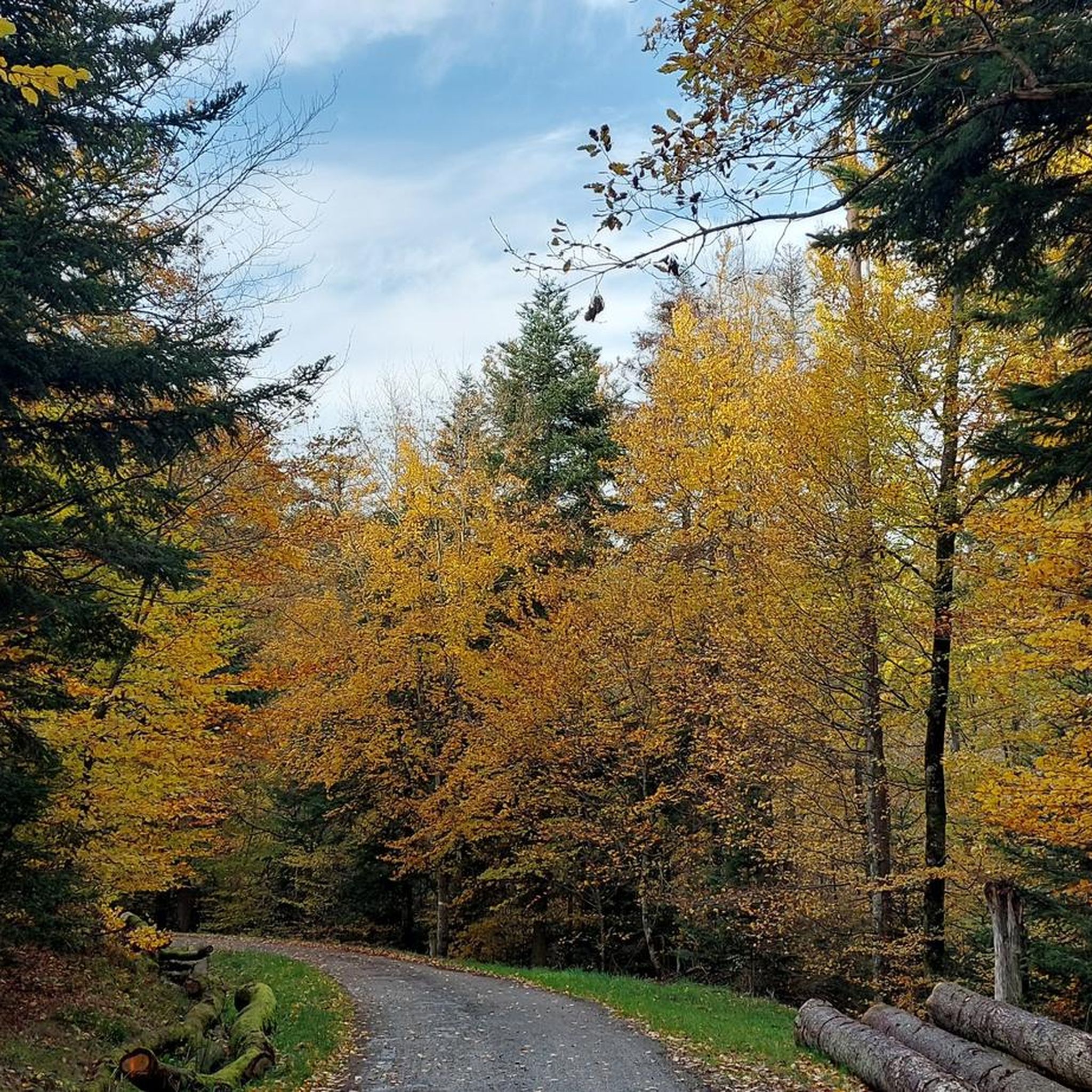
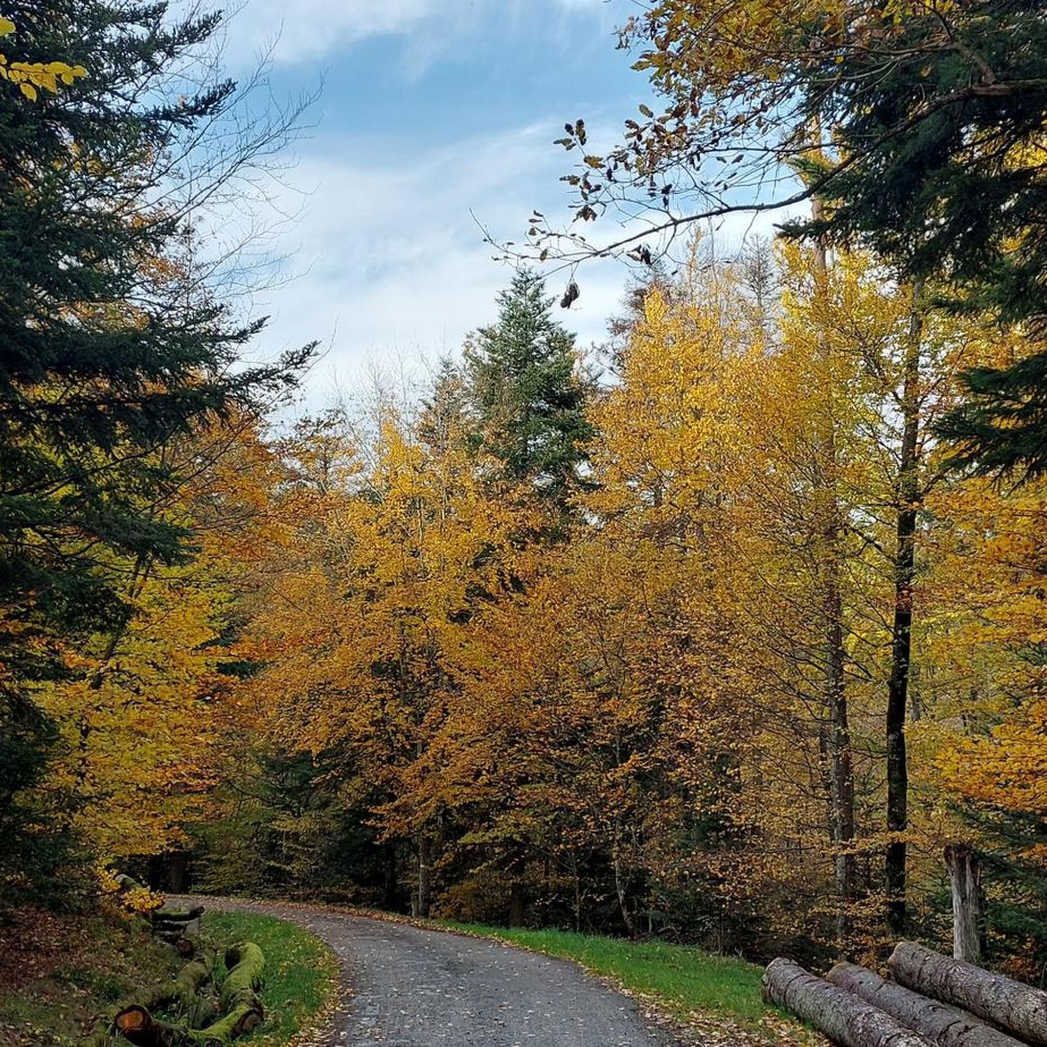
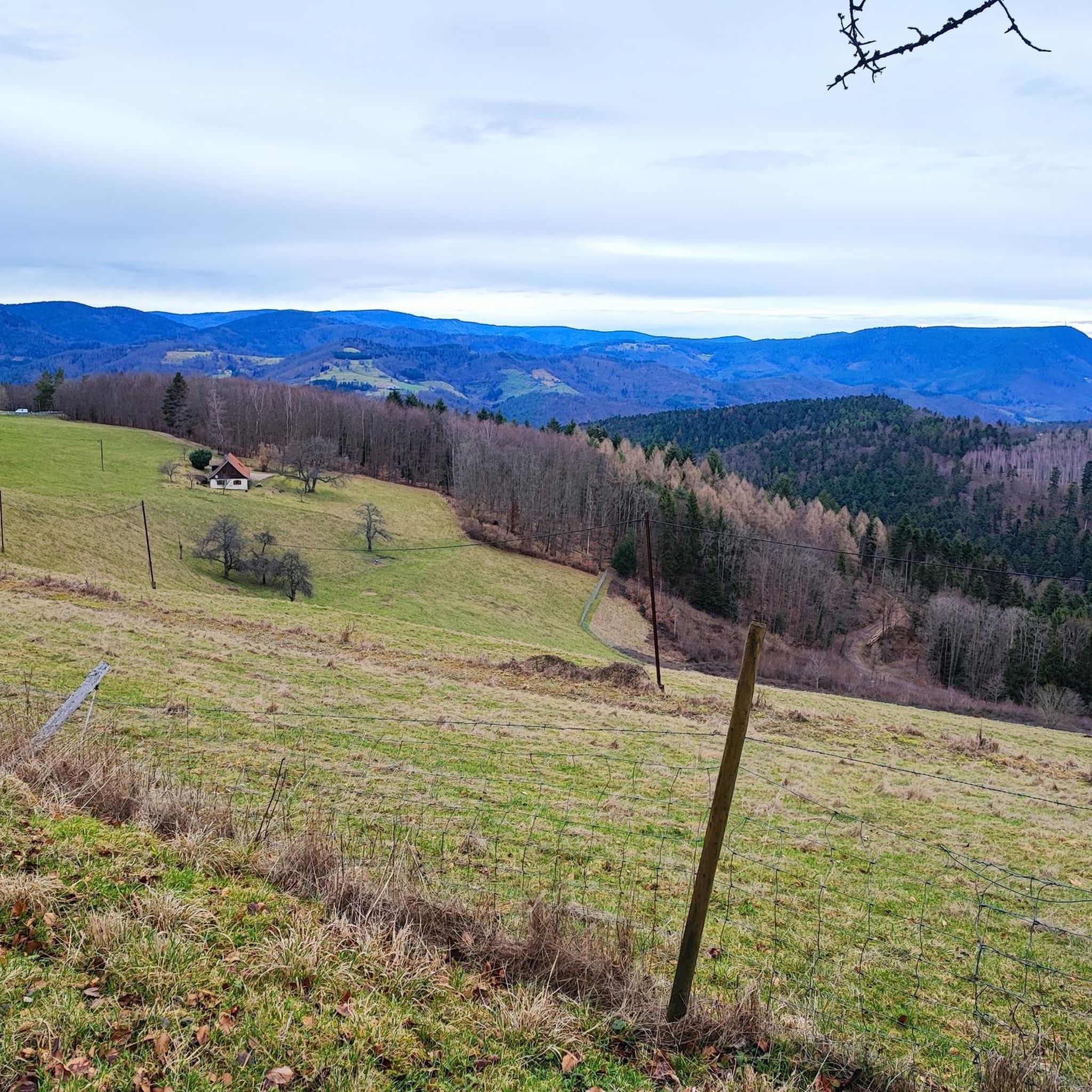
커뮤니티 팁


독일에서 오는 산티아고 데 콤포스텔라 순례길에 있는 아름다운 작은 마을입니다.
0
0

The Upper Gate was built in the 14th century and renovated in the 16th century.
5
0

St. Sebastian Chapel is a listed historical monument (since 1921) and was the former parish church of the vanished village of Oberkirch. It combines a 12th-century Romanesque bell tower with a Gothic nave (dating from 1285). Particularly noteworthy are the Baroque high altar by the Winterhalder brothers (1692) and the Romanesque charnel house on the northeast side. The chapel is situated in the vineyards above Dambach-la-Ville, offering a sweeping panorama across the Rhine plain, and is privately owned by a civic brotherhood of 32 local families.
0
0


Andlau was founded in 880 by Empress Richardis. She had been banished by her husband, Emperor Charles III, and was later canonized. Her tomb in Andlau became a place of pilgrimage. According to legend, a wild bear showed her the perfect spot (Wikipedia). Wonderful Crus are produced from the vineyards here.
5
0
The cycle paths in Alsace are really great and very easy to ride.
5
0
완젤 주변에서 가장 인기 있는 명소


더 살펴보기
다른 지역의 최고의 그래블 라이딩를 살펴보세요.
