니더나이 주변 최고의 그래블 라이딩 코스
4.2
(42)
285
자전거 타는 사람
73
라이딩
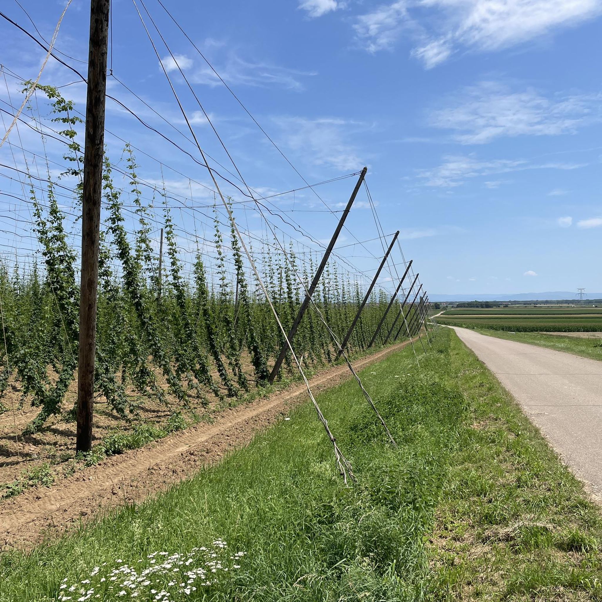
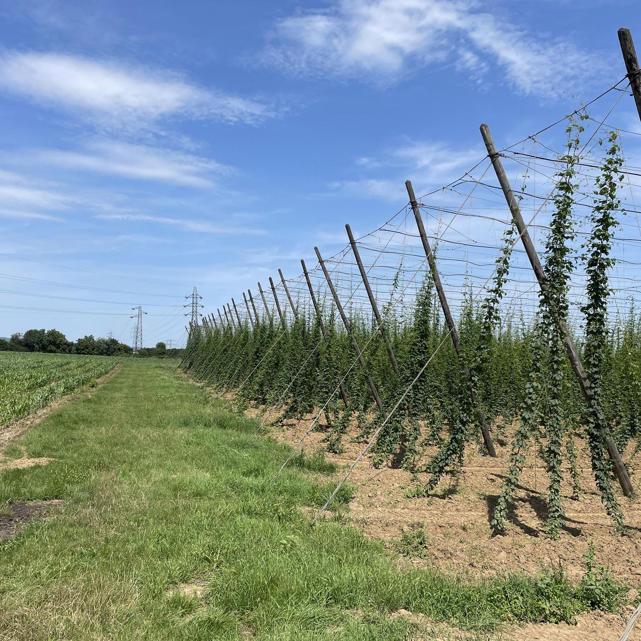
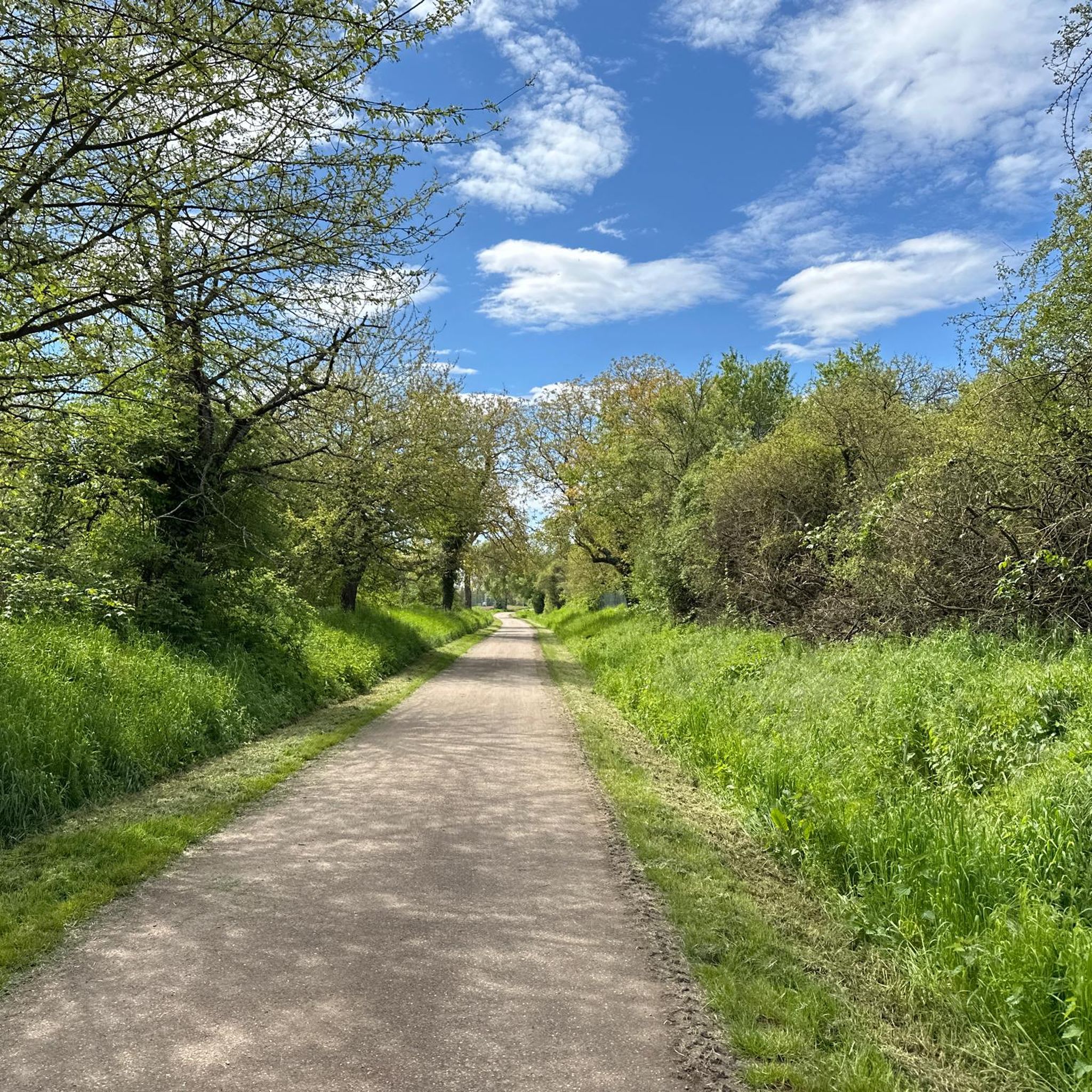
그래블 바이크를 타고 Niedernai 주변을 달리면 농경지와 보주 산맥 기슭을 포함한 다양한 지형으로 이루어진 풍경을 탐험하는 코스를 즐길 수 있습니다. 이 지역은 구불구불한 언덕과 숲이 우거진 구간이 특징이며, 다채로운 라이딩 경험을 선사합니다. 많은 코스에는 상당한 오르막과 내리막이 포함되어 있어 도전적인 오르막과 경치 좋은 내리막을 추구하는 라이더에게 적합합니다. 이 지역의 트레일 네트워크는 그래블 바이크에 매우 적합하며, 다양한 자연 경관을 연결하고 포도밭의 전망을 제공합니다.
Niedernai 주변 최고의 그래블 바이크 트레일
- 가장 인기 있는 그래블 바이크 트레일은 Bischoffsheim에서 출발하는 Sculpture La Porte –…
마지막 업데이트: 10월 6, 2026
3.5
(6)
16
자전거 타는 사람
33.1km
02:26
470m
470m
어려운 자갈길 타기. 우수한 체력 필요. 대부분 포장된 지면. 실력과 관계없이 누구나 갈 수 있음.
4.2
(6)
25
자전거 타는 사람
29.5km
02:06
620m
620m
어려운 자갈길 타기. 우수한 체력 필요. 대부분 포장된 지면. 실력과 관계없이 누구나 갈 수 있음.

4.0
(2)
11
자전거 타는 사람
38.3km
02:32
300m
300m
보통 자갈길 타기. 좋은 체력 필요. 대부분 포장된 지면. 실력과 관계없이 누구나 갈 수 있음.
3.0
(1)
14
자전거 타는 사람
72.3km
05:57
1,320m
1,320m
어려운 자갈길 타기. 우수한 체력 필요. 투어 중 자전거를 끌고 가야 하는 구간이 있을 수 있음.
5
자전거 타는 사람
77.5km
06:03
1,400m
1,400m
어려운 자갈길 타기. 우수한 체력 필요. 대부분 포장된 지면. 실력과 관계없이 누구나 갈 수 있음.
더 다양한 경로와 다른 탐험가들의 추천을 살펴보세요.
이미 komoot 계정이 있나요?
투어 추천은 다른 사람들이 komoot에서 완료한 수천 개의 활동을 바탕으로 구성되어 있습니다.
오늘 무료 계정으로 시작하세요
다음 모험이 기다리고 있어요.
커뮤니티 팁

알자스에 있는 오딜리엔베르크(763m)는 이 지역의 가장 중요한 영적 중심지입니다. 690년경 성녀 오딜리아에 의해 설립된 이 수도원은 매년 수십만 명의 순례자를 끌어들입니다. 단지의 중심에는 8세기 석관에 수호 성인의 유물이 안치된 무덤 예배당과 함께 승천 성모 마리아 대성당(1687–1692)이 있습니다. 파노라마 테라스 바로 옆에는 1935년의 빛나는 황금 모자이크로 유명한 눈물 예배당과 천사 예배당(12세기)이 있습니다. 대성당 내부에는 샤를 스핀들러의 섬세한 나무 상감 십자가의 길이 있습니다. 수도원 바위 아래로는 멋진 하이킹 코스가 이어집니다. 이 코스는 1930년대 레옹 엘칭거가 붉은 사암에 직접 통합한 기념비적이고 화려한 세라믹 십자가의 길(14개 역)과 루르드 동굴을 지나갑니다. 약 15분 거리에 있는 숲 속에서는 전통적으로 눈 질환 치료에 사용되는 오딜리엔 샘이 솟아납니다. 산 전체 고원은 11km 길이의 신비로운 선사 시대 방어벽인 하이덴마우어로 둘러싸여 있습니다. 하이킹 코스를 따라 남쪽으로 더 가면, 라인 평원에서 검은 숲까지 넓은 파노라마 전망을 제공하는 능선의 가장 높은 지점인 메넬슈타인(817m)에 도달합니다. 수도원 부지는 연중 개방되며 입장료는 무료입니다. 이 짧은 텍스트를 브로셔에 사용하시겠습니까, 아니면 투어를 위한 교통편 정보를 찾고 계십니까? AI 답변에는 오류가 포함될 수 있습니다. 법률 자문은 전문가와 상담해야 합니다. 추가 정보
0
1
라인강 평원과 슈바르츠발트의 아름다운 전망대. 파노라마펠젠은 해발 780m에 위치해 있습니다.
0
0


Opening hours daily: 9:00 - 12:00 and 14:00 - 18:00.
0
0

The Saint-Nabor promontory, located in Alsace at the foot of Mont Sainte-Odile, offers a natural site rich in history and geology. It is known for its old porphyry quarries, a volcanic rock formed in the Carboniferous period, exploited long before their closure in 2002. The promontory rises to an altitude of approximately 340 meters in a semi-continental microclimate favoring vineyards and forests. It constitutes a belvedere offering a remarkable panorama of the Alsace plain, as far as Strasbourg and the Black Forest on a clear day. The site is accessible by well-marked hiking trails, notably the Saint-Nabor loop which passes by the Sainte-Lucie Fountain and the Pagan Wall. This peaceful place, away from the tourist hustle and bustle, is also a starting point for discovering the region, its heritage and its peaceful landscapes. It is steeped in history linked to the nearby Niedermunster monastery, now in ruins, and the presence of medieval remains.
0
0

What a beautiful bell tower there is on both sides
0
0
Great church building, unfortunately the church was closed
0
0

니더나이 주변에서 가장 인기 있는 명소


더 살펴보기
다른 지역의 최고의 그래블 라이딩를 살펴보세요.
