엔겐 최고의 MTB 라이딩 경로
4.6
(226)
527
자전거 타는 사람
92
라이딩
엔겐에서 산악자전거 라이딩을 하면 다양한 경치를 감상할 수 있어요. 어디서 출발해야 할지 모르겠다고요? 지금부터 엔겐 최고의 MTB 경로를 찾을 수 있도록 가장 멋진 라이딩 장소를 소개해드릴게요!
마지막 업데이트: 10월 22, 2026
4.7
(12)
27
자전거 타는 사람
45.0km
03:07
580m
580m
보통 산악 자전거 타기. 좋은 체력 필요. 실력과 관계없이 누구나 갈 수 있음.
4.8
(8)
23
자전거 타는 사람
29.2km
02:21
510m
510m
보통 산악 자전거 타기. 좋은 체력 필요. 뛰어난 라이딩 실력이 필요함.

4.7
(13)
35
자전거 타는 사람
28.9km
02:19
530m
530m
보통 산악 자전거 타기. 좋은 체력 필요. 뛰어난 라이딩 실력이 필요함.
5.0
(1)
10
자전거 타는 사람
32.9km
02:39
570m
570m
보통 산악 자전거 타기. 좋은 체력 필요. 실력과 관계없이 누구나 갈 수 있음.
5.0
(36)
19
자전거 타는 사람
17.5km
01:27
380m
380m
보통 산악 자전거 타기. 좋은 체력 필요. 뛰어난 라이딩 실력이 필요함.
더 다양한 경로와 다른 탐험가들의 추천을 살펴보세요.
이미 komoot 계정이 있나요?
투어 추천은 다른 사람들이 komoot에서 완료한 수천 개의 활동을 바탕으로 구성되어 있습니다.
오늘 무료 계정으로 시작하세요
다음 모험이 기다리고 있어요.
엔겐 주변 인기 장소
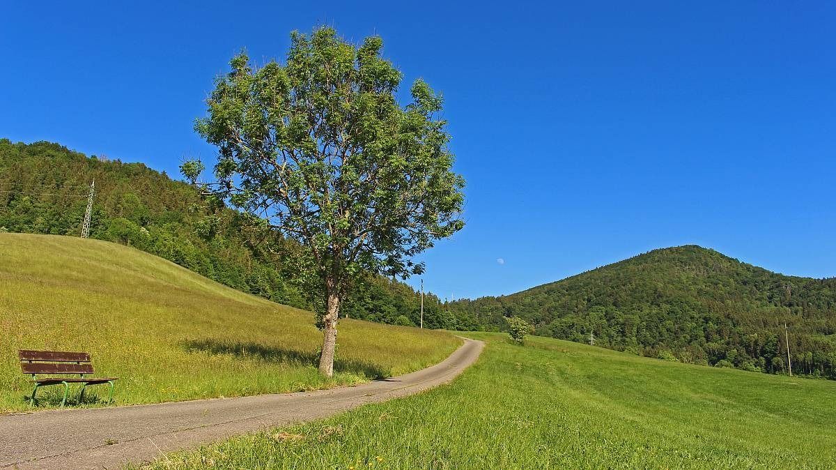
스와비아 해 — 프라이부르크–호펜하펜 블랙포레스트 트레일
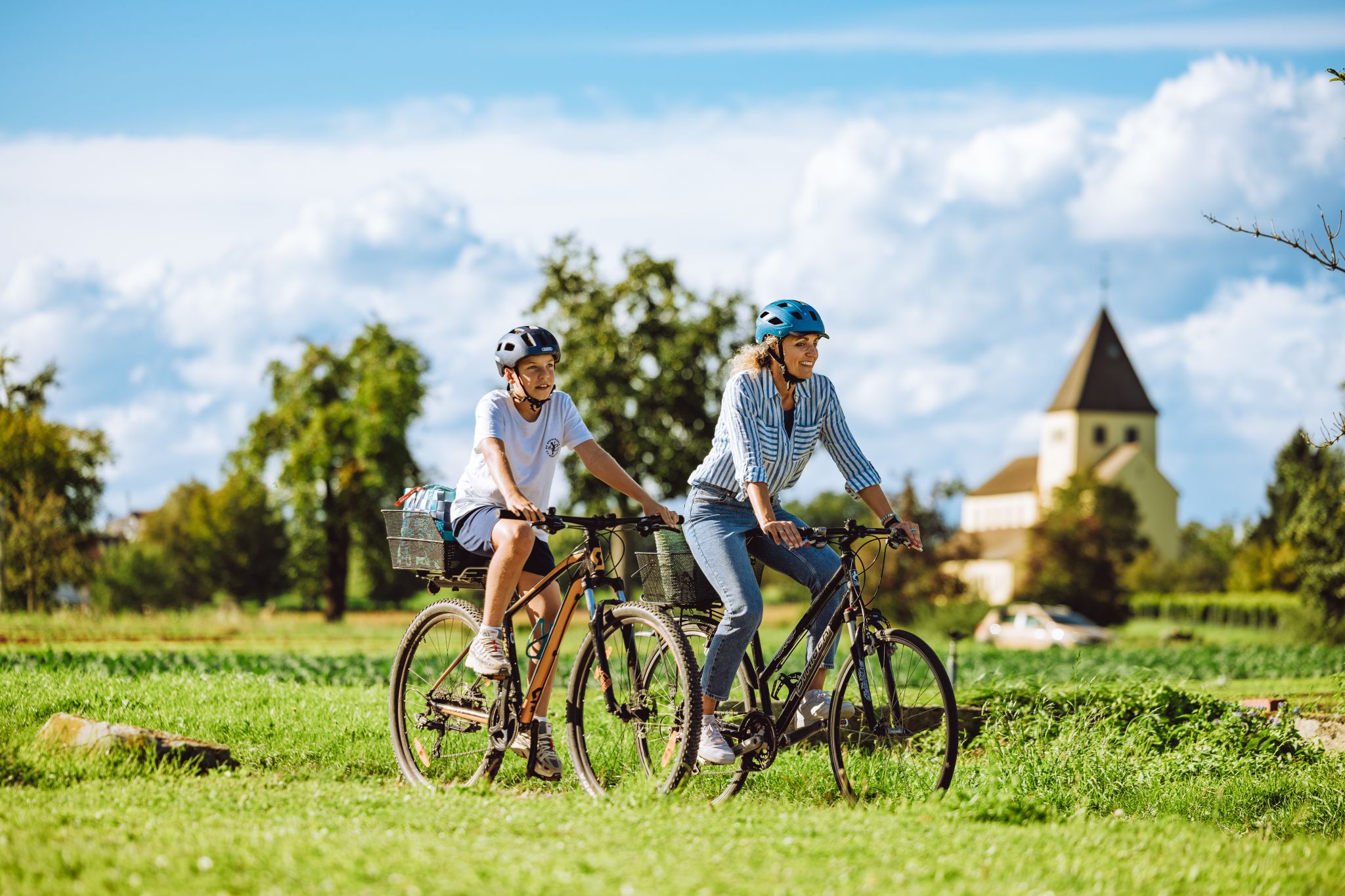
Culture, nature and water – leisure cycling on Western Lake Constance
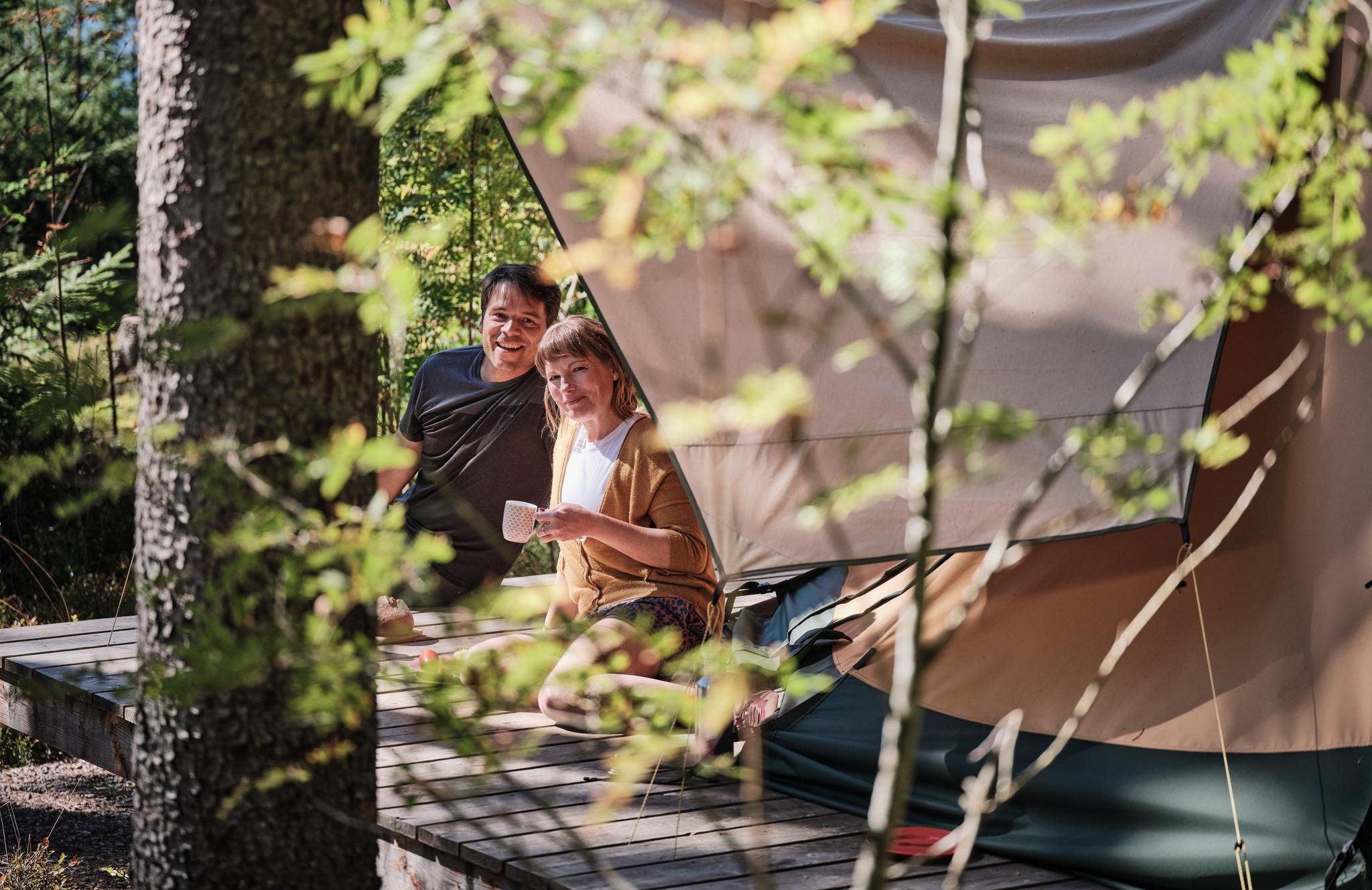
Hiking breaks in the South – two-day routes in Baden-Württemberg
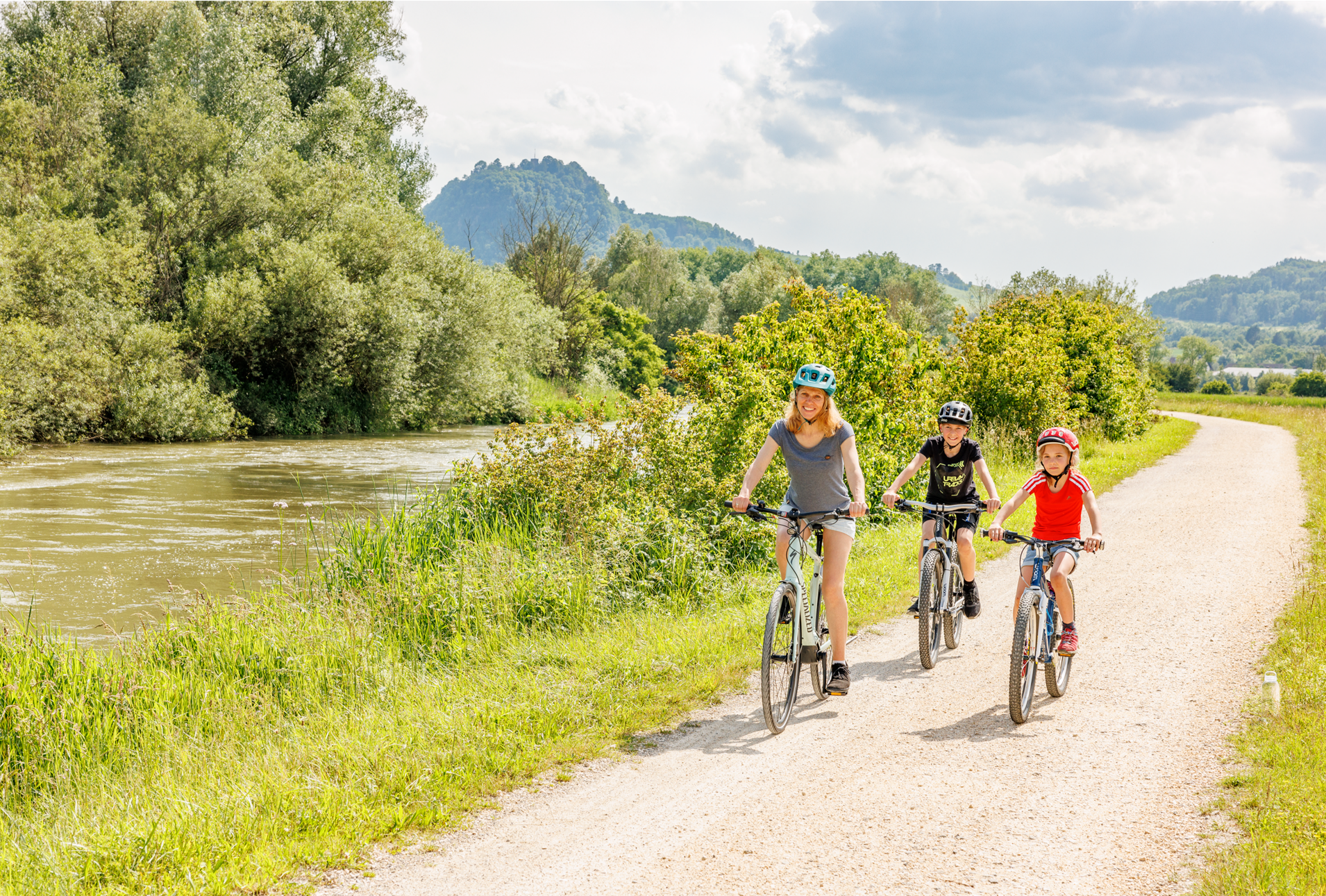
West Lake Constance’s cool spots – between lake and volcanoes
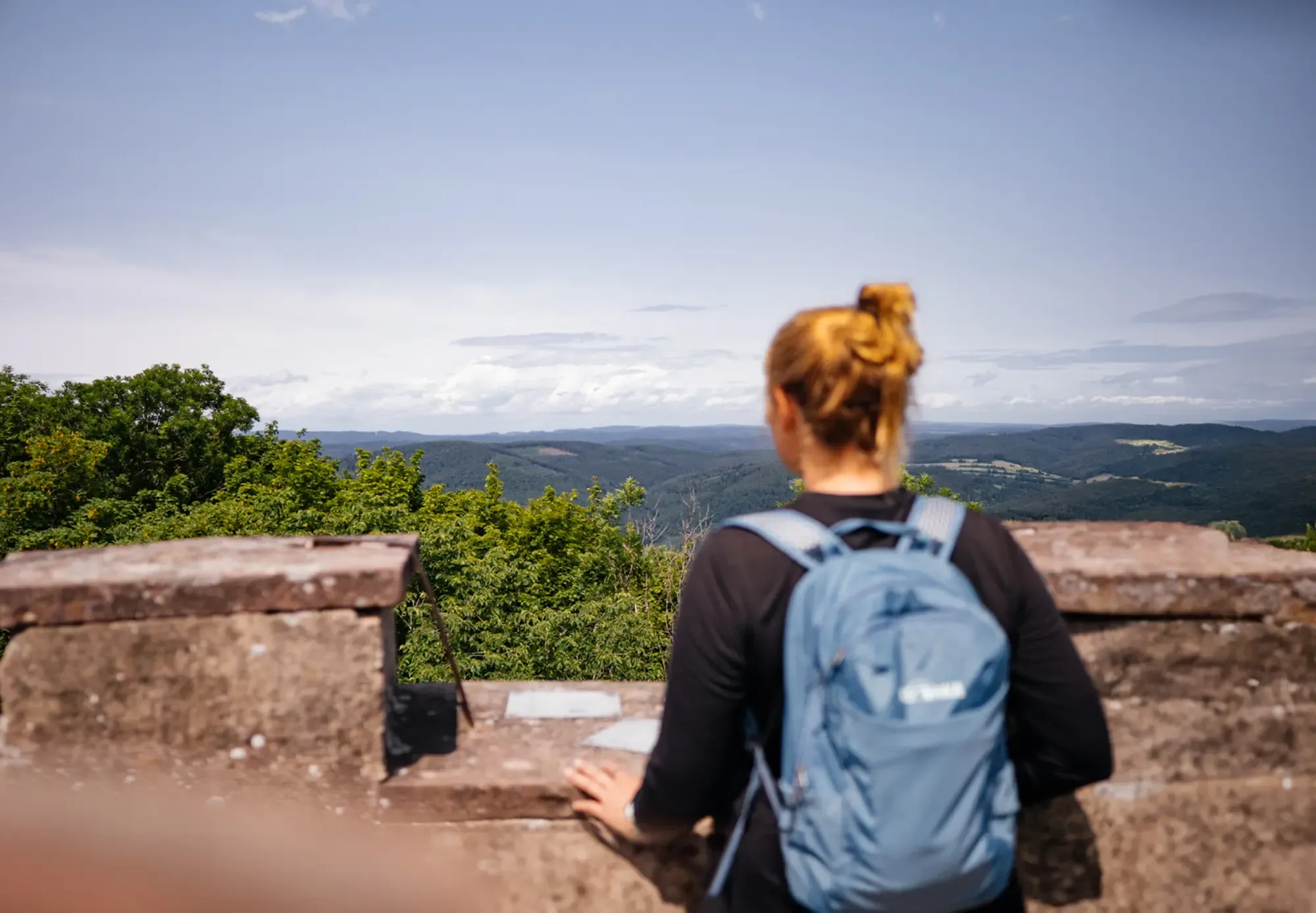
The state from above: 7 Summits of Baden-Württemberg
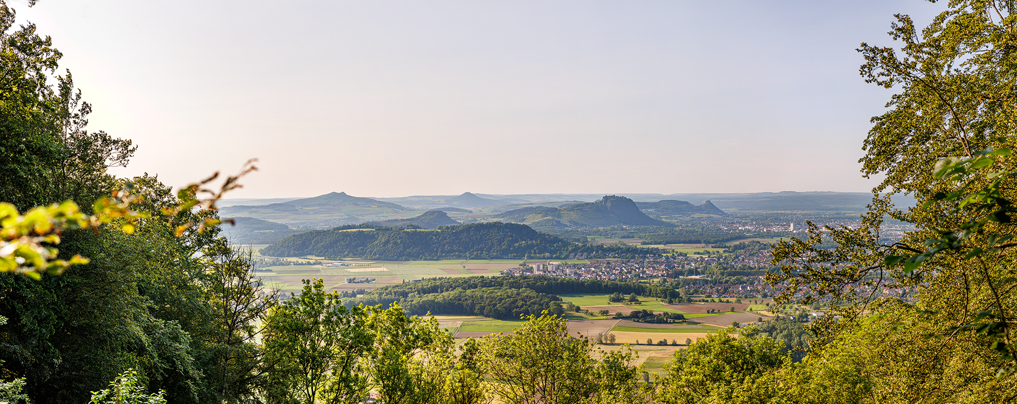
Between Islands and Volcanoes – premium hiking in Western Lake Constance
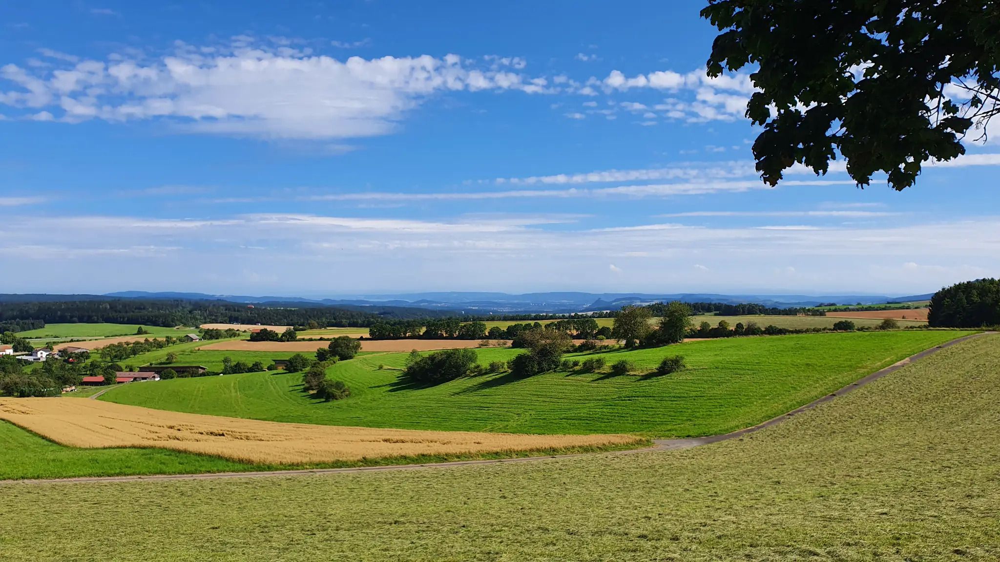
슈바르츠발트-유라-보덴제 베크
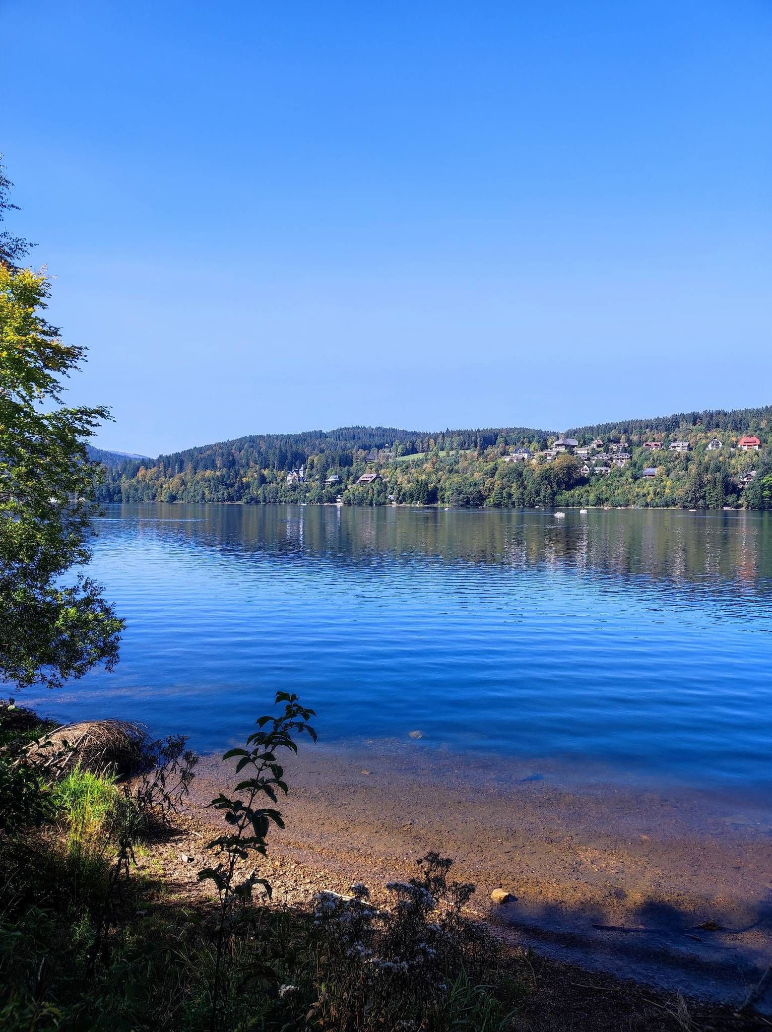
프라이부르크-보덴제 퀘어베크에서

Fit in den Sommer – Radtouren in Konstanz und im Schwarzwald
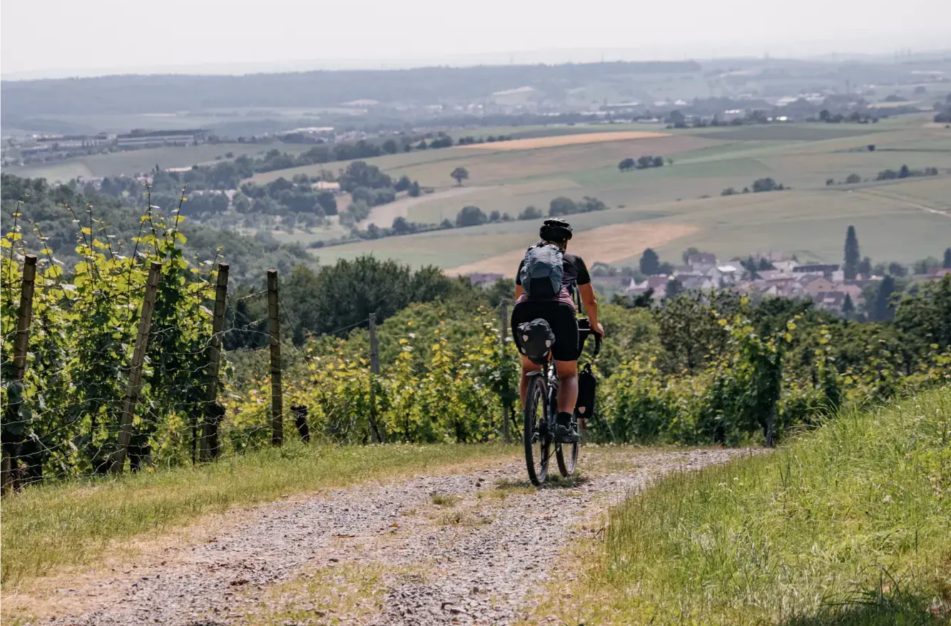
Bikepacking Baden-Württemberg: von Gipfel zu Gipfel
엔겐 주변의 다른 모험


커뮤니티 팁

Engen 근처의 오래된 화산 원뿔은 매우 인상적이며 멀리서도 잘 보입니다.
3
0

Höwenegg 분화구는 슈바벤 알프의 전형적인 돌리네가 아니라 실제 화산 분화구입니다. 따라서 지질학적으로 헤가우 화산 지대에 속합니다. 현무암 채굴은 분화구의 현재 모습에 추가적인 영향을 미쳤습니다. 이곳에서는 멋진 전경을 감상할 수 있습니다.
1
0

Great barbecue hut, the ideal place for a break.
0
0

Strictly speaking, it's more of a path than a trail, except for one very short section. So it's not a problem, although there are currently quite a few fallen trees lying around.
1
0

The Aachquelle is the largest spring in Germany.
11
0

A very good viewpoint overlooking the crater lake, with a small rest area and information panel. Even though there is a large fence around the crater rim for safety reasons, a good view is still possible.
8
0
Beautiful viewpoint from the hiking trail around the crater lake of the deep blue lake and the volcanic caldera.
8
0

Follow the sign "Danube Sinkhole." Either the water is there, or it's gone. Then you've arrived at the natural phenomenon of the Danube Sinkhole. The limestone rock layers from the Jurassic period, which form a large part of the Swabian Alb, are to blame for the disappearance of the Danube. Chemical dissolution processes create cracks and cavities within the limestone, into which the Danube water seeps. In summer, the riverbed dries out completely. However, the Danube hasn't completely disappeared – completely in summer and partially in the winter months. Exactly 183 meters lower and about 12 kilometers away, it then reappears: in the Aachtopf, Germany's largest spring. The water takes about 60 hours to complete its journey. The Danube's journey is far from over. Via the small river Aach, the water flows into Lake Constance and then via the Rhine into the North Sea. And the rest of the Danube? It flows through a total of 10 countries to the Black Sea.
4
0


더 살펴보기
다른 지역의 최고의 MTB 트레일를 살펴보세요.
