게오르그스마리엔휘테에서 가장 멋진 12개의 산 정상
게오르그스마리엔휘테의 산 정상에 오르면 이 지역의 아름다운 모습을 제대로 구경할 수 있어요. 다만, 12
곳이나 되는 산 정상 중에서 어떤 곳을 가야 할 지 고민된다는 게 문제죠. 게오르그스마리엔휘테에서 가장 멋진 산 정상을 살펴본 후에 마음에 드는 산 정상을 다음 모험 계획에 추가해보세요.
마지막 업데이트: 10월 10, 2026

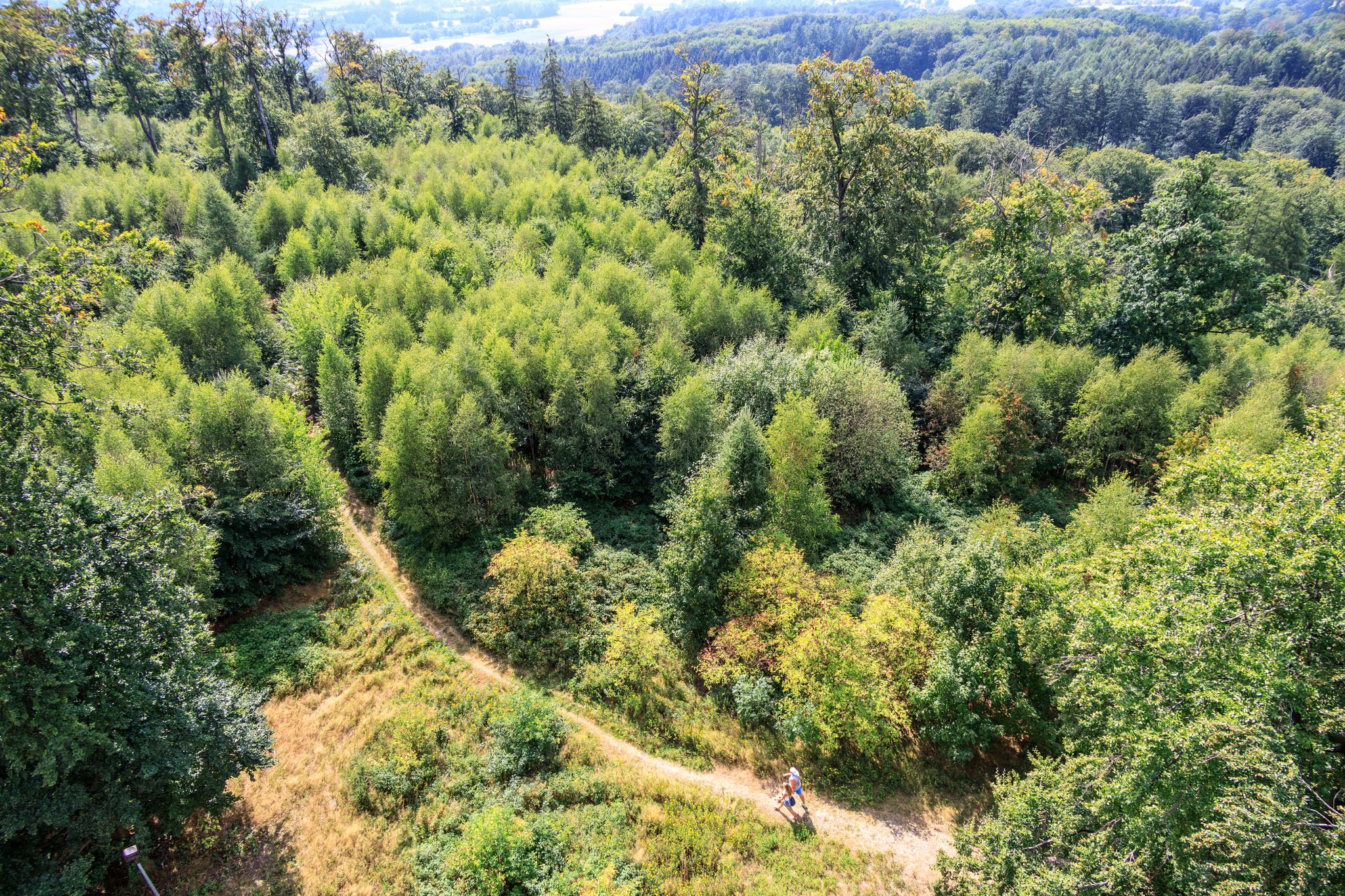
도렌베르크의 헤르만스투름
하이라이트 • 전망대
번역자 Google •
팁에 의해

이런 장소를 발견하려면 지금 가입하세요
최고의 싱글 트랙, 봉우리 및 다양한 흥미로운 야외 장소에 대한 추천을 받아보세요.
헤르만스투름 전망탑
하이라이트 • 전망대
번역자 Google •
팁에 의해
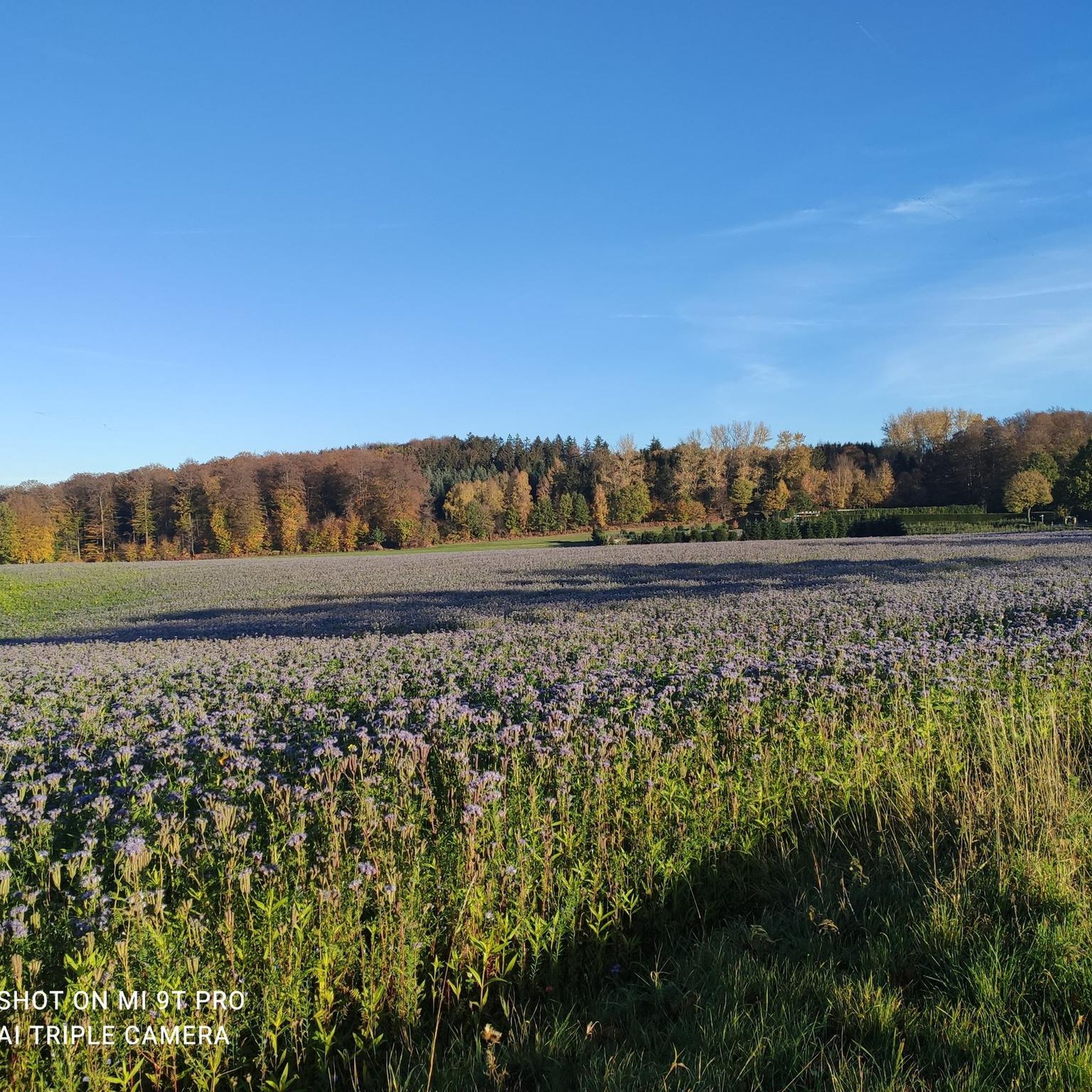
Leedener Berg (Lusthäuschen)에서 본 전망
하이라이트 • 전망대
번역자 Google •
팁에 의해

바트 이부르크에서 도렌베르크까지 오르기
하이라이트 (구간) • 등반
Warning: descend slowly, because …
번역자 Google •
팁에 의해

무료로 가입하여 게오르그스마리엔휘테 주변의 더 많은 봉우리를 발견하세요.
이미 komoot 계정이 있나요?
오늘 무료 계정으로 시작하세요
다음 모험이 기다리고 있어요.


커뮤니티 팁

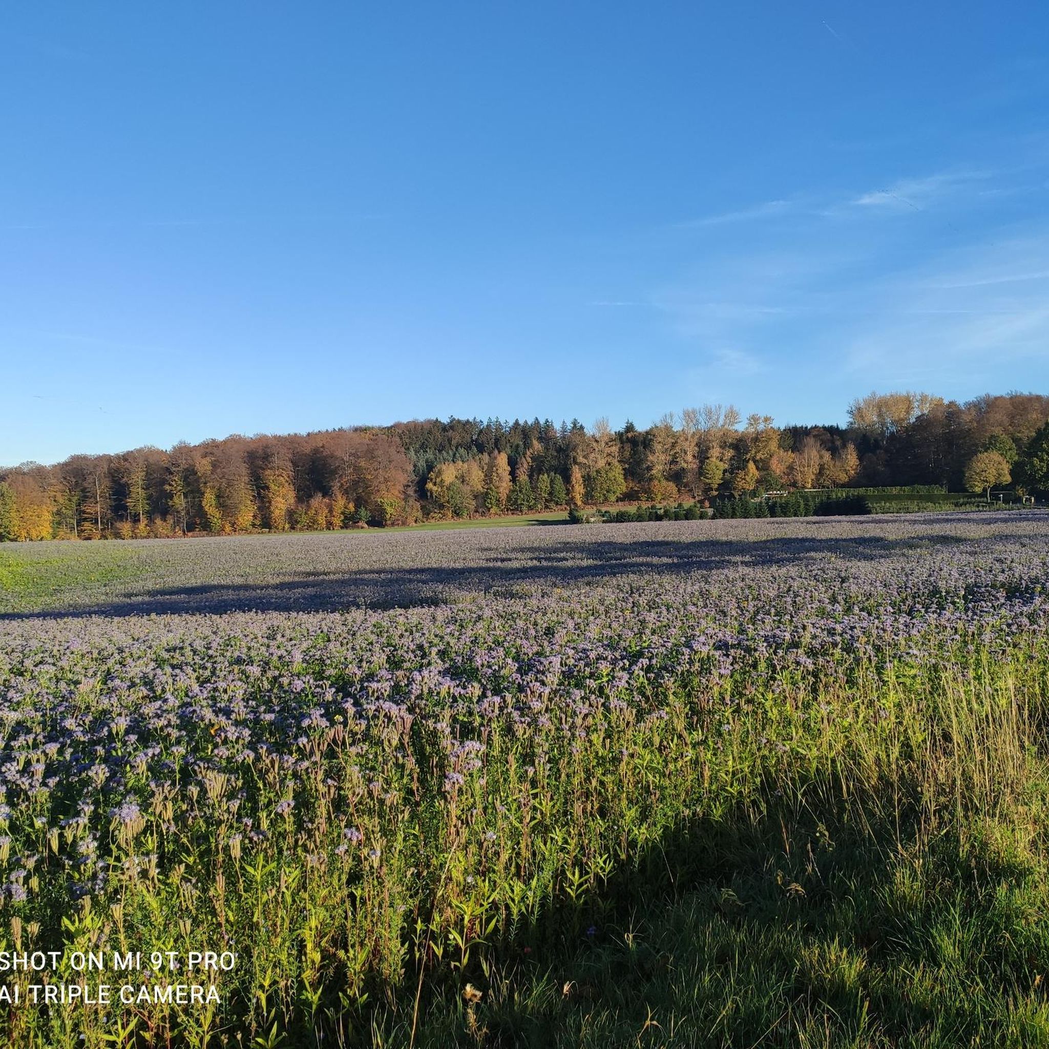
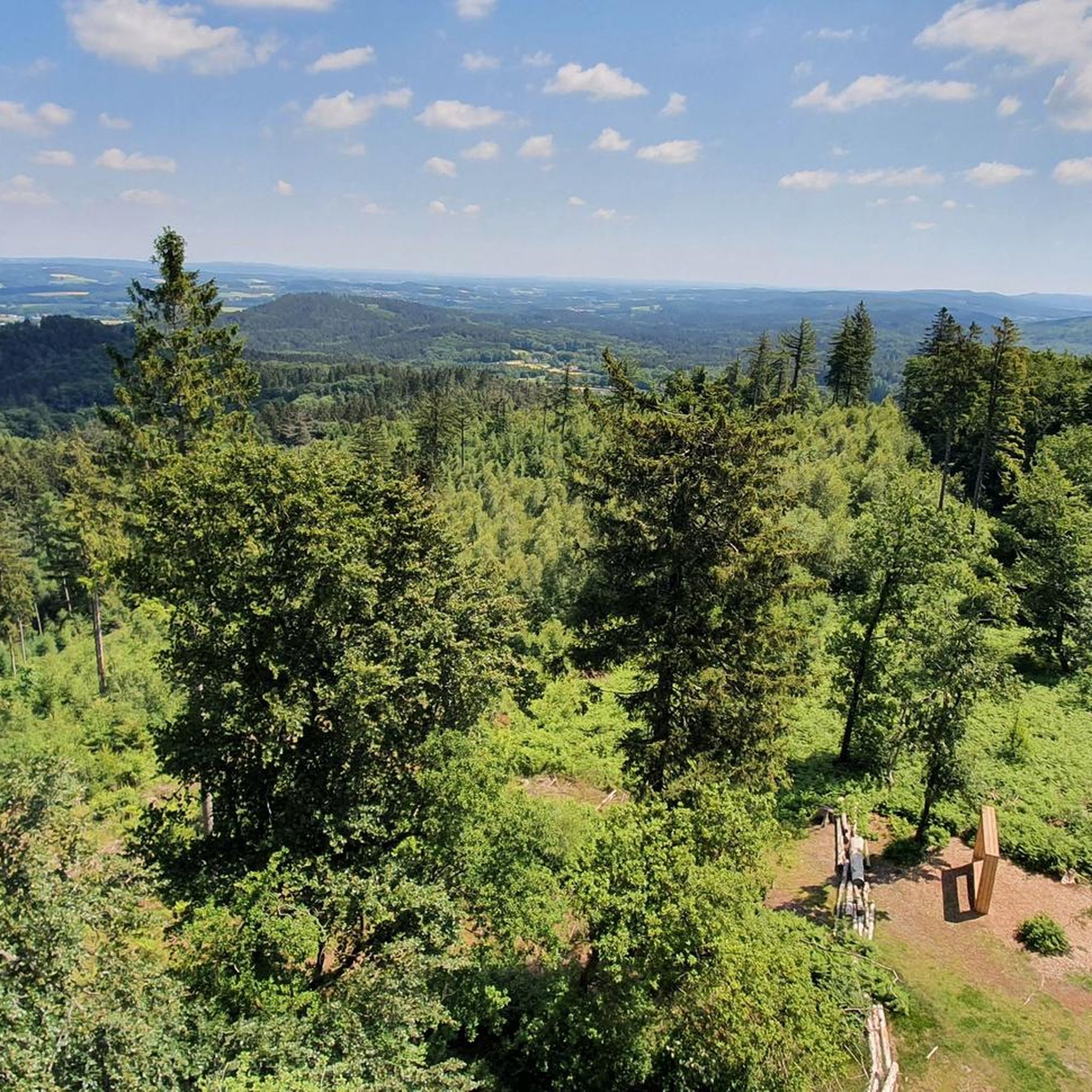
2026년 5월에 저는 프리미엄 순환 하이킹 코스인 „Canyon-Blick“을 걸었습니다. Leedener Berg에서 바라보는 이 파노라마 전망은 이 Teuto 루프의 크고 작은 하이라이트 중 하나입니다!
1
0

Beautiful view for every hiker.
2
0

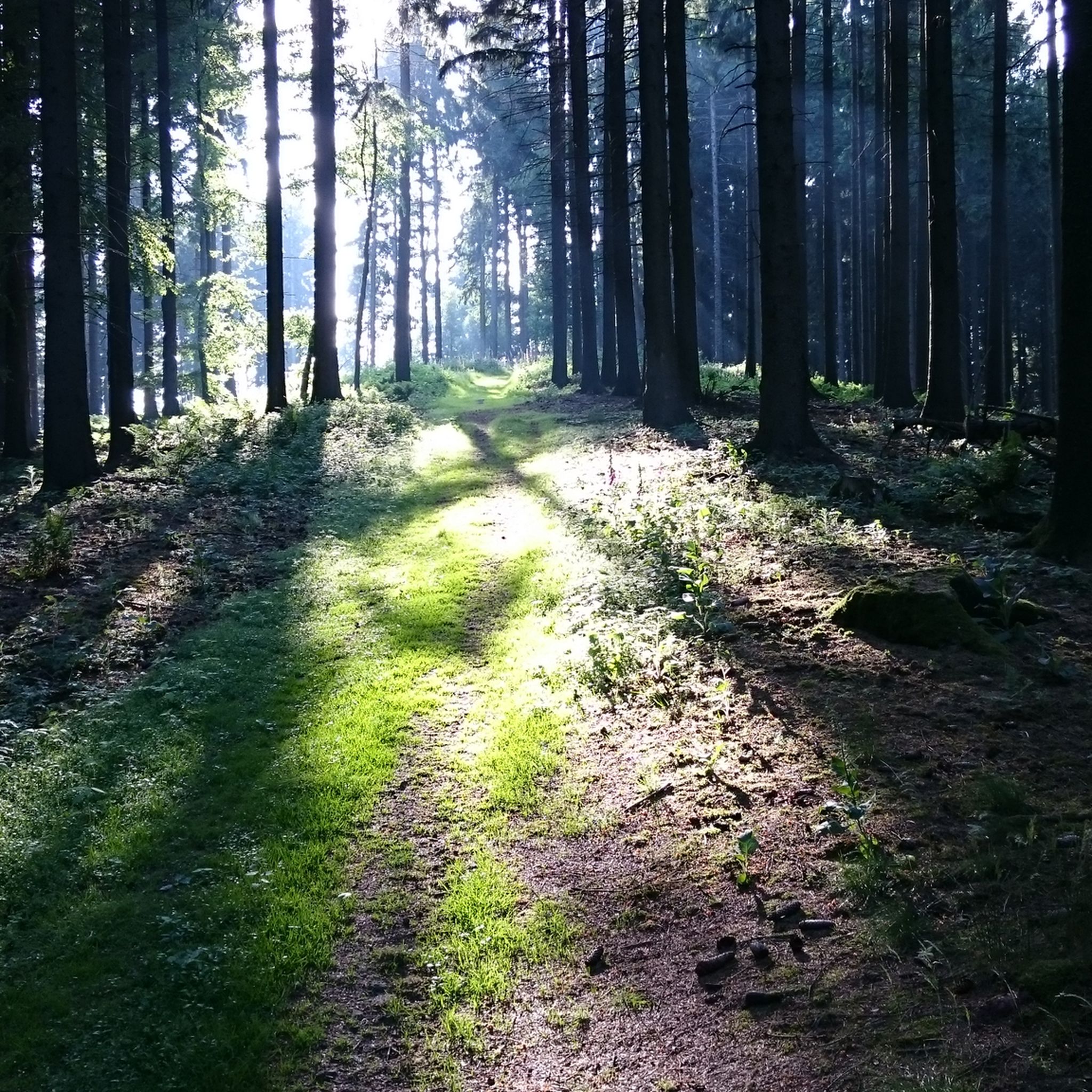
The road is a dead end and the surface is very bad, but it is definitely worth the effort to drive up here. Some beautiful views. Warning: descend slowly, because of the very bad surface, which is often also polluted by forest soil and rotting leaves.
3
0

At 331.2 m, the highest elevation in the central Teutoburg Forest. Great for hiking and one of the best places for people from the mountains.
1
0

A place steeped in history that is well suited for a short break.
4
0

Closed to most cars, so you'll primarily find two-wheelers here. It winds beautifully through the forest with great views. However, the descent shouldn't be approached too aggressively. There's a lot of debris on the road (branches/rocks) and numerous potholes, some of which are difficult to see due to the curves/shadows of the trees. As of end of May 2022
1
0

A very nice ridge path with great views. Unfortunately, the storms have left their mark. On some sections there are still trees on the path
4
0

Pleasant, quiet place to rest at the foundations of a refuge from 1910. Great view and beautiful, natural hiking trails.
6
0
게오르그스마리엔휘테 주변에서 가장 인기 있는 경로
게오르그스마리엔휘테 주변에서 가장 인기 있는 명소


더 살펴보기
이 가이드를 통해 게오르그스마리엔휘테 주변의 더 놀라운 정상들을 확인해보세요:
