랑겔스하임에서 가장 멋진 20개의 폭포
폭포에서 숨 막히는 절경을 감상하고 싶나요? 그렇다면 랑겔스하임에 있는 아름다운 폭포 20
개를 살펴보세요. 아래에서 여러 폭포 사진과 팁을 살펴본 후에 마음에 드는 폭포를 다음 모험 계획에 간편하게 추가해보세요!
마지막 업데이트: 10월 9, 2026


이런 장소를 발견하려면 지금 가입하세요
최고의 싱글 트랙, 봉우리 및 다양한 흥미로운 야외 장소에 대한 추천을 받아보세요.
헤르츠베르거 타이히 폭포
하이라이트 • 폭포
It is essential to look at it from below, but only with sturdy shoes.
번역자 Google •
팁에 의해

비엔부르크 근처 오커 강의 폭포
하이라이트 • 폭포
번역자 Google •
팁에 의해

클라우스탈-첼러펠트 근처의 이너스테 폭포
하이라이트 • 폭포
번역자 Google •
팁에 의해

무료로 가입하여 랑겔스하임 주변의 더 많은 폭포를 발견하세요.
이미 komoot 계정이 있나요?




커뮤니티 팁

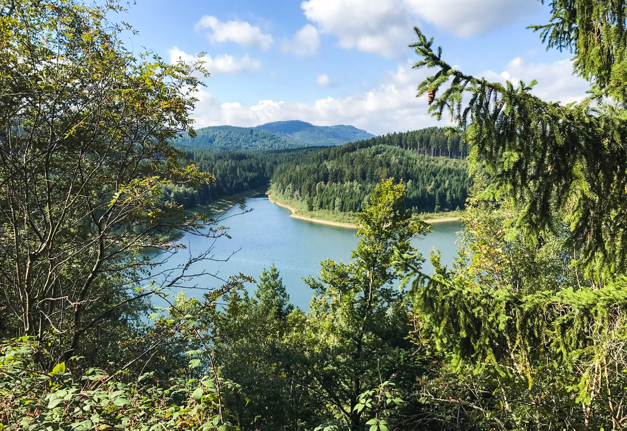
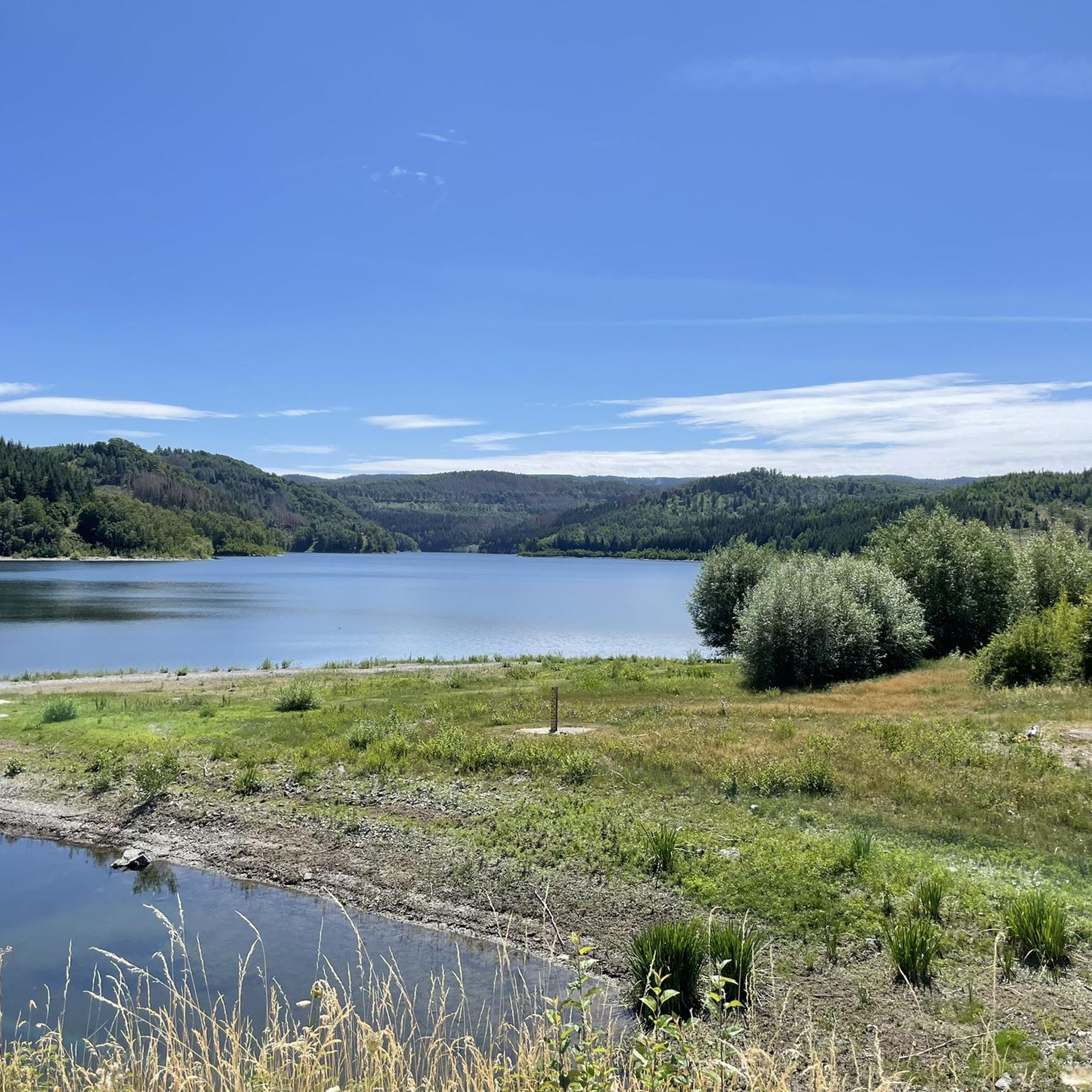
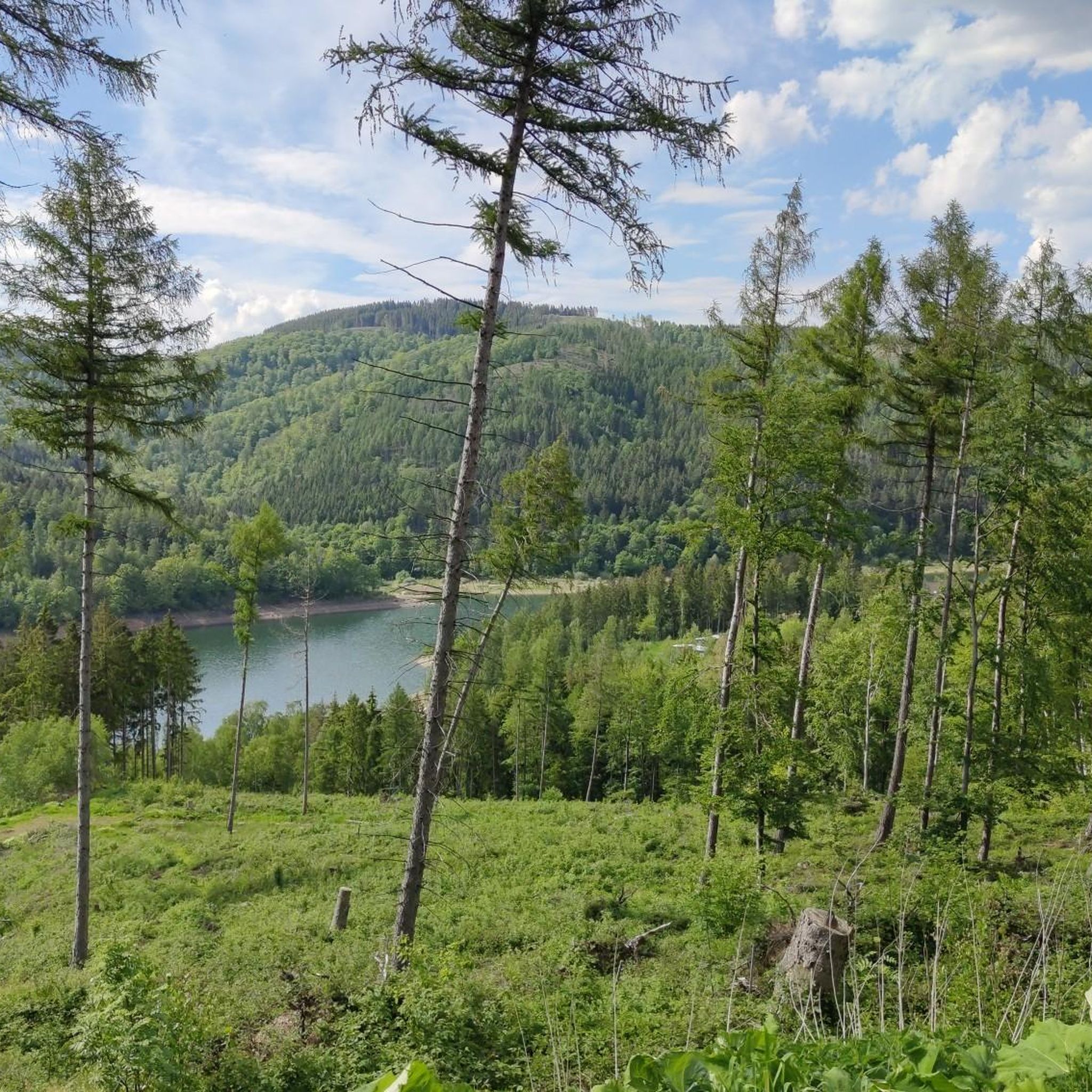
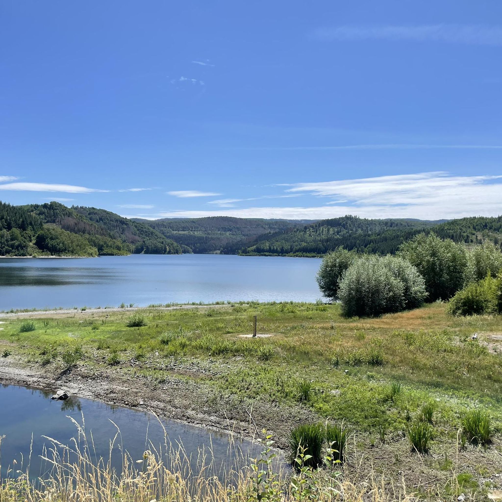
In the Harz Mountains, there are numerous places with almost untouched nature, where wild and rushing streams with clean water make their way down between rugged rocks. The river in the Harz that is furthest from this idyll is probably the Innerste. Almost nothing of the sketched image of this body of water is true of this body of water. The source of the Innerste, the "Innerste Spring," is located southeast of Clausthal-Zellerfeld near Federal Highway 242 at an altitude of approximately 610 meters above sea level. When the Innerste reaches the town of Buntenbock after a three-kilometer course, its waters have already been blocked from flowing freely by the Entensumpf (entrap marsh) in the Oberer Nassenwieser Teich (upper wetland pond), the Bärenbrucher Teich (barn brook), the Ziegenberger Teich (ziedenberg pond), and the Großer Sumpfteich (large swamp pond). Numerous tributaries have also transformed what was initially a small mountain stream into a substantial river. Beyond Buntenbock lies the Prinzenteich, the largest dam on the river's relatively short route from its source to here. When the water of the Innerste leaves this historic dam, it is anything but wild due to the many regulations, but at least it is still clean. But that, too, is changing. In the section of the Innerste Valley below the Prinzenteich, during the mining era, one stamp mill followed the next, flanked by countless smelters for further processing the crushed ore. All of these subsequent mining operations harnessed the hydropower of the tamed Innerste River and its tributaries. The waste produced during silver mining in the form of slag, crushed sand, and sludge was stored close to the river and unprotected, in the immediate vicinity of the workshops. These heavy metal-rich dumps remain largely there to this day. After passing through the two old mining towns of Wildemann and Lautenthal, the Innerste River is once again held back and dammed by the large Innerste Dam, built in the 1960s. At 750 meters long, the dam wall of the Innerste Dam is the longest of all the dams in the Harz Mountains. About three kilometers below this dam wall, the Innerste River flows through Langelsheim, leaving the Harz Mountains to the north. Source: https://www.harzlife.de/info/innerste.html
1
0

The Innerste rises at 605 m above sea level near Clausthal-Zellerfeld, above the Entensumpf pond. On its way it flows through several ponds of the Upper Harz water system, through the Innerste Dam near Langelsheim, meanders through Hildesheim and finally flows into the Leine near Sarstedt after about 97 km.
2
0

Here you drive along the path of the 10 small waterfalls. Beautiful ♥️
5
0

Beautiful waterfall, like so many on this route, which is great for cycling. The next waterfall is always announced by the audible noise before you can even see it.
3
0

Many of these barrages can be seen in the area of the gravel ponds.
3
0

Hidden between Herzberger Teich and the mine...
2
0

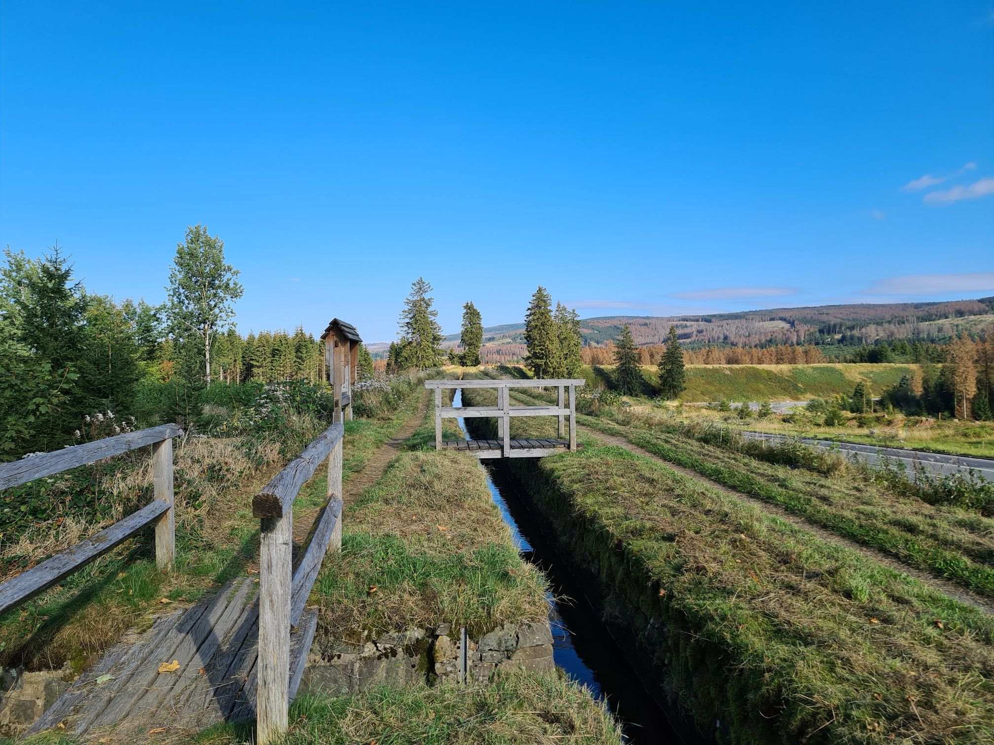
The Spiegeltaler Wasserfall is a waterfall about five meters high in the Spiegeltal north of Clausthal-Zellerfeld. It is located directly on the “Zellerfelder Kunstgraben” water hiking trail, just a few dozen meters below the Oberes Spiegeltaler Teich. Although the waterfall in the mirror valley was created by humans, it was not consciously designed as such. It was not originally intended to fascinate tourists, but was created as a by-product of mining and forestry activities in the Upper Harz Mountains.
12
3

Here you are in the smallest kingdom in the world.
6
0
랑겔스하임 주변에서 가장 인기 있는 명소


더 살펴보기
조금 더 멀리 여행할 준비가 되셨나요? 그러면 랑겔스하임 주변의 최고의 폭포를 위한 이 가이드를 살펴보세요:
