프라우엔슈타인 최고의 워킹 & 하이킹 경로
4.6
(11282)
37,161
등산객
149
하이킹
Komoot에 등록된 프라우엔슈타인 내 트레일 및 경로 컬렉션 중에서 하이킹과 워킹을 가장 멋지게 즐길 수 있는 곳을 알려드릴게요. 아래에서 각 경로의 상세 정보를 모두 확인한 후, 프라우엔슈타인 속 자연에서 즐거운 시간을 누려보세요.
마지막 업데이트: 9월 29, 2026
4.6
(240)
735
등산객
15.3km
04:35
380m
380m
보통 하이킹. 좋은 체력 필요. 대부분 갈 수 있는 길. 미끄러지지 않게 조심해야 함.
4.6
(54)
136
등산객
17.6km
04:53
310m
310m
보통 하이킹. 좋은 체력 필요. 대부분 갈 수 있는 길. 미끄러지지 않게 조심해야 함.

4.8
(39)
119
등산객
8.39km
02:15
100m
100m
보통 하이킹. 좋은 체력 필요. 실력과 관계없이 누구나 쉽게 갈 수 있는 길.
4.9
(17)
53
등산객
6.32km
01:47
140m
140m
초급용 하이킹. 모든 체력 수준에 적합. 실력과 관계없이 누구나 쉽게 갈 수 있는 길.
4.4
(14)
38
등산객
7.71km
02:13
190m
190m
보통 하이킹. 좋은 체력 필요. 실력과 관계없이 누구나 쉽게 갈 수 있는 길.
더 다양한 경로와 다른 탐험가들의 추천을 살펴보세요.
이미 komoot 계정이 있나요?
투어 추천은 다른 사람들이 komoot에서 완료한 수천 개의 활동을 바탕으로 구성되어 있습니다.
오늘 무료 계정으로 시작하세요
다음 모험이 기다리고 있어요.
프라우엔슈타인 주변 인기 장소

Flying high on two wheels – bike holidays in the Ore Mountains
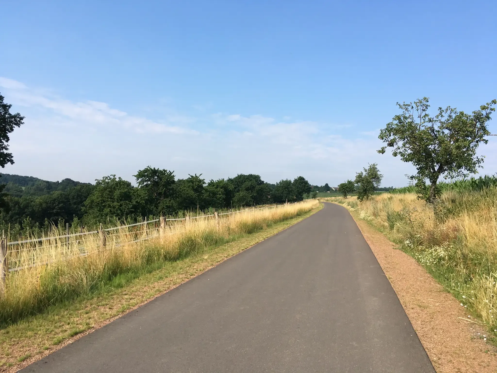
전력 풀로 – 드레스덴 주변 철도 자전거 로
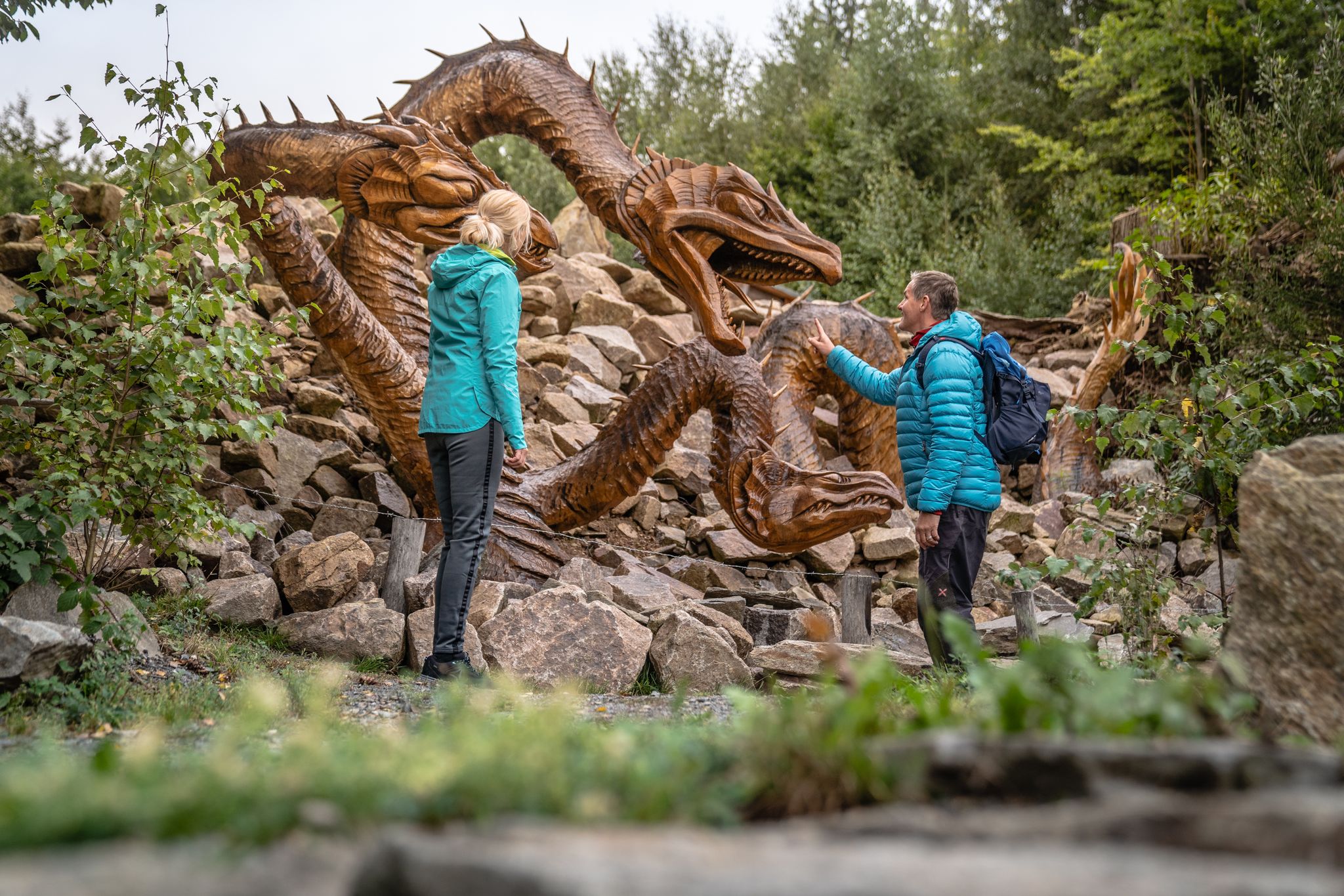
Wandertouren - Handwerk & Heimatgenuss
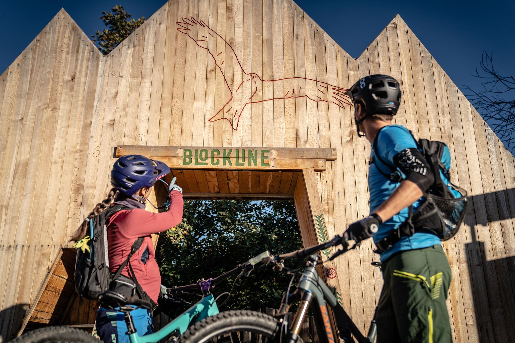
BLOCKLINE – Dein Bike-Abenteuer im Erzgebirge
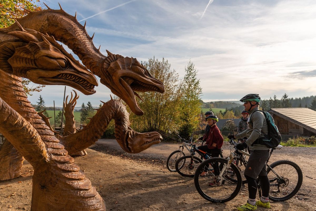
BLOCKLINE-Gesamtstrecke in 5 Tagen – Bike-Urlaub im Erzgebirge
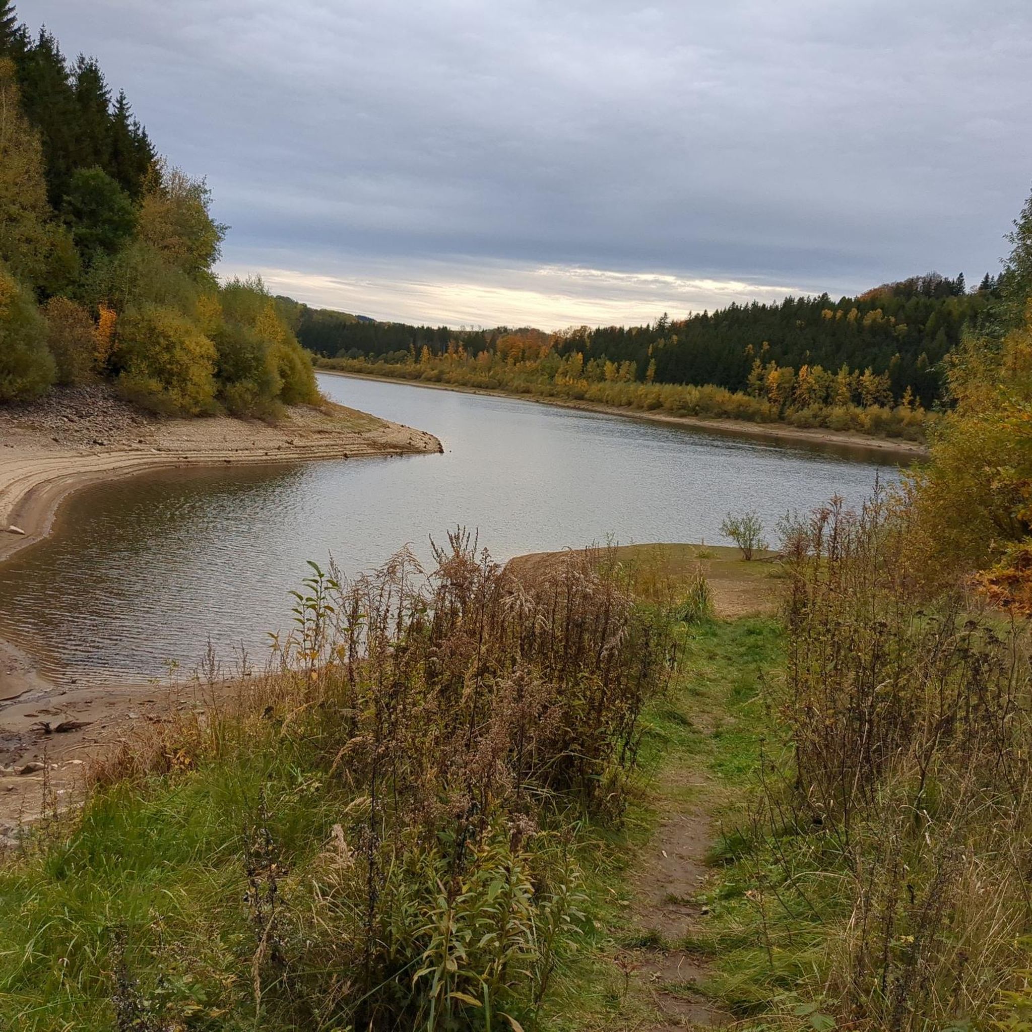
프라우엔슈타인 로드 사이클링 경로
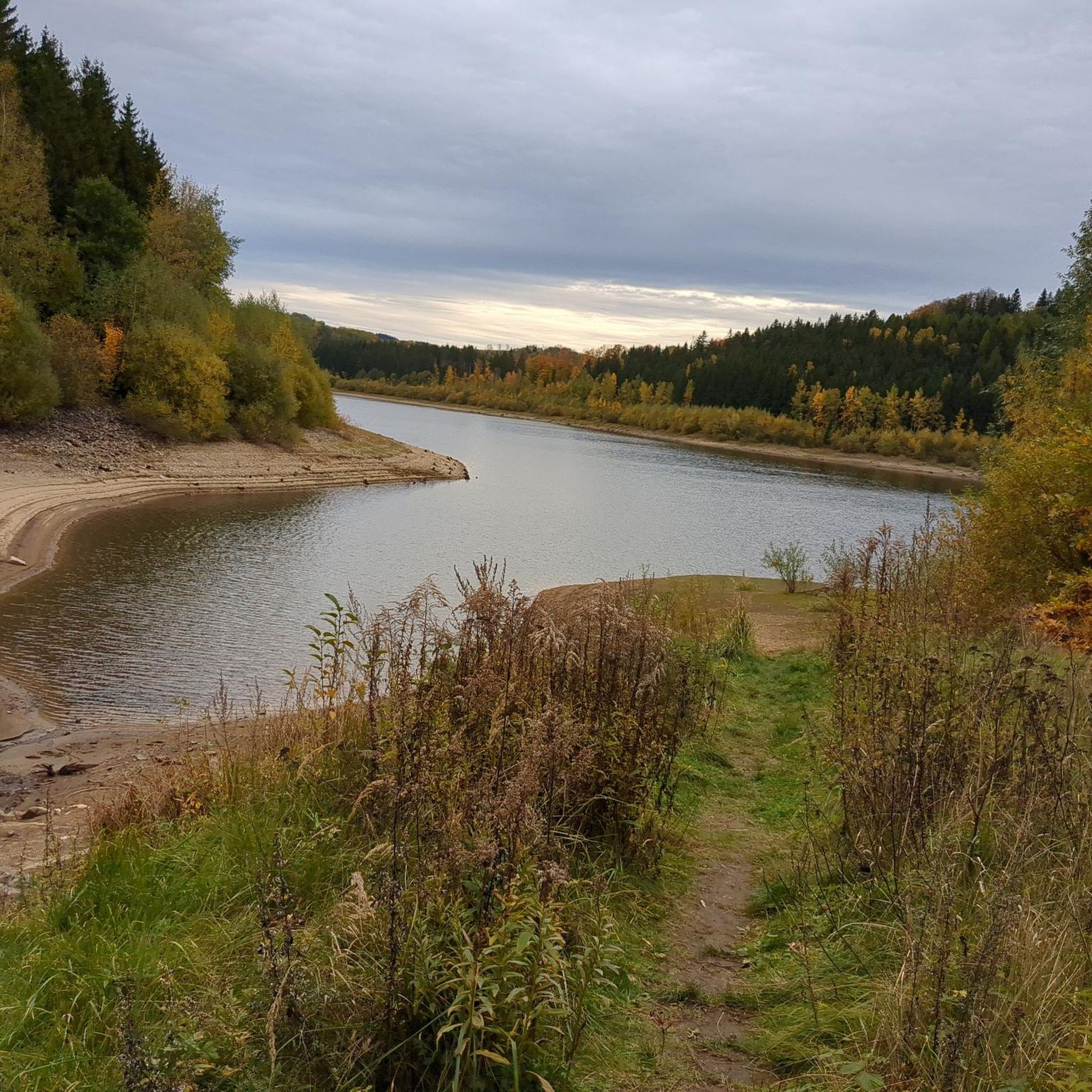
프라우엔슈타인 사이클링
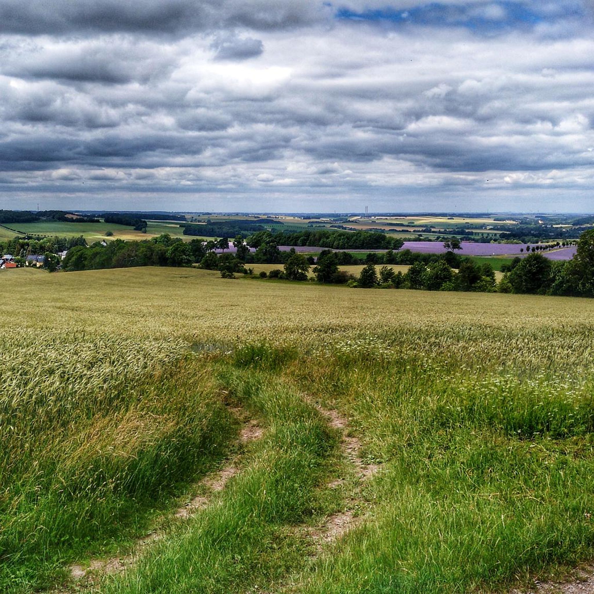
프라우엔슈타인 러닝 트레일
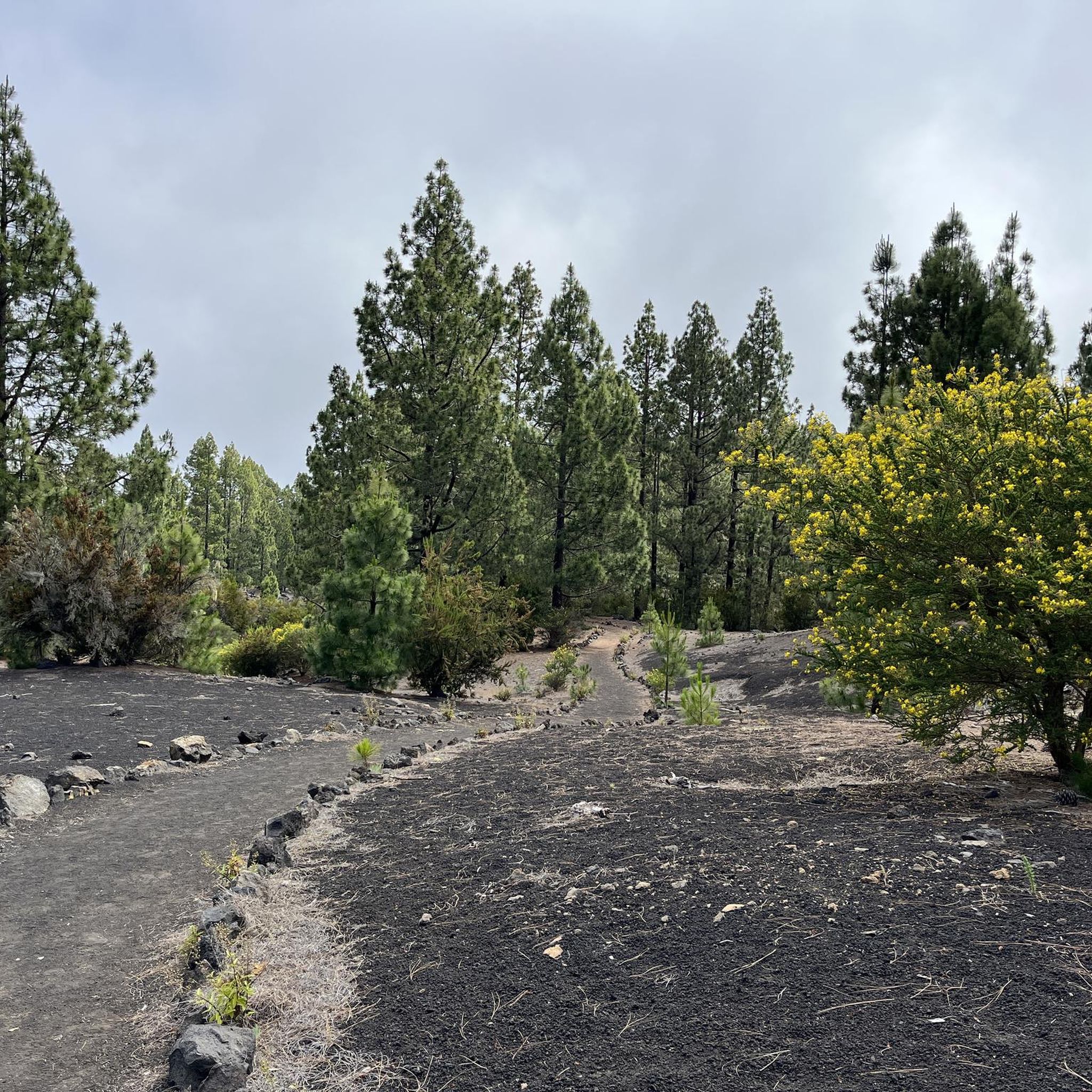
프라우엔슈타인 주변 그래블 라이딩
프라우엔슈타인 MTB 트레일
프라우엔슈타인 주변의 다른 모험


커뮤니티 팁


You learn a lot of interesting facts about silver mining.
0
1

Blockline: signposted bike route in parts of the Ore Mountains, mostly with rest areas
3
0

The Frauenstein Art Experience Trail is a 3.15 km circular trail in Frauenstein, Saxony, featuring artworks from the European Art Symposium and the nature trail. It is located partly near the castle ruins and in the mountain park. The trail is accessible with regular street shoes and is largely identical to the nature trail.
2
0
The Royal Saxon Triangulation was a national survey conducted between 1862 and 1890 that mapped the Kingdom of Saxony with a precise triangular network to create the basis for accurate maps. The network consisted of 158 points, including 36 main stations for the Central European Triangulation System, at which survey pillars were erected. These pillars are now technical monuments and bear witness to one of the most precise land surveys in Europe during the 19th century.
2
2
The ruins of Frauenstein Castle are located on a 680-meter-high granite porphyry rock on the ridge of the Eastern Ore Mountains near the town of Frauenstein in the district of Central Saxony. See: https://de.wikipedia.org/wiki/Burg_Frauenstein_(Erzgebirge)
3
1
Frauenstein Castle is a Renaissance castle in the Ore Mountains, located right next to a medieval castle ruin that is considered a landmark of the town and was built around 1200. The castle was built in 1585 to meet growing housing needs and today houses the Gottfried Silbermann Museum, dedicated to the famous organ builder. Unfortunately, it was hazy today, so we didn't have a view.
2
1
Behind the ruins of Frauenstein Castle, a rock with a pavilion protrudes, called the Zeisigstein. The name is said to derive from a captain of the Meissen burgraves, Zeisig. The following story is told about it: During the feud between Elector Frederick the Gentle and the Meissen burgrave Heinrich Reuss-Plauen, in which the former had his castle, Frauenstein, stormed and destroyed in 1438, a castle captain named Zeisig, who was defending it, was supposedly beheaded as a rebel on the aforementioned rock. Even today, the door through which this burgrave's vassal was supposedly led to his execution can be seen in the castle ruins' ring wall. See: https://www.erzgebirge-museum.de/content/view/1572/3305/
3
1
프라우엔슈타인 주변에서 가장 인기 있는 명소


더 살펴보기
다른 지역의 최고의 하이킹를 살펴보세요.
