오버비젠에서 가장 멋진 4개의 산 정상
오버비젠의 산 정상에 오르면 이 지역의 아름다운 모습을 제대로 구경할 수 있어요. 다만, 4
곳이나 되는 산 정상 중에서 어떤 곳을 가야 할 지 고민된다는 게 문제죠. 오버비젠에서 가장 멋진 산 정상을 살펴본 후에 마음에 드는 산 정상을 다음 모험 계획에 추가해보세요.
마지막 업데이트: 8월 25, 2026
쾨니히스툴 (도너스베르크 정상)
하이라이트 • 정상
번역문 보기
팁에 의해

카펠베르크 정상 (라인헤센의 최고봉)
하이라이트 • 정상
번역자 Google •
팁에 의해

이런 장소를 발견하려면 지금 가입하세요
최고의 싱글 트랙, 봉우리 및 다양한 흥미로운 야외 장소에 대한 추천을 받아보세요.
무료 회원 가입
카펠베르크로 가는 길에 있는 쉼터
하이라이트 • 산장
번역자 Google •
팁에 의해

오늘 무료 계정으로 시작하세요
다음 모험이 기다리고 있어요.
로그인 또는 가입하기

커뮤니티 팁

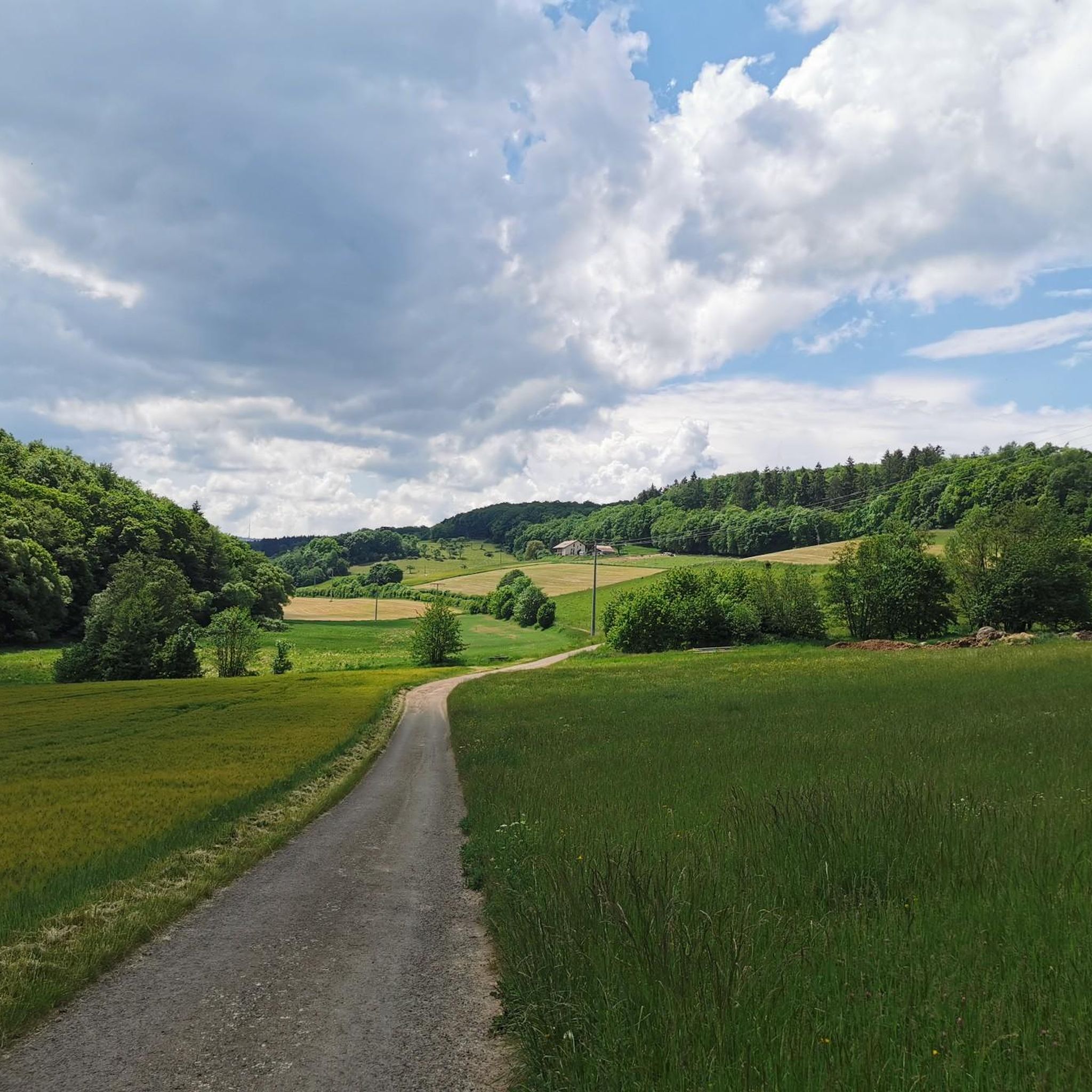
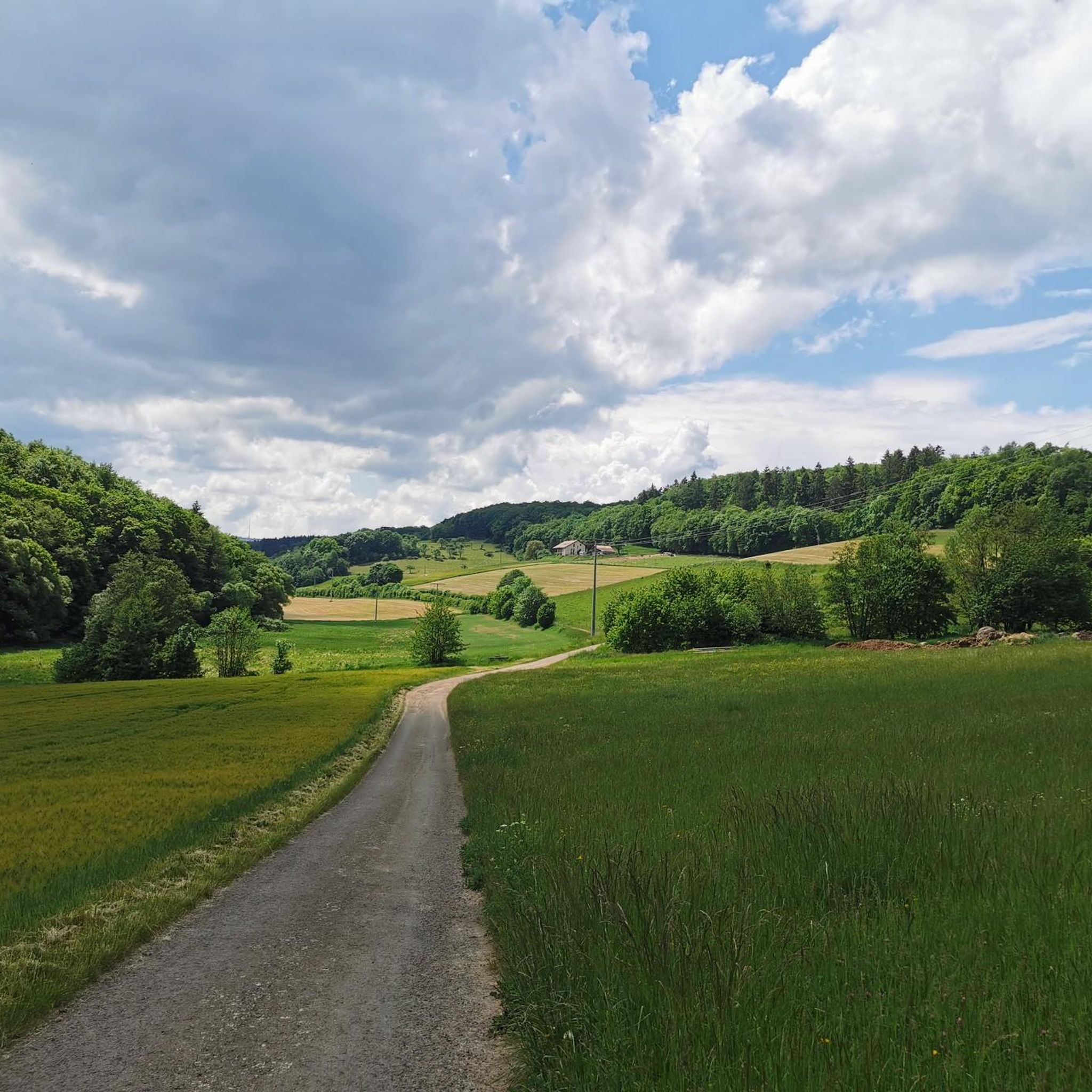
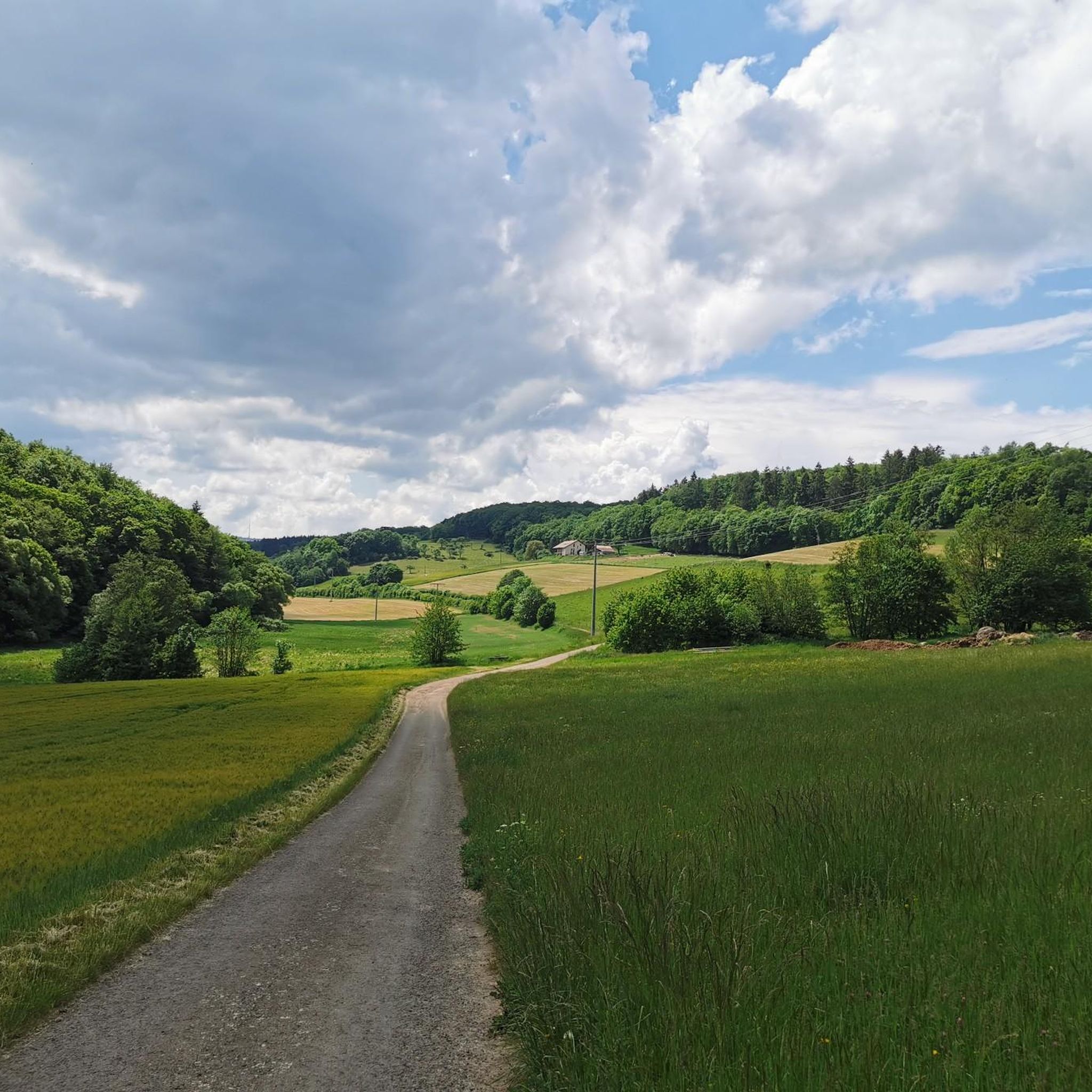
해발 358m 휴식용 벤치 몇 개 있음
1
0

Stay on the main paths, even if it's a few kilometers longer. The single trails and sub-paths are largely overgrown and impassable.
1
1

The Kappelberg is 358 m above sea level. NHN the highest mountain in Rheinhessen. It is located in the Saar-Nahe mountains between Offenheim and Oberwiesen in the Rhineland-Palatinate district of Alzey-Worms, close to the Donnersberg district. Wikipedia
2
1

We can really score with our highest elevations in Rheinhessen :-), but for me as a lowland Tyrolean it's almost a mountain. There is a summit cross and a nice place to rest.
2
0

This little hut is on the trail to the Kappelberg.
1
0
The Kappelberg is 358 m above sea level. NHN [1] [2] the highest mountain in Rheinhessen. It is located in the Saar-Nahe-Bergland between Offenheim and Oberwiesen in the Rhineland-Palatinate district of Alzey-Worms in the vicinity of the Donnersbergkreis. The Kappelberg rises within the North Palatinate Uplands - near the border with the Palatinate - in the municipality of Offenheim. The summit of the mountain in the Vorholzwald is 4 km southwest of Offenheim, 3.2 km northwest of Morschheim, 1.8 km north-northwest of Orbis, 1.9 km northeast of Oberwiesen, 2.3 km south of Nieder-Wiesen and 2, 6 km southwest of Bechenheim. Past the Kappelberg to the west, the Wiesbach flows through Oberwiesen and further north-northeast through Nieder-Wiesen. The Selz rises a little south-southeast of the mountain near Orbis. The Kappelberg is located on the edge of the protected landscape area Rheinhessische Schweiz, [2] but is not generally counted as part of the eponymous landscape. The state road 406 runs south past the Kappelberg between Offenheim and Oberwiesen, from which the L 407 branches off east of the mountain, leading north to Bechenheim.
0
0
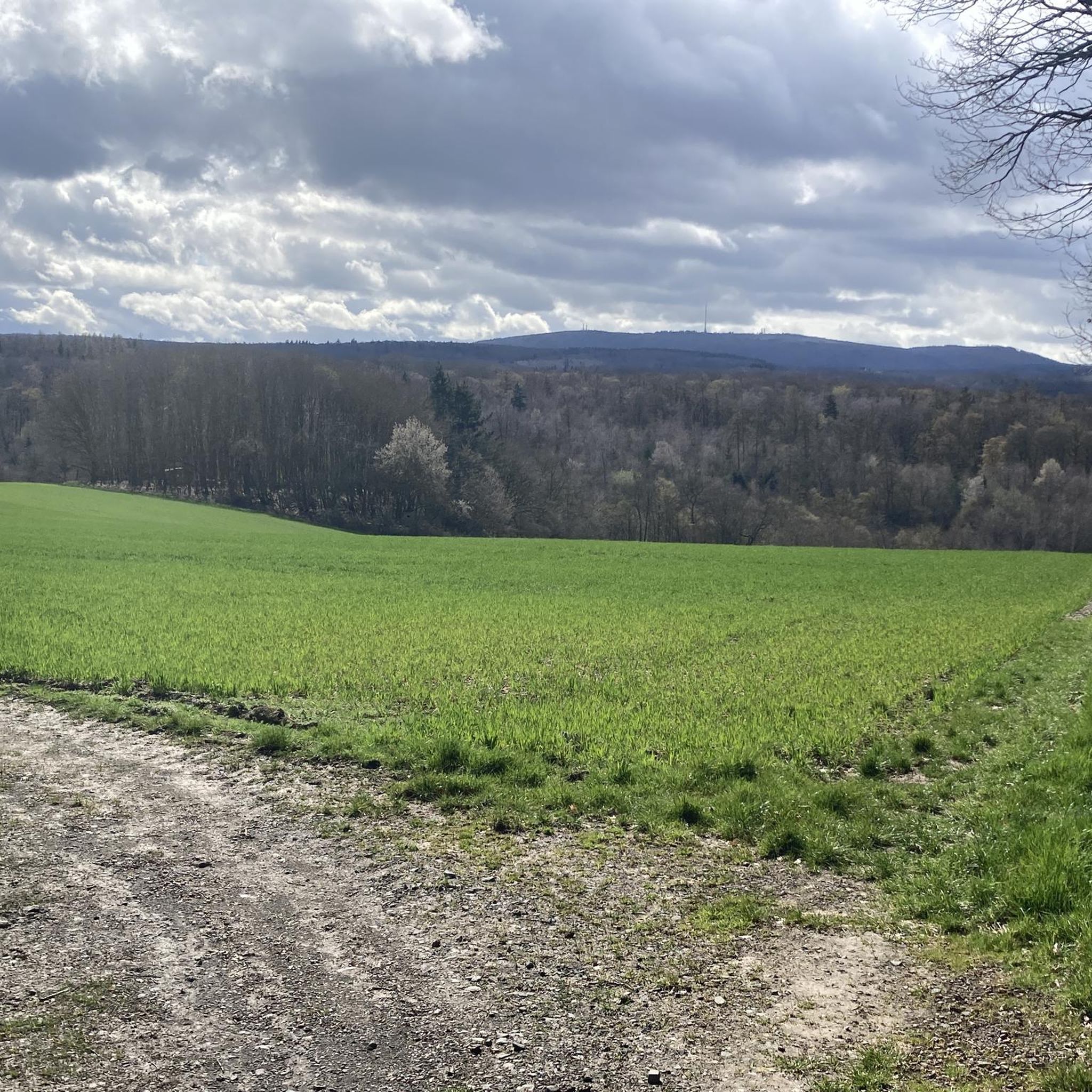
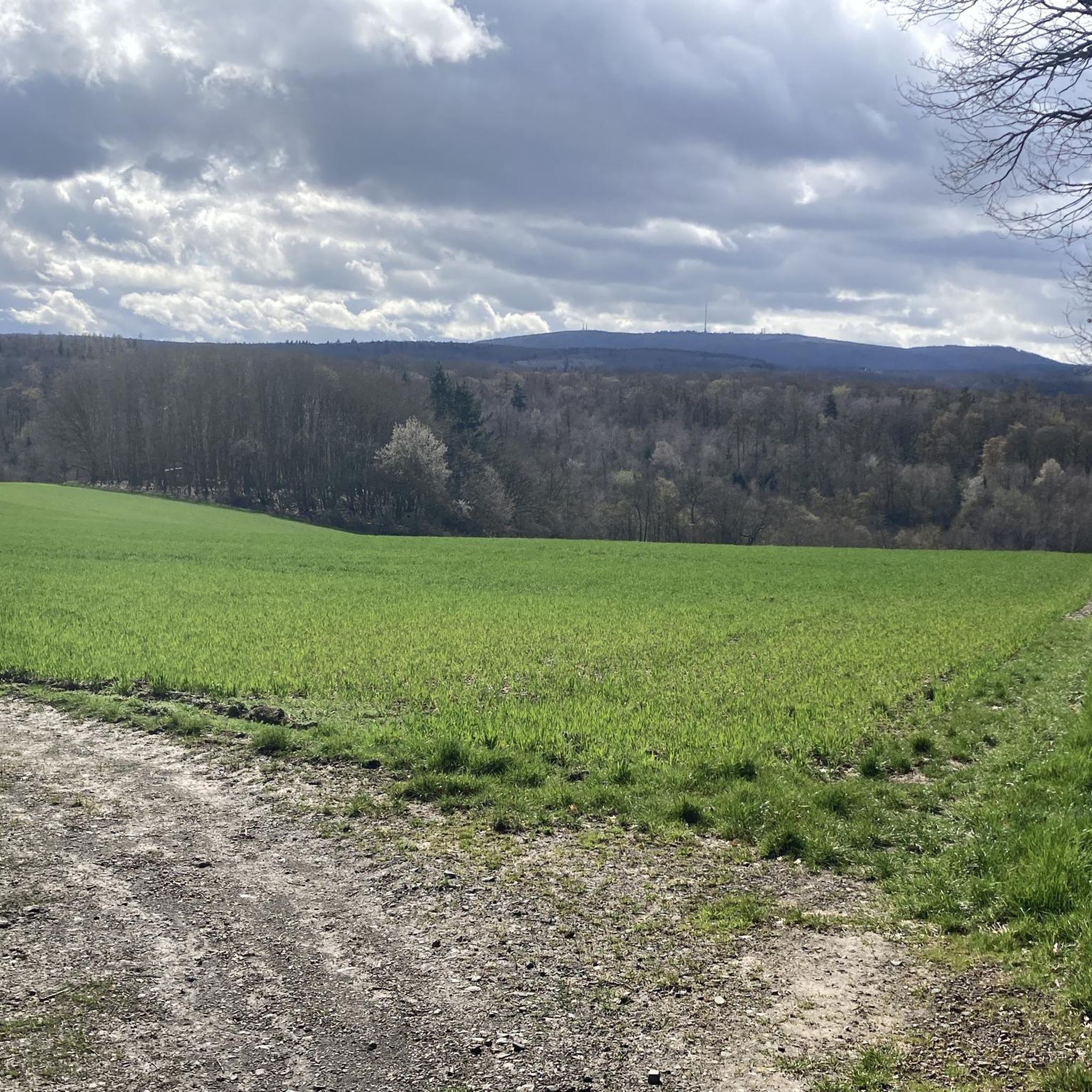
Gigantic view. And I don't find the many wind turbines disturbing either. At least nicer than KKW's.
13
1
A great view from the highest mountain in RLP - a visit is definitely worth it
10
0
오버비젠 주변에서 가장 인기 있는 명소


더 살펴보기
이 가이드를 통해 오버비젠 주변의 더 놀라운 정상들을 확인해보세요:
