경로

플래너

기능

업데이트

App

로그인 또는 가입

앱 다운로드

로그인 또는 가입

경로
Places to see
Mountain Peaks
독일
라인란트-팔츠
불카네이펠

슈테펠른

슈테펠른‬에서 가장 멋진 ‪8‬개의 산 정상


슈테펠른의 산 정상에 오르면 이 지역의 아름다운 모습을 제대로 구경할 수 있어요. 다만, 8
곳이나 되는 산 정상 중에서 어떤 곳을 가야 할 지 고민된다는 게 문제죠. 슈테펠른에서 가장 멋진 산 정상을 살펴본 후에 마음에 드는 산 정상을 다음 모험 계획에 추가해보세요.

마지막 업데이트: 7월 8, 2026

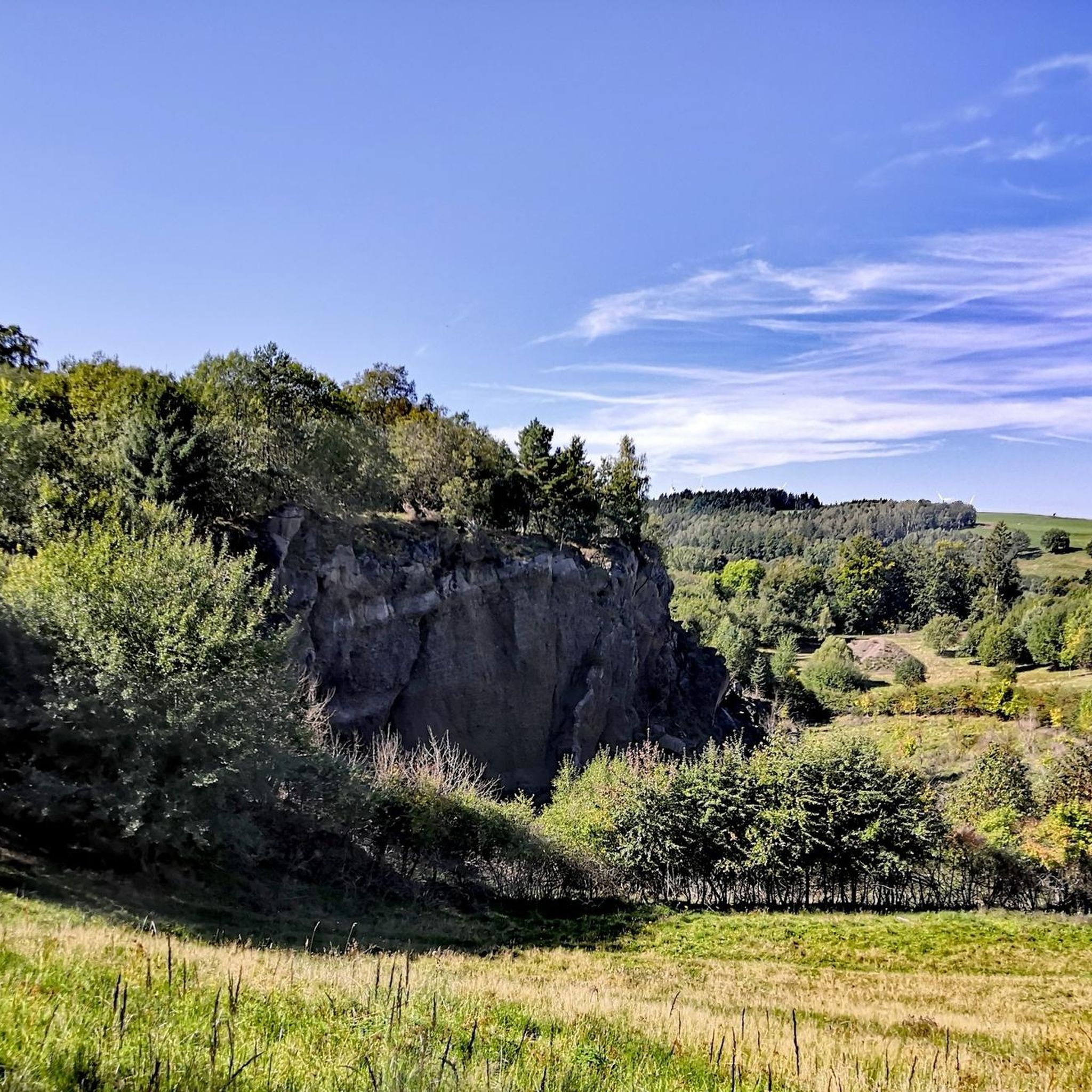
문터레이에서 본 게롤슈타인 전망

하이라이트 • 전망대

One of the most beautiful highlights on a hike through the Gerolstein Dolomites. Be sure to take a break and enjoy the fantastic view over Gerolstein and the beautiful Kylltal. …

번역자 Google •

에 의해

하이킹 보기

휴대폰으로 전송

저장

The approach is a bit steep, but the little effort is worth it. Must be done or seen. Of course, the weather has to play along.

번역자 Google •

에 의해

저장

이런 장소를 발견하려면 지금 가입하세요

최고의 싱글 트랙, 봉우리 및 다양한 흥미로운 야외 장소에 대한 추천을 받아보세요.

무료 회원 가입

The Kalvarienberg is located in the middle of the juniper reserve "Lampertstal" in the municipality of Blankenheim. It is the largest contiguous juniper area in North Rhine-Westphalia. Pasque Flower, 31 …

번역자 Google •

에 의해

저장

Large bench with panoramic views.
Simply fantastic for a nice break.

번역자 Google •

에 의해

저장

Langer Stein과 Seimersberg

하이라이트 • 정상

"To the west of the Langer Stein (640m) and Seimersberg (662m) we move to the Prümer Kopf. The gradients have so far proven to be very moderate, as they are …

번역자 Google •

에 의해

저장

무료로 가입하여 슈테펠른 주변의 더 많은 봉우리를 발견하세요.

무료 회원 가입

이미 komoot 계정이 있나요?

오늘 무료 계정으로 시작하세요

다음 모험이 기다리고 있어요.
로그인 또는 가입하기

슈테펠른 주변 인기 장소

슈테펠른 하이킹

슈테펠른 MTB 트레일

슈테펠른 로드 사이클링 경로

슈테펠른 사이클링

슈테펠른 주변 그래블 라이딩

슈테펠른 러닝 트레일

커뮤니티 팁

Youngtimer
12월 21, 2025, Giant Bench with View of Berlingen, Rockeskyll, and Kasselburg

Great panoramic view overlooking Kasselburg Pelm

번역: Google

1

0

When the weather is good, you have a fantastic view over the hills of the Volcanic Eifel from here.

번역: Google

3

0

The view from here is phenomenal.

번역: Google

1

0

"To the west of the Langer Stein (640m) and Seimersberg (662m) we move to the Prümer Kopf. The gradients have so far proven to be very moderate, as they are today. In the surrounding spruce forest we repeatedly discover up to two meter high anthills ( https://www.das-tierlexikon.de/ameise/) and these are often surprisingly close together. We also encounter an unusually large number of hard-working dung beetles; we often have to be very careful not to step on them. (https://www .biologie-schule.de/mistkaefer-steckbrief.php)" https://www.komoot.de/tour/778942841

번역: Google

0

0

The Liberation Beech stands at the highest point of the Alter Foss mountain. According to the stories, it was a strategically important lookout point during the Thirty Years' War. From there you could see the towns of Pelm, Gerolstein, Rockeskyll, Hohenfels, Essingen, Betteldorf, Kirchweiler and Hinterweiler. https://kulturdb.de/einobjekt.php?id=48574

번역: Google

0

0

Just a few more meters and you've made it. At the top there is a great view and nice seating. Top!

번역: Google

8

0

The mountain path leads through an extremely barren and beautiful juniper landscape. Loosened up by the Stations of the Cross and peppered with beautiful views of the valley.

번역: Google

9

0

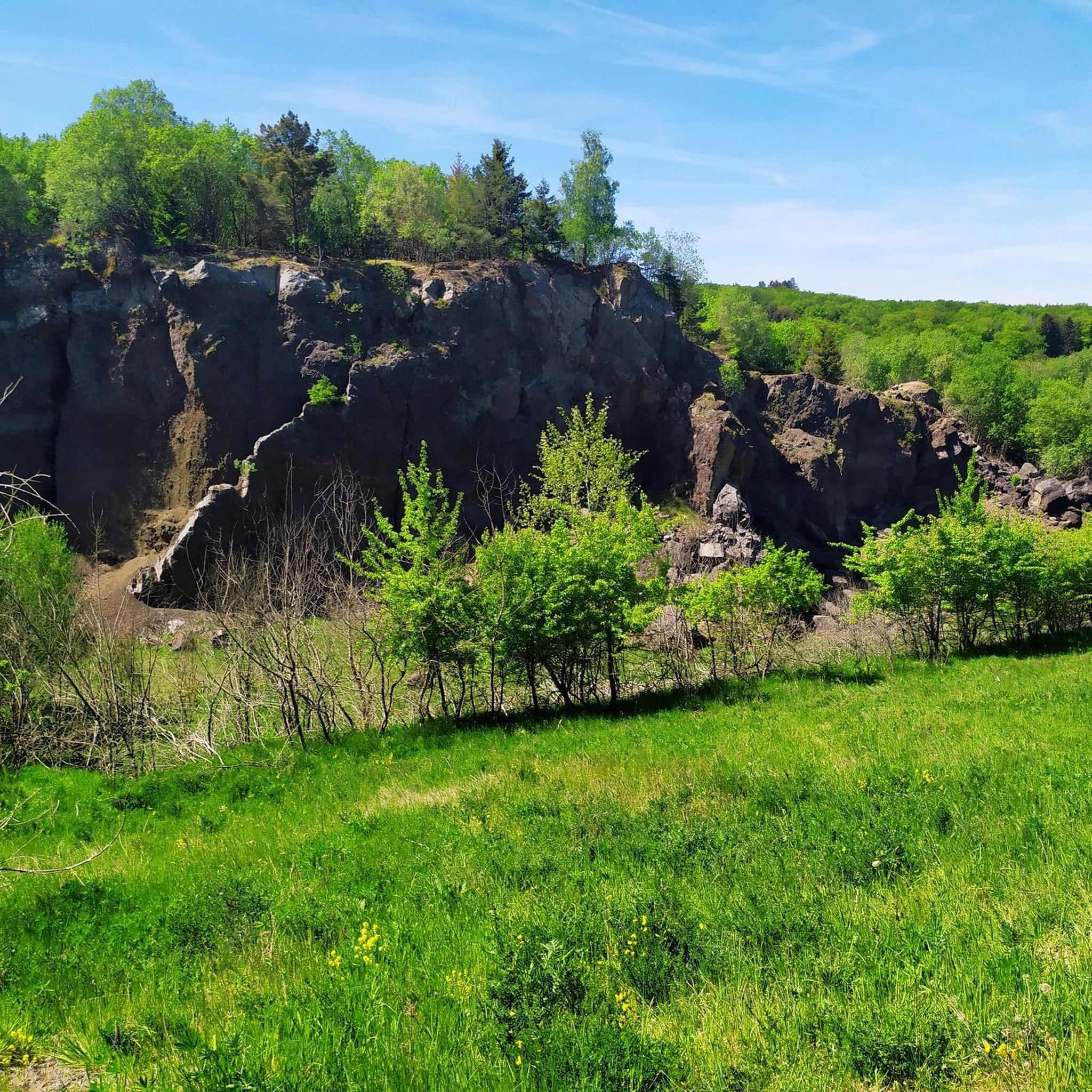
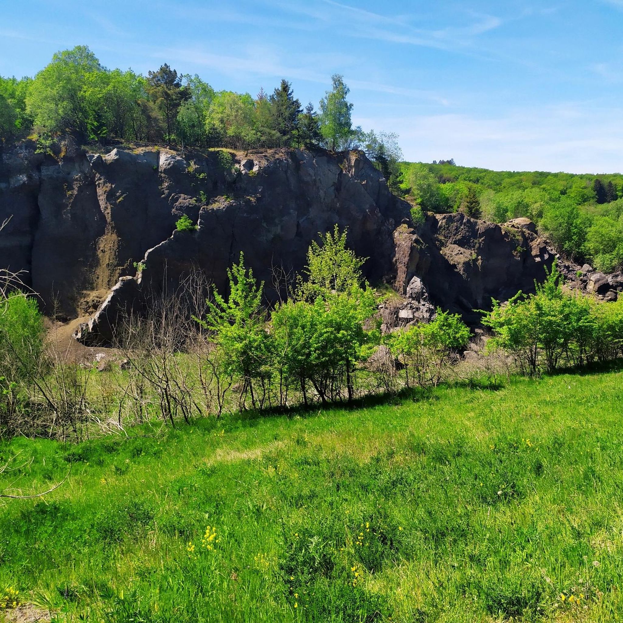
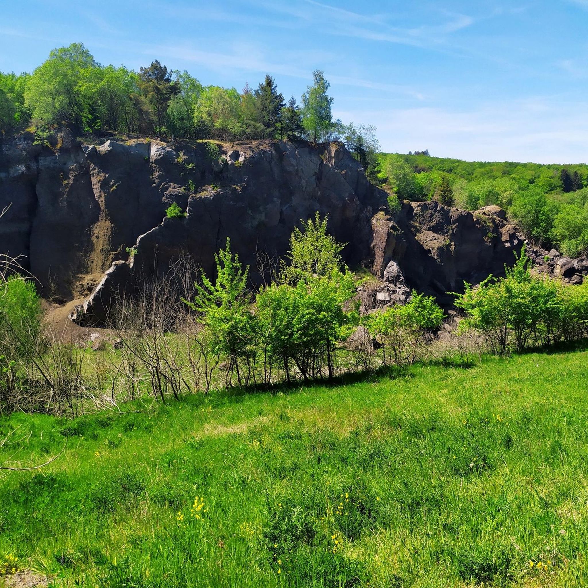
"With an area of approx. 102 hectares, the area around the Gerolsteiner Dolomites has been a nature reserve since 1990. + occurring animal species: bat + occurring plant species: juniper, orchids, character plants calcareous grassland, grove rush-beech forest, woodruff-beech forest, orchid-limestone-beech forest Around 380 million years ago there was a warm, subtropical shallow sea here, in which mighty reefs of stromatopores - relatives of sponges - and corals formed. After the dolomitization, sinking and folding of the rocks, the Devonian deposits were lifted out again. Today's Gerolsteiner Dolomites were formed, which rise steeply above the Kylltal north of the center of Gerolstein. The rocks "Hustley", "Munterley", "Drohende Ley", "Große Kanzel" and "Auberg" characterize the cityscape from afar and form the landmark of Gerolstein. The most famous summit of the Gerolsteiner Dolomites is the "Munterley" - with a height of 482 meters - and offers a breathtaking view over Gerolstein, the Kylltal and far into the Vulkaneifel. Stone Age people, who settled here 30,000 years ago, obviously enjoyed this view, as evidenced by stone tools and bones found at the nearby Buchenloch Cave. Visiting the Gerolsteiner Dolomites can be perfectly combined with hiking the Felsenpfad - the northern part of the "Gerolsteiner Dolomiten Acht". The almost eight-kilometer round tour offers many magical places and geological traces." https://www.eifel.info/a-gerolsteiner-dolomites

번역: Google

10

0

슈테펠른 주변에서 가장 인기 있는 경로

슈테펠른 하이킹

슈테펠른 주변에서 가장 인기 있는 명소

Places to see

Store rating

komoot 모바일 앱으로 영감을 받아보세요

무료 komoot 계정로 끝없는 야외 모험을 손쉽게 찾고, 맞춤 설정하며 길안내할 수 있어요.

또는

지금 komoot에 가입하세요

Store rating

더 살펴보기

이 가이드를 통해 슈테펠른 주변의 더 놀라운 정상들을 확인해보세요:

오버슈타트펠트니더슈타트펠트위더스도르프다운힌터와일러발렌본슈츠네로스살름드라이스-브뤼크독와일러키르히바일러샬켄메렌회르샤이드사메르스바흐다르샤이드네들렌블렉하우젠펠름롤스타인우들러슈타이닝겐크라덴바흐베텔도르프브록샤이드카츠빈켈버레스본오베레헤-스트로하이히호엔펠스-에싱겐록스킬불카네이펠의 베를린겐돔-라머스도르프힐레스하임네이헨베인하우젠겔렌베르크욱스하임듀데스펠트볼러케르펜(아이펠)봉가드라이메라스브뤼크탈보덴바흐니츠웰체라스커스바흐켈베르그회르슈하우젠드리스웃체라스아르바흐마이스부르크오버베팅겐뮈켈른비스바움비르겔리센도르프베렌바흐베레본질렌펠트레테라스모스브루흐우스이머라스바스버그스트로츠뷔슈뮐렌바흐데메라스스타인버그위어스펠트군데라스콜베라스사센케르셴바흐슈타트킬리스탈오베렐츠카페리히스트론융케라스덴스본할슐라그오르몬트호페라스회흐스트베르크쾨테리헨칼렌본-슈에른뒤파치페우스도르프슐러샤이드윙켈(아이펠)엘샤이드색슬러

근처 어드벤처 가이드

뒤파치 즐길거리

background

새로운 정복을 위한 준비를 하세요

무료로 가입하기

탐험하기
경로경로 플래너기능하이킹MTB 트레일로드 사이클링 경로바이크패킹사이트맵
앱 다운로드
소셜 미디어에서 팔로우하기

© komoot GmbH

개인 정보 보호 정책