오르몬트에서 가장 멋진 6개의 산 정상
오르몬트의 산 정상에 오르면 이 지역의 아름다운 모습을 제대로 구경할 수 있어요. 다만, 6
곳이나 되는 산 정상 중에서 어떤 곳을 가야 할 지 고민된다는 게 문제죠. 오르몬트에서 가장 멋진 산 정상을 살펴본 후에 마음에 드는 산 정상을 다음 모험 계획에 추가해보세요.
마지막 업데이트: 7월 10, 2026
Schwarzer Mann 정상과 목조 조각상
하이라이트 • 정상
번역자 Google •
팁에 의해

바이서 슈타인 전망대
하이라이트 • 전망대
번역자 Google •
팁에 의해

이런 장소를 발견하려면 지금 가입하세요
최고의 싱글 트랙, 봉우리 및 다양한 흥미로운 야외 장소에 대한 추천을 받아보세요.
무료 회원 가입
Schwarzer Mann (스키 및 레크리에이션 지역)
하이라이트 • 휴식 공간
번역자 Google •
팁에 의해

Langer Stein과 Seimersberg
하이라이트 • 정상
번역자 Google •
팁에 의해

Eifel-Bärbelkreuz 송신소
하이라이트 • 기념물
번역자 Google •
팁에 의해
무료로 가입하여 오르몬트 주변의 더 많은 봉우리를 발견하세요.
무료 회원 가입
이미 komoot 계정이 있나요?
오늘 무료 계정으로 시작하세요
다음 모험이 기다리고 있어요.
로그인 또는 가입하기
커뮤니티 팁

The modern observation tower, approximately 30 meters high, was built in 2014. From its platform, one can enjoy an impressive panoramic view of surrounding mountains such as the Hohe Acht, the Aremberg, the Michelsberg, and the Nürburgring when visibility is good. Information panels explain the directions of the view and make orientation easier.
23
0

The 30-metre observation tower was built at the end of 2014 to replace the previous tower that stood here from 1973 to 2011. Climb up the 147 steps to enjoy a panoramic view of your surroundings from an elevation of 720 metres.
4
1

Great location, definitely worth a visit. If you look closely at the stone you can still see parts of the writing that was once there. Unfortunately the writing is almost illegible due to shrapnel etc.
1
0

The WDR transmitter "Bärbelkreuz" is named after the "Bärbelkreuz" summit, which is 1.1 km away.
2
0

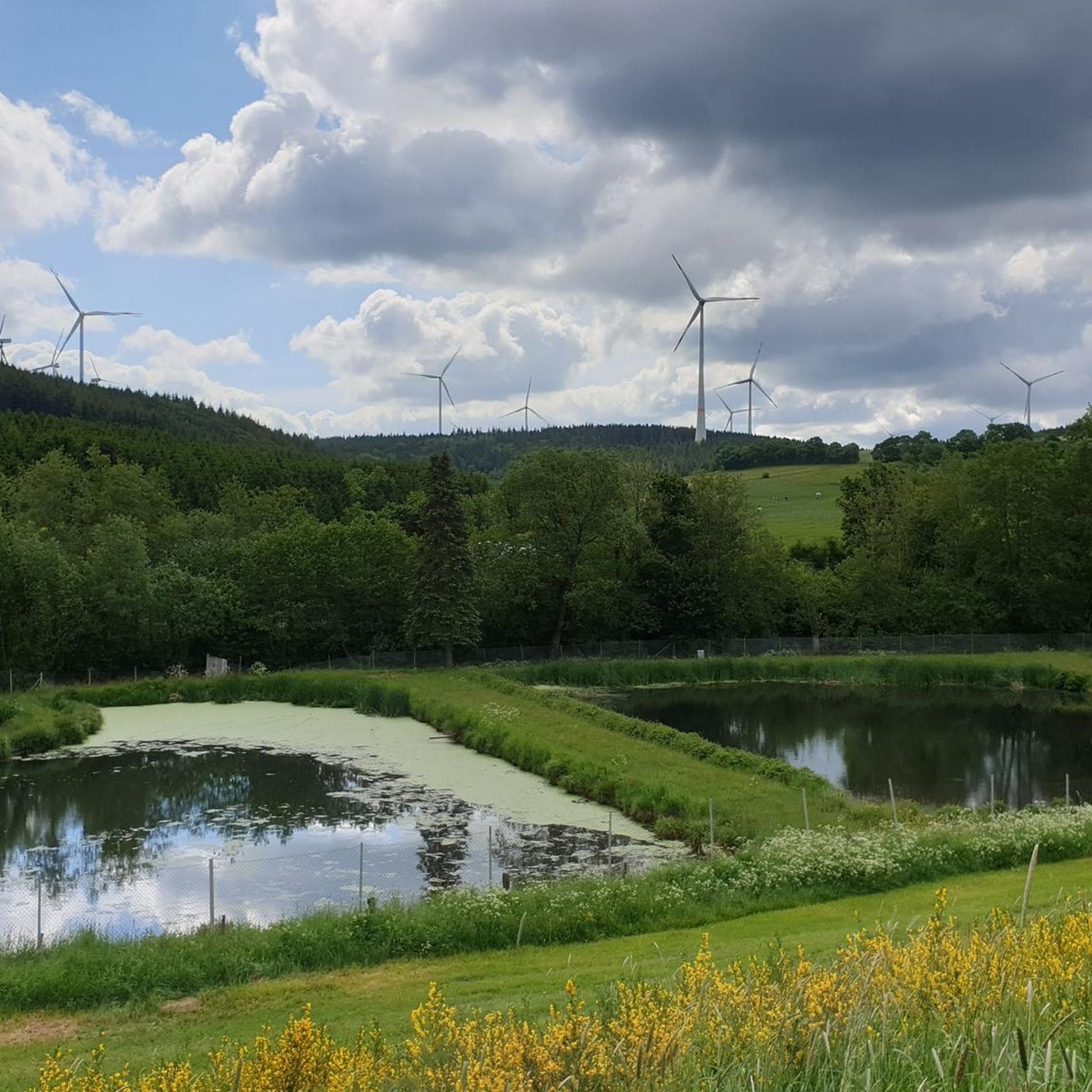
Der Schwarzer Mann is a statue that stands at the height of the Eiffel. And is located in the winter sports area of the Eiffel nice confirmation area for walking, with many attractions, such as a Dwarf boulder and remains of an old bunker
2
0

"To the west of the Langer Stein (640m) and Seimersberg (662m) we move to the Prümer Kopf. The gradients have so far proven to be very moderate, as they are today. In the surrounding spruce forest we repeatedly discover up to two meter high anthills ( https://www.das-tierlexikon.de/ameise/) and these are often surprisingly close together. We also encounter an unusually large number of hard-working dung beetles; we often have to be very careful not to step on them. (https://www .biologie-schule.de/mistkaefer-steckbrief.php)" https://www.komoot.de/tour/778942841
0
0

The name Black Man has nothing to do with the children's frightening figure The Black Man, but with the black faces of the miners when mining lead ore in the mines of Bleialf. The summit used to be called "Kerschgeroth", which probably derives from the clearing of the heavily forested area. Source: Wikipedia
0
0
The name Black Man has nothing to do with the children's frightening figure The Black Man, but with the black faces of the miners when mining lead ore in the mines of Bleialf. The summit used to be called "Kerschgeroth", which probably derives from the clearing of the heavily forested area. (Source: Wikipedia)
0
0
오르몬트 주변에서 가장 인기 있는 명소


더 살펴보기
이 가이드를 통해 오르몬트 주변의 더 놀라운 정상들을 확인해보세요:
