20의 슈테펠른가지 명소 & 주요 장소
슈테펠른에는 둘러볼 만한 장소가 많답니다. 하이킹 또는 사이클링을 좋아한다면 슈테펠른에 숨겨진 20
가지 보석을 만날 수 있을 거예요. 이 지역의 주요 명소를 살펴보면서 다음 모험을 계획해보세요.
마지막 업데이트: 10월 10, 2026

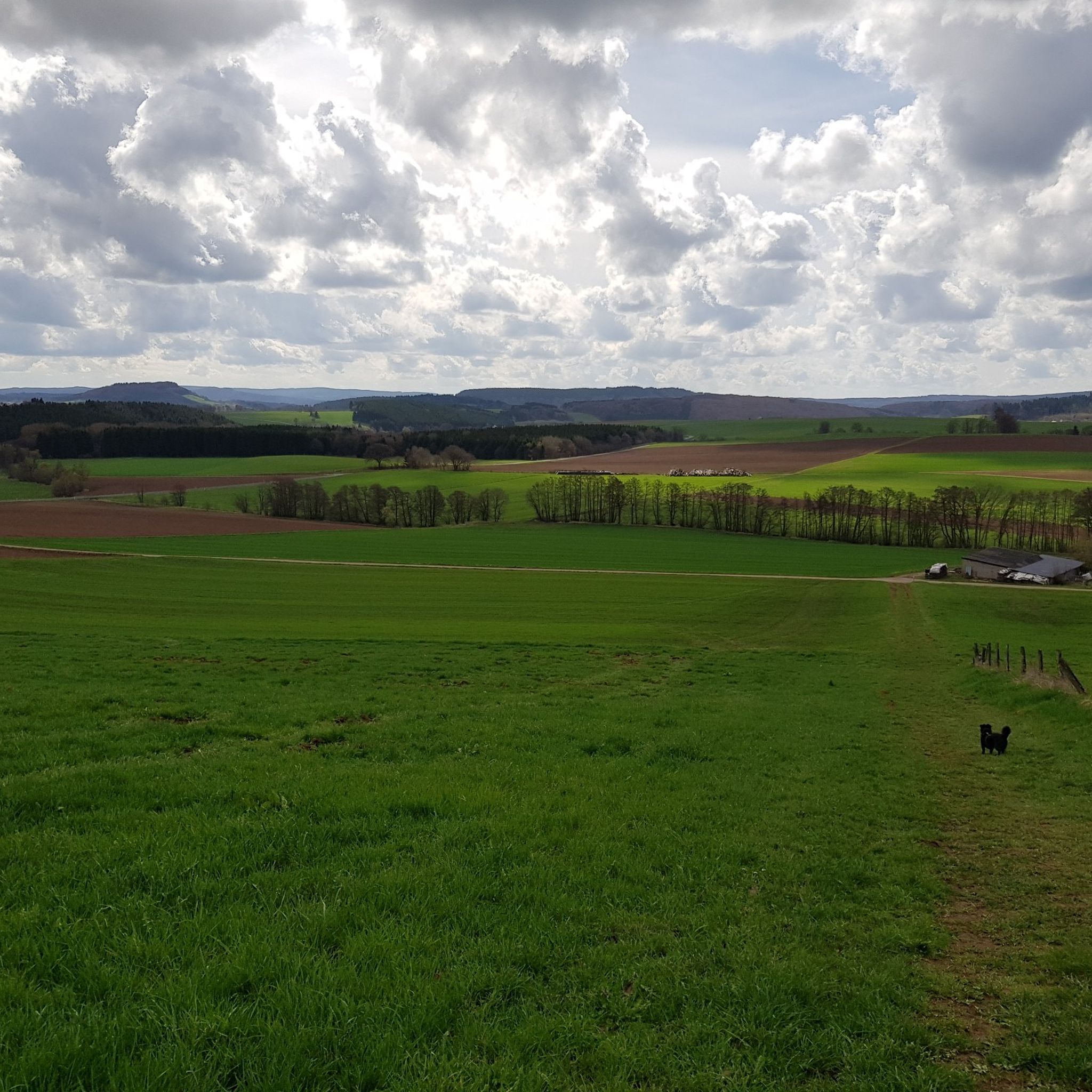
문터레이에서 본 게롤슈타인 전망
하이라이트 • 전망대
번역자 Google •
팁에 의해
이런 장소를 발견하려면 지금 가입하세요
최고의 싱글 트랙, 봉우리 및 다양한 흥미로운 야외 장소에 대한 추천을 받아보세요.
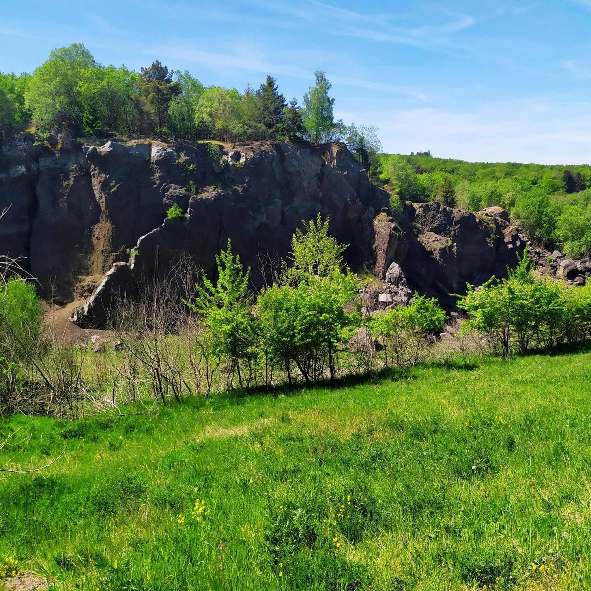
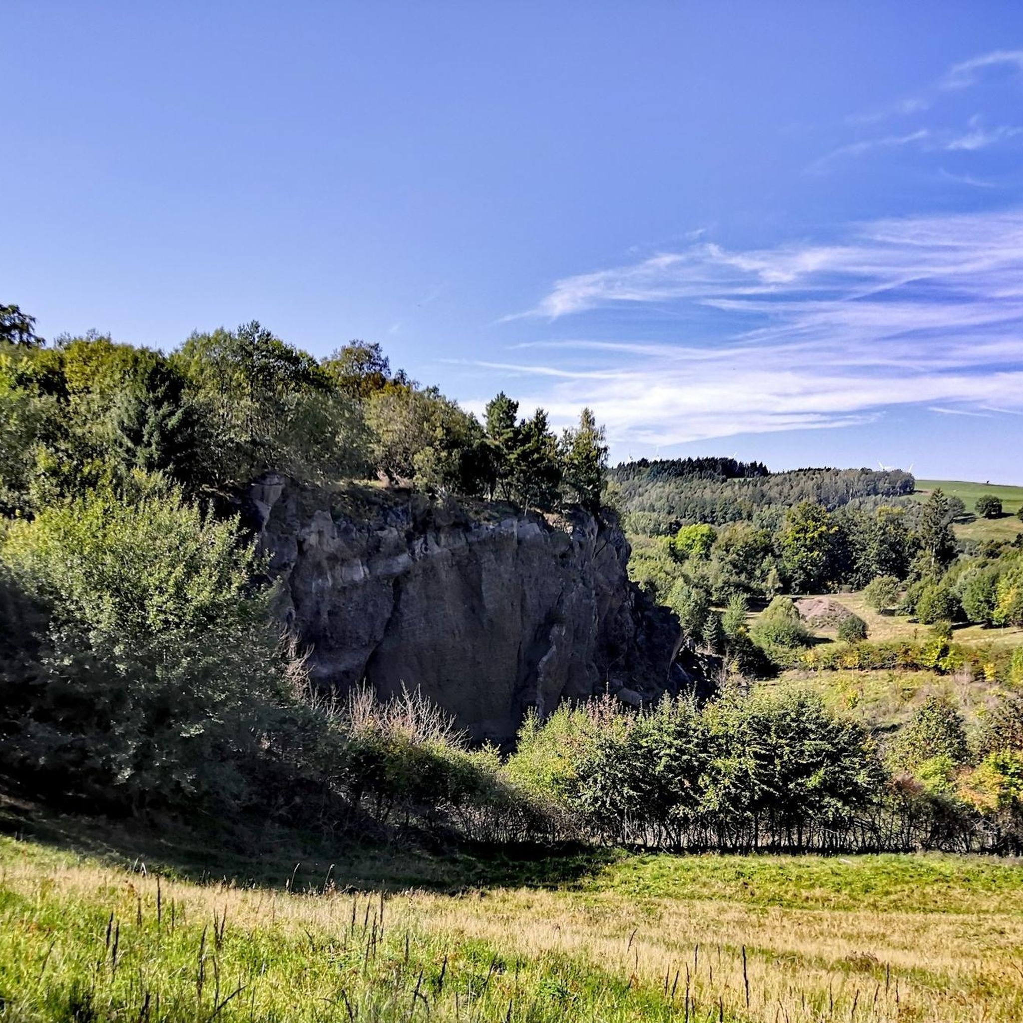
게롤슈타이너 돌로미텐 암석 지형
하이라이트 • 자연 기념물
+ animal species found: bat
+ plant species found: …
번역자 Google •
팁에 의해

칼바리엔베르크 트레일 (알렌도르프)
하이라이트 • 트레일
번역자 Google •
팁에 의해

칼바리엔베르크에서 바라본 알렌도르프와 람퍼트스탈 전망
하이라이트 • 전망대
번역자 Google •
팁에 의해

무료로 가입하여 슈테펠른 주변의 더 많은 명소를 발견하세요.
이미 komoot 계정이 있나요?
오늘 무료 계정으로 시작하세요
다음 모험이 기다리고 있어요.
커뮤니티 팁

https://de.m.wikipedia.org/wiki/Gerolsteiner Dolomiten The tour was really beautiful... It won't be the last time I'm there ❤️
9
0

Just a few more meters and you've made it. At the top there is a great view and nice seating. Top!
8
0

The mountain path leads through an extremely barren and beautiful juniper landscape. Loosened up by the Stations of the Cross and peppered with beautiful views of the valley.
9
0

The great rocks rise impressively in front of us. Just great to experience something like this here. The name Gerolsteiner Dolomites speaks for itself.
12
1

The trail leads to the 'Buchenloch Cave' which lies at the far edge of the Munterley Plateau. This was created 1.8 million years ago from a millimeter-wide crack in the rock massif and was used by people in the Neolithic Age 300,000 years ago.
12
1
Almost 400 million years ago, where the Gerolsteiner Dolomites rise today, there was a subtropical shallow sea with a huge reef that is one of the oldest reefs on earth. This particularly beautiful and attractive hiking trail with scenic and geological features takes the hiker into an exciting past of our planet with beautiful views from Munterley and Hustley into the Kylltal.
10
1
"With an area of around 102 hectares, the area around the Gerolstein Dolomites has been designated a nature reserve since 1990. + animal species found: bat + plant species found: juniper, orchids, characteristic plants, calcareous grassland, woodrush beech forest, woodruff beech forest, orchid calcareous beech forest Around 380 million years ago, there was a warm, subtropical shallow sea here, in which mighty reefs of stromatoporoids - relatives of sponges - and corals formed. After the dolomitization, sinking and folding of the rocks, the Devonian deposits were lifted out again. This created today's Gerolstein Dolomites, which rise steeply above the Kyll valley north of the center of Gerolstein. The rocks "Hustley", "Munterley", "Drohende Ley", "Große Kanzel" and "Auberg" characterize the cityscape even from afar and form the landmark Gerolsteins. The most famous peak of the Gerolstein Dolomites is the "Munterley" - with a height of 482 meters - and offers a breathtaking view over Gerolstein, the Kyll valley and far into the Volcanic Eifel. This view was obviously also enjoyed by Stone Age people who settled here 30,000 years ago, as evidenced by stone tools and bones found in the nearby Buchenloch cave. Visit to the Gerolstein Dolomites can be perfectly combined with hiking the rock path - the northern part of the "Gerolstein Dolomites Eight". The almost eight-kilometer-long circular tour offers many magical places and geological traces." https://www.eifel.info/a-gerolsteiner-dolomiten
13
0
"With an area of approx. 102 hectares, the area around the Gerolsteiner Dolomites has been a nature reserve since 1990. + occurring animal species: bat + occurring plant species: juniper, orchids, character plants calcareous grassland, grove rush-beech forest, woodruff-beech forest, orchid-limestone-beech forest Around 380 million years ago there was a warm, subtropical shallow sea here, in which mighty reefs of stromatopores - relatives of sponges - and corals formed. After the dolomitization, sinking and folding of the rocks, the Devonian deposits were lifted out again. Today's Gerolsteiner Dolomites were formed, which rise steeply above the Kylltal north of the center of Gerolstein. The rocks "Hustley", "Munterley", "Drohende Ley", "Große Kanzel" and "Auberg" characterize the cityscape from afar and form the landmark of Gerolstein. The most famous summit of the Gerolsteiner Dolomites is the "Munterley" - with a height of 482 meters - and offers a breathtaking view over Gerolstein, the Kylltal and far into the Vulkaneifel. Stone Age people, who settled here 30,000 years ago, obviously enjoyed this view, as evidenced by stone tools and bones found at the nearby Buchenloch Cave. Visiting the Gerolsteiner Dolomites can be perfectly combined with hiking the Felsenpfad - the northern part of the "Gerolsteiner Dolomiten Acht". The almost eight-kilometer round tour offers many magical places and geological traces." https://www.eifel.info/a-gerolsteiner-dolomites
10
0
슈테펠른 주변에서 가장 인기 있는 명소


더 살펴보기
찾고 있는 하이라이트를 아직 못 찾으셨나요? 다른 지역의 주요 명소 가이드를 확인해보세요:
