미스텔가우에서 가장 멋진 13개의 산 정상
미스텔가우의 산 정상에 오르면 이 지역의 아름다운 모습을 제대로 구경할 수 있어요. 다만, 13
곳이나 되는 산 정상 중에서 어떤 곳을 가야 할 지 고민된다는 게 문제죠. 미스텔가우에서 가장 멋진 산 정상을 살펴본 후에 마음에 드는 산 정상을 다음 모험 계획에 추가해보세요.
마지막 업데이트: 10월 16, 2026

노이뷔르크 고원과 조각 공원
하이라이트 • 전망대
번역자 Google •
팁에 의해

이런 장소를 발견하려면 지금 가입하세요
최고의 싱글 트랙, 봉우리 및 다양한 흥미로운 야외 장소에 대한 추천을 받아보세요.
Hohe Leite
하이라이트 • 전망대
번역문 보기
팁에 의해

소피엔베르크(쿨름베르크)
하이라이트 • 정상
번역자 Google •
팁에 의해
무료로 가입하여 미스텔가우 주변의 더 많은 봉우리를 발견하세요.
이미 komoot 계정이 있나요?

커뮤니티 팁

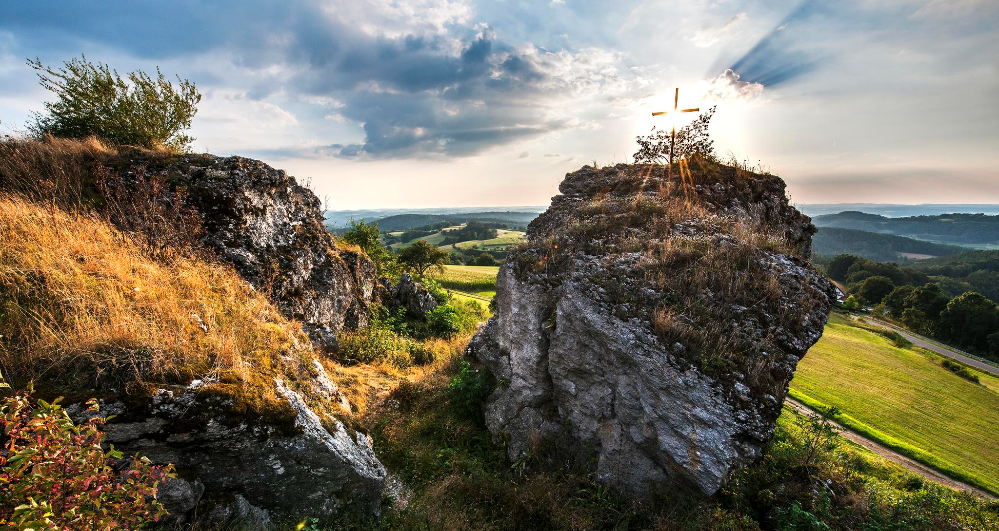
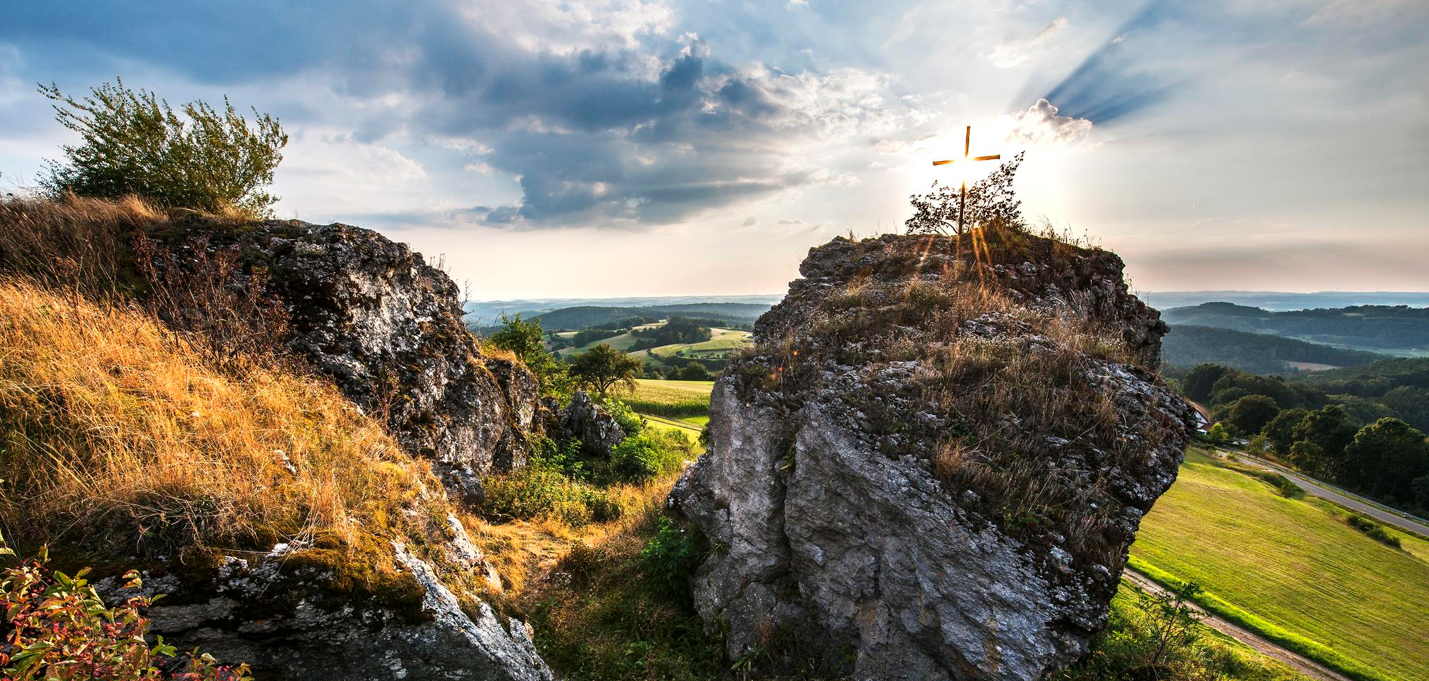
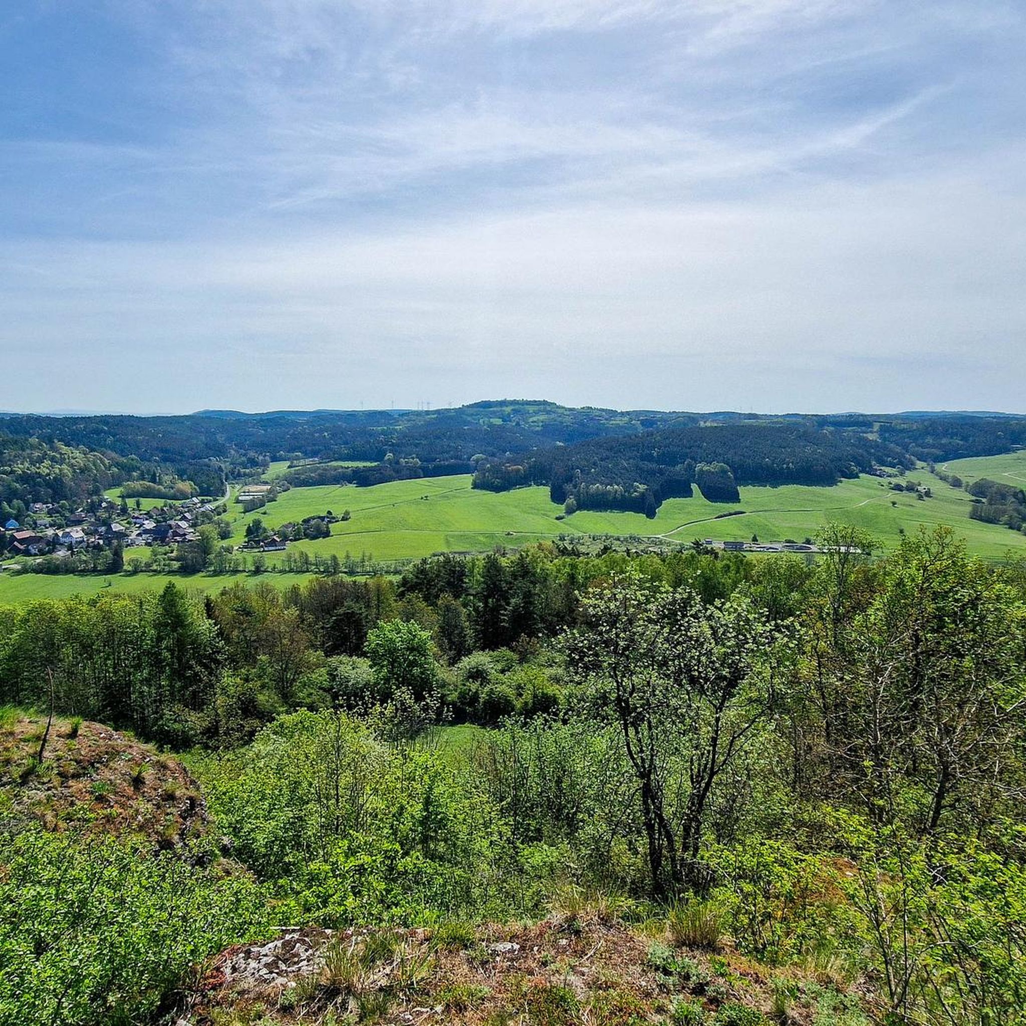
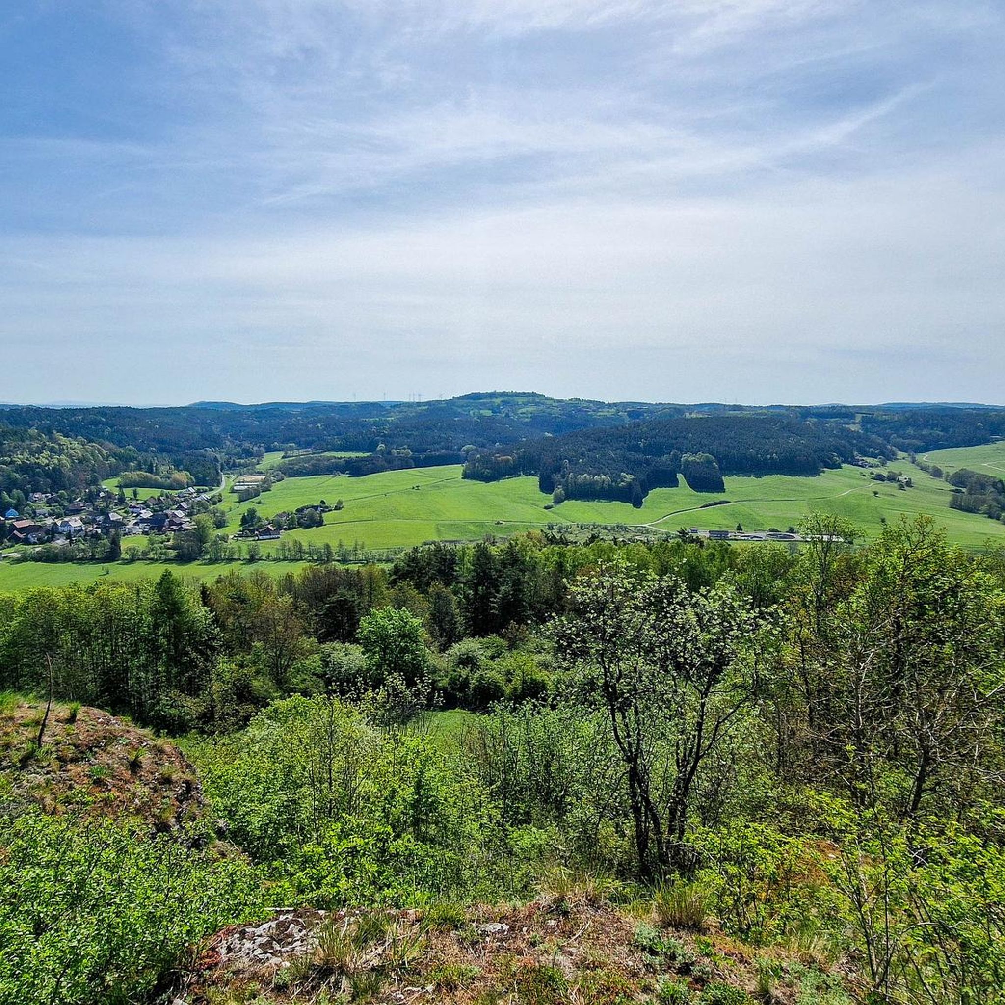
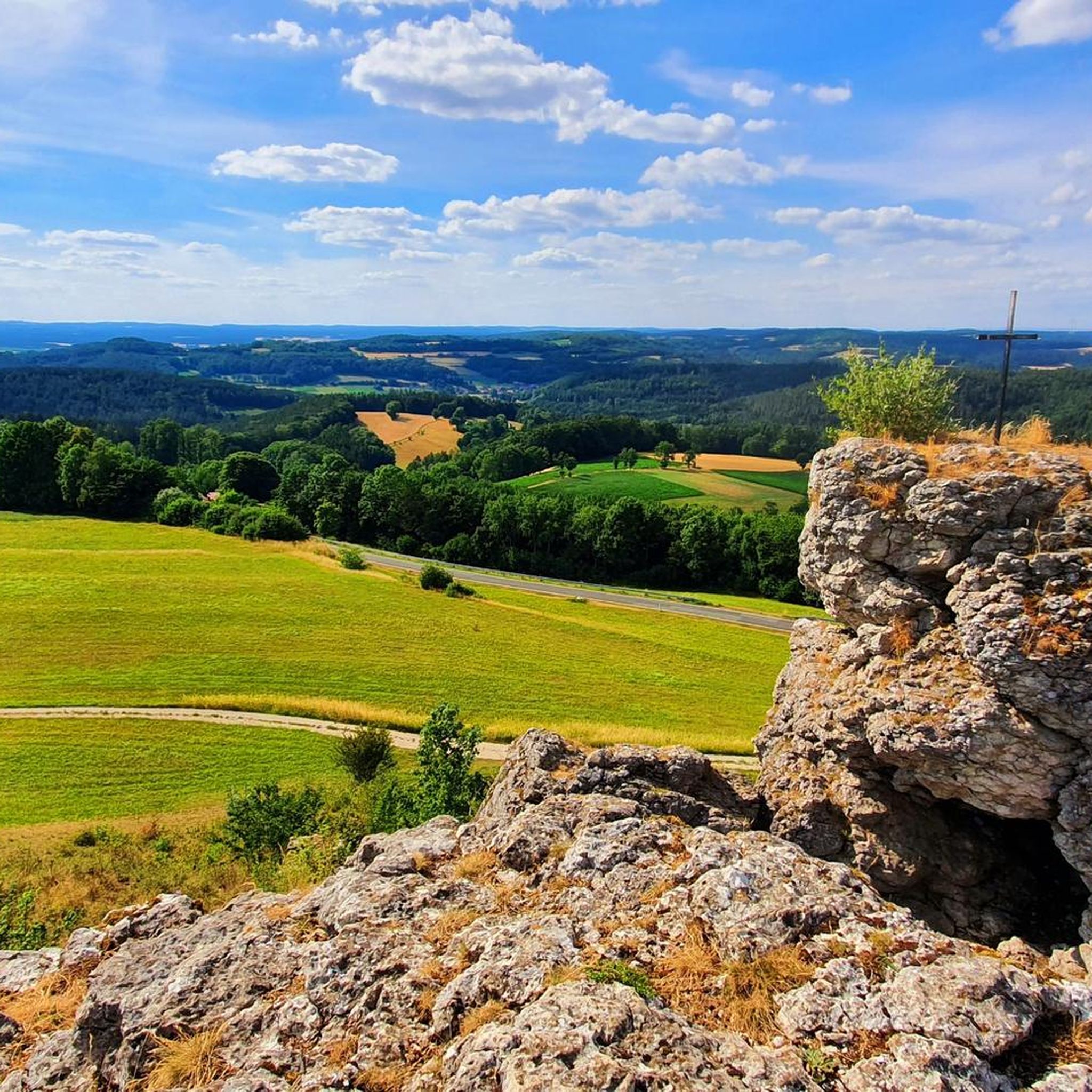
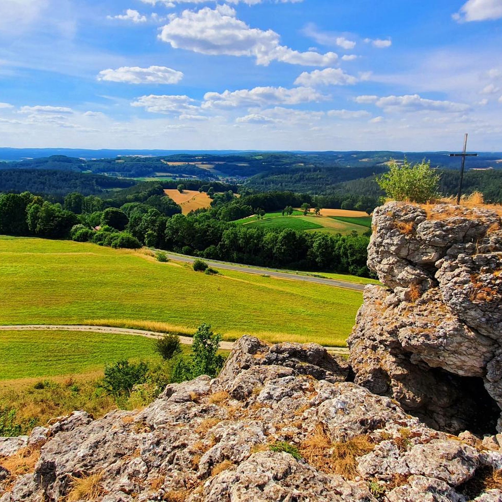
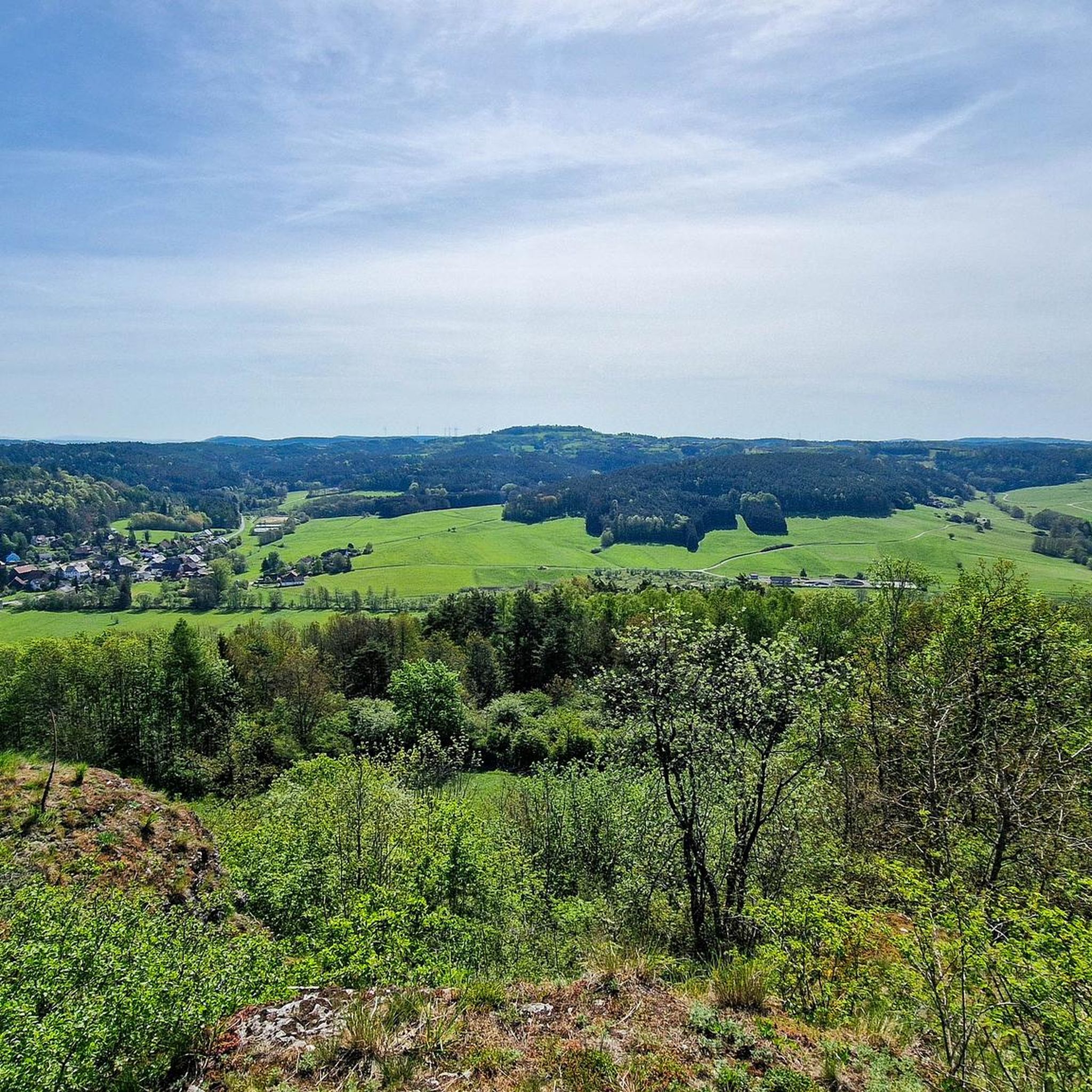
호헨 라이테 능선은 하슬라흐 마을 북쪽에 있으며 자연 보호 구역입니다. 가장 높은 곳에는 자연 애호가를 위한 숨 막힐 듯 아름다운 전망을 갖춘 좌석 공간이 있습니다. 북동쪽으로는 호헨미르스베르거 플라테가 가까이에서 전망을 압도합니다. 그 동쪽으로는 괴스바인슈타인 성을 볼 수 있습니다. 호헨 라이테 능선은 속칭 "일곱 형제"라고도 불립니다. 해발 561미터의 호헨 라이테는 예로부터 신화적인 숲과 건조한 초원 지대였습니다. 이 산등성이는 지질학적 특성이 특징인 다양한 자연 공간의 일부입니다. 수천 년에 걸쳐 침식과 지질학적 과정을 통해 형성된 전형적인 석회암 지형을 이곳에서 볼 수 있습니다. 이 바위와 절벽은 숨 막힐 듯 아름다운 배경을 제공할 뿐만 아니라 수많은 희귀 동식물을 위한 서식지를 제공합니다.
4
0

At the summit, you'll enjoy a schnapps. Unfortunately, there's no view from the summit.
0
0

Since the community of Obernschreez suffered no casualties in the First World War, it planted an oak tree on the mountain in commemoration. The community of Schreez (formed in 1939 from the merger of Obernschreez and Unternschreez) erected a memorial on the mountain in 1952 for the fallen and missing soldiers of the Second World War.
11
2
A fortified Celtic hilltop settlement can be traced back to around 550 BC on Sophienberg. In the 12th century, Counts Ulrich and Poppo von Blassenberg built Culmberg Castle. In 1494, Frederick II, Margrave of Brandenburg-Kulmbach, had a watchtower erected there. Nikol von Heerdegen built a knight's castle on the hill in 1513. In 1614, Heerdegen sold the manor to Margrave Christian's first wife, Marie of Prussia, who had the castle restored. In 1662, Margrave Christian Ernst gave the estates on the hill to his young wife, Erdmuthe Sophie. Between 1663 and 1668, she had the already dilapidated castle converted into a new palace, Sophienburg. Tradition has it that the White Lady haunts this building. It was no longer inhabited by 1687, and from 1724 onward, it was no longer administered. It was left to decay, and only remnants of the foundations remain. The Sophienberg exerted a great attraction on Richard Wagner, who first visited it with his wife Cosima and Malwida von Meysenbug in 1872 during his time in Donndorf.
11
2
The Neubürg table mountain is the second highest elevation in the region at 587 meters, after the Sophienberg (593 meters). It is located in the Mistelgau municipality. The Neubürg was formed in the Jurassic period. The top layer consists of limestone, followed by Ornatenton and iron sandstone. The Neubürg is called a table mountain because it has a flat table surface instead of a dome. Due to the erosion-related formation, the Neubürg is also called an island or witness mountain. It stands like an island in the further eroded environment and "witnesses" the rock layers that previously covered the entire area.
13
3


Beautiful mountain, with both flat and steep climbs. However, there is no expansive view at the summit, but rather a kind of plateau.
4
2

To the east of the summit runs the A9 motorway, which can be clearly heard at times. The lower northern circular route offers a magnificent view over Bayreuth, into the Franconian Forest, and into the Fichtel Mountains. If I'm not mistaken, the Sophienberg is the second-highest mountain in the area, following the Neubürg table mountain.
3
2
미스텔가우 주변에서 가장 인기 있는 명소


더 살펴보기
이 가이드를 통해 미스텔가우 주변의 더 놀라운 정상들을 확인해보세요:
