칼슈타인 암 마인에서 가장 멋진 11개의 산 정상
칼슈타인 암 마인의 산 정상에 오르면 이 지역의 아름다운 모습을 제대로 구경할 수 있어요. 다만, 11
곳이나 되는 산 정상 중에서 어떤 곳을 가야 할 지 고민된다는 게 문제죠. 칼슈타인 암 마인에서 가장 멋진 산 정상을 살펴본 후에 마음에 드는 산 정상을 다음 모험 계획에 추가해보세요.
마지막 업데이트: 8월 31, 2026
루트비히탑 (하넨캄)
하이라이트 • 전망대
번역자 Google •
팁에 의해

뮐하임 가일렌베르크 정상
하이라이트 • 정상
번역자 Google •
팁에 의해

이런 장소를 발견하려면 지금 가입하세요
최고의 싱글 트랙, 봉우리 및 다양한 흥미로운 야외 장소에 대한 추천을 받아보세요.
무료 회원 가입

부르크 샨첸코프(성곽)
하이라이트 • 역사적 장소
번역자 Google •
팁에 의해

미헬바흐어 기프티거 베르크
하이라이트 • 정상
번역자 Google •
팁에 의해

무료로 가입하여 칼슈타인 암 마인 주변의 더 많은 봉우리를 발견하세요.
무료 회원 가입
이미 komoot 계정이 있나요?
오늘 무료 계정으로 시작하세요
다음 모험이 기다리고 있어요.
로그인 또는 가입하기
커뮤니티 팁

It's a steep climb from there.
0
0

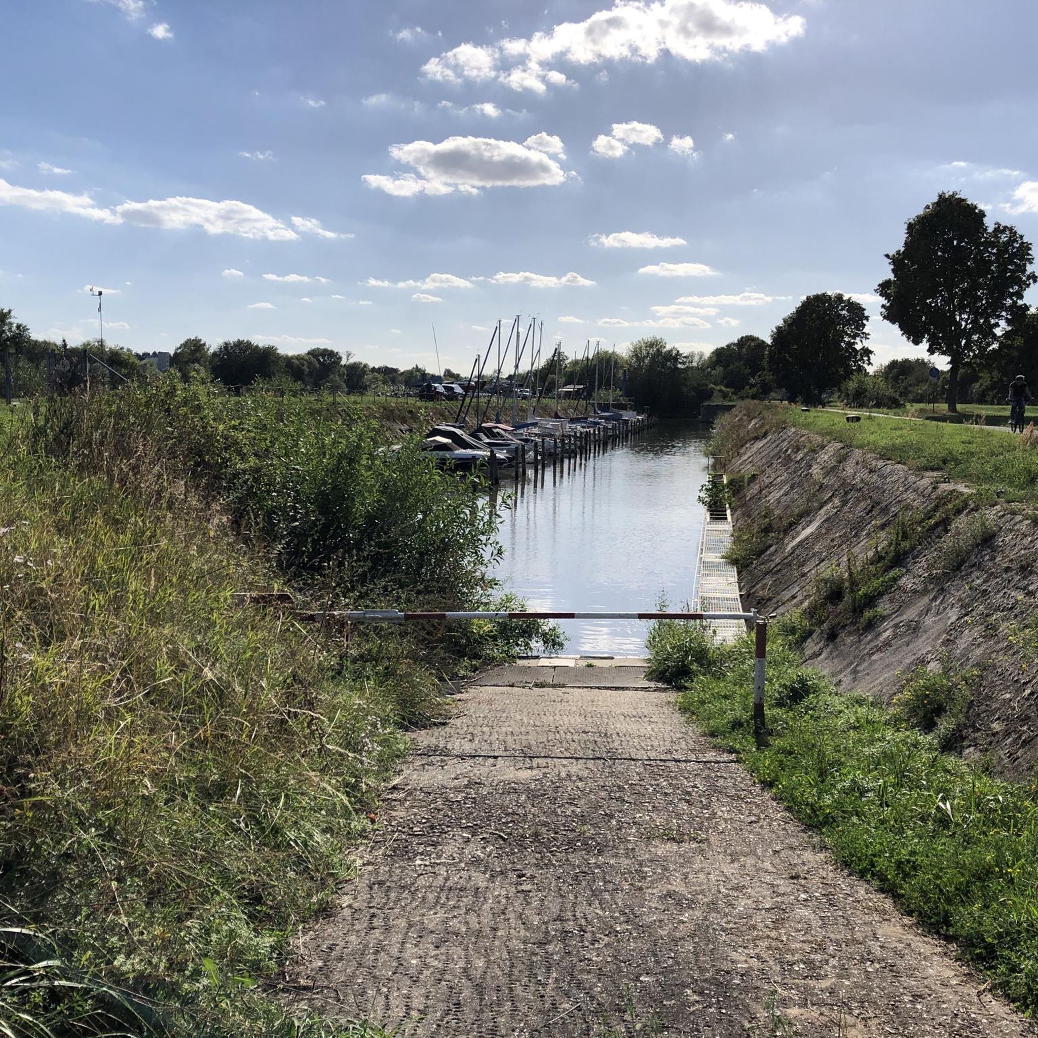
In 2018, the Bavarian State Survey Office determined that Bavaria's lowest mountain is located in the Kahl district. This was publicized by Bavarian Television in the series "Home of Records." Anyone wishing to hike to or visit the Birkenkopf will indeed have a very difficult time... just finding it. The hill lies at exactly 120 meters above sea level, in the middle of a private forest belonging to Emmerichshofen. Assuming the average elevation of the municipality of Kahl is 110 meters above sea level, the "ascent" to the Birkenkopf is actually a mere 10 meters. (Excerpt from kahl-main.de) Currently (December 2025), there are no signposts to the summit. A summit cross was erected in 2023.
3
0

The name of the mountain ⛰️ is: "Birkenkopf" and not "Bunkerkopf" !!!!
4
0
As is common on many other mountains, there is a cross on the summit, great.
3
0
It is quite common to find a cross on a mountaintop.
4
0
For some, however, it is one of the most beautiful peaks.
3
0
The Gailenberg nature reserve has so many special features. It's great that there are some information boards with explanations, great.
1
0
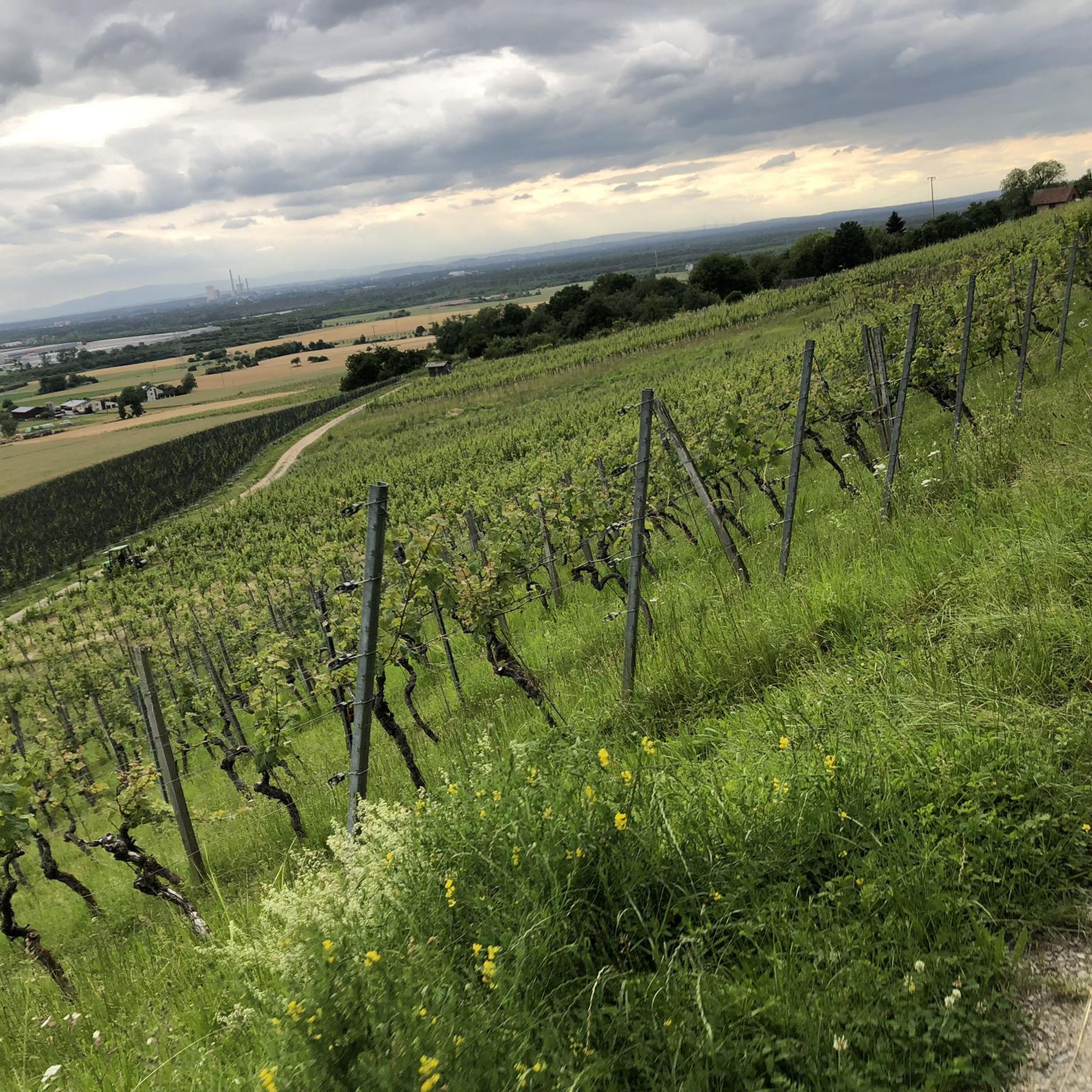
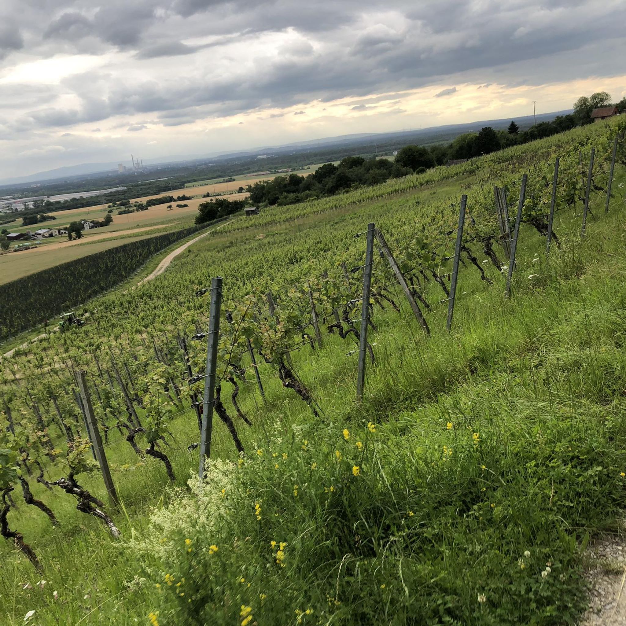
It is a very flat hill in a very sandy area. Wine has been grown here very successfully for several years.
1
0
칼슈타인 암 마인 주변에서 가장 인기 있는 명소


더 살펴보기
이 가이드를 통해 칼슈타인 암 마인 주변의 더 놀라운 정상들을 확인해보세요:
