웨스턴그룬드에서 가장 멋진 17개의 산 정상
웨스턴그룬드의 산 정상에 오르면 이 지역의 아름다운 모습을 제대로 구경할 수 있어요. 다만, 17
곳이나 되는 산 정상 중에서 어떤 곳을 가야 할 지 고민된다는 게 문제죠. 웨스턴그룬드에서 가장 멋진 산 정상을 살펴본 후에 마음에 드는 산 정상을 다음 모험 계획에 추가해보세요.
마지막 업데이트: 9월 13, 2026
루트비히탑 (하넨캄)
하이라이트 • 전망대
번역자 Google •
팁에 의해

후페이젠 숲 갈림길
하이라이트 • 숲
From here it goes in all possible directions
번역자 Google •
팁에 의해

이런 장소를 발견하려면 지금 가입하세요
최고의 싱글 트랙, 봉우리 및 다양한 흥미로운 야외 장소에 대한 추천을 받아보세요.
프란초젠코프 (481m)
하이라이트 • 정상
번역자 Google •
팁에 의해
로이슈베르크의 환호(원형 성곽)
하이라이트 • 역사적 장소
번역자 Google •
팁에 의해

Erkelshöhe – Wiesen의 최고 지점
하이라이트 • 정상
번역자 Google •
팁에 의해

무료로 가입하여 웨스턴그룬드 주변의 더 많은 봉우리를 발견하세요.
이미 komoot 계정이 있나요?
오늘 무료 계정으로 시작하세요
다음 모험이 기다리고 있어요.
커뮤니티 팁

The information board on the Reuschberg provides a lot of information.
4
0

A small sign, placed a little off to the side, still exists. As of today
12
0
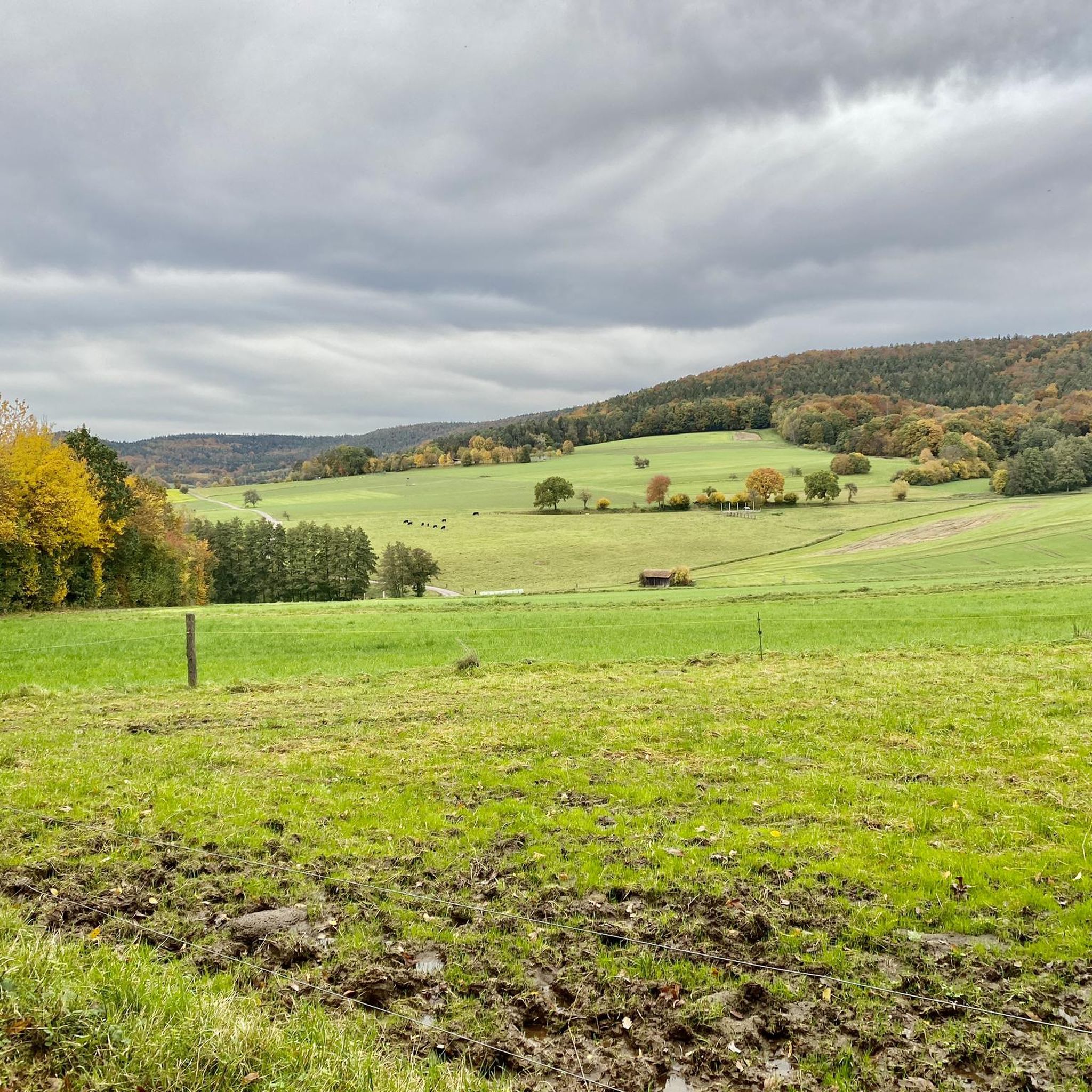
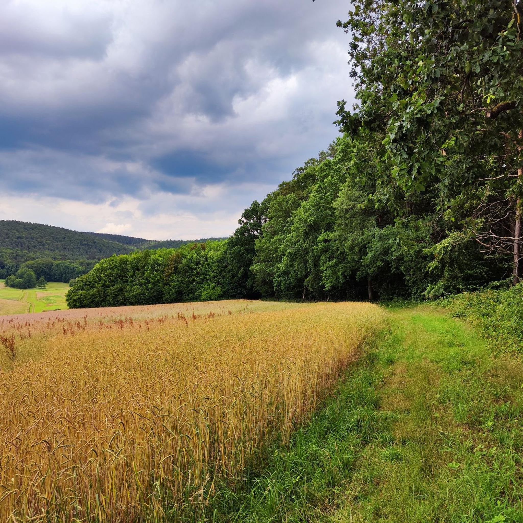
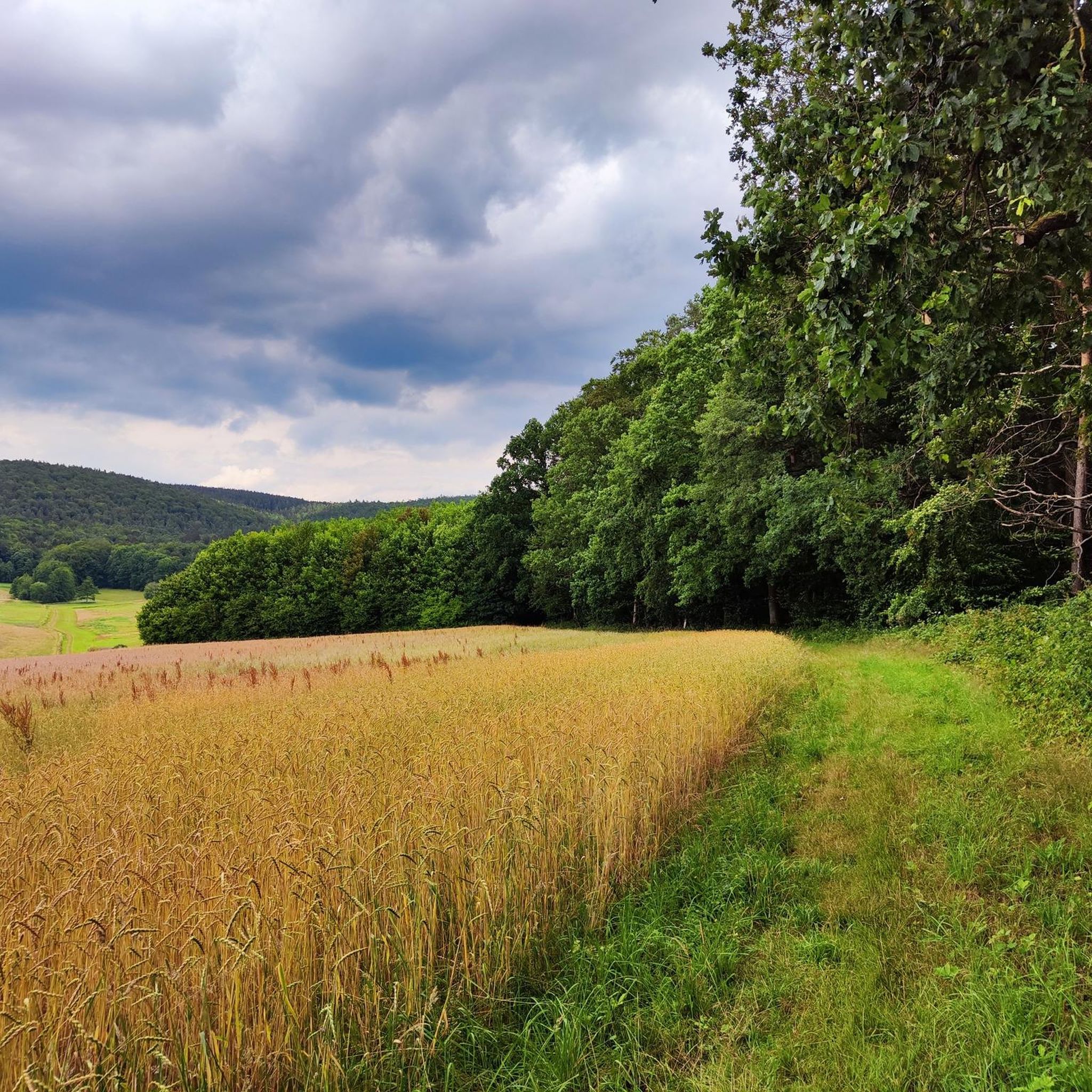
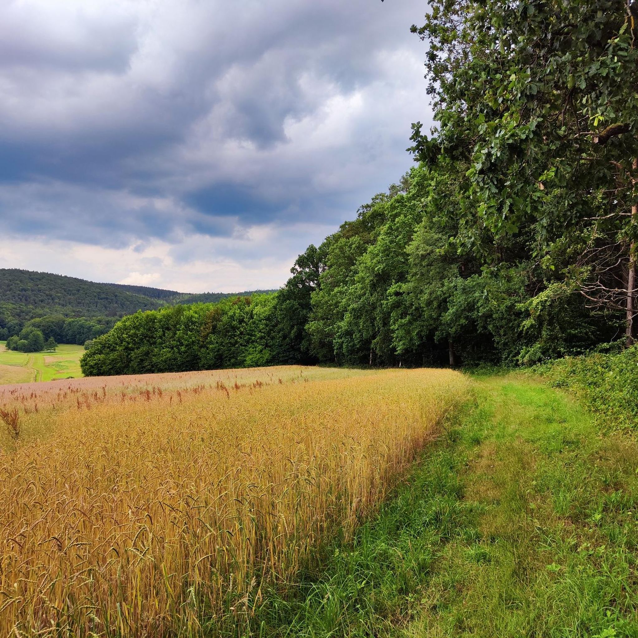
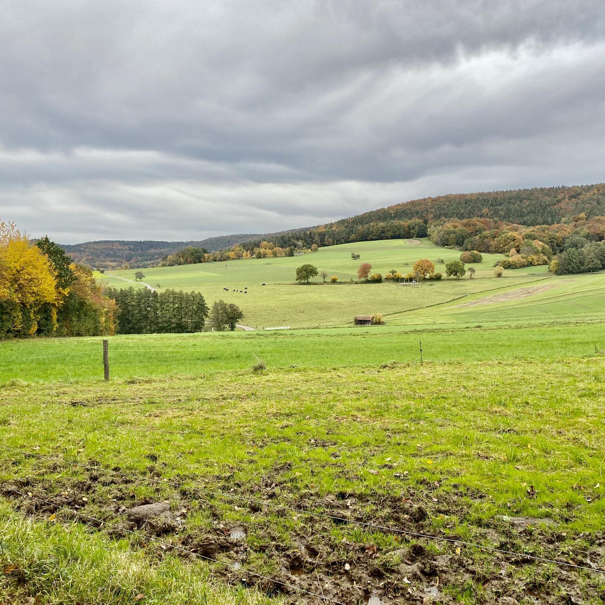
And yet quite easy to reach, pure nature included.
14
0

The Erkelshöhe (historically: Mertel) is a 517 m above sea level. NHN high mountain in the Spessart in the Bavarian district of Aschaffenburg and in the Hessian Main-Kinzig district in Germany. The Erkelshöhe lies between the towns of Wiesen and Flörsbach. The state border runs across the summit between the municipality of Flörsbachtal (Hesse) and the unincorporated area of Wiesener Forst (Bavaria). In the southeast, the Erkelshöhe goes flat to the Sauberg (454 m). Both mountains belong to the Sailhöhe ridge stretching towards Wiesthal. West of the summit, about a kilometer away, is the village of Wiesen im Aubachtal; on the south-eastern slopes is the town of Mosborn on the upper reaches of the Laubersbach. North of the mountain are the Wiesbüttsee and the Wiesbüttmoor. The Franconian Marienweg leads over the Erkelshöhe. Source: Wikipedia
3
0

Things continue in a few directions here. Nice break area with plenty of seating.
28
0

Great forest area on the Schöllkrippen 2 cultural trail
2
0
웨스턴그룬드 주변에서 가장 인기 있는 명소


더 살펴보기
이 가이드를 통해 웨스턴그룬드 주변의 더 놀라운 정상들을 확인해보세요:
