사이다에서 가장 멋진 18개의 산 정상
사이다의 산 정상에 오르면 이 지역의 아름다운 모습을 제대로 구경할 수 있어요. 다만, 18
곳이나 되는 산 정상 중에서 어떤 곳을 가야 할 지 고민된다는 게 문제죠. 사이다에서 가장 멋진 산 정상을 살펴본 후에 마음에 드는 산 정상을 다음 모험 계획에 추가해보세요.
마지막 업데이트: 9월 27, 2026
슈바르텐베르크 정상 및 슈바르텐베르크 산장
하이라이트 • 정상
번역자 Google •
팁에 의해

Steinkuppe 정상
하이라이트 • 정상
The summit even has a summit book and is well looked after by the local association.
번역자 Google •
팁에 의해

이런 장소를 발견하려면 지금 가입하세요
최고의 싱글 트랙, 봉우리 및 다양한 흥미로운 야외 장소에 대한 추천을 받아보세요.
부르크베르크 정상 십자가 (622m)
하이라이트 • 정상
번역자 Google •
팁에 의해

Kannelberg의 Drachenkopf 삼각측량소
하이라이트 • 기념물
번역자 Google •
팁에 의해
무료로 가입하여 사이다 주변의 더 많은 봉우리를 발견하세요.
이미 komoot 계정이 있나요?
오늘 무료 계정으로 시작하세요
다음 모험이 기다리고 있어요.
사이다 주변 인기 장소

Hiking with heart in the Ore Mountains

Pure road and gravel riding joy through Saxony
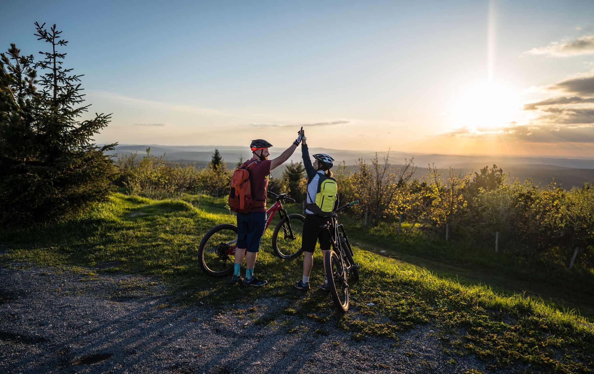
Flying high on two wheels – bike holidays in the Ore Mountains

역사가 자연을 만나다 – 에르츠게비르게-포그틀란트 산악 등산로
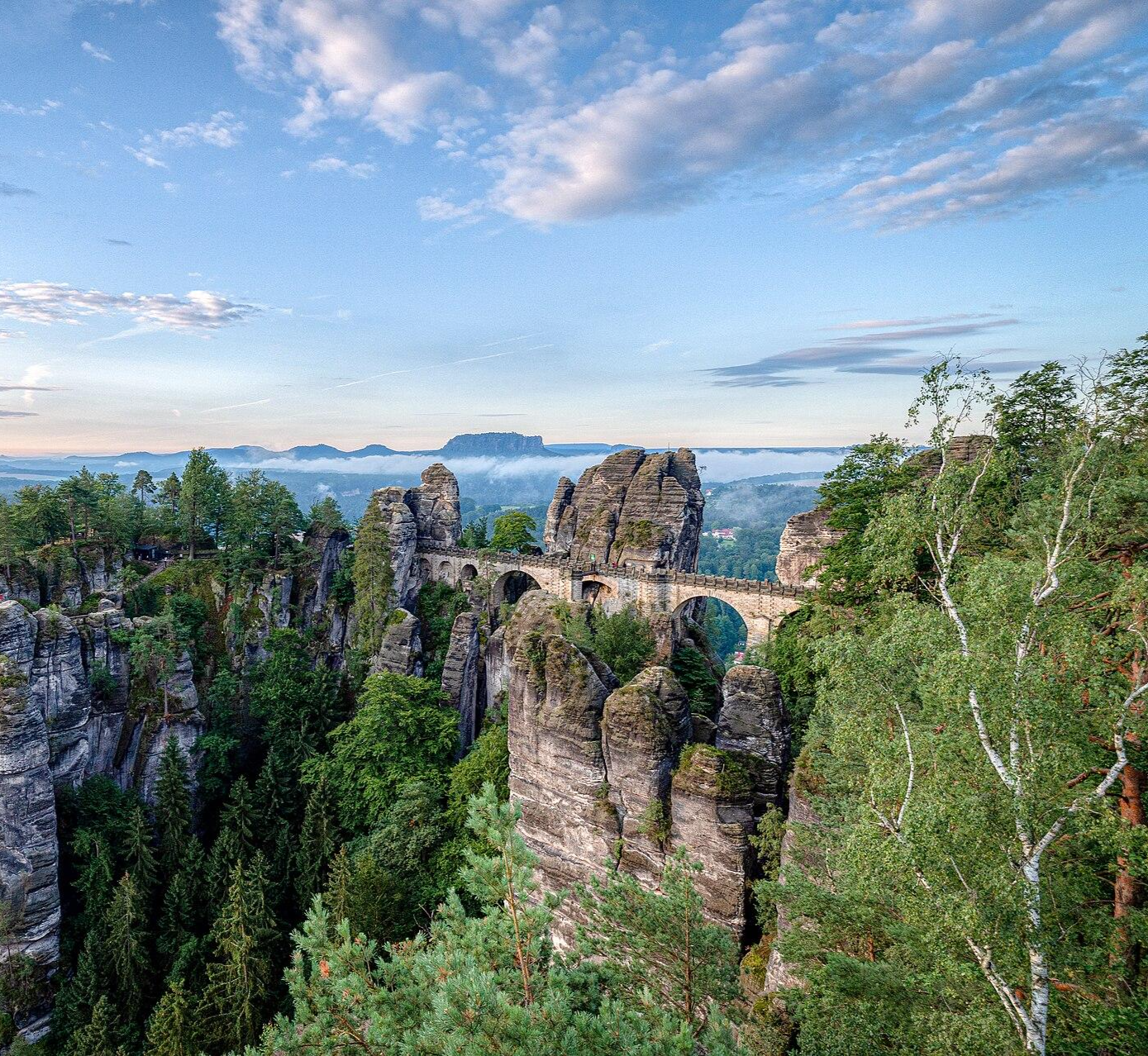
Zwei Tage raus! – Wander-Micro-Adventures in Sachsen
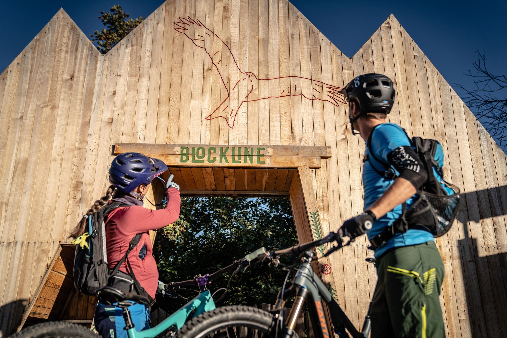
BLOCKLINE – Dein Bike-Abenteuer im Erzgebirge
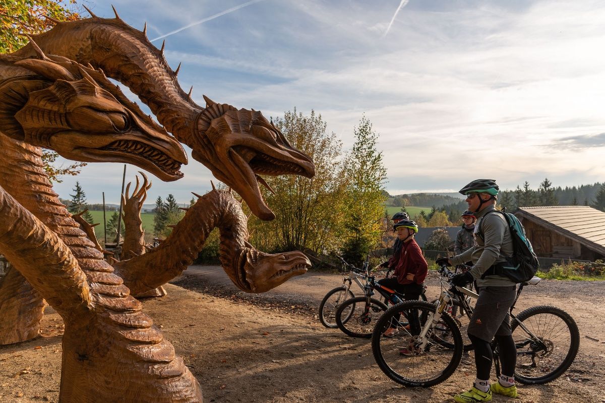
BLOCKLINE-Gesamtstrecke in 5 Tagen – Bike-Urlaub im Erzgebirge
사이다 하이킹
사이다 로드 사이클링 경로
사이다 사이클링
사이다 주변의 다른 모험


커뮤니티 팁

In 2022, two Lichtenberg natives, Jörg and Sven, had a special idea: they wanted to revive an old local legend – the legend of the "Light on the Mountain." This tale, passed down from generation to generation for centuries, was deeply intertwined with the history of Lichtenberg and its surroundings. Inspired by this somber legend, Jörg and Sven decided to create a symbol of hope and light. They planned to erect a new summit cross on the mountain that would glow at night, just like the light in the windows of the old legend. But this light would no longer spread fear, but rather inspire hope. Two chimes are also mounted in the center of the cross, which, played by the wind, carry peaceful sounds down into the valley. Opposite the cross is a new selfie stand, perfect for taking a selfie.
6
0

"The Royal Saxon Triangulation (here with its historical name) is a national survey carried out in the years 1862 to 1890 on the territory of the Kingdom of Saxony with the simultaneous creation of a trigonometric network. The aim was to record the territory of the state in a scientifically and geodetically precise manner and to create the basis for the production of precise maps by establishing permanently marketed fixed points." - https://de.wikipedia.org/wiki/K%C3%B6niglich-S%C3%A4chsische_Triangulirung The triangulation network created by August Nagel was considered one of the most precise surveying networks in the world at the time. The Nagel columns are now preserved as technical monuments. Unfortunately, no other stations can be seen from the Kannelberg, but the mountain can be seen from other stations. For example, Sandberg in Frauenstein, Opitzhöhe above Freital, Neuklingenberger Höhe, etc.
1
0

We are from Rehefeld on the winter toboggan run to the Hemmschuh, then along the railway embankment to the Teichhaus, on the other side of the street along the Freiberger Mulde and steeply uphill via Dreidellenweg to the Drachenkopf 👍🤩 Departure then to the Teichhaus and again steeply uphill to the Steinkuppe with the summit cross 👍🤗E MTB or E trekking bike required☝️😄
1
0

The Steinkuppe is one of the 8000s in the area around Rechenberg-Bienenmühle 😆... measured in decimeters, of course
1
0

A bit unexpected, but in the end somehow cool again.
0
0


A steep ascent from Neuhaus to the Schwartenberg with a great view and 🍻🤣👍 . There is definitely a Bauden feeling here.
20
0
사이다 주변에서 가장 인기 있는 명소


더 살펴보기
이 가이드를 통해 사이다 주변의 더 놀라운 정상들을 확인해보세요:
