슐리엔겐에서 가장 멋진 20개의 산 정상
슐리엔겐의 산 정상에 오르면 이 지역의 아름다운 모습을 제대로 구경할 수 있어요. 다만, 20
곳이나 되는 산 정상 중에서 어떤 곳을 가야 할 지 고민된다는 게 문제죠. 슐리엔겐에서 가장 멋진 산 정상을 살펴본 후에 마음에 드는 산 정상을 다음 모험 계획에 추가해보세요.
마지막 업데이트: 10월 11, 2026
알름가스트슈테테 켈벨레슈어
하이라이트 • 산장
번역문 보기
팁에 의해

호흐블라우엔 정상과 전망대
하이라이트 • 정상
번역자 Google •
팁에 의해

이런 장소를 발견하려면 지금 가입하세요
최고의 싱글 트랙, 봉우리 및 다양한 흥미로운 야외 장소에 대한 추천을 받아보세요.


크로이츠베크 고개 정상
하이라이트 • 산악 고개
번역자 Google •
팁에 의해

무료로 가입하여 슐리엔겐 주변의 더 많은 봉우리를 발견하세요.
이미 komoot 계정이 있나요?
오늘 무료 계정으로 시작하세요
다음 모험이 기다리고 있어요.

커뮤니티 팁

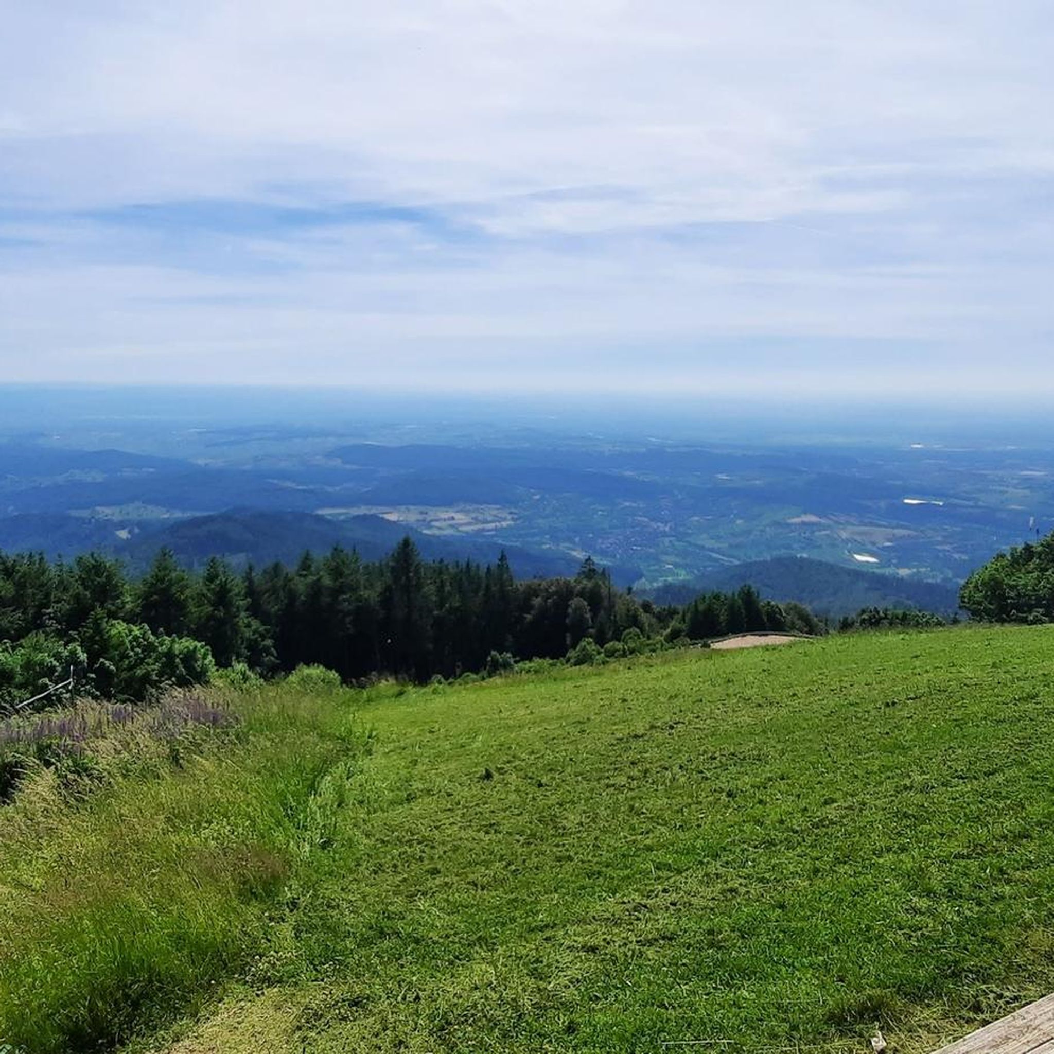
Almgaststätte Kälbelescheuer는 하이커와 자전거 이용객 모두에게 인기 있는 휴식처이며 자동차로도 접근할 수 있습니다. 햇살이 비치는 테라스에서는 라인 계곡에서 엘자스의 보주 산맥까지 인상적인 전망을 즐길 수 있습니다. 아늑한 산장에서 전통적인 슈바르츠발트 특선 요리와 커피, 케이크를 맛볼 수 있습니다. 고풍스러운 식당에서든 맥주 정원에서든 이곳에서 멋진 전망과 함께 즐거운 휴식을 취할 수 있습니다. 더 많은 정보는 https://www.muenstertal-staufen.de/Media/Gastronomie/Almgaststaette-Kaelbelescheuer#/ 에서 확인할 수 있습니다.
1
0

Once you reach the top of the pass - no matter which side - it's worth taking a break to enjoy the view 😎
2
0

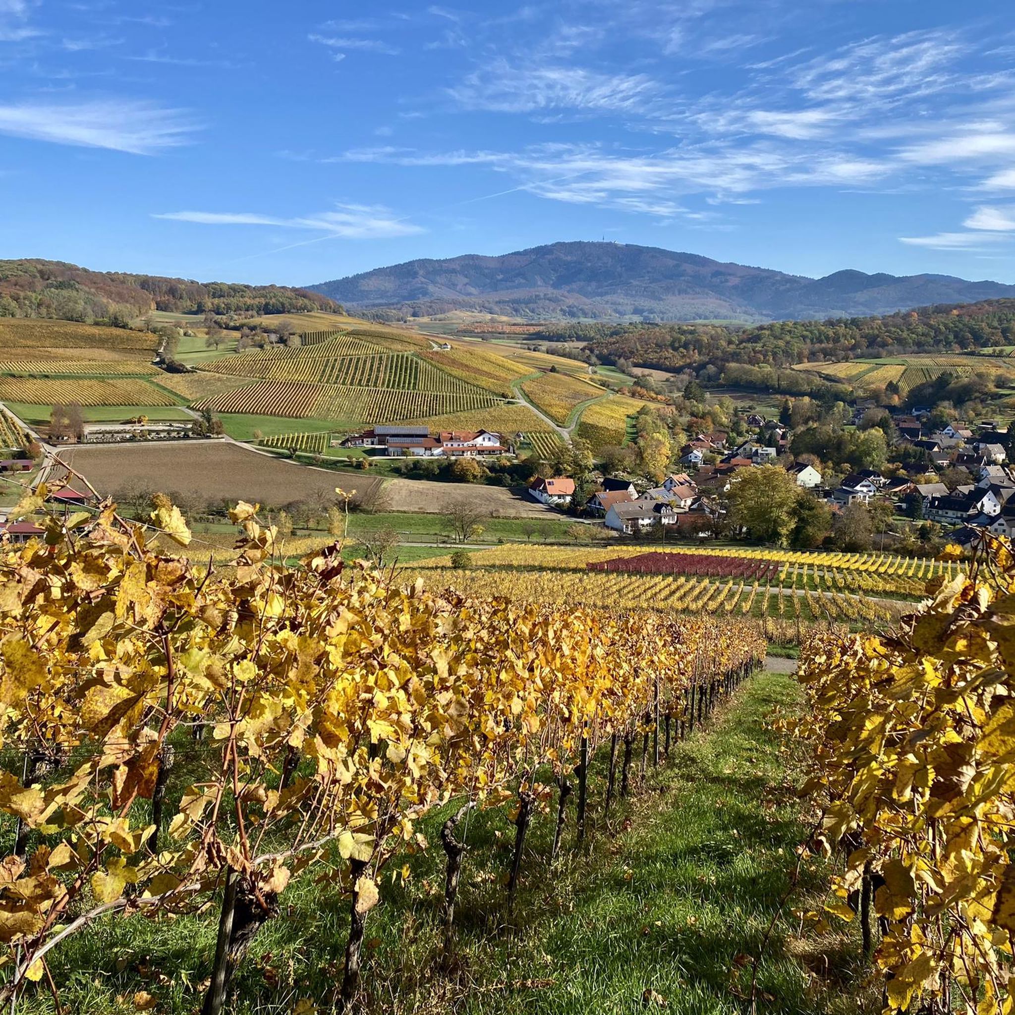
The ascent over the Sirnitz with the Kreuzweg pass height is an absolutely recommendable section, both from the west of Badenweiler and from the east of Neuenweg or also from the small Münstertal to the north, which is ideal for every Black Forest tour. Currently (02/23) the route from Badenweiler to Neuenweg is in top condition, all construction sites have been completed. Half of the descent down to the Münstertal is very old, if possible plan it as an ascent rather than a descent.
2
0

Meanwhile (Nov. 2022) the lower section of the ascent from Badenweiler to the Eselsweg has also been resurfaced, so nothing is missing from the true RR dream road. Absolute recommendation!
2
0

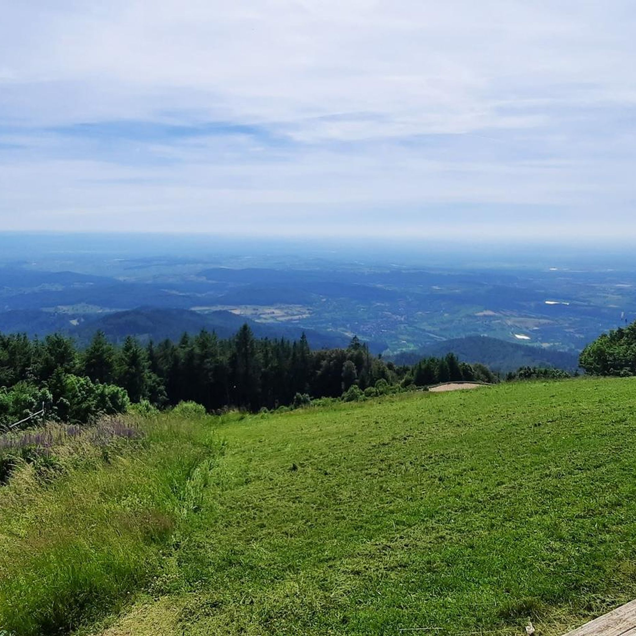
Fantastic views of the Black Forest, Jura, Alps, Vosges and the Rhine plain.
9
0

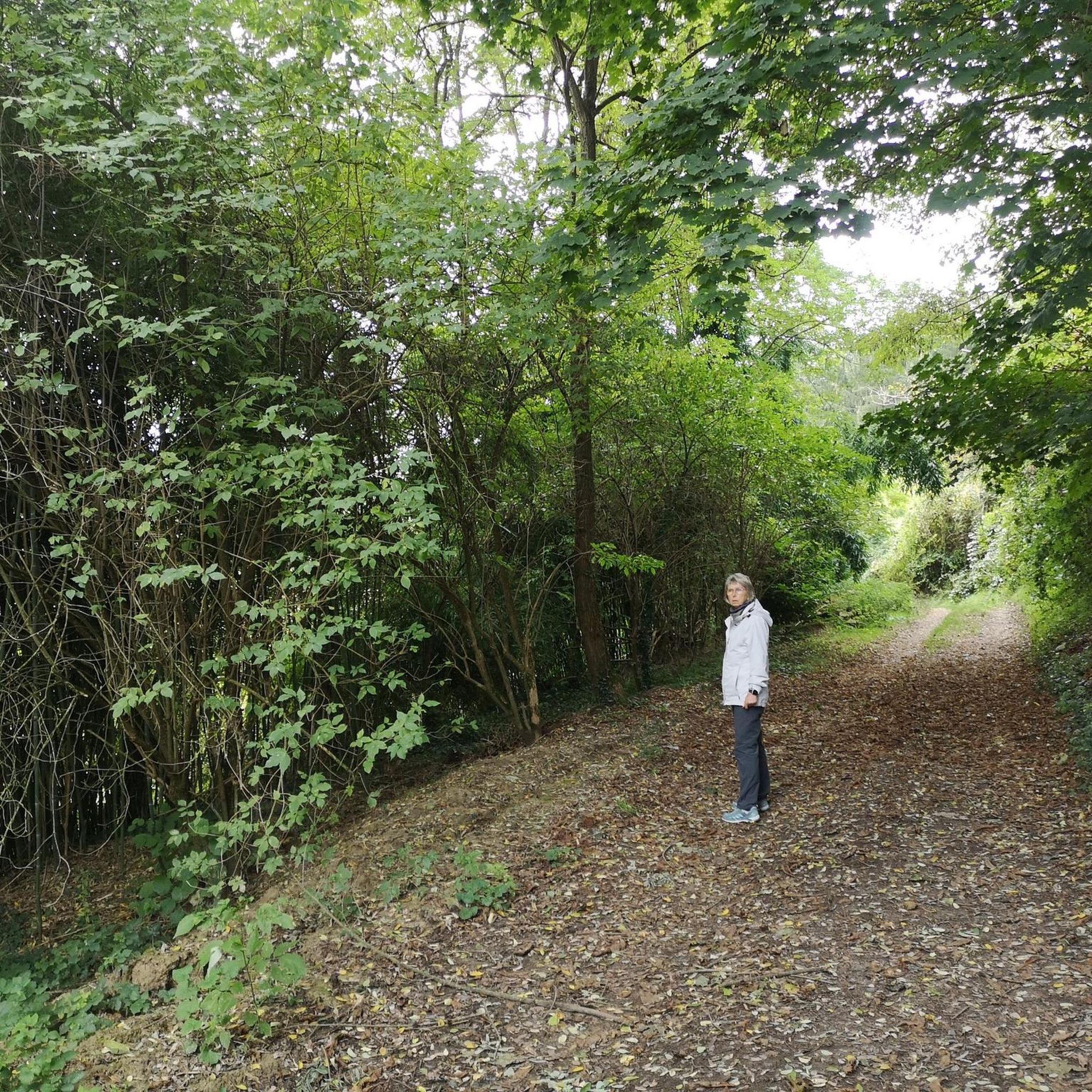
Getting up is not that easy - it has to be fighting "through the jungle"! So I was all the more astonished to even meet someone upstairs 😁 Once at the top you can clearly see the moat that runs around the hill. Various round "buildings" are to be found on the core. If you google you will find out that during the last war the Hitler youth observed planes from the airplanes. Since there are also older sketches with the climes, at least some of them seem to have existed before the war 😮
3
0

From the tower you have a breathtaking view.
9
0

For the racing cyclist there are several variants - from Badenweiler, from the Münstertal or from Schönau, a variant that meets the driveway from the Münstertal before the last bends at Gasthof Haldenhof. Even if it is rather unknown, Sirnitz is definitely one of the "musts" in the southern Black Forest. From Badenweiler or the Münstertal there are at least> 700 meters of altitude to be conquered. At the top of the hill there is a beautiful view of the Black Forest Mountain.
1
0
슐리엔겐 주변에서 가장 인기 있는 명소


더 살펴보기
이 가이드를 통해 슐리엔겐 주변의 더 놀라운 정상들을 확인해보세요:
