마울버그에서 가장 멋진 7개의 산 정상
마울버그의 산 정상에 오르면 이 지역의 아름다운 모습을 제대로 구경할 수 있어요. 다만, 7
곳이나 되는 산 정상 중에서 어떤 곳을 가야 할 지 고민된다는 게 문제죠. 마울버그에서 가장 멋진 산 정상을 살펴본 후에 마음에 드는 산 정상을 다음 모험 계획에 추가해보세요.
마지막 업데이트: 8월 30, 2026


이런 장소를 발견하려면 지금 가입하세요
최고의 싱글 트랙, 봉우리 및 다양한 흥미로운 야외 장소에 대한 추천을 받아보세요.
무료 회원 가입
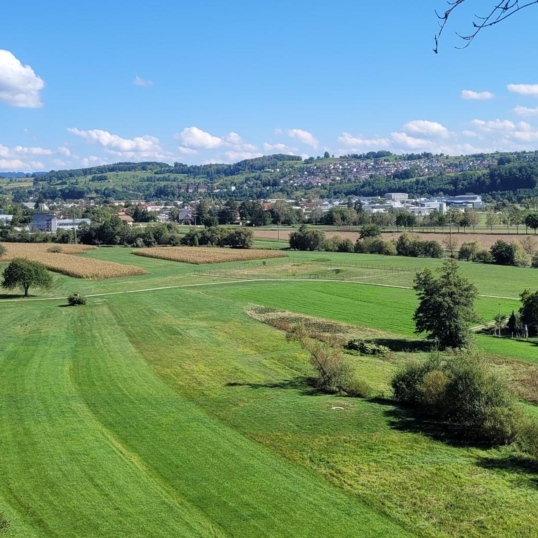
Eigenturm 전망탑
하이라이트 • 전망대
번역자 Google •
팁에 의해

첼러 블라우엔 정상
하이라이트 • 정상
번역자 Google •
팁에 의해

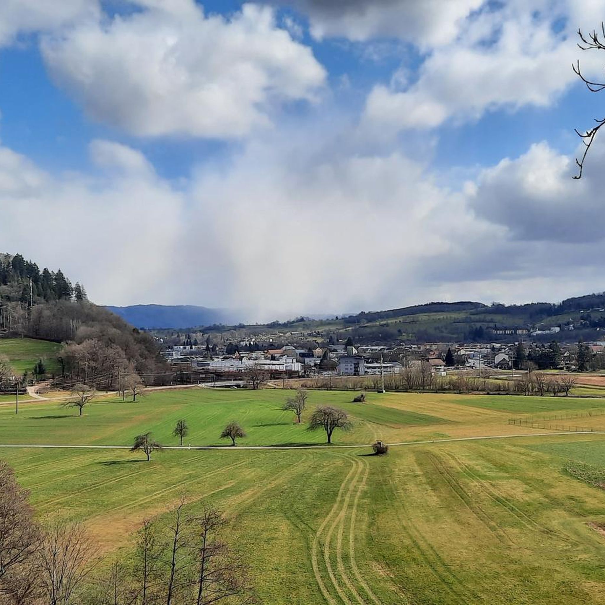
첼 임 비젠탈의 전경
하이라이트 • 전망대
번역자 Google •
팁에 의해

무료로 가입하여 마울버그 주변의 더 많은 봉우리를 발견하세요.
무료 회원 가입
이미 komoot 계정이 있나요?
오늘 무료 계정으로 시작하세요
다음 모험이 기다리고 있어요.
로그인 또는 가입하기

커뮤니티 팁

The Hohe-Flum Tower stands on the highest point of the Dinkelberg, at 535 meters above sea level. The 13.5-meter-high tower was built in 1874. Sixty-two steps lead up to the platform. From there, one has a magnificent panoramic view in all directions. To the south, one can see the Swiss Jura plateau and, in good weather, the Alps beyond. To the west, the view extends to the Vosges Mountains, and to the north and east, to the Black Forest. The Entegast, Zeller Blauen, Hohe Möhr, and other peaks are also visible.
5
0

A quiet summit. However, it's wooded and visibility isn't great.
4
0


Enjoy wonderful sunsets in harmony with nature
0
0

The view is great. I cycled from Schopfheim over the Rührberg to the Eigenturm. I published a video of the tour on my YouTube channel.
5
0

The summit is evidently becoming increasingly lighter, there is already a swath towards Gresgen that promises a view. I thought today how nice it would be if the radio mast would also act as a lookout tower. After all, the mast is already visible from afar and could fulfill this secondary function wonderfully 😊
2
0

Ok, the view is not really there at the summit cross itself. You definitely don't see Zell. When you leave the summit in the direction of Raich, it looks different. There is a pure Black Forest panorama
0
0
마울버그 주변에서 가장 인기 있는 명소


더 살펴보기
이 가이드를 통해 마울버그 주변의 더 놀라운 정상들을 확인해보세요:
