윌다우에서 가장 멋진 6개의 산 정상
윌다우의 산 정상에 오르면 이 지역의 아름다운 모습을 제대로 구경할 수 있어요. 다만, 6
곳이나 되는 산 정상 중에서 어떤 곳을 가야 할 지 고민된다는 게 문제죠. 윌다우에서 가장 멋진 산 정상을 살펴본 후에 마음에 드는 산 정상을 다음 모험 계획에 추가해보세요.
마지막 업데이트: 10월 11, 2026
그로서 뮈겔베르크 – 베를린에서 가장 높은 자연 지점
하이라이트 • 정상
번역자 Google •
팁에 의해


이런 장소를 발견하려면 지금 가입하세요
최고의 싱글 트랙, 봉우리 및 다양한 흥미로운 야외 장소에 대한 추천을 받아보세요.
베를린에서 가장 높은 산(뮈겔베르크)으로 가는 등산로
하이라이트 • 트레일
번역자 Google •
팁에 의해


디펜제 근처 와인베르크
하이라이트 • 정상
번역자 Google •
팁에 의해

무료로 가입하여 윌다우 주변의 더 많은 봉우리를 발견하세요.
이미 komoot 계정이 있나요?
오늘 무료 계정으로 시작하세요
다음 모험이 기다리고 있어요.


커뮤니티 팁

Adventurous hiking trails. In autumn, the forest and its paths glow golden yellow and copper. Beautiful.
0
1

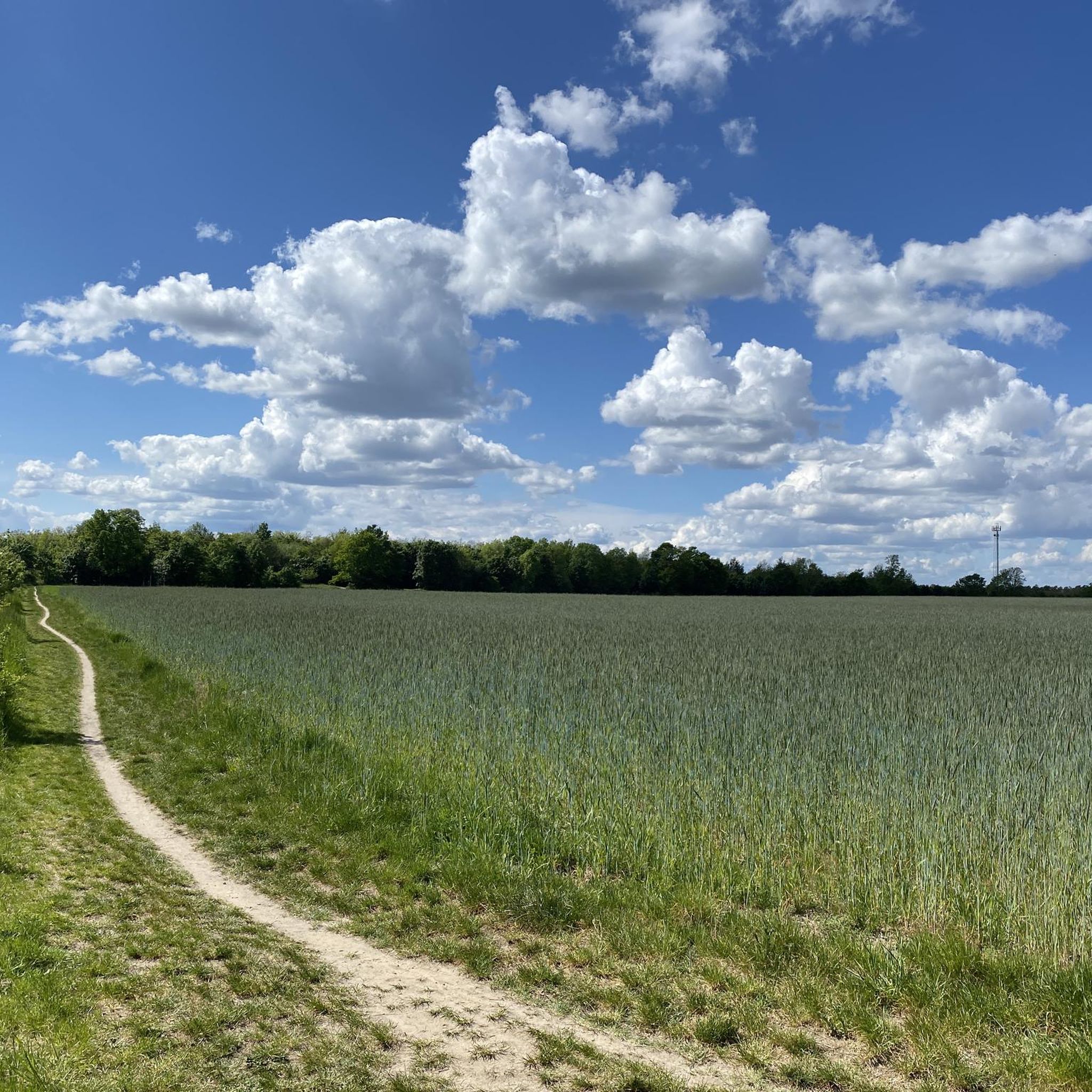
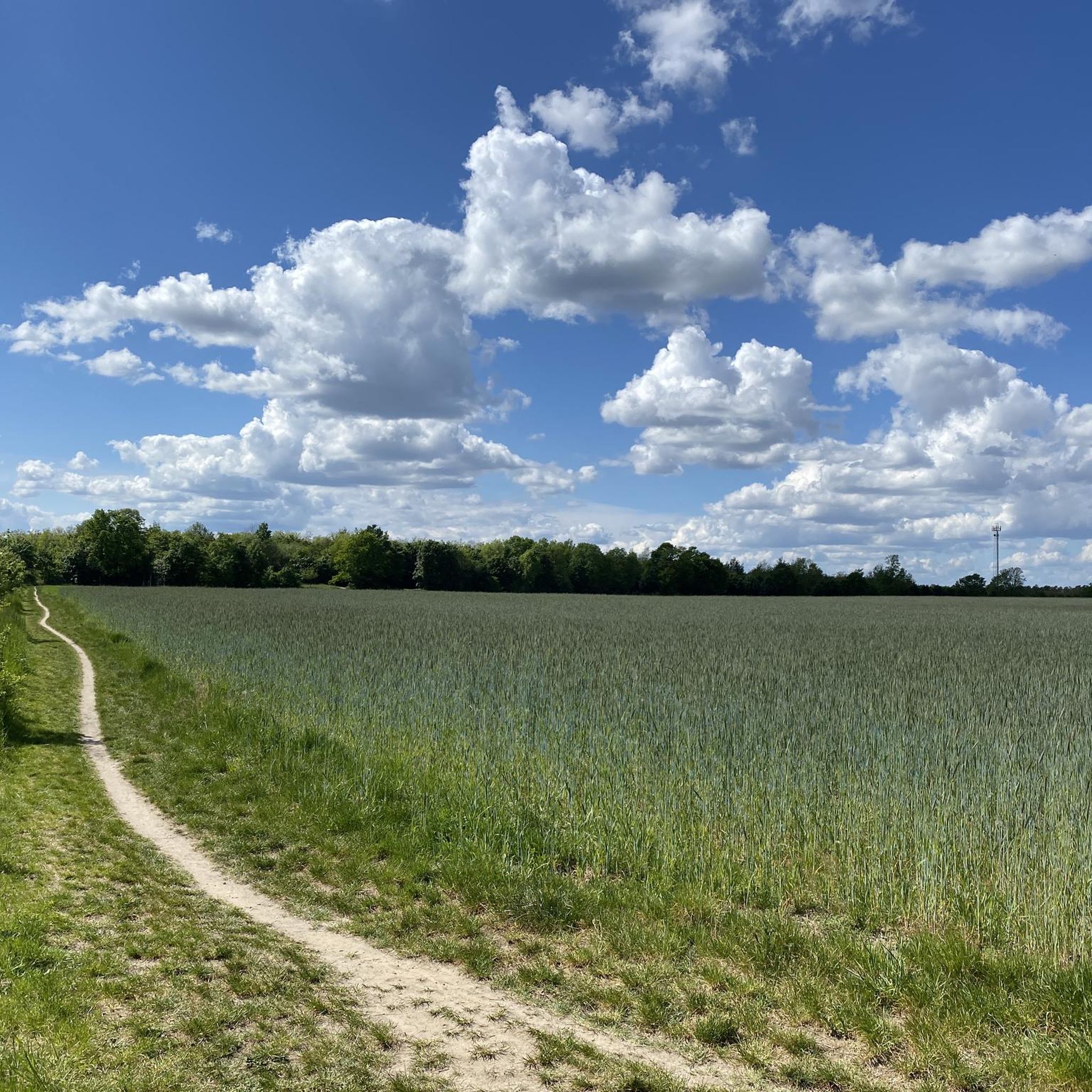
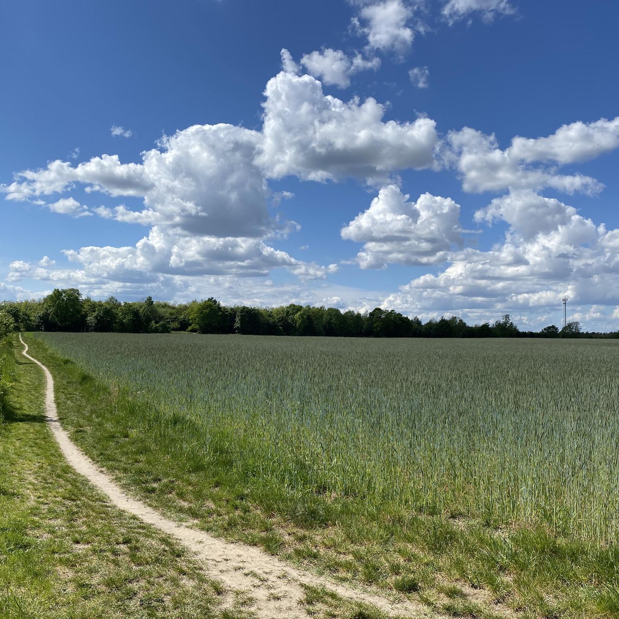
The Weinberg is a 53 m above sea level elevation in Deutsch Wusterhausen, a district of the town of Königs Wusterhausen in the Dahme-Spreewald district in Brandenburg. The elevation is located north of the district and south of the other district of Diepensee. There are a total of four elevations in the area, three of which are named. To the west is the Weinberg, which is 53.6 m above sea level, to the north is an unnamed area 45.7 m above sea level, followed by the Hortenberg, which is 51.3 m above sea level, and the Pennigsberg, which is 48.3 m above sea level, in the east. Source: https://de.wikipedia.org/wiki/Weinberg_(K%C3%B6nigs_Wusterhausen)
1
0

One of the only hills around the area. There are a couple of off road paths to go up. Suitable for a little altitude training
0
0

Here you can really criss-cross. But be careful not to get run over by a mountain biker.
3
0


If you want to climb the Top-of-Germany 16-Summits, you cannot avoid the Großer Müggelberg. Ultimately, as part of this challenge, it is important to climb the highest elevation of all 16 federal states and the Müggelberg is the highest natural elevation in Berlin. Logically, high alpine terrain is not to be expected, but you can approach the summit on different paths and from different sides and it can be a bit steeper in the middle of Berlin. The summit itself is located in the middle of the forest and offers no view as the trees around it are too high. But there is a summit cross that shows the correct position. If you are looking for a view, you have to go to and on the nearby, reopened Müggelturm. A worthwhile detour from the summit leads to the foot of the Müggelberg. The path is lined with numerous information boards and when you arrive at the bottom you can visit the Teufelsmoor on safe wooden walkways and keep an eye out for the animals and insects that live there.
10
1

Very beautiful here. We recommend.
1
3

The climb is worth it. The view over the forest to Berlin is very interesting.
6
0


