발데그에서 가장 멋진 20개의 산 정상
발데그의 산 정상에 오르면 이 지역의 아름다운 모습을 제대로 구경할 수 있어요. 다만, 20
곳이나 되는 산 정상 중에서 어떤 곳을 가야 할 지 고민된다는 게 문제죠. 발데그에서 가장 멋진 산 정상을 살펴본 후에 마음에 드는 산 정상을 다음 모험 계획에 추가해보세요.
마지막 업데이트: 8월 31, 2026

가이스타인 정상 십자가
하이라이트 • 정상
번역자 Google •
팁에 의해

이런 장소를 발견하려면 지금 가입하세요
최고의 싱글 트랙, 봉우리 및 다양한 흥미로운 야외 장소에 대한 추천을 받아보세요.
무료 회원 가입
Hohe Mandling 정상 쉼터
하이라이트 • 정상
번역자 Google •
팁에 의해


그로세 칸첼 정상 십자가
하이라이트 • 정상
번역자 Google •
팁에 의해
무료로 가입하여 발데그 주변의 더 많은 봉우리를 발견하세요.
무료 회원 가입
이미 komoot 계정이 있나요?
오늘 무료 계정으로 시작하세요
다음 모험이 기다리고 있어요.
로그인 또는 가입하기
커뮤니티 팁

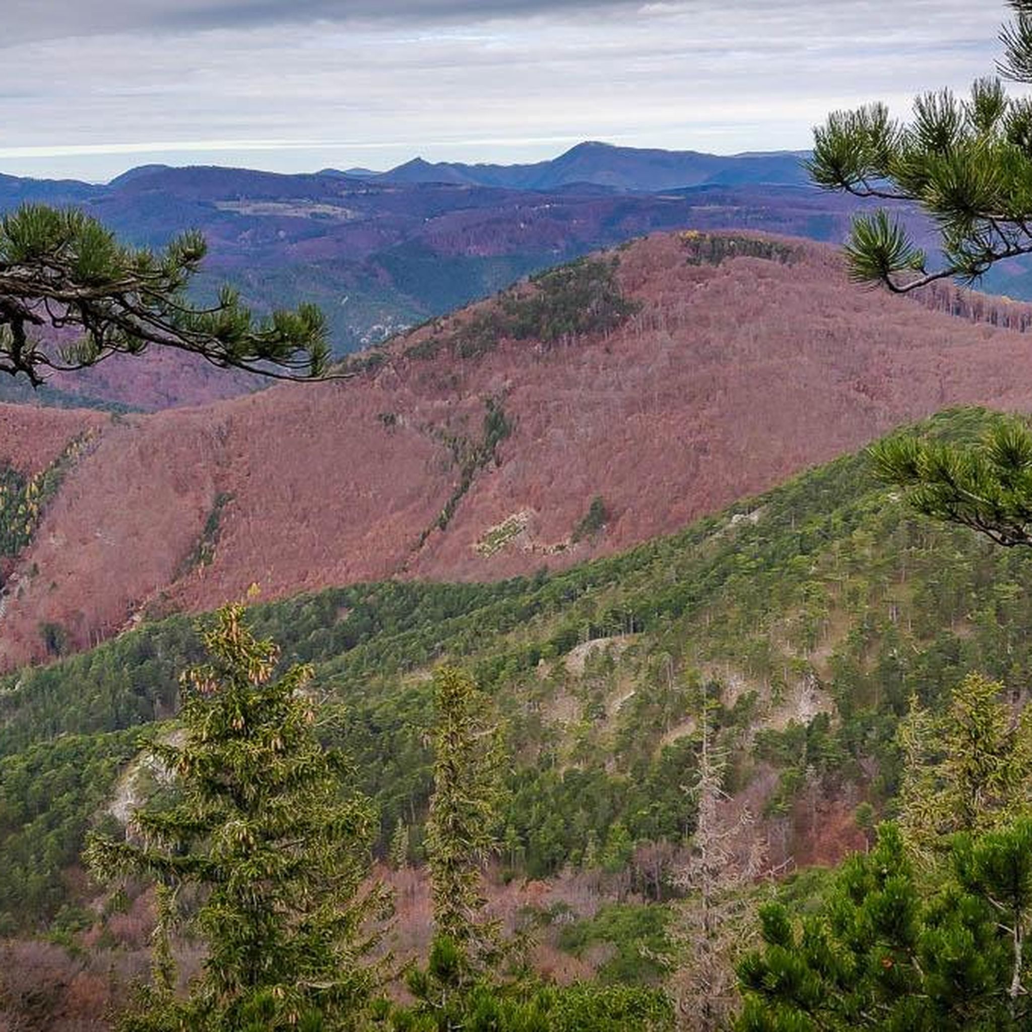
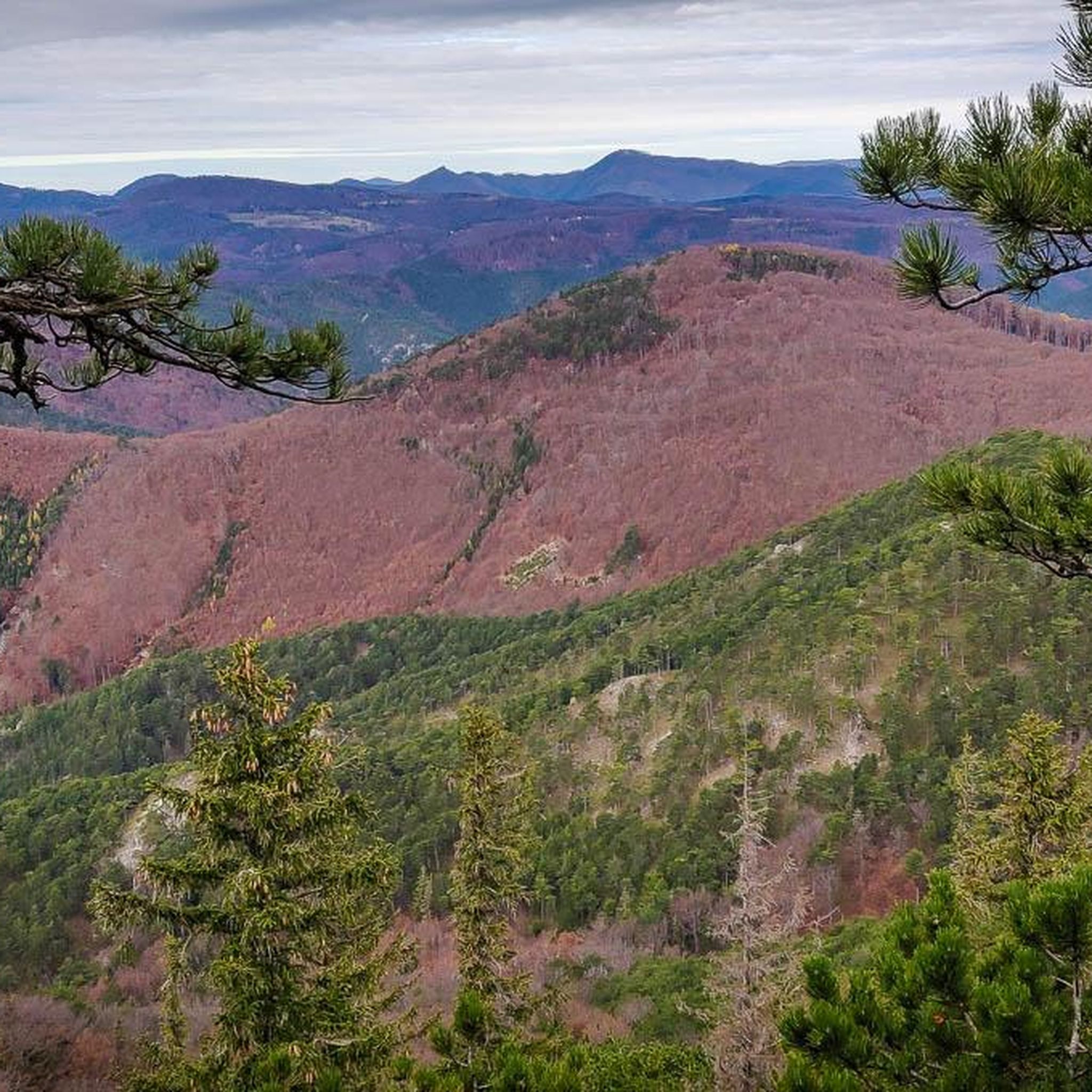
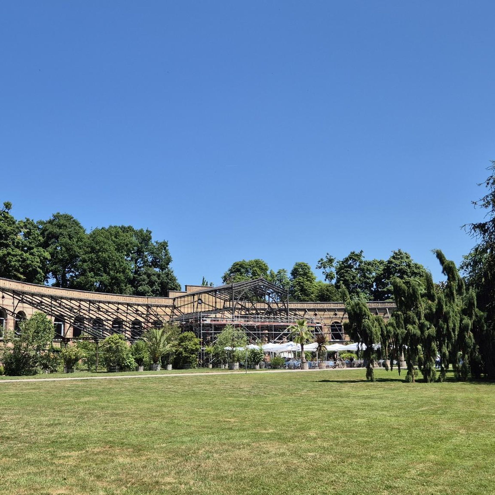
호헨 만들링 정상 바로 옆의 조용한 휴식 장소입니다. 이 좌석 공간은 등반 후 휴식을 취하기에 이상적입니다. 정상은 대부분 숲에 둘러싸여 있어 전망은 제한적이지만, 장소는 쾌적하고 외딴 느낌을 줍니다.
4
0
하우스슈타인(668m)은 무겐도르프 주변에서 가장 눈에 띄는 전망 봉우리 중 하나로, 밝은 석회암 절벽이 인상적입니다. 정상의 십자가에서는 피슈팅 계곡과 주변 구텐슈타인 알프스의 탁 트인 전망을 감상할 수 있습니다. 다양하고 변화무쌍한 오르막길과 탁 트인 전망을 자랑하는 정상 고원은 하우스슈타인을 인기 있는 하이킹 명소로 만듭니다. ⛰️🌄
4
0
The Johannesbach Gorge, approximately 1 km long and up to 60 m deep, on the western edge of Würflach is a true natural gem and a popular destination – especially on hot summer days. The well-maintained trail, with numerous wooden walkways, steps, and bridges, leads through a wildly romantic gorge carved into the Wetterstein limestone by the Johannesbach stream over millennia. Along the way, you'll discover deep potholes, bowl-shaped depressions ("mills"), and, with a little attention, geological features such as the "Marientritt" (Marientritt). Two small caves – the Johannesbach Gorge Cave and the Klammwirt Cave – complete the experience. With a walk time of approximately 30 minutes, the gorge is also ideal for families with children. Those who like can dip their feet in the cool water or stop off at the Klammwirtin restaurant. The gorge is particularly atmospheric during the Advent market, when Austria's largest decorated Christmas tree is illuminated. If you want more, you can combine the gorge with hikes to the Schrattenstein castle ruins, along the Andreassteig or towards Grünbach.
6
0
The "Great Pulpit" on the Hohe Wand is an absolute highlight and a must for every visitor. It offers a breathtaking view and is a popular meeting place for hikers, climbers and nature lovers. The imposing summit cross towers over the landscape and gives the place a special atmosphere - particularly impressive with dark clouds in the background. Various routes lead up, including the Springlessteig and the Wagnersteig. Whether for a well-deserved rest, a good meal on the sunny terrace or just to unwind - you should take your time up here to enjoy the view to the fullest.
4
0

With a 30 minute walk, the trip is especially great for families with children, unfortunately almost no water
6
0

The Johannesbach Gorge, which is around 60 m deep and around 1000 m long, lies entirely in the Wetterstein limestone. It lies like a barrier across the course of the Johannesbach and at the same time separates the softer rocks of the Werfen layers of the Schrattenbach hills to the west from the large gravel areas of the Rohrbach conglomerate in the Steinfeld to the east. The predecessor of the Johannesbach once had to break through the Wetterstein limestone barrier. A tectonic furrow and the rainy climate of the post-glacial period helped it: it carried a lot of water, which in turn moved enormous amounts of rock and eroded the subsoil of the stream. Over thousands of years, the tectonic line was deepened and the stream bed sunk. Many potholes on the steep slopes of the gorge and mills in the subsoil - including the "Marientritt" - testify to the power of the early Johannesbach. Source: www.wuerflach.at/index.php?option=com_content&view=category&id=34&Itemid=37
28
2
The Johannesbachklamm is a popular excursion destination on the western edge of Würflach and only an hour from Vienna. On the way through the gorge, which is just over a kilometer long, visitors experience a small natural paradise that is pleasantly cool even on hot days. And if you look closely, you can see from the rock walls that are up to 60 meters deep how the Johannesbach has dug itself into the Wetterstein limestone over thousands of years. With a walking time of 30 minutes, the excursion is particularly great for families with children. This is also due to the many stairs and bridges that make the path so entertaining. If you want, you can leave the wooden footbridge in some places and cool your feet in the Johannesbachbach. You can also take a good rest at the KlammWirtin at the entrance to the gorge. By the way: If you like to walk for longer, you can turn the walk through the Johannesbachklamm into a hike. Or you can admire the "largest decorated Christmas tree in Austria" in the Johannesbachklamm during Advent. Source: www.niederoesterreich.at/ausflugsziel/a-johannesbachklamm-wuerflach
29
2

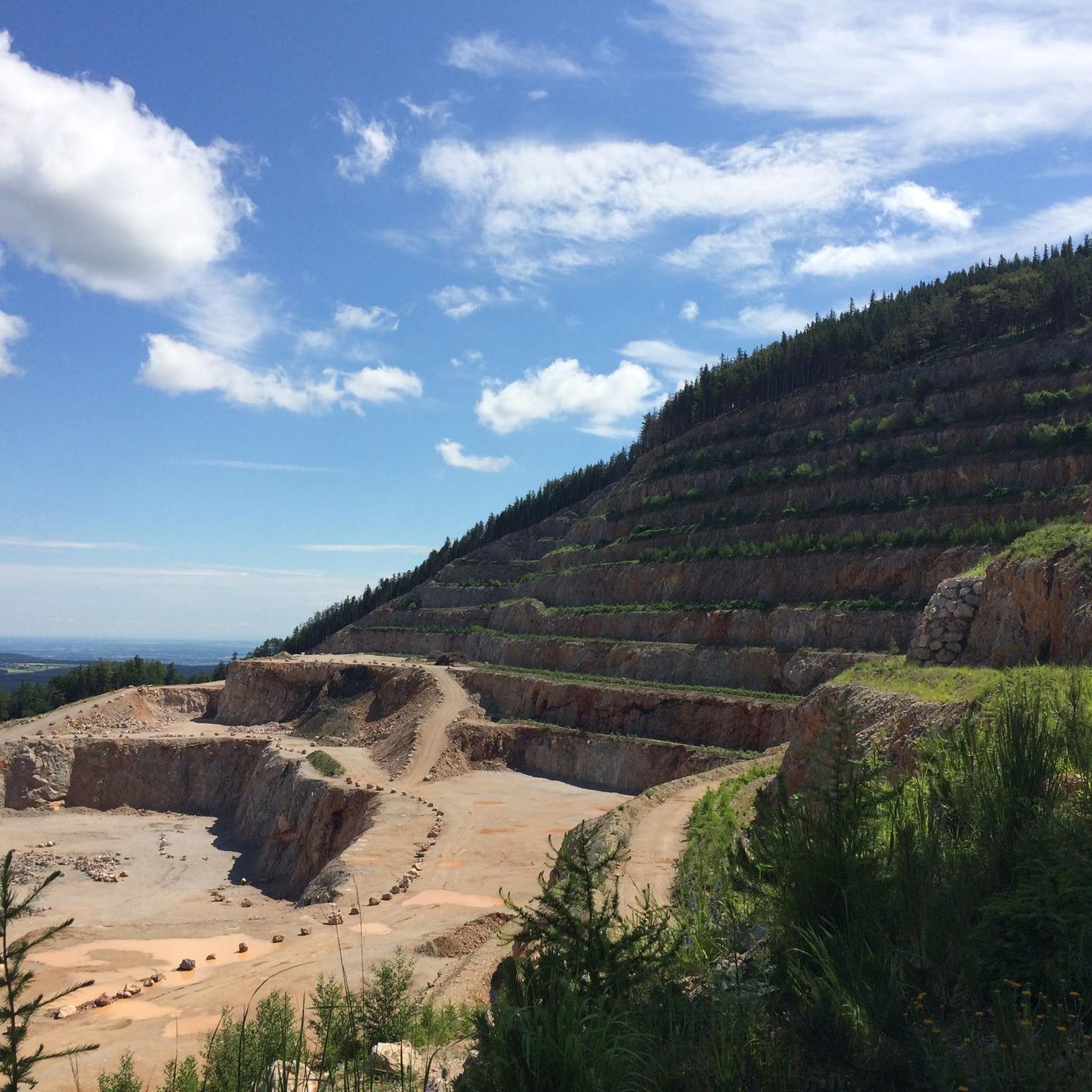
The Gaisstein is not easy to climb, it goes steeply uphill through rough terrain and the path is not always easy to spot. BUT: The view at the top makes up for all the effort - you can enjoy a wonderful all-round view.
0
0


더 살펴보기
이 가이드를 통해 발데그 주변의 더 놀라운 정상들을 확인해보세요:
