용케 구함에서 가장 멋진 20개의 산 정상
용케 구함의 산 정상에 오르면 이 지역의 아름다운 모습을 제대로 구경할 수 있어요. 다만, 20
곳이나 되는 산 정상 중에서 어떤 곳을 가야 할 지 고민된다는 게 문제죠. 용케 구함에서 가장 멋진 산 정상을 살펴본 후에 마음에 드는 산 정상을 다음 모험 계획에 추가해보세요.
마지막 업데이트: 10월 9, 2026


이런 장소를 발견하려면 지금 가입하세요
최고의 싱글 트랙, 봉우리 및 다양한 흥미로운 야외 장소에 대한 추천을 받아보세요.
브라이텐베르크 정상
하이라이트 • 정상
번역자 Google •
팁에 의해


오늘 무료 계정으로 시작하세요
다음 모험이 기다리고 있어요.
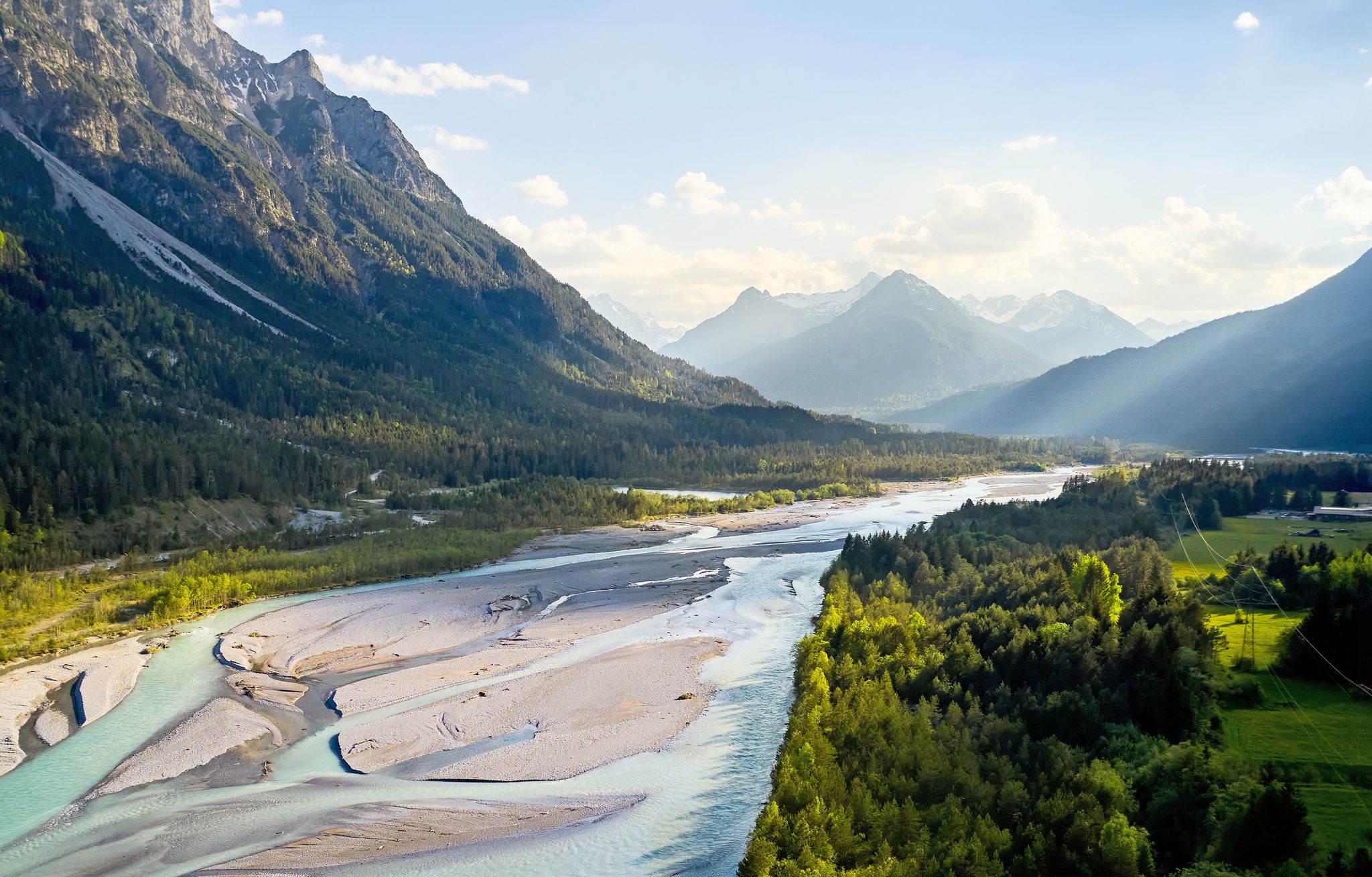
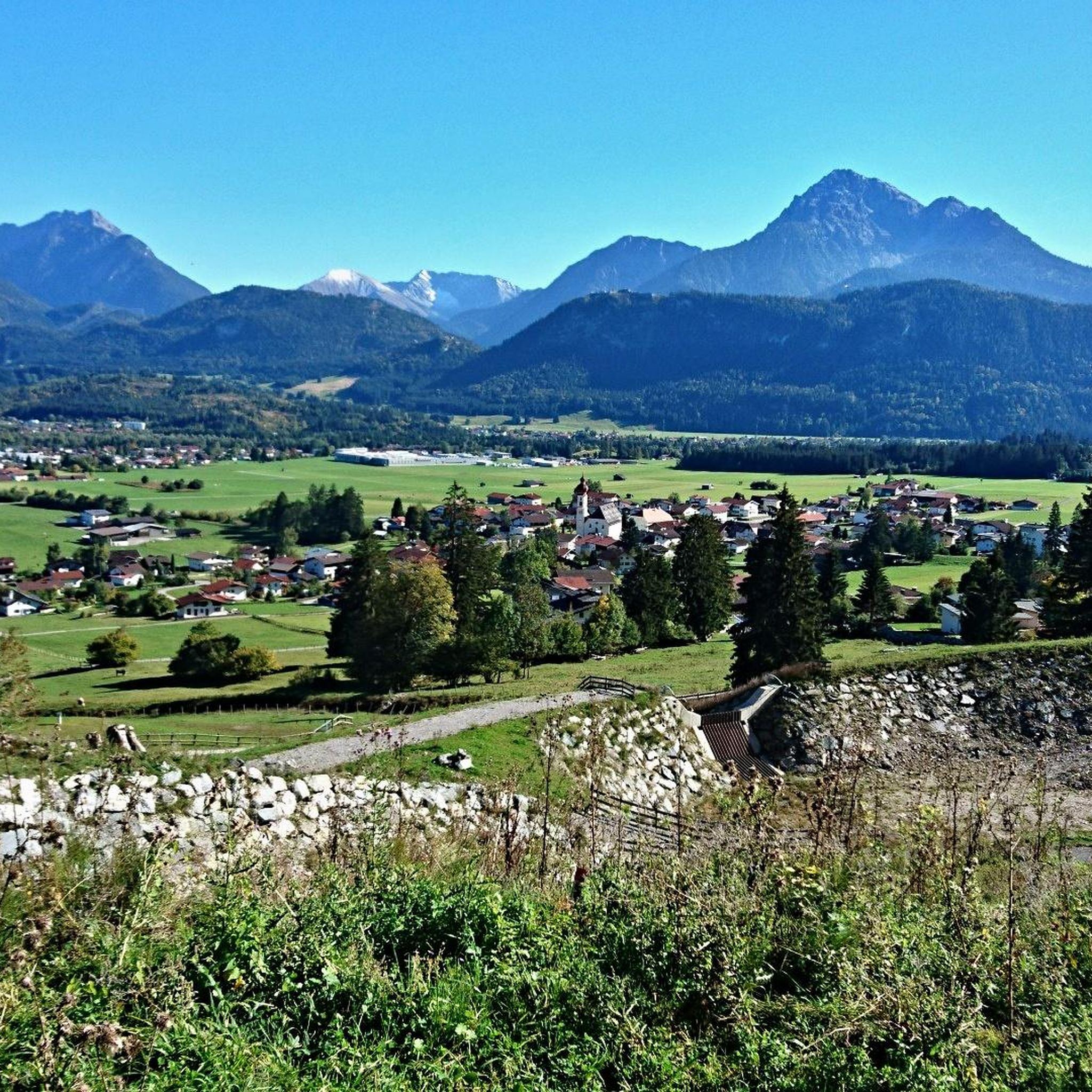
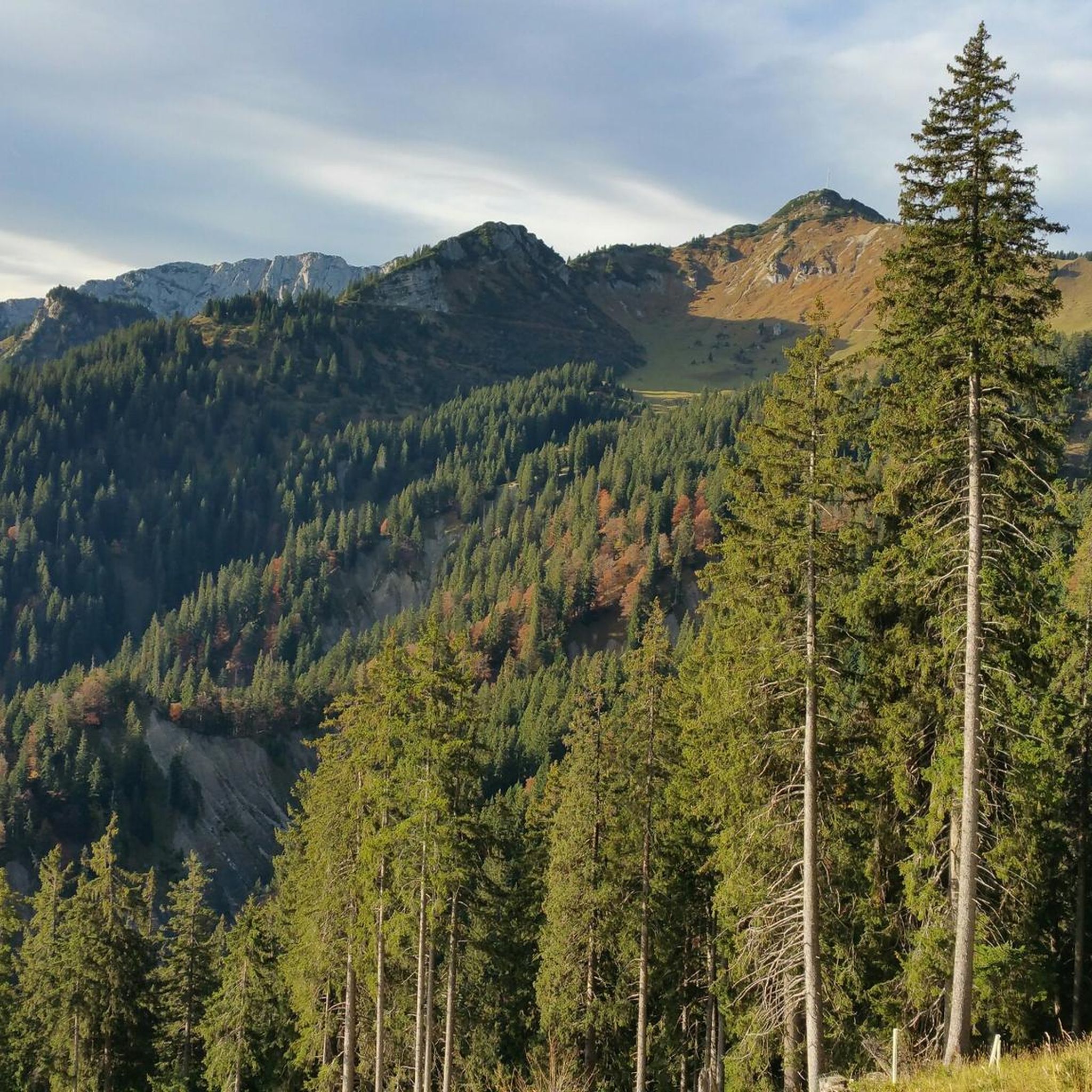
용케 구함 주변의 다른 모험

커뮤니티 팁

Beautiful alpine panorama. Definitely worth a visit 😉
5
1

The steep gravel path up is torture, but the view is worth it.
4
0

Wonderful view of the surrounding mountains and the Tannheimer Valley 👍
4
1

Breathtaking views of the surrounding mountains and the valley. A truly royal feeling! 😉 From the complex there is a great view of the Vilstal valley below and the peaks of the Tannheimer group.
5
0

The 1838 meter high Breitenberg near Pfronten is a relatively easy mountain to climb, and from the summit it offers a beautiful view down into the Allgäu. Several paths of varying steepness lead up in 2 - 2.5 hours, a complete crossing takes about 5 hours. An easy and long path starts on the west side north of the German-Austrian border. It is even easier to take the cable car to the saddle between Breitenberg and Aggenstein. The Ostlerhütte is right on the summit. On the steep north side is the Tirolerstadl and behind it a challenging path to the summit. In winter there is a ski area on the Breitenberg. Source: https://allgaeu-erleben.com/0404-breitenberg.php
4
0
The Zirmgrat is certainly the most beautiful route to the Falkenstein castle ruins - the highest castle in Germany at 1277 meters. King Ludwig II even wanted to build another fairytale castle on the site, which offers a magnificent panoramic view of the Allgäu Alps and the Alpine foothills. His father Maximilian I had already passed through here on his journey on what is now the "Maximiliansweg" from Lindau to Berchtesgaden. Source: https://www.outdooractive.com/de/route/wanderung/allgaeuer-alpen/von-fuessen-ueber-den-zirmgrat-nach-steinach/802435816/#caml=99c,1r8uuy,7v70rz,0,0
4
0


Great view on both sides of the ridge. Mountain panorama in the south, wide view of the Allgäu to the north
5
0


더 살펴보기
이 가이드를 통해 용케 구함 주변의 더 놀라운 정상들을 확인해보세요:
