4.4
(2609)
11,632
자전거 타는 사람
90
라이딩
파노 최고의 사이클링 경로를 따라 지역을 둘러볼까요? 파노에서 가장 멋진 자전거 라이딩 장소 중에서 가장 마음에 드는 라이딩을 선택해보세요.
마지막 업데이트: 7월 16, 2026
4.8
(110)
329
자전거 타는 사람
26.9km
01:55
30m
30m
초급용 자전거 라이딩. 모든 체력 수준에 적합. 대부분 포장된 지면. 실력과 관계없이 누구나 갈 수 있음.
4.7
(512)
1,913
자전거 타는 사람
38.4km
02:32
40m
40m
어려운 자전거 타기. 좋은 체력 필요. 투어 중 자전거를 끌고 가야 하는 구간이 있을 수 있음.

무료 회원 가입
4.7
(477)
1,674
자전거 타는 사람
38.8km
02:50
40m
40m
어려운 자전거 타기. 좋은 체력 필요. 투어 중 자전거를 끌고 가야 하는 구간이 있을 수 있음.
4.8
(410)
1,501
자전거 타는 사람
40.7km
02:44
40m
40m
보통 자전거 타기. 좋은 체력 필요. 대부분 포장된 지면. 실력과 관계없이 누구나 갈 수 있음.
4.4
(114)
876
자전거 타는 사람
21.7km
01:13
20m
20m
초급용 자전거 라이딩. 모든 체력 수준에 적합. 대부분 포장된 지면. 실력과 관계없이 누구나 갈 수 있음.
더 다양한 경로와 다른 탐험가들의 추천을 살펴보세요.
무료 회원 가입
이미 komoot 계정이 있나요?
투어 추천은 다른 사람들이 komoot에서 완료한 수천 개의 활동을 바탕으로 구성되어 있습니다.
오늘 무료 계정으로 시작하세요
다음 모험이 기다리고 있어요.
로그인 또는 가입하기
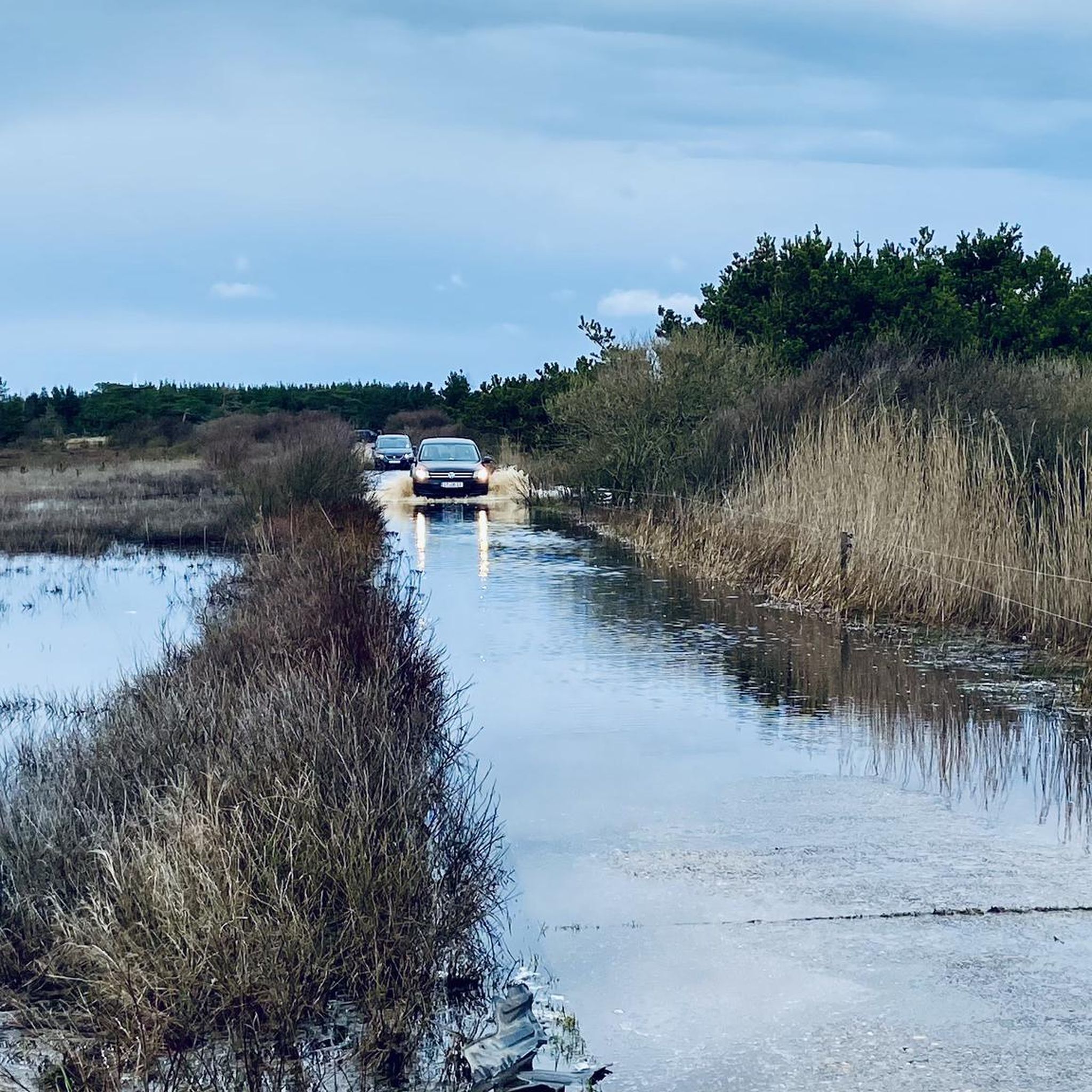
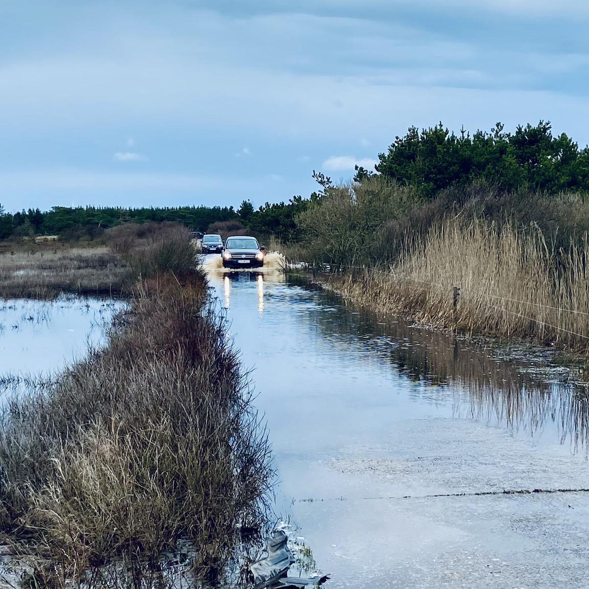
쇠네르호와 파노 바트 사이에 자동차 해변이 있습니다. 넓은 차선에서는 자전거를 타기에도 문제가 없습니다.
0
0
Access to the sea is very easy. Whether by car, bike, or on foot, it's easy to manage. Here, the beach access is called "Fanø Bad." No matter what, it's always interesting there, and there's plenty to discover. The old hotels and holiday homes are also very beautiful.
0
0
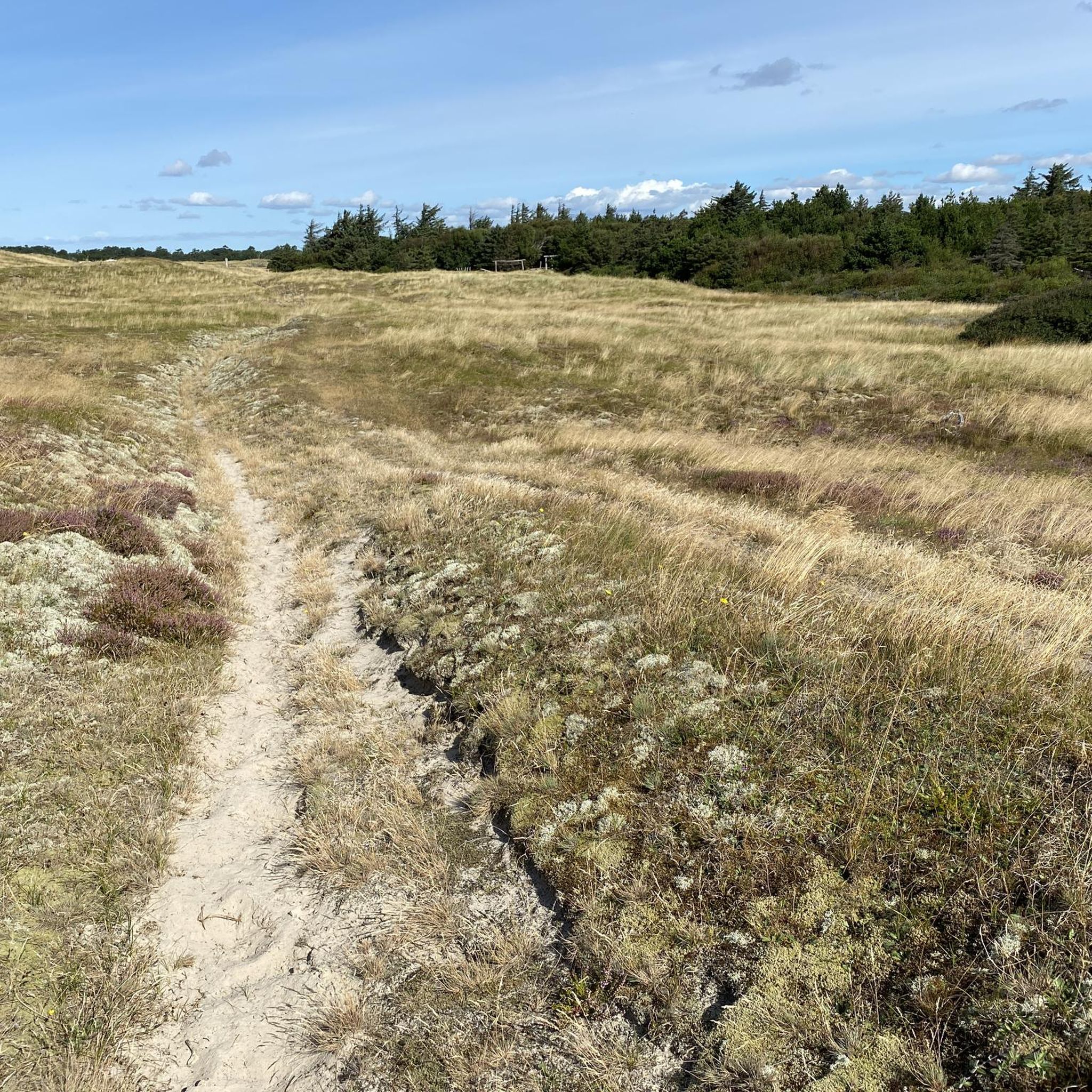
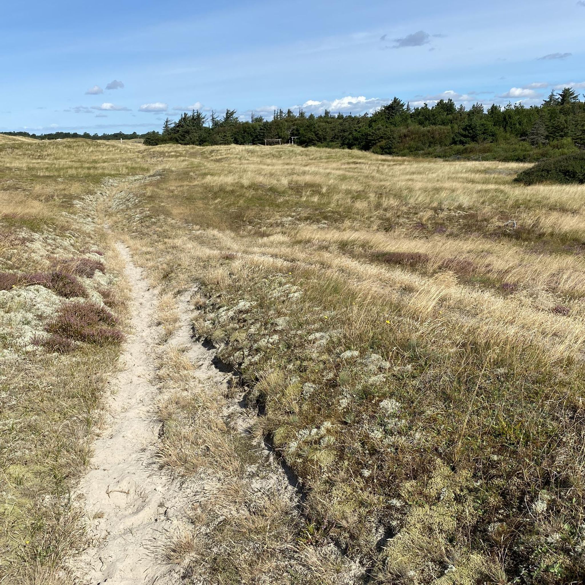
A beautiful panorama with a view over the mudflats towards the mainland. The path is unpaved – partly gravel and, for short sections (max. 100 meters), even sandy. But the heath and reed landscape makes up for it.
0
0
Fanø is the second northernmost of the Danish Wadden Sea islands and lies about 50 kilometers north of Sylt. The nearest major town is the industrial and port city of Esbjerg, which belongs to Jutland. A ferry connects Fanø to Esbjerg. The journey takes about twelve minutes. Fanø is 16 kilometers long and 5 kilometers wide at its widest point. The 55.78 km² island[2] has a population of 3,270 (as of January 1, 2025[1]). This corresponds to a population density of approximately 59 people per km². The two largest towns on the island are Nordby with 2,629 inhabitants and Sønderho with 279 inhabitants (as of January 1, 2025).[3] There are also the towns of Fanø Bad and Rindby. The economy is largely dependent on tourism. Fanø originated as a sandbank in the shallow sea between Horns Rev (reef) and the German island of Sylt. The island's subsoil consists primarily of drifting sand formations, which have formed both high dunes and flat areas. The vast dunes and the broad sandy beach, which stretch along Fanø's entire west coast, are the defining features of the landscape. Even today, the sea washes large quantities of sand onto the west beach, causing the island to slowly expand westward. In the east of the island (from Grøningen in the north to Hønen near Sønderho in the south) runs a narrow strip of marshland and riparian meadows, which are extensively grazed and from which reeds are harvested. In the center of the island are heathland, a planted pine forest, and a so-called klitplantage (roughly translated as "dune plantation"). Especially in autumn and winter, a comparatively large amount of amber washes up on the island's west beach after storms. Beads, animal figures and amulets made of amber have also been found here, dating back to the time of the Mesolithic Maglemose or Ertebølle culture.
0
0
다른 지역의 최고의 자전거 경로를 살펴보세요.