시머라스에서 가장 멋진 20개의 천연기념물
천연기념물을 방문하여 시머라스의 아름다운 풍경을 만나보세요. 시머라스에 있는 20
개의 천연기념물과 상세 정보를 살펴본 후에 방문하고 싶은 천연기념물을 다음 모험 계획에 추가해보세요!
마지막 업데이트: 9월 29, 2026
스트루펠트 황무지 및 이탄 습지 자연보호구역
하이라이트 • 자연
번역자 Google •
팁에 의해

호헤스 벤 습지를 가로지르는 나무 데크길
하이라이트 • 트레일
번역자 Google •
팁에 의해
이런 장소를 발견하려면 지금 가입하세요
최고의 싱글 트랙, 봉우리 및 다양한 흥미로운 야외 장소에 대한 추천을 받아보세요.

오버마우바흐 저수지
하이라이트 • 호수
번역자 Google •
팁에 의해

무료로 가입하여 시머라스 주변의 더 많은 자연 기념물을 발견하세요.
이미 komoot 계정이 있나요?
오늘 무료 계정으로 시작하세요
다음 모험이 기다리고 있어요.
시머라스 주변 인기 장소
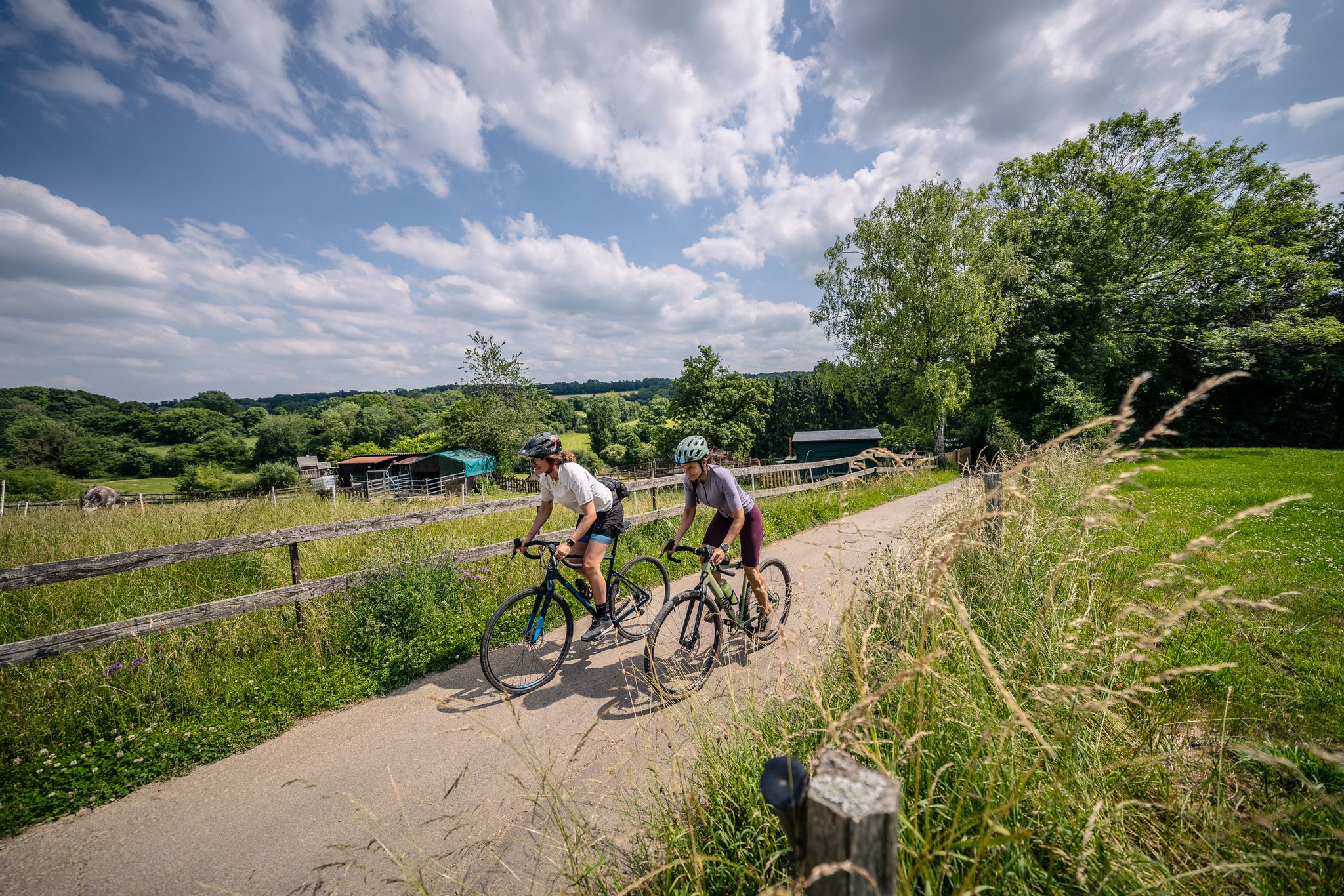
Gravel at its finest – rides around Aachen
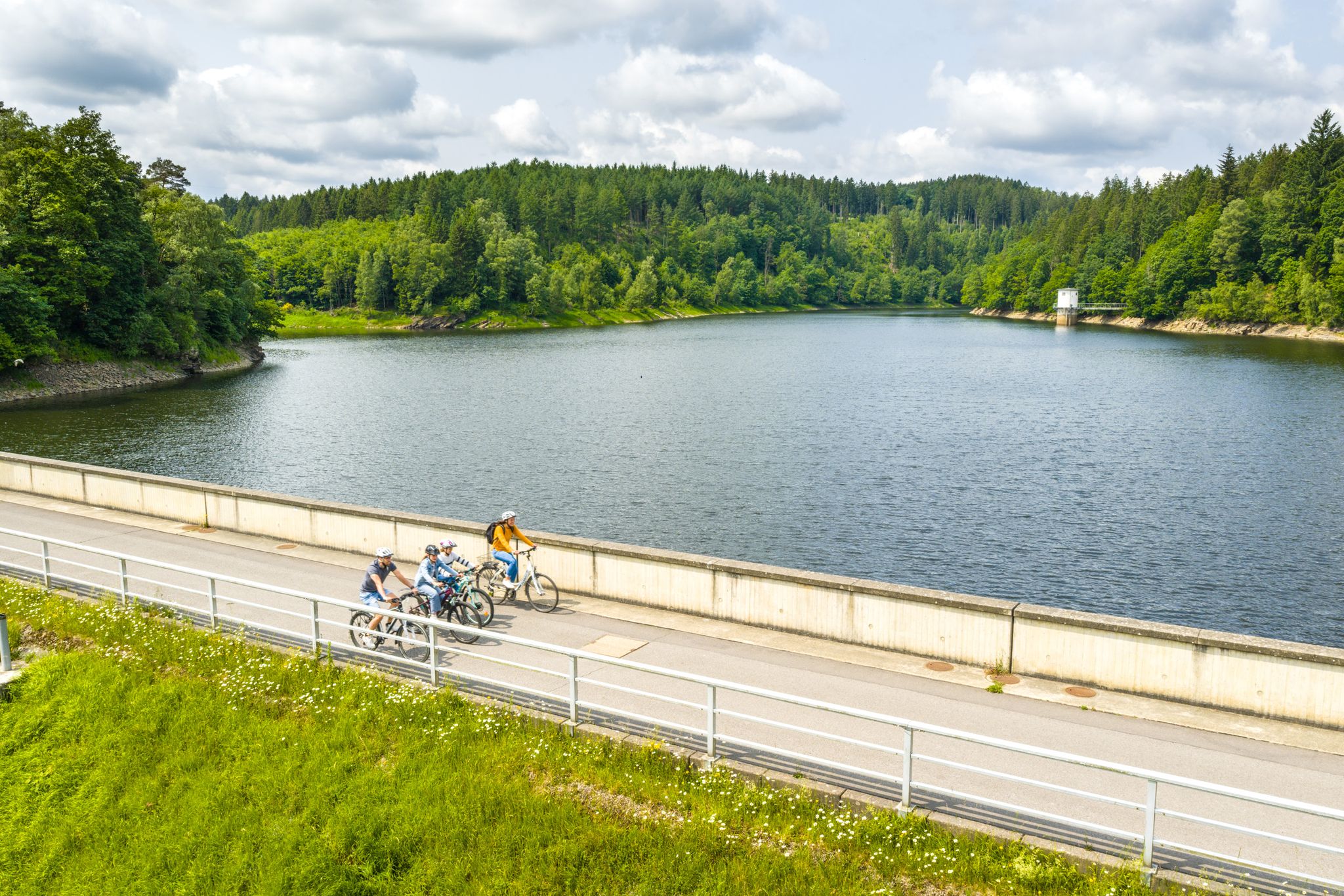
Aachen Time Loops – cycling from the past to the future
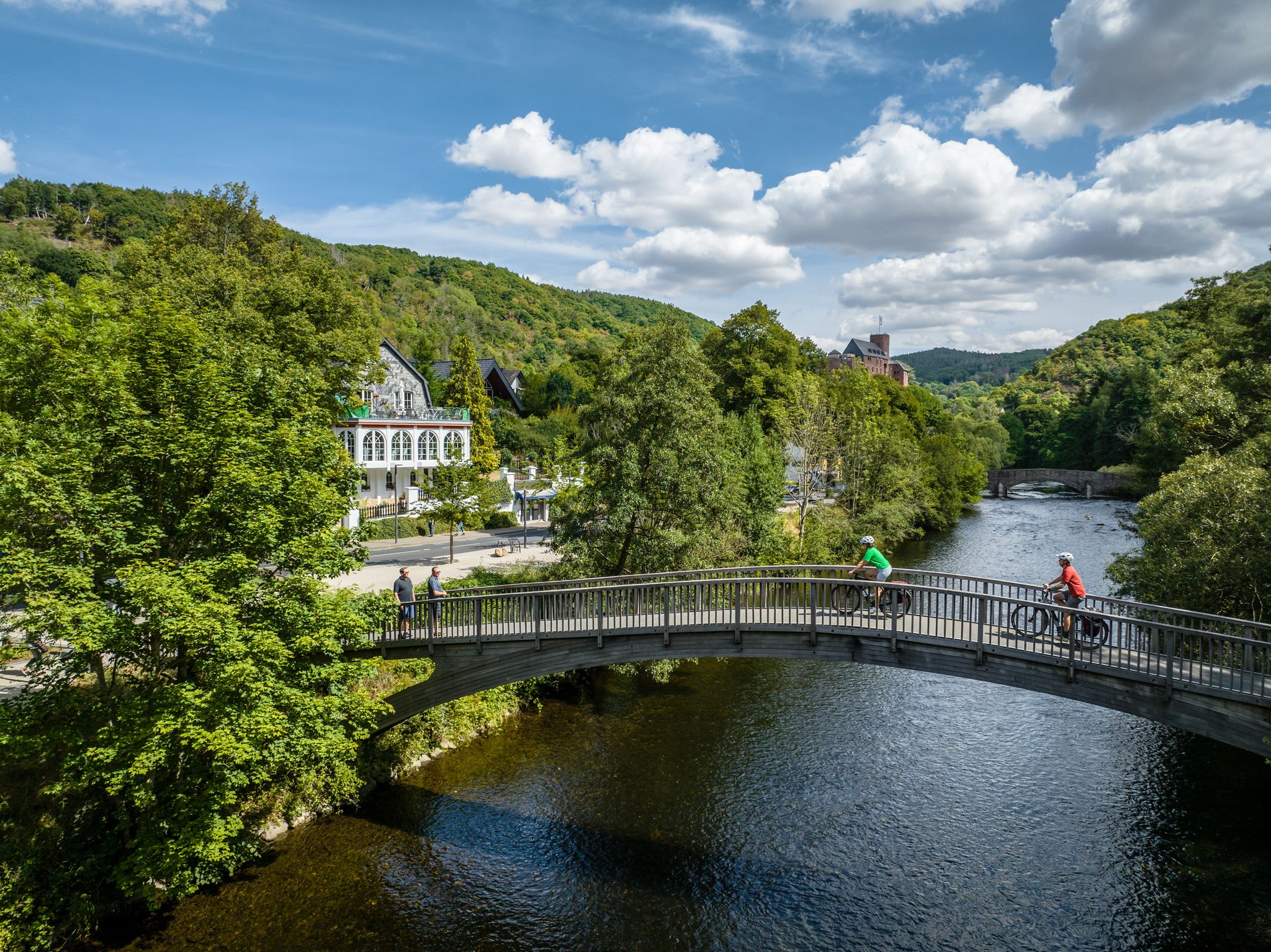
Heights, castles, moors – RURschleifen by bike
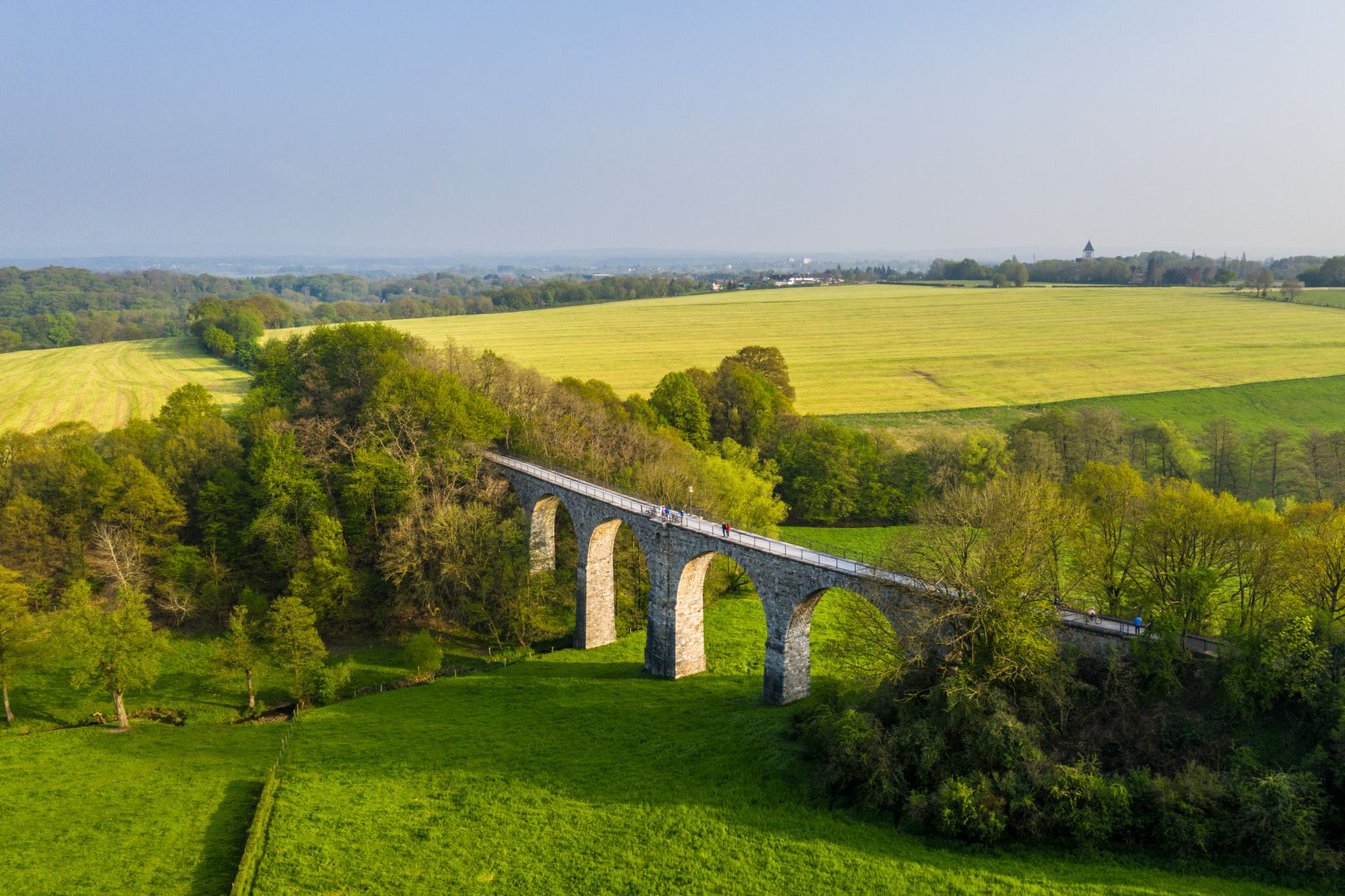
Cycling the tracks of the Vennbahn – the Vennbahnschleifen
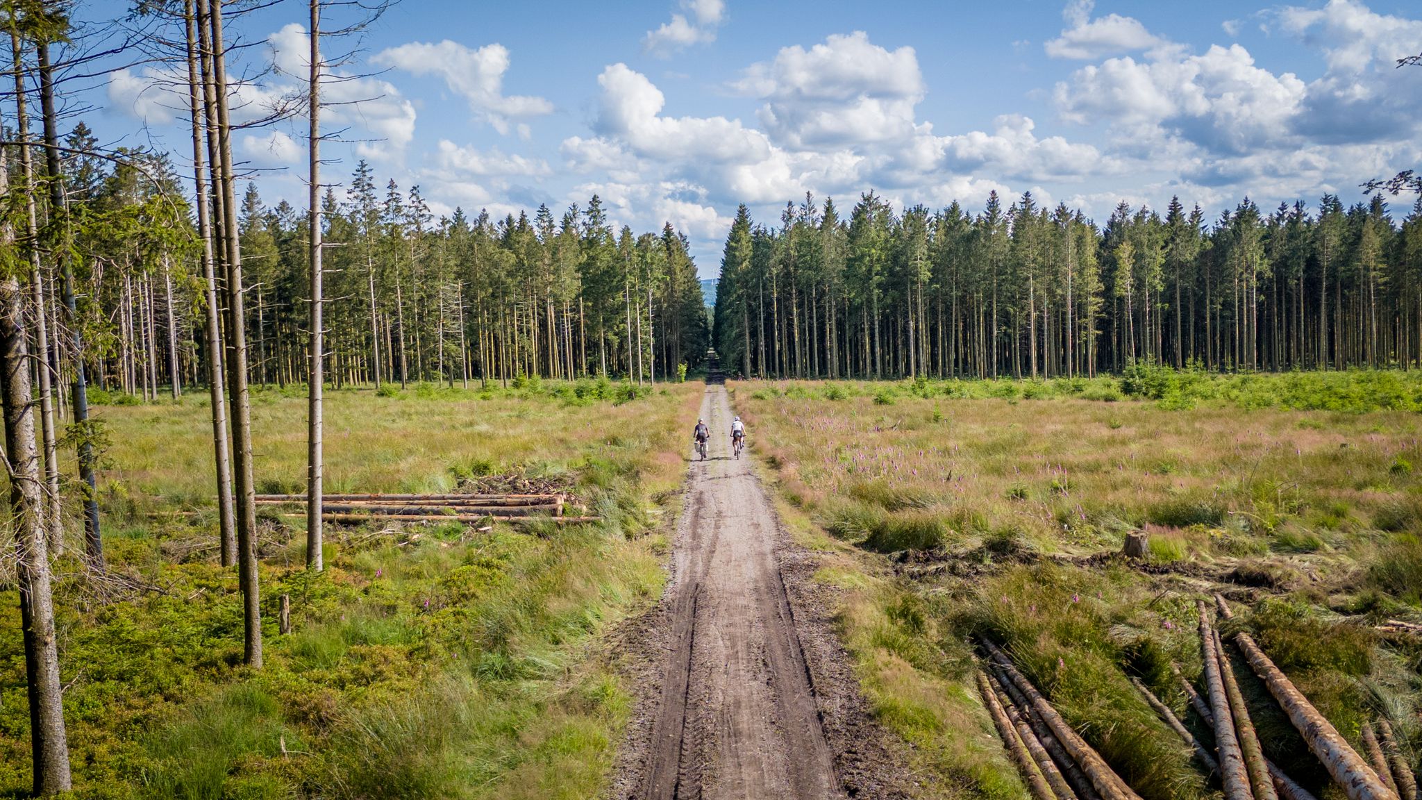
Vennbahn-Variant: A new gravel/MTB adventure
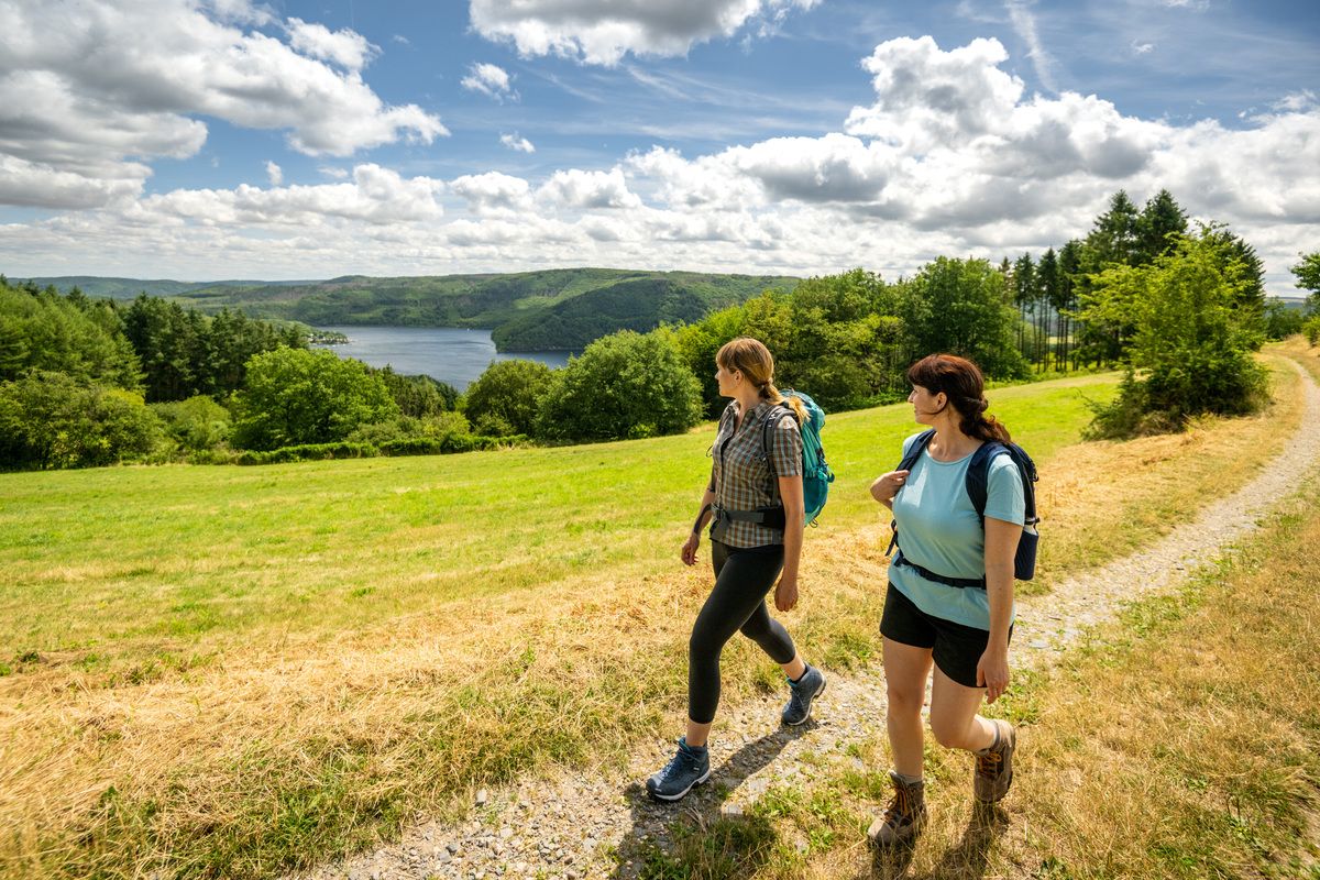
Shaped by rock and water – hikes in the Rureifel region
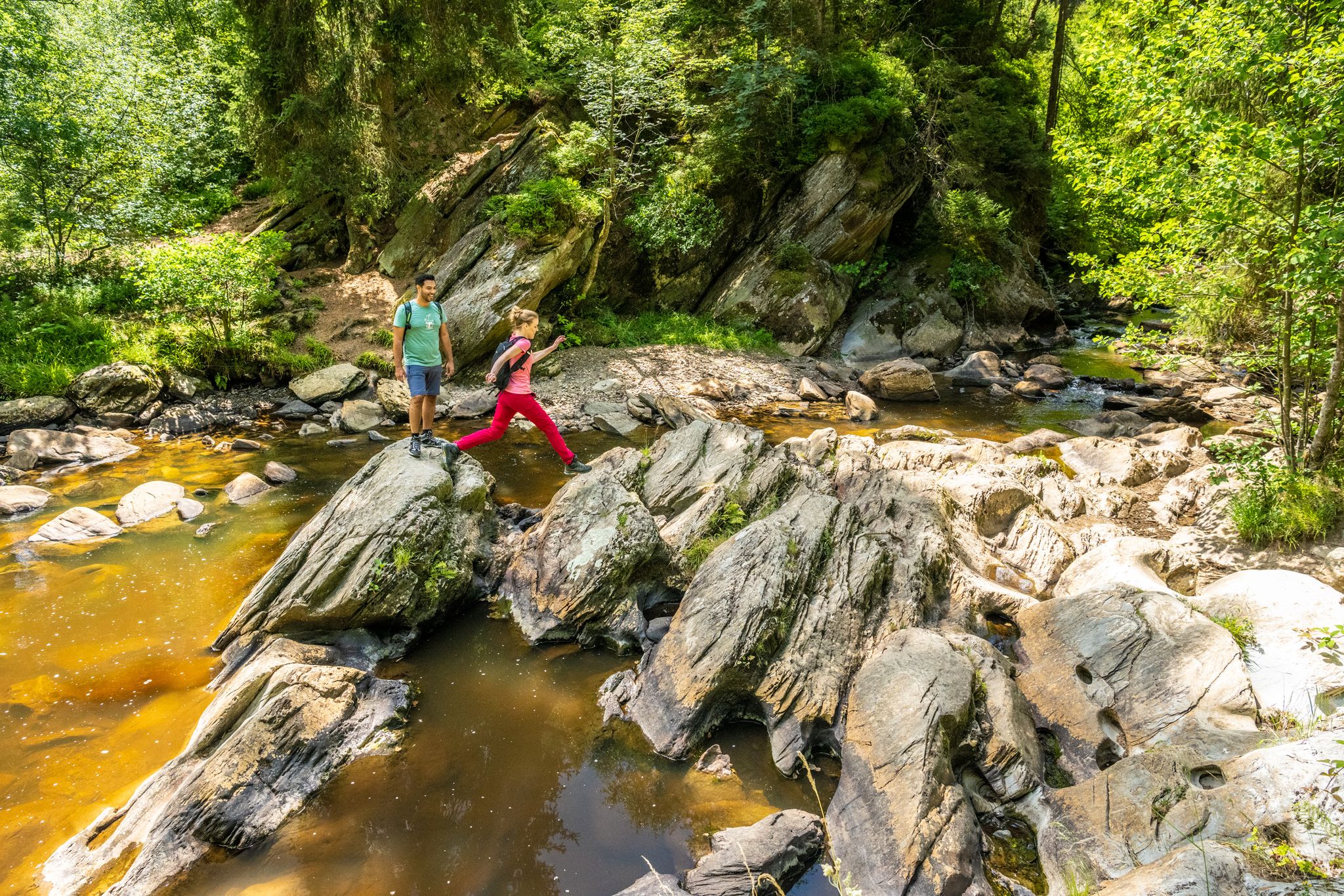
The Eifelsteig's 8 partner trails in Aachen region
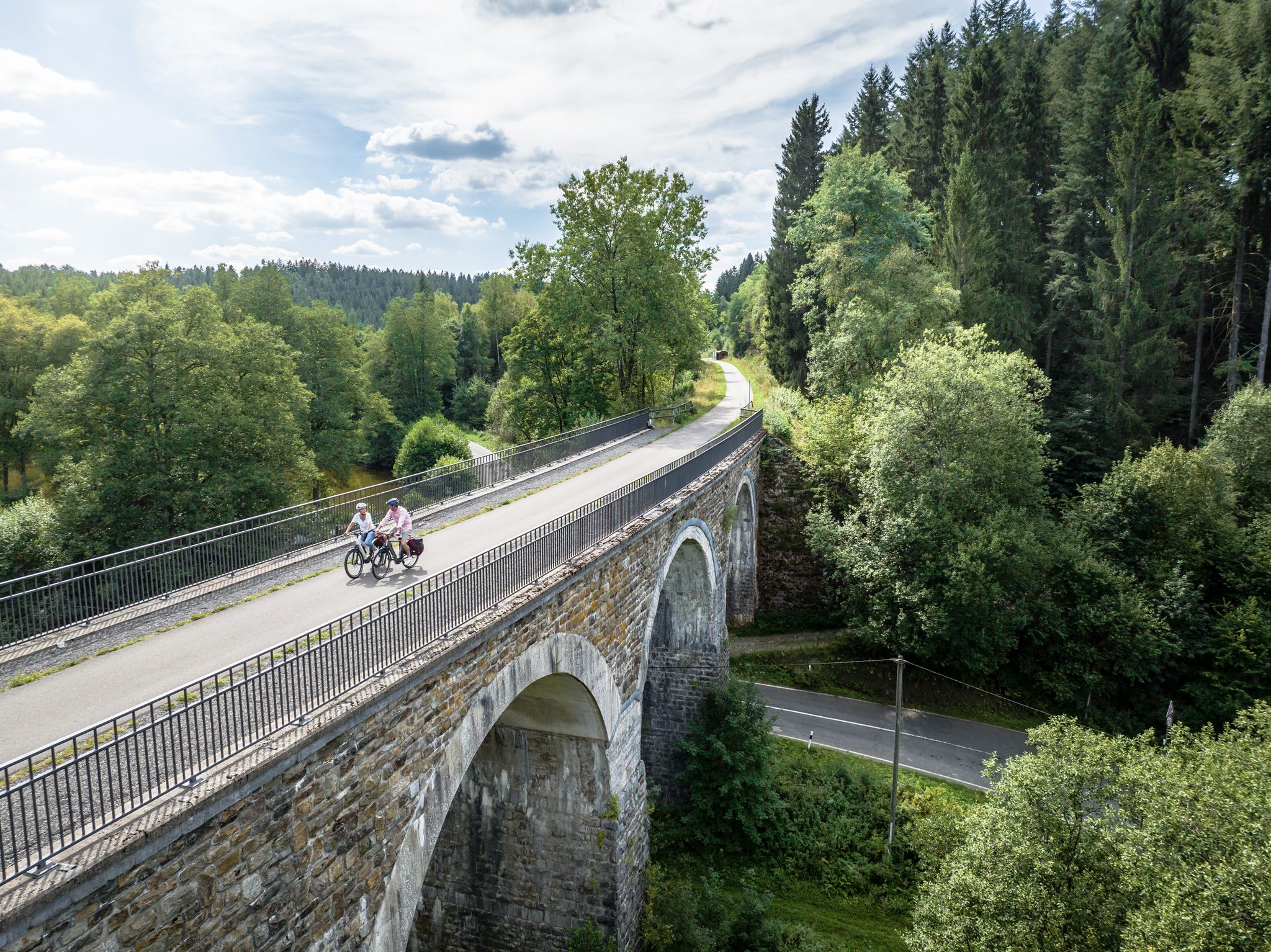
Fens, forests and water – cycling Tours in the Rur Eifel Region
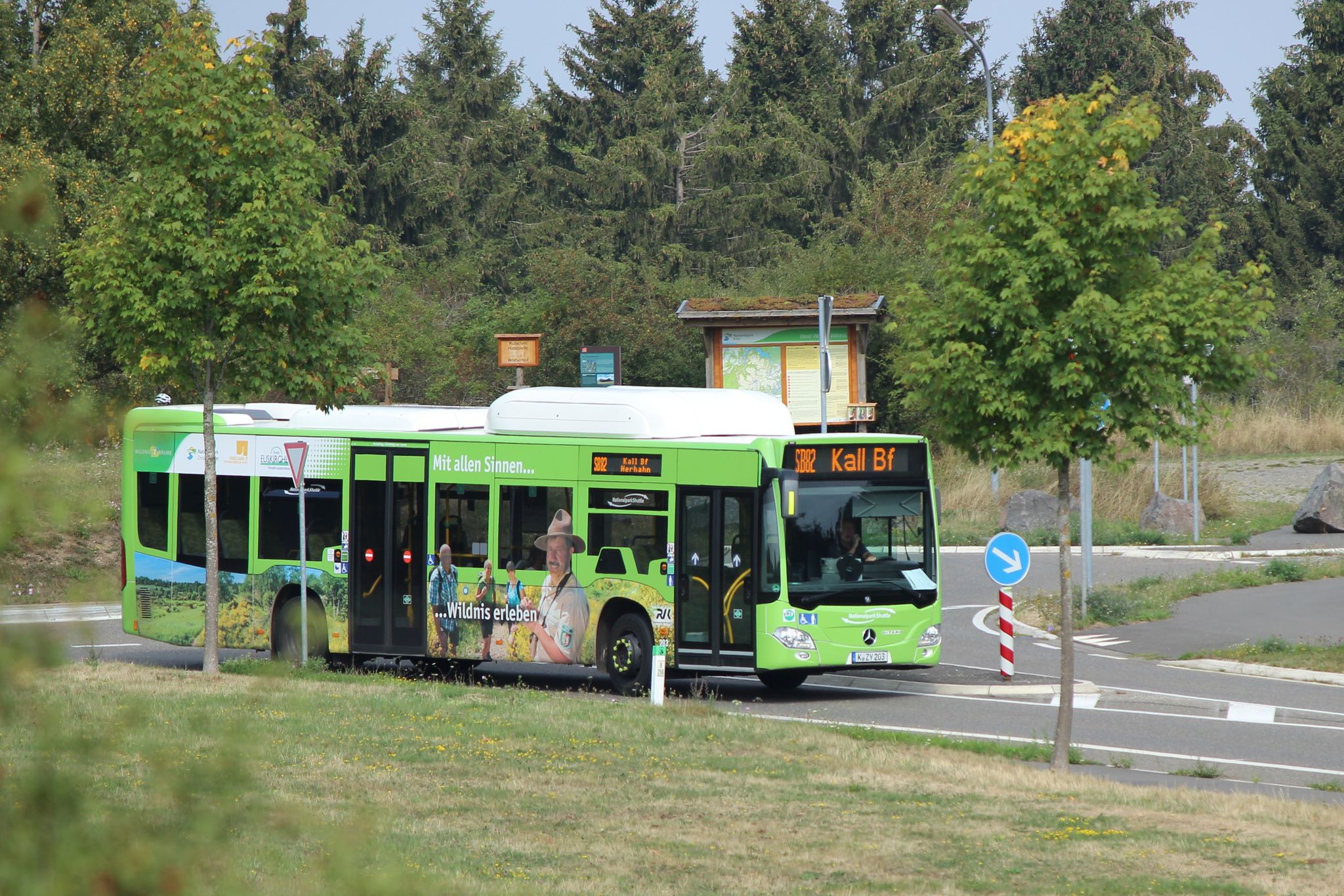
Head into wild nature with the Aachener Verkehrsverbund
Next stop:검색 이전! - 한지 아이미지 Eifel 도서대 정보 게이터
시머라스 주변의 다른 모험


커뮤니티 팁

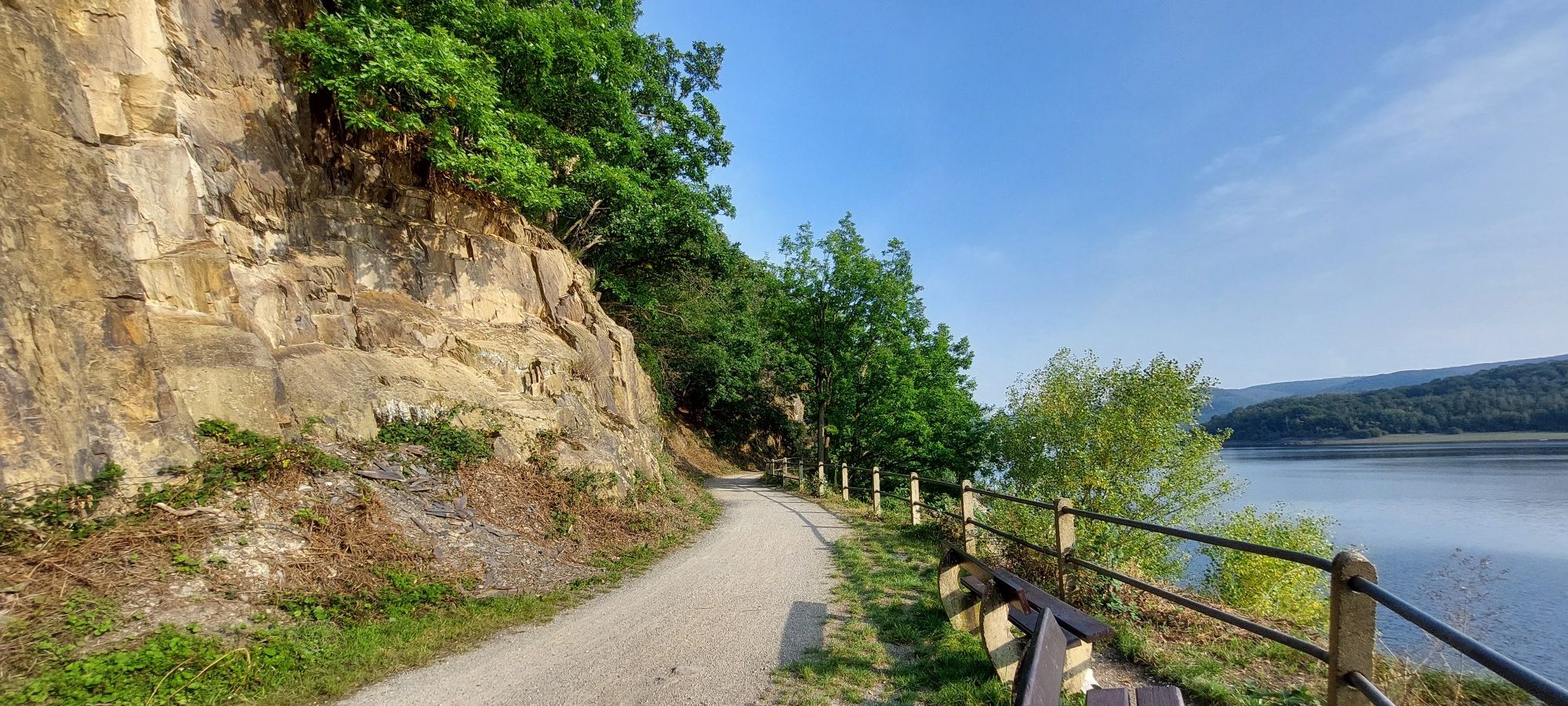
One of the most beautiful, if not the most beautiful vantage point on the Rursee.
55
2

The Obermaubach dam in Obermaubach in the municipality of Kreuzau in the district of Düren, North Rhine-Westphalia, was built in 1933 and 1934 and serves as a compensating reservoir for the Rur inflows of varying strength and to control the most even possible discharge of water into the Rur. The reservoir is located in the area of the municipality of Kreuzau as well as in the upper area in the area of the municipalities of Hürtgenwald and Nideggen.
19
1
The lizards like to sunbathe on the wooden walkways. If you cautiously tread the wooden walkways in the midday sun and watch the path in front of you, you will certainly see some or get in front of the lens.
81
3
The moors of the High Fens are peppered with thick and velvety moss pillows and desks. Responsible for this is the peat moss, a small, primitive spore plant that loves the humid, nutrient-poor conditions. Over time, a thick layer of dead plant material forms, which, enclosed airtight in standing water, condenses into peat over the centuries. There are also common heather, bell heather, sour grass, rushes and sedges. The fact that nature takes a year for a millimeter of peat explains the wasteful use of time by raised bogs.
87
2

The High Fens (French Hautes Fagnes, Dutch Hoge Venen) is a cross-border, shield-shaped arched plateau between Germany and Belgium with an area of over 600 km². 133 km² of this is in Germany. In Belgium, around 54 km² (5,368 ha) of the Venn area are state-owned as domanial nature reserves of the High Fens, after it grew by 5 km² in 2018 on Belgian territory. Large areas are designed as raised bogs, from which the name is derived: Venn, Fenn (Dutch Veen) for bog. With 694 m O.P. the Botrange is both the highest point in the High Fens and the highest mountain in Belgium. Geologically, the High Fens belongs to the left bank of the Rhenish Slate Mountains, as does the bordering Ardennes and the Eifel as well as the Hunsrück south of the Moselle. Naturally, it forms the main unit 283 as part of the Ardennes / West Eifel (main unit group 28). The Belgian part of the High Fens has been on the Belgian tentative list of UNESCO World Heritage sites since 2008.
35
1
The Obermaubach reservoir is approx. 3 km long and has a storage height of approx. 5 m. There is also a circular hiking trail around the reservoir.
13
0

Due to the numerous rainfall in the past few weeks, the pretty bog pools in the Brackvenn are all filled with water. In the last two extremely dry summers, this was not always the case with the smaller pools.
20
0
A beautiful, picturesque Venn landscape. A pleasure for the soul.
18
1
시머라스 주변에서 가장 인기 있는 명소


더 살펴보기
시머라스 주변의 최고의 동굴을 찾기 위해 이 가이드를 확인해보세요:
